Scotstoun
Settlement in Renfrewshire
Scotland
Scotstoun
Scotstoun is a small village located in the council area of Renfrewshire, Scotland. Situated approximately 8 miles west of Glasgow, it lies on the northern bank of the River Clyde. The village is part of the larger community of Renfrewshire and is considered a residential suburb.
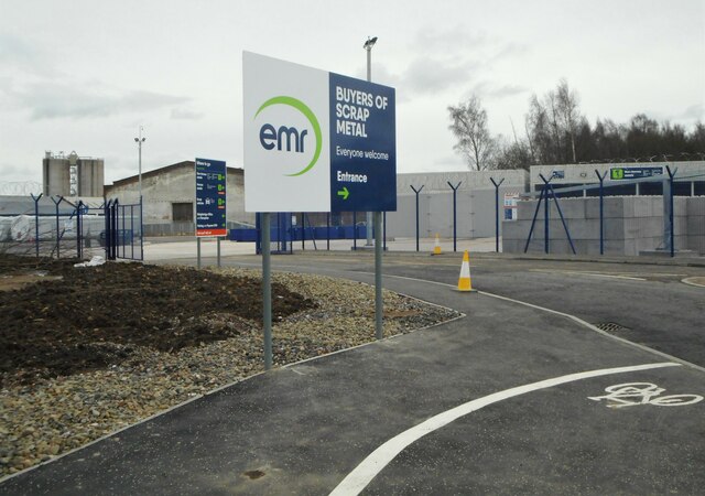
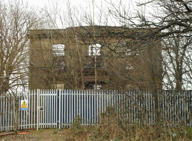
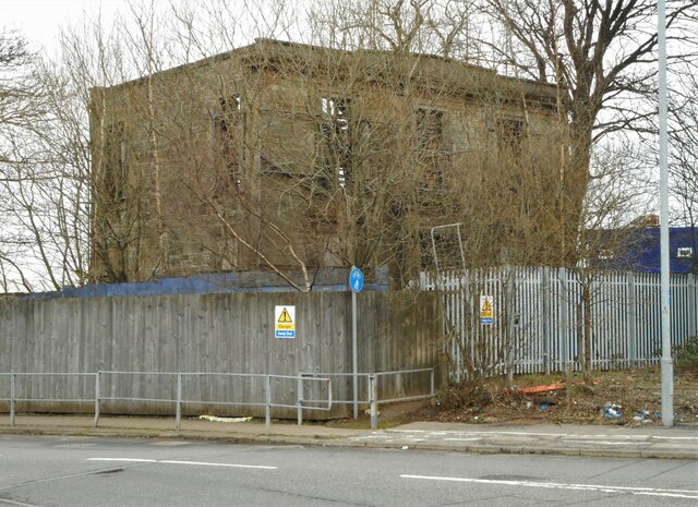
Scotstoun has a rich history that dates back many centuries. It was originally an agricultural area, with farms and fields dominating the landscape. Over time, the village grew and developed, and today it is a thriving community with a mix of residential, commercial, and industrial areas.
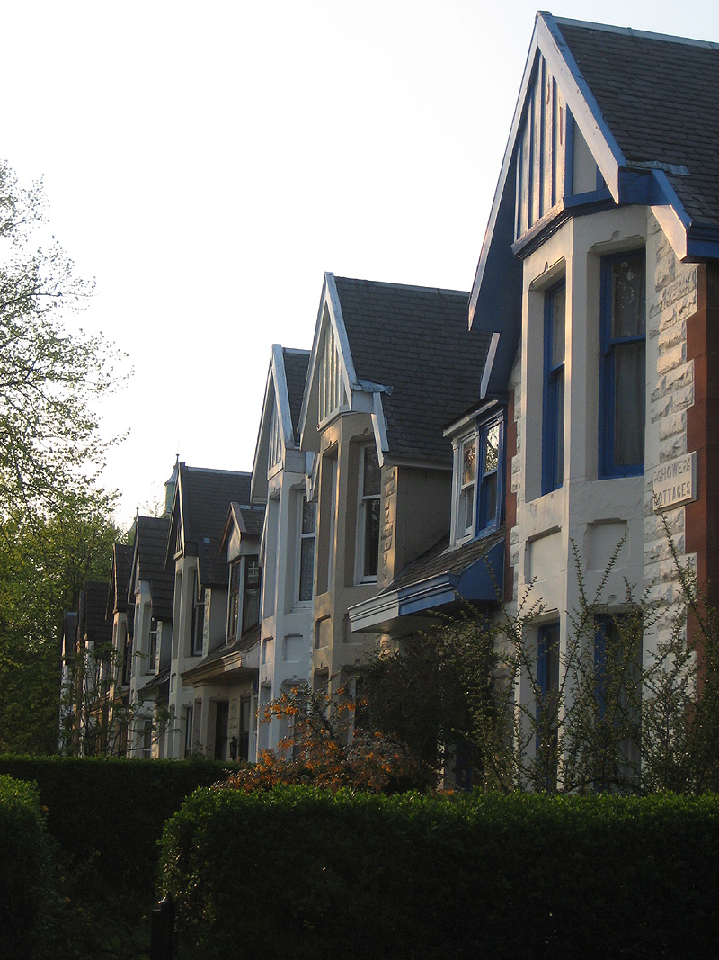
The village offers a range of amenities and services to its residents. There are several shops, including convenience stores and local businesses, providing everyday essentials. Scotstoun also has a number of schools, making it an attractive area for families.
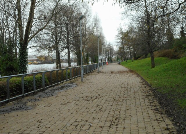
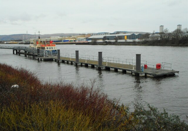
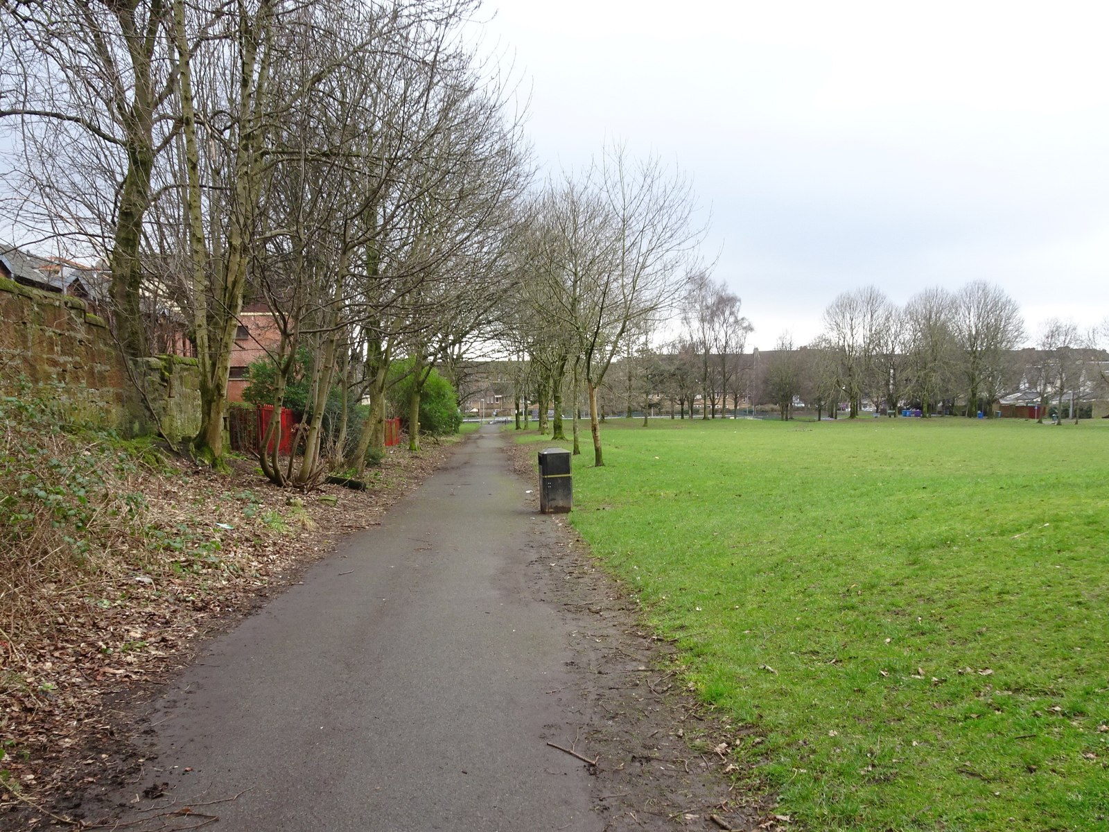
One of the notable landmarks in Scotstoun is the Scotstoun House, a historic mansion built in the 18th century. It has been converted into luxury apartments, adding a touch of elegance to the village. The surrounding area offers picturesque views, with the River Clyde and nearby countryside providing opportunities for outdoor activities such as walking and cycling.
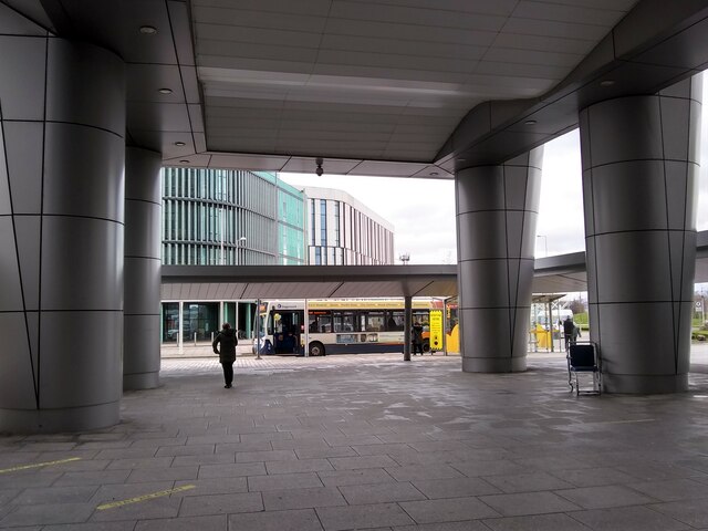
Transport links in Scotstoun are excellent, with regular bus services connecting the village to Glasgow and other surrounding areas. The nearby M8 motorway also provides easy access to the rest of Scotland.
Overall, Scotstoun is a charming village that combines history, modern amenities, and natural beauty. It offers a peaceful and pleasant environment for its residents, while still being close to the bustling city of Glasgow.
If you have any feedback on the listing, please let us know in the comments section below.
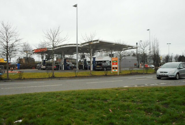
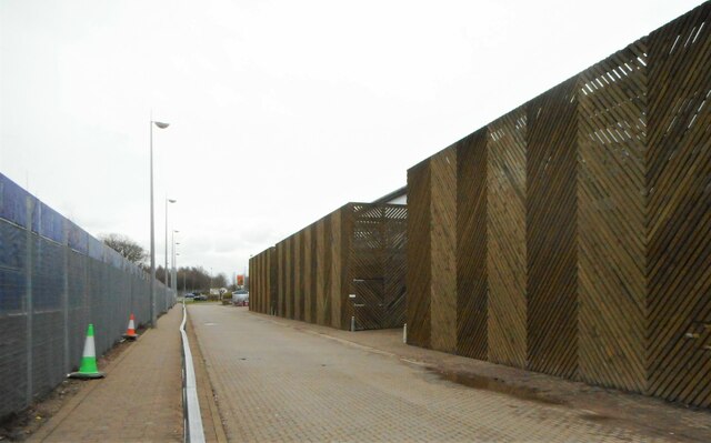
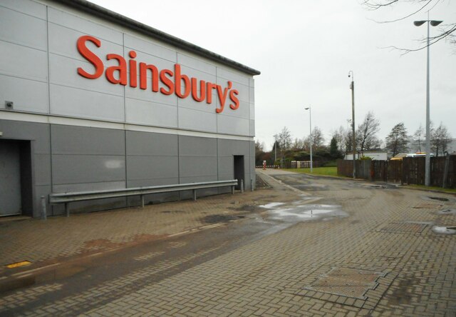
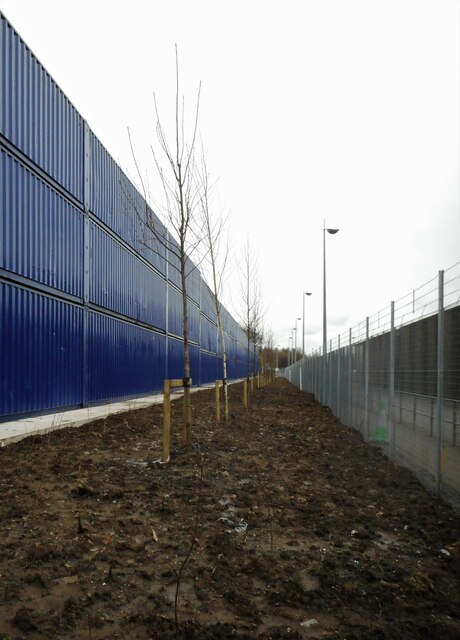
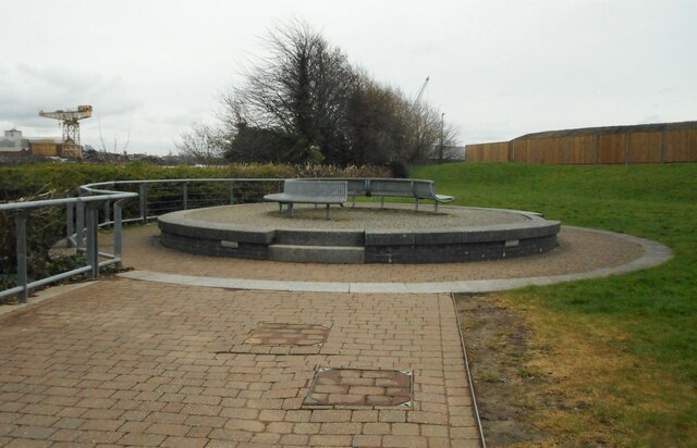
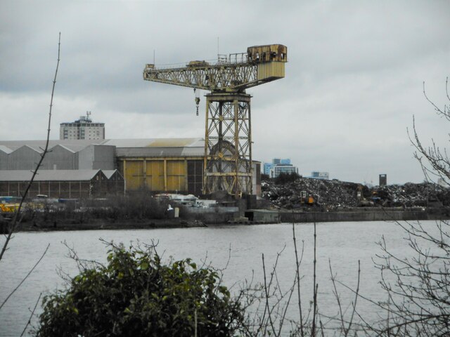
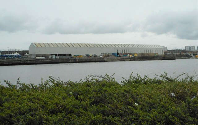
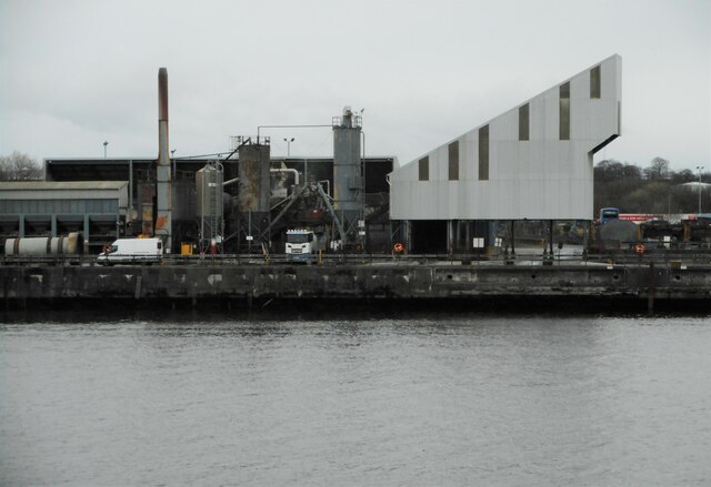
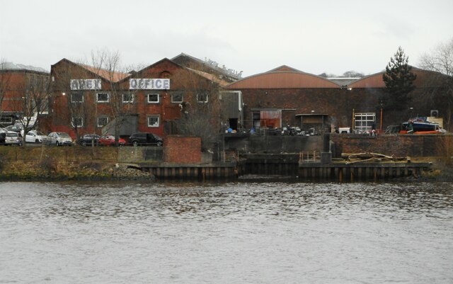
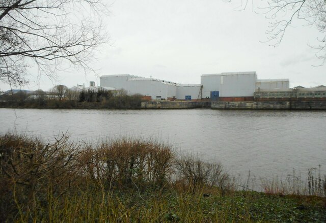
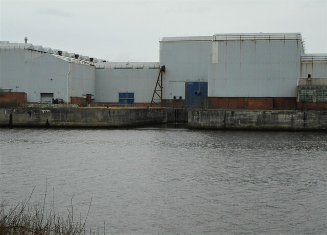
Scotstoun Images
Images are sourced within 2km of 55.87972/-4.3514405 or Grid Reference NS5367. Thanks to Geograph Open Source API. All images are credited.

Scotstoun is located at Grid Ref: NS5367 (Lat: 55.87972, Lng: -4.3514405)
Unitary Authority: City of Glasgow
Police Authority: Greater Glasgow
What 3 Words
///races.poem.crazy. Near Renfrew, Renfrewshire
Nearby Locations
Related Wikis
Scotstoun
Scotstoun (Scottish Gaelic: Baile an Sgotaich) is an area of Glasgow, Scotland, west of Glasgow City Centre. It is bounded by Garscadden and Yoker to the...

Scotstoun Parish Church
Scotstoun Parish Church is an early-20th-century parish church of the Church of Scotland located in the Scotstoun area of Glasgow. == History of the... ==
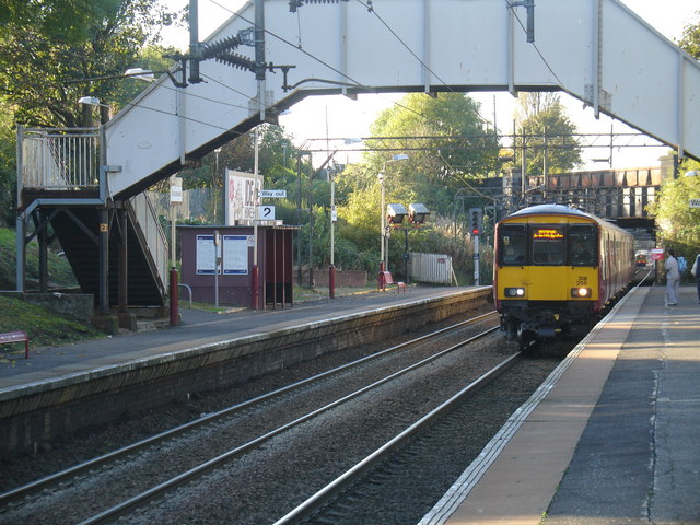
Scotstounhill railway station
Scotstounhill railway station serves Scotstounhill in Glasgow, Scotland. The station lies on the Argyle and North Clyde lines, serving the districts of...

Scotstoun Stadium
Scotstoun Stadium is an athletics and rugby union stadium in Scotstoun, an area in the West End of Glasgow, Scotland. Glasgow Warriors have trained at...
Whiteinch Victoria Park railway station
Whiteinch Victoria Park railway station was a suburban railway station serving Whiteinch in Glasgow, Scotland. It was opened as a goods station known as...

Scotstounhill
Scotstounhill () is a small area situated in western Glasgow, between south Knightswood and Scotstoun. Housing is mainly in a terraced or villa style,...

Jordanhill College
Jordanhill College was a higher education college in Jordanhill, Glasgow, Scotland. It opened as a teacher training college in 1921. The college merged...
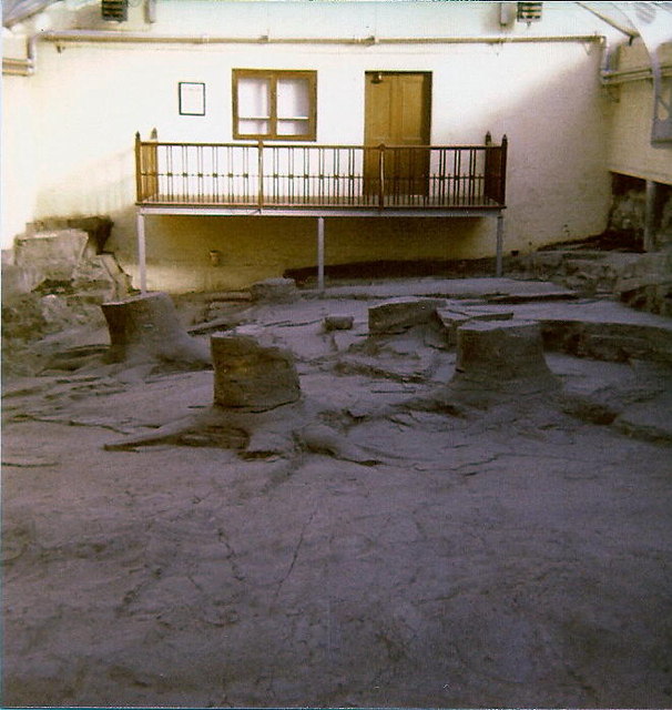
Fossil Grove
The Fossil Grove is a group of plant fossils located within Victoria Park, Glasgow, Scotland. It was discovered in 1887 and contains the fossilised stumps...
Nearby Amenities
Located within 500m of 55.87972,-4.3514405Have you been to Scotstoun?
Leave your review of Scotstoun below (or comments, questions and feedback).