Iburndale
Settlement in Yorkshire Scarborough
England
Iburndale
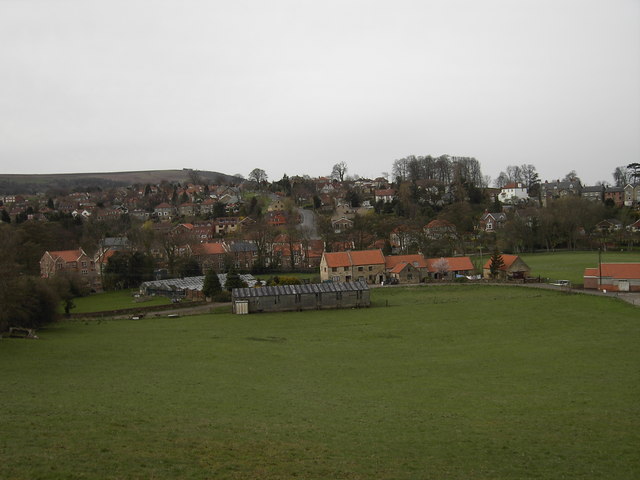
Iburndale is a picturesque village nestled in the heart of the Yorkshire Dales in England. Located in the Ryedale district of North Yorkshire, it is surrounded by stunning natural beauty and offers a tranquil retreat for locals and visitors alike.
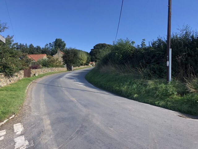
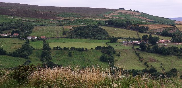
The village is known for its idyllic setting, with rolling hills, lush green meadows, and meandering streams. It is often referred to as a hidden gem in the Yorkshire countryside, attracting nature enthusiasts, hikers, and those seeking a peaceful getaway.
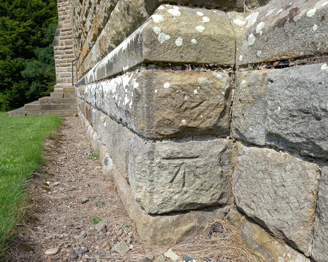
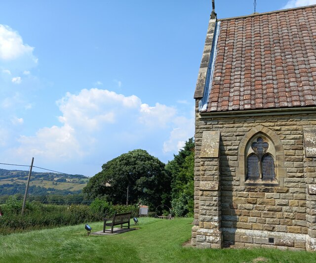
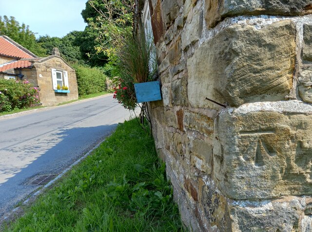
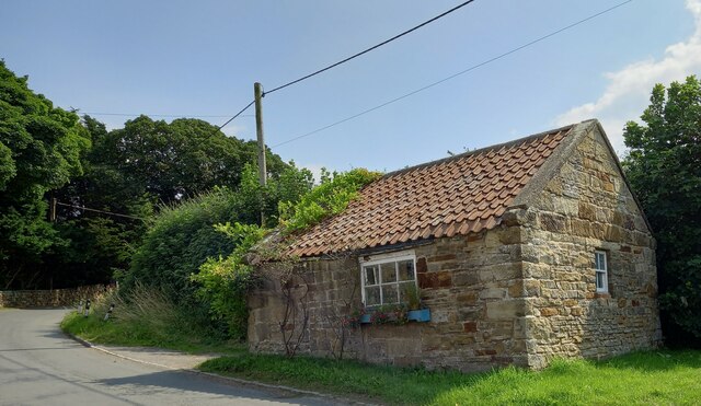
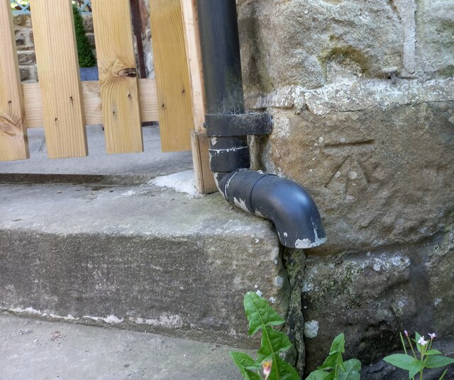
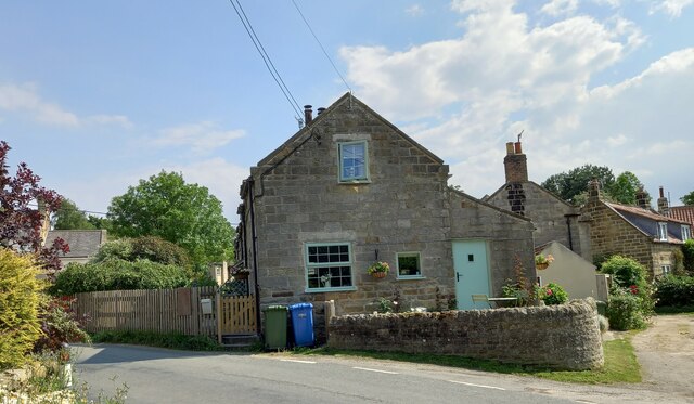
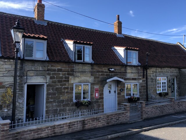
Iburndale is home to a close-knit community that takes pride in its heritage and rural lifestyle. The village has a rich history, dating back to medieval times, and is dotted with charming stone cottages and traditional buildings that add to its timeless appeal.
While it may be a small village, Iburndale is not lacking in amenities. The local pub, The Dalesman Inn, serves up hearty meals and a warm atmosphere, making it a popular spot for both residents and tourists. There is also a village shop for everyday essentials, ensuring that residents have convenient access to basic necessities.
For those who enjoy outdoor activities, Iburndale offers plenty of opportunities. The surrounding Dales are crisscrossed with footpaths and trails, perfect for exploring the countryside on foot or by bike. The nearby River Iburndale provides ample fishing spots for angling enthusiasts, while birdwatchers can spot a variety of species in the area.
In conclusion, Iburndale is a charming village that embodies the beauty and tranquility of the Yorkshire Dales. Its stunning natural surroundings, rich history, and welcoming community make it a delightful place to visit or call home for those seeking a peaceful retreat amidst breathtaking landscapes.
If you have any feedback on the listing, please let us know in the comments section below.
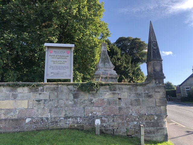
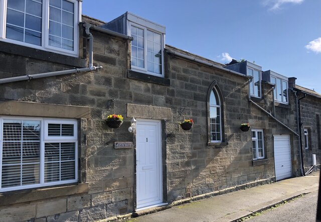
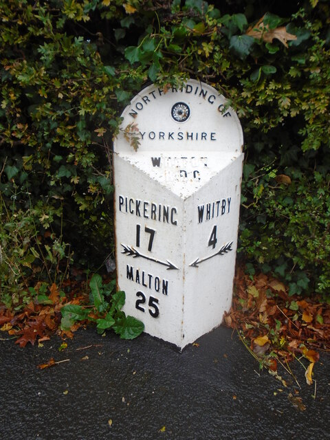
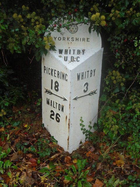
Iburndale Images
Images are sourced within 2km of 54.45207/-0.65498438 or Grid Reference NZ8707. Thanks to Geograph Open Source API. All images are credited.

Iburndale is located at Grid Ref: NZ8707 (Lat: 54.45207, Lng: -0.65498438)
Division: North Riding
Administrative County: North Yorkshire
District: Scarborough
Police Authority: North Yorkshire
What 3 Words
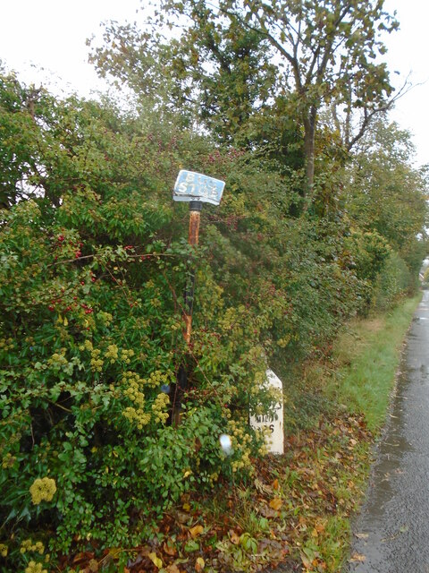
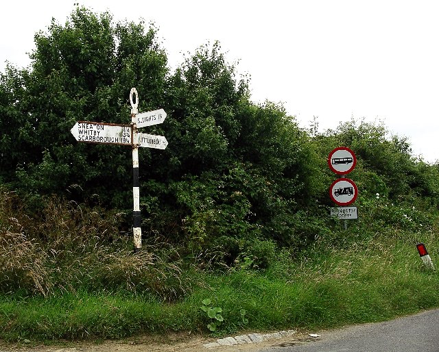
///grinning.monorail.expressed. Near Sleights, North Yorkshire
Nearby Locations
Related Wikis
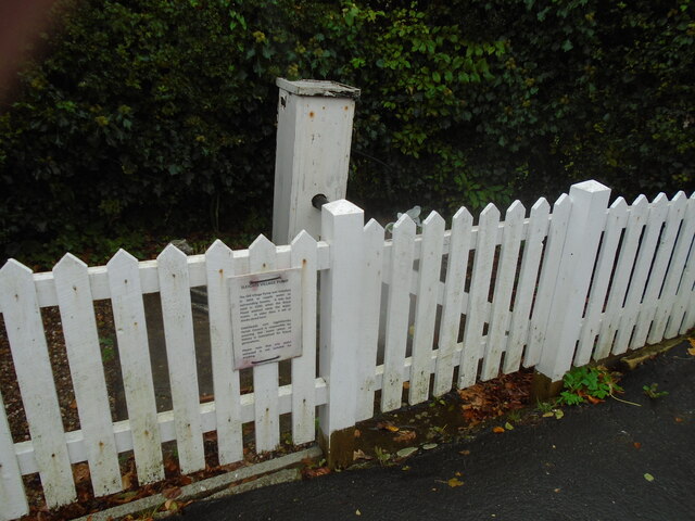
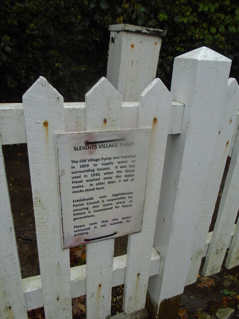
Sleights
Sleights is a village in North Yorkshire, England. Located in the Esk Valley in the postal region of Whitby, the village is part of the civil parish of...
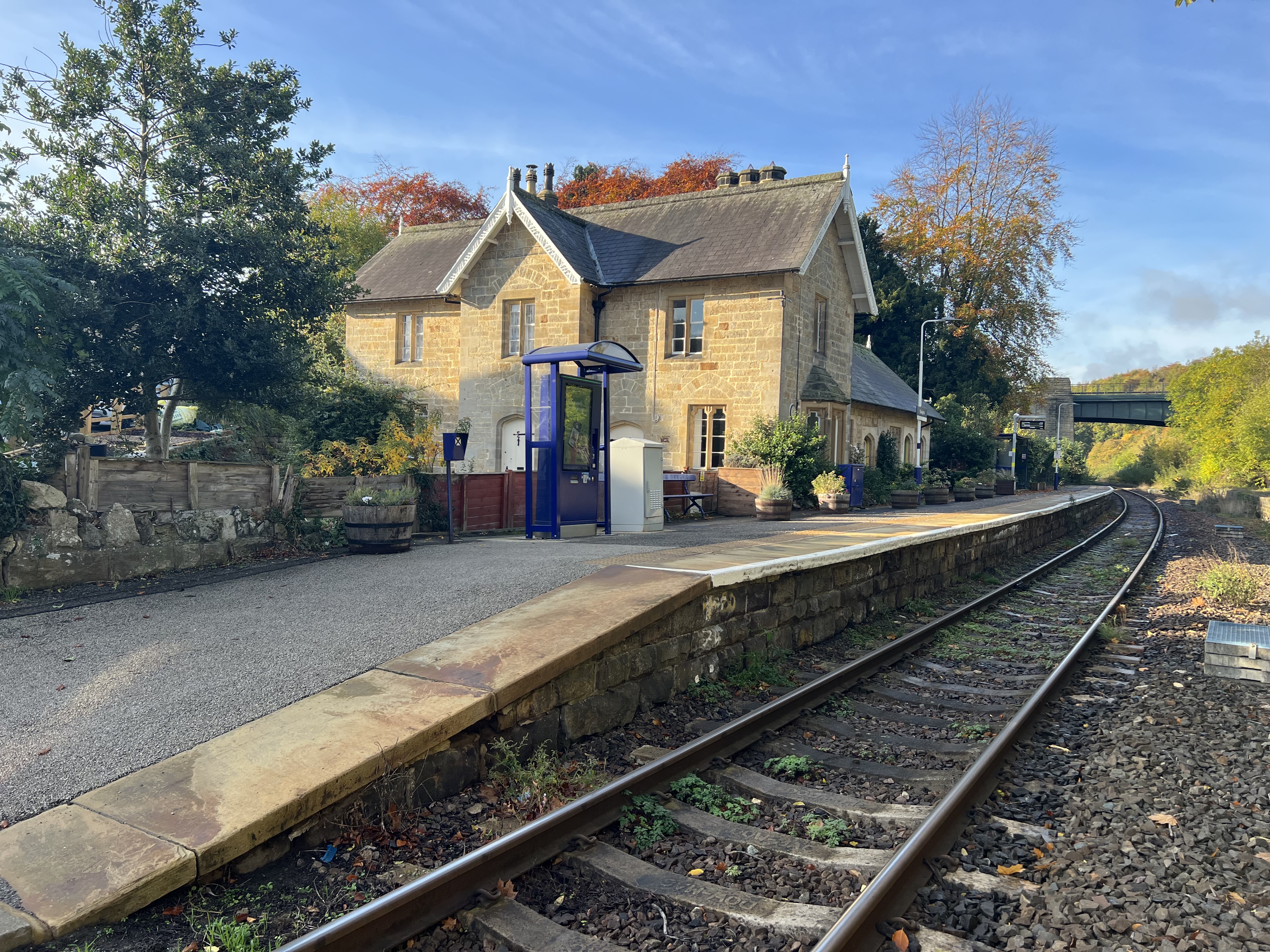
Sleights railway station
Sleights is a railway station on the Esk Valley Line, which runs between Middlesbrough and Whitby via Nunthorpe. The station, situated 2 miles 78 chains...

Ruswarp
Ruswarp village lies within the Scarborough borough of North Yorkshire, England. It is around 1.8 miles (2.9 km) from Whitby, at the junction of the B1410...

Briggswath
Briggswath is a village in the Scarborough district of North Yorkshire, England. the settlement is on the north bank of the River Esk, upstream of Ruswarp...
Related Videos
![주영투어 영국 외곽 도시 걷기[JuyoungTour Walking through rural town in UK]](https://i.ytimg.com/vi/0RU1yQVqaP8/hqdefault.jpg)
주영투어 영국 외곽 도시 걷기[JuyoungTour Walking through rural town in UK]
노스 요크 무어스 국립공원안에 있는 이 마을은 많은 영국인들이 트레킹이나 휴식여행을 하러 오는 곳 이라고 합니다. 몇몇의 동네 ...
![주영투어 영국 개울 산책코스 [JuyoungTour small stream walking course in UK]](https://i.ytimg.com/vi/fI54h8KH9LA/hqdefault.jpg)
주영투어 영국 개울 산책코스 [JuyoungTour small stream walking course in UK]
집에만 있기 지루해서 사람들 없는 산책로로 산책을 다녀왔습니다. (We went for a walk on the footpath where nobody goes because ...

Ooh I wish we could see more Moors
David and mark are on their penultimate day of their 192 milk walk from Coast to Coast, they are reflecting on their last 13 and ...
Sleights & Grosmont, North York Moors - 7 August 2021
A 10 mile walk from Sleights in the North Yorkshire. The route heads south along Little Beck before climbing out of the valley via ...
Nearby Amenities
Located within 500m of 54.45207,-0.65498438Have you been to Iburndale?
Leave your review of Iburndale below (or comments, questions and feedback).