Ugglebarnby
Settlement in Yorkshire Scarborough
England
Ugglebarnby
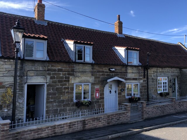
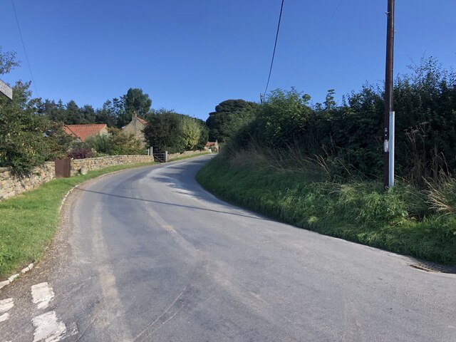
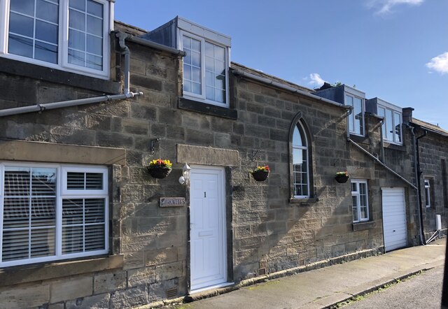
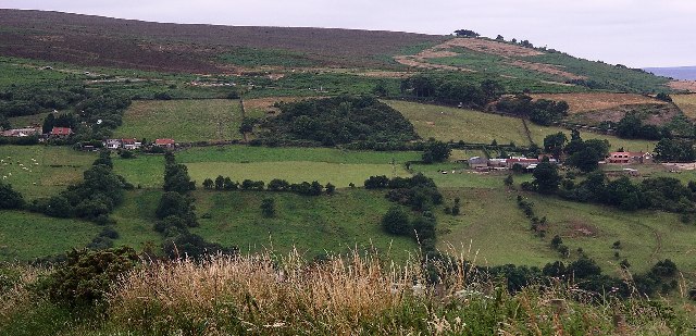
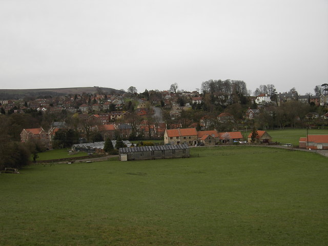
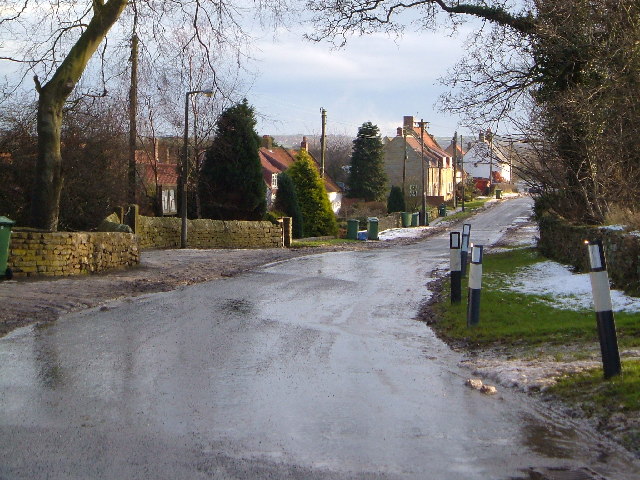
Ugglebarnby is a small village located in the Scarborough district of the county of North Yorkshire, England. Situated on the eastern edge of the North York Moors National Park, it is nestled in a picturesque countryside setting, offering stunning views and a tranquil atmosphere.
The village is home to a close-knit community of approximately 200 residents. Its origins can be traced back to medieval times, with evidence of human settlement dating as far back as the 11th century. Ugglebarnby is steeped in history, and remnants of its past can be found in the form of historical buildings and landmarks scattered throughout the area.
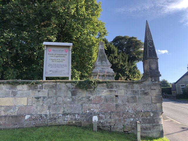
One notable landmark is the St. Anne's Church, a Grade II listed building that dates back to the 12th century. This charming church showcases beautiful Norman architecture and acts as a focal point for religious and community events.
Despite its small size, the village benefits from a range of amenities, including a village hall and a primary school, providing essential services to the local population. For additional facilities, residents can easily access the nearby town of Whitby, which is approximately 4 miles away and offers a wider range of shops, restaurants, and leisure activities.
Ugglebarnby is also a popular destination for nature lovers and hikers, thanks to its proximity to the North York Moors. The surrounding area boasts stunning walking trails, allowing visitors to explore the breathtaking landscapes and abundant wildlife that characterize this part of Yorkshire.
Overall, Ugglebarnby offers a peaceful and idyllic countryside living experience, with a rich history and natural beauty that attracts both residents and tourists alike.
If you have any feedback on the listing, please let us know in the comments section below.
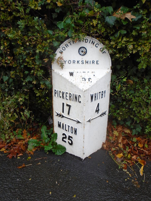
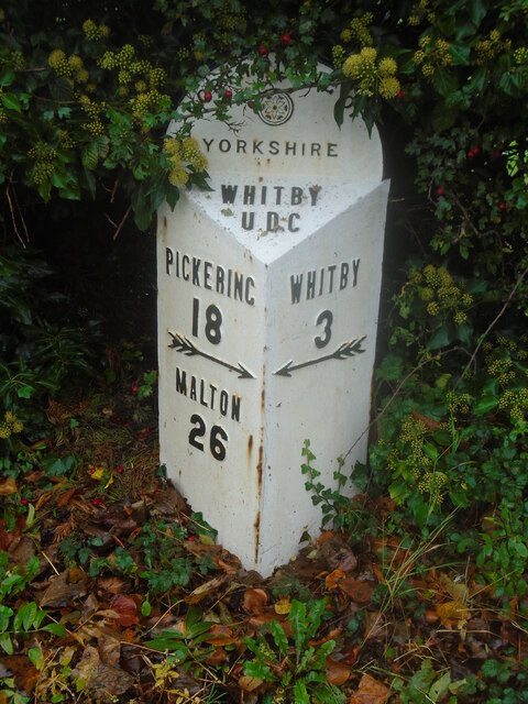
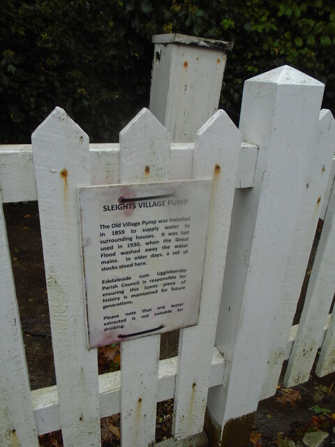
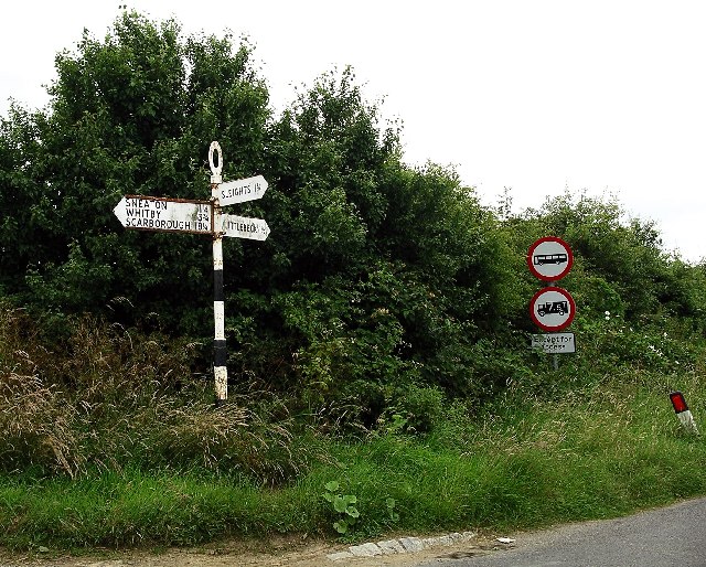
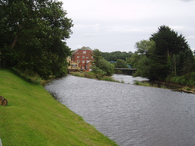
Ugglebarnby Images
Images are sourced within 2km of 54.45292/-0.646614 or Grid Reference NZ8707. Thanks to Geograph Open Source API. All images are credited.


Ugglebarnby is located at Grid Ref: NZ8707 (Lat: 54.45292, Lng: -0.646614)
Division: North Riding
Administrative County: North Yorkshire
District: Scarborough
Police Authority: North Yorkshire
What 3 Words
///envelope.lakeside.boardroom. Near Sleights, North Yorkshire
Nearby Locations
Related Wikis

Ruswarp
Ruswarp village lies within the Scarborough borough of North Yorkshire, England. It is around 1.8 miles (2.9 km) from Whitby, at the junction of the B1410...
Sleights
Sleights is a village in North Yorkshire, England. Located in the Esk Valley in the postal region of Whitby, the village is part of the civil parish of...
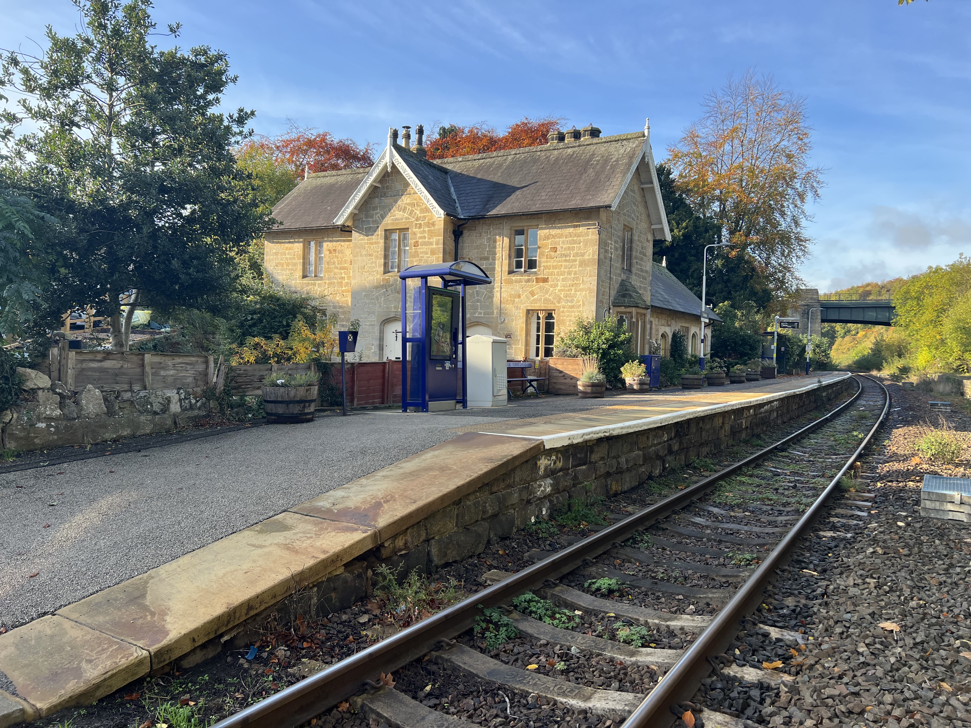
Sleights railway station
Sleights is a railway station on the Esk Valley Line, which runs between Middlesbrough and Whitby via Nunthorpe. The station, situated 2 miles 78 chains...
Sneaton
Sneaton is a village and civil parish in the Scarborough district of North Yorkshire, England. There is a church which is dedicated to St Hilda. According...
Nearby Amenities
Located within 500m of 54.45292,-0.646614Have you been to Ugglebarnby?
Leave your review of Ugglebarnby below (or comments, questions and feedback).