Low Dale
Valley in Yorkshire Scarborough
England
Low Dale
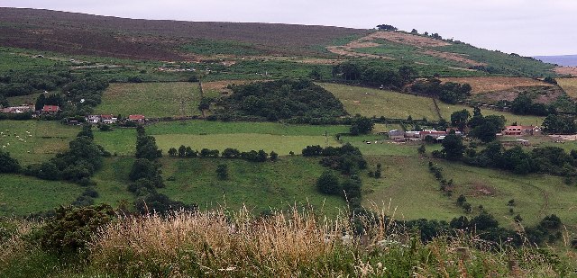
Low Dale is a picturesque valley located in the county of Yorkshire, England. Situated amidst the rolling hills of the Pennines, the valley offers stunning natural beauty and a tranquil escape from the hustle and bustle of city life. Its idyllic setting makes it a popular destination for nature lovers, hikers, and those seeking a peaceful retreat.
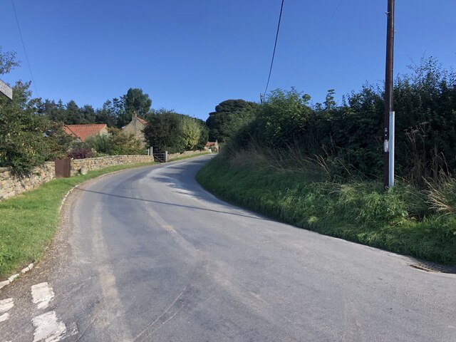
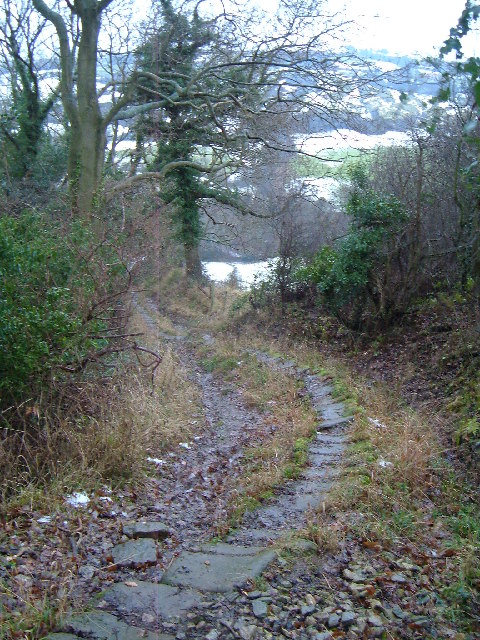
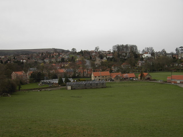
The valley is characterized by its lush green landscapes, dotted with charming villages and scattered farms. It is known for its unspoiled countryside, with winding country lanes and babbling brooks that add to its charm. The valley is also home to a variety of wildlife, including deer, rabbits, and a rich diversity of bird species.
One of the prominent features of Low Dale is the River Dale, which meanders through the valley, providing a scenic backdrop for leisurely walks and picnics. The river is a haven for fishing enthusiasts, attracting anglers from far and wide.
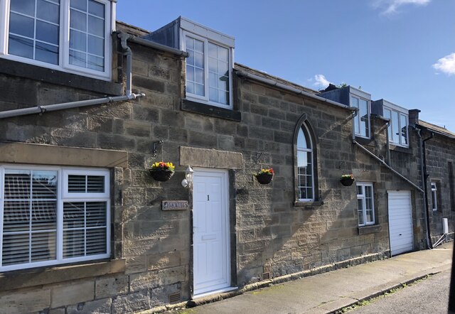
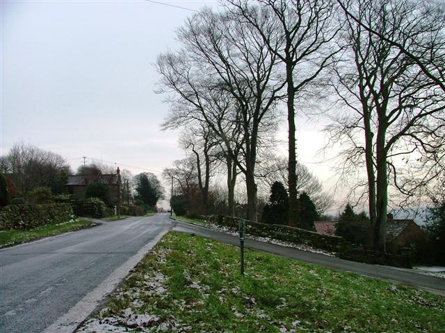
The villages in Low Dale exude a traditional charm, with their quaint stone cottages and picturesque village greens. The locals are known for their warm hospitality, and visitors can experience the true essence of rural Yorkshire life through the various local events and festivals that take place throughout the year.
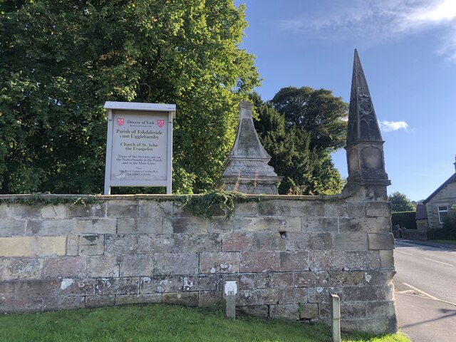
Low Dale is also home to a number of historic landmarks, including ancient churches and ruins, which offer glimpses into the region's rich history and heritage. The valley's scenic beauty, combined with its cultural and historical significance, make it a must-visit destination for those seeking an authentic Yorkshire experience.
If you have any feedback on the listing, please let us know in the comments section below.
Low Dale Images
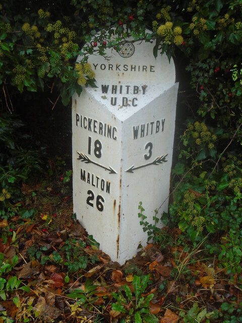
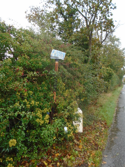
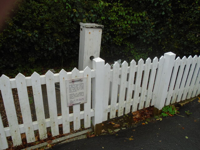
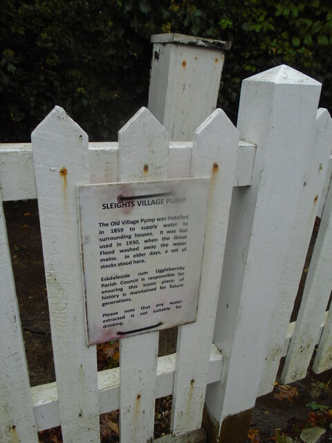
Images are sourced within 2km of 54.457483/-0.65843208 or Grid Reference NZ8707. Thanks to Geograph Open Source API. All images are credited.


Low Dale is located at Grid Ref: NZ8707 (Lat: 54.457483, Lng: -0.65843208)
Division: North Riding
Administrative County: North Yorkshire
District: Scarborough
Police Authority: North Yorkshire
What 3 Words
///diets.waltz.ferried. Near Sleights, North Yorkshire
Nearby Locations
Related Wikis
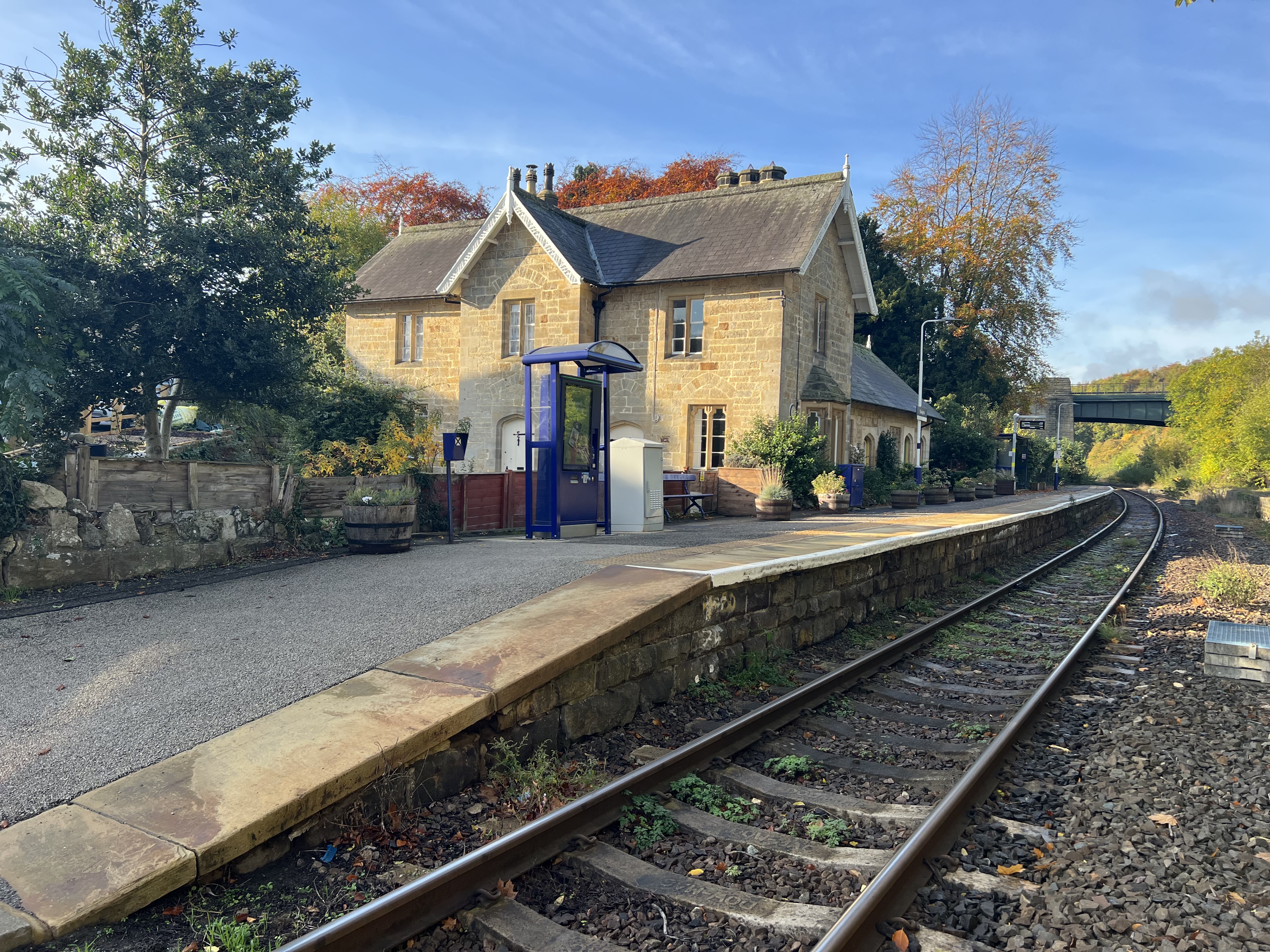
Sleights railway station
Sleights is a railway station on the Esk Valley Line, which runs between Middlesbrough and Whitby via Nunthorpe. The station, situated 2 miles 78 chains...

Briggswath
Briggswath is a village in the Scarborough district of North Yorkshire, England. the settlement is on the north bank of the River Esk, upstream of Ruswarp...
Sleights
Sleights is a village in North Yorkshire, England. Located in the Esk Valley in the postal region of Whitby, the village is part of the civil parish of...

Woodlands Hall
Woodlands Hall is a historic house in Aislaby, a village near Whitby in North Yorkshire, in England. The house was built for Henry Walker Yeoman in the...
Nearby Amenities
Located within 500m of 54.457483,-0.65843208Have you been to Low Dale?
Leave your review of Low Dale below (or comments, questions and feedback).