Maraiseader
Settlement in Inverness-shire
Scotland
Maraiseader
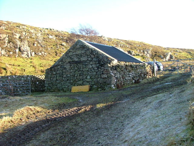
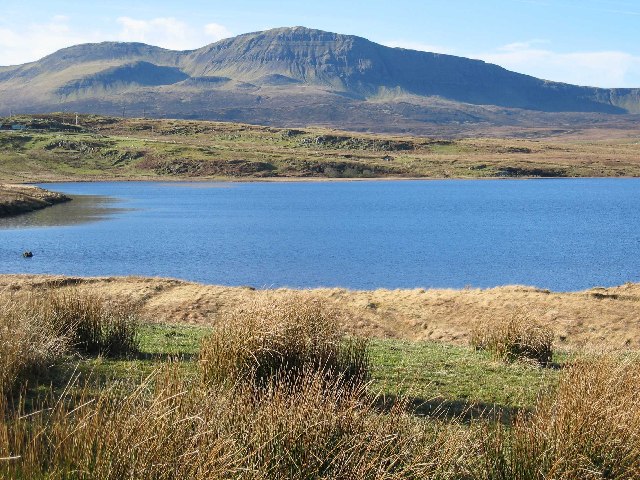
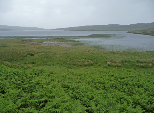
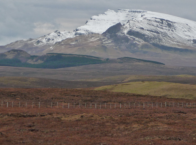
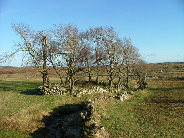
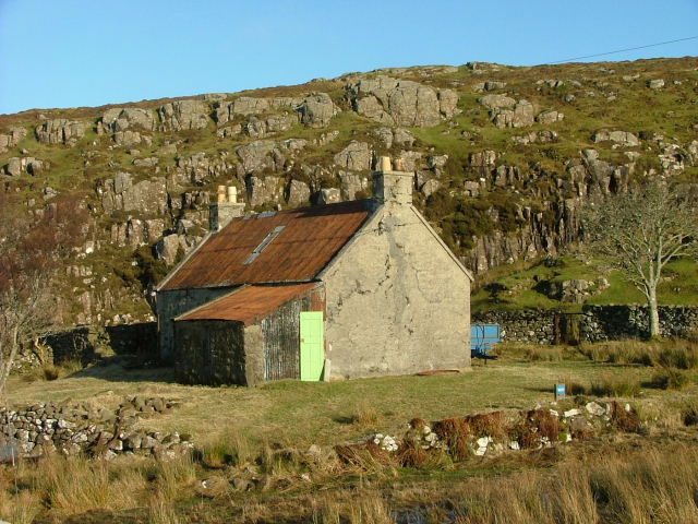
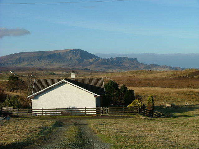
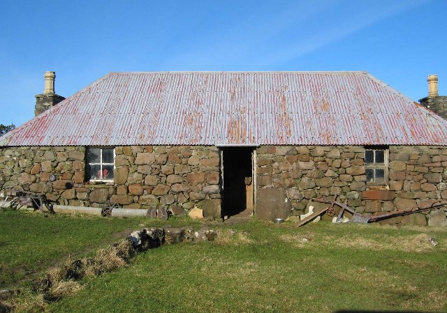
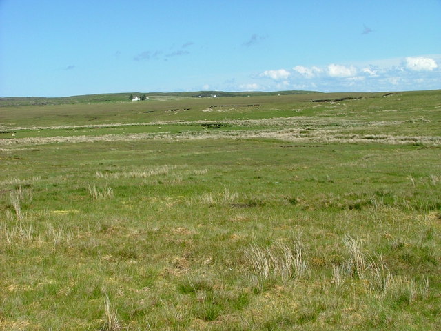
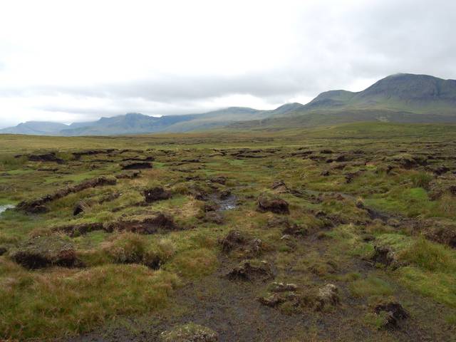
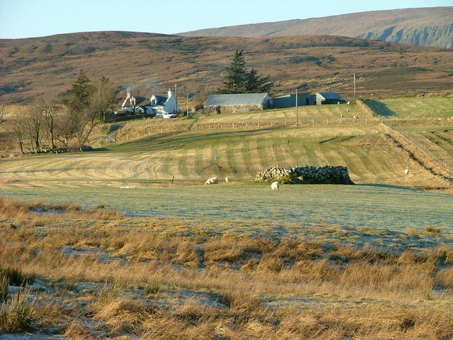
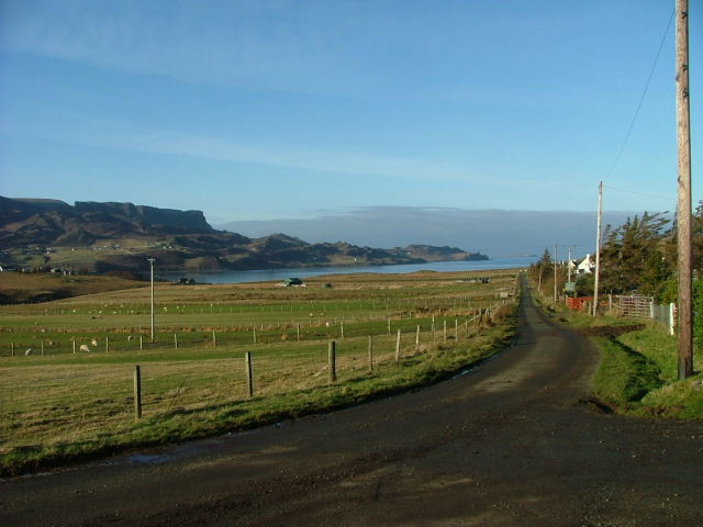
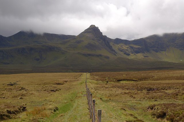
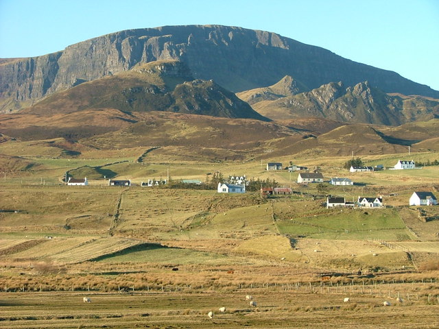
Maraiseader is a small village located in the county of Inverness-shire, in the Scottish Highlands. Situated amidst breathtaking natural beauty, this picturesque settlement is surrounded by rolling hills, lush green valleys, and crystal-clear lochs. It is nestled along the banks of the River Spey, which adds to the charm of the area.
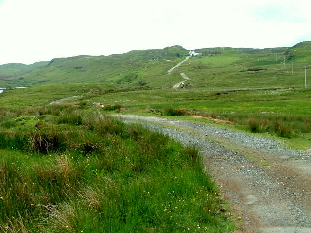
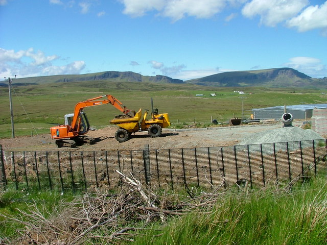
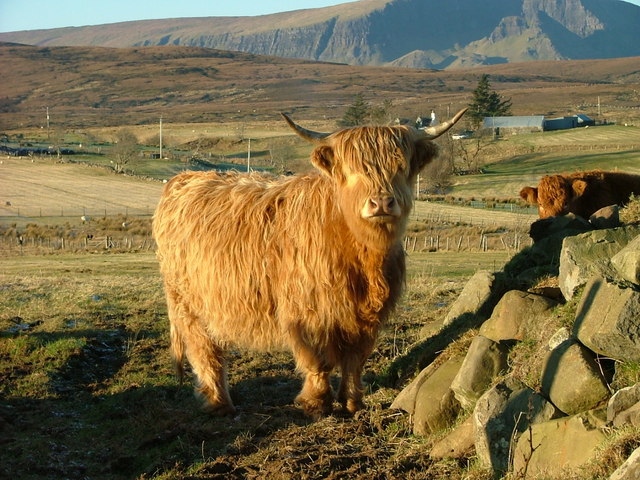
With a population of around 300 residents, Maraiseader exudes a tranquil atmosphere and offers a peaceful retreat for visitors seeking solace in nature. The village is known for its stunning landscapes, making it a popular destination for outdoor enthusiasts. Hiking and mountain biking trails are abundant, showcasing the region's diverse flora and fauna.
Maraiseader is also renowned for its fishing opportunities, particularly trout and salmon fishing in the nearby river and lochs. Anglers from far and wide flock to the area in pursuit of their catch, making it a haven for fishing enthusiasts.
Though small, Maraiseader boasts a strong sense of community, with a village hall serving as a hub for social gatherings and events. The local primary school provides education for the village's children, fostering a close-knit community spirit.
While Maraiseader may not offer a wide range of amenities, its proximity to larger towns, such as Aviemore and Inverness, ensures that essential services and amenities are easily accessible. Visitors to Maraiseader can enjoy a peaceful getaway while still having the convenience of nearby amenities.
Overall, Maraiseader is a hidden gem in the Scottish Highlands, offering visitors a chance to immerse themselves in nature's beauty and experience the warmth of a close community.
If you have any feedback on the listing, please let us know in the comments section below.
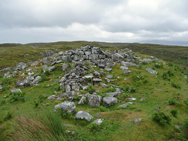
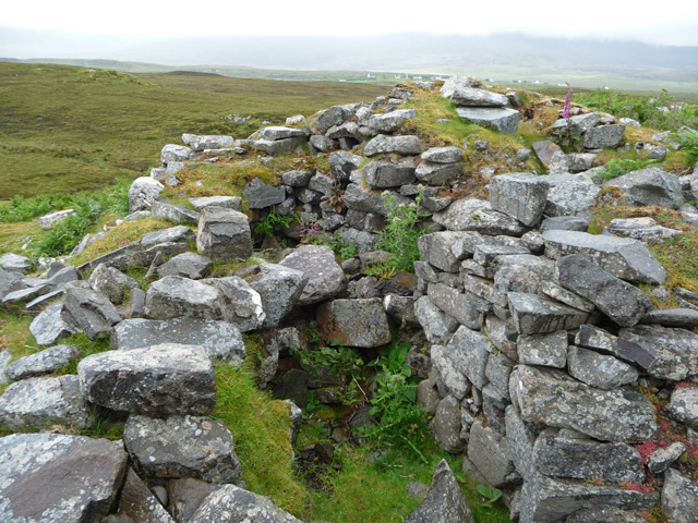
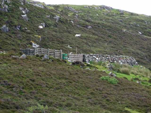
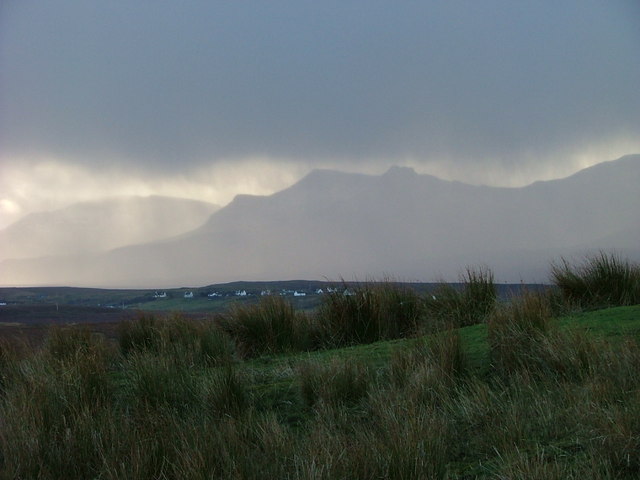
Maraiseader Images
Images are sourced within 2km of 57.592948/-6.200515 or Grid Reference NG4963. Thanks to Geograph Open Source API. All images are credited.
Maraiseader is located at Grid Ref: NG4963 (Lat: 57.592948, Lng: -6.200515)
Unitary Authority: Highland
Police Authority: Highlands and Islands
Also known as: Marishader
What 3 Words
///factor.snippets.sweetly. Near Uig, Highland
Nearby Locations
Related Wikis

Loch Mealt
Loch Mealt is an inland fresh-water loch on the Isle of Skye in Scotland. It lies close to Ellishadder and south of Staffin, on the eastern side of the...

Ellishadder
Ellishadder (Scottish Gaelic: Ealaiseadar) is a crofting township, situated close to the north shore of the freshwater Loch Mealt, on the Trotternish peninsula...

Lealt, Skye
Lealt (Scottish Gaelic: An Leathallt) is a crofting township, on the western coastline of the Sound of Raasay on the Trotternish peninsula of Skye, in...

Staffin
Staffin (Scottish Gaelic: Stafain) is a district with the Gaelic name An Taobh Sear, which translates as "the East Side", on the northeast coast of the...
Garafad
Garafad or Garafad, (Scottish Gaelic: An Garradh Fada) is a linear crofting settlement on the east coast of the Trotternish Peninsula of Skye in the...
Sgùrr a' Mhadaidh Ruaidh
Sgùrr a' Mhadaidh Ruaidh (Gaelic for: Peak of the red fox) is a summit in the Trotternish range of hills in the north of the Isle of Skye, Scotland. It...

Staffin Island
Staffin Island (possibly also known as Stenscholl Island) is an uninhabited islet off the east coast of the Trotternish peninsula of Skye in Scotland....
Brogaig
Brogaig (Scottish Gaelic: Brògaig), Norse for Burgh Bay, is a small coastal village, on the northwest coast of the Trotternish peninsula, close to Staffin...
Nearby Amenities
Located within 500m of 57.592948,-6.200515Have you been to Maraiseader?
Leave your review of Maraiseader below (or comments, questions and feedback).