Marishader
Settlement in Inverness-shire
Scotland
Marishader
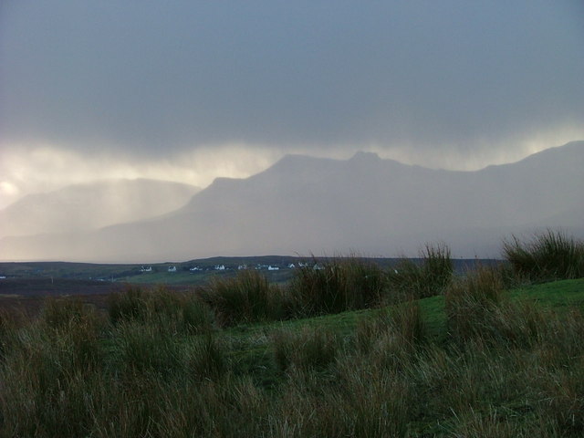
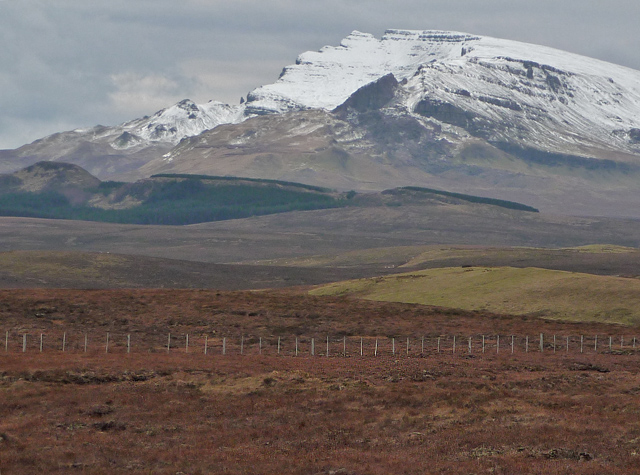
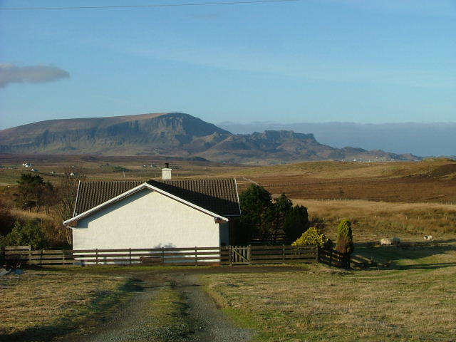
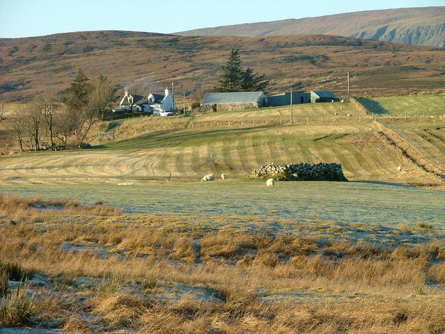
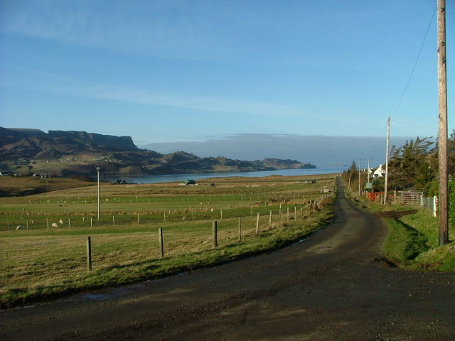
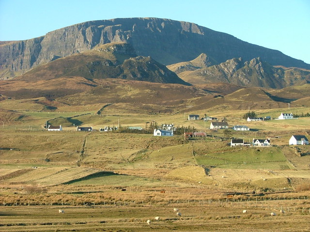
Marishader is a small village located in the county of Inverness-shire, Scotland. Situated on the west coast of the Scottish Highlands, Marishader is nestled between the towns of Ullapool and Gairloch, offering breathtaking views of the surrounding rugged landscape and the nearby Loch Kanaird.
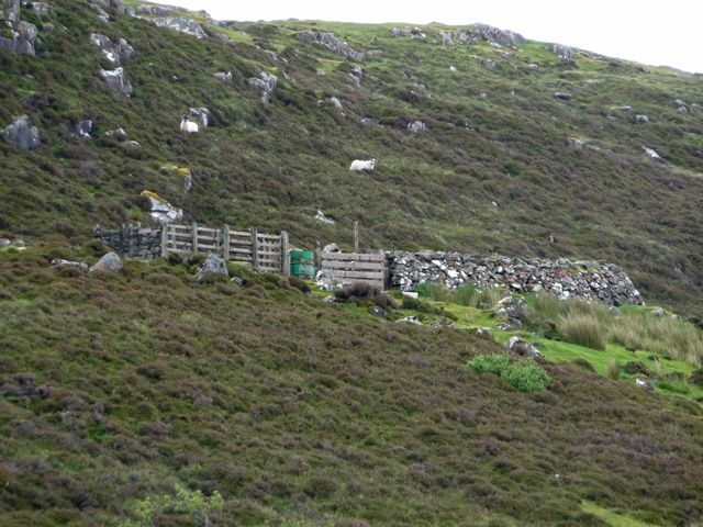
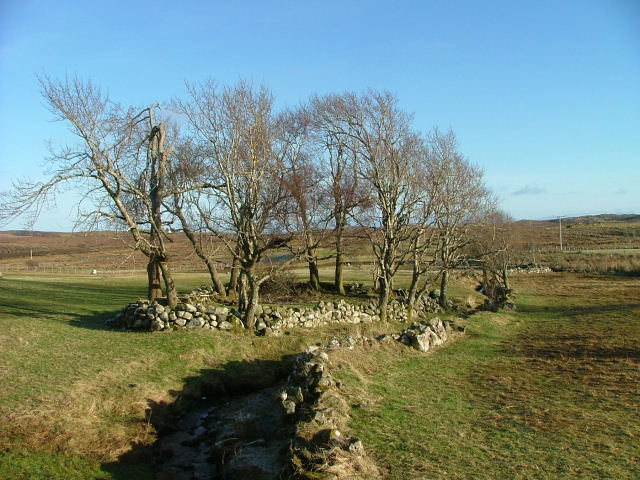
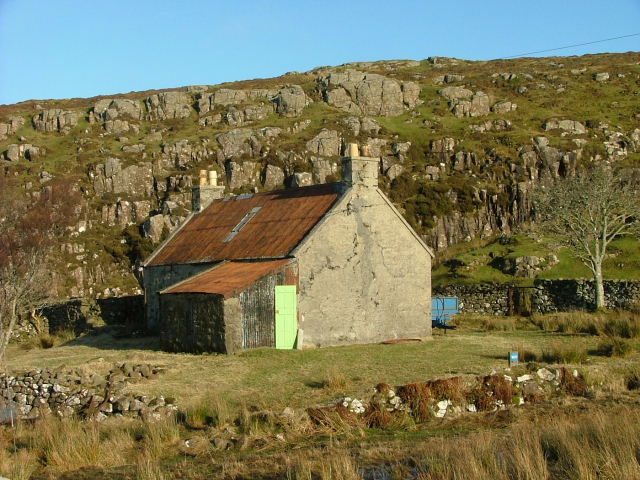
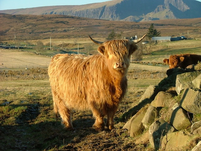
The village is characterized by its quaint charm and remote location, making it a popular destination for tourists seeking a peaceful retreat in the heart of nature. Marishader is surrounded by vast stretches of unspoiled countryside, with rolling hills, vast moorlands, and picturesque lochs, making it ideal for outdoor activities such as hiking, fishing, and birdwatching.
Despite its secluded setting, Marishader is within easy reach of amenities and services. The nearby town of Ullapool, located approximately 12 miles away, provides a range of shops, restaurants, and accommodations. Additionally, the village is well-connected by road, with the A835 passing through Ullapool, providing access to other parts of Inverness-shire and beyond.
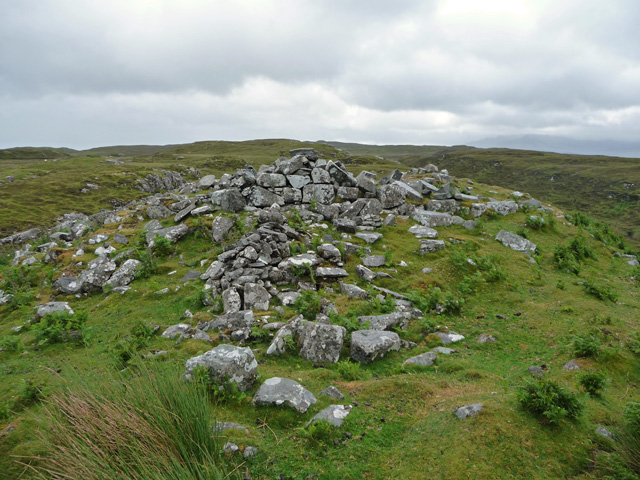
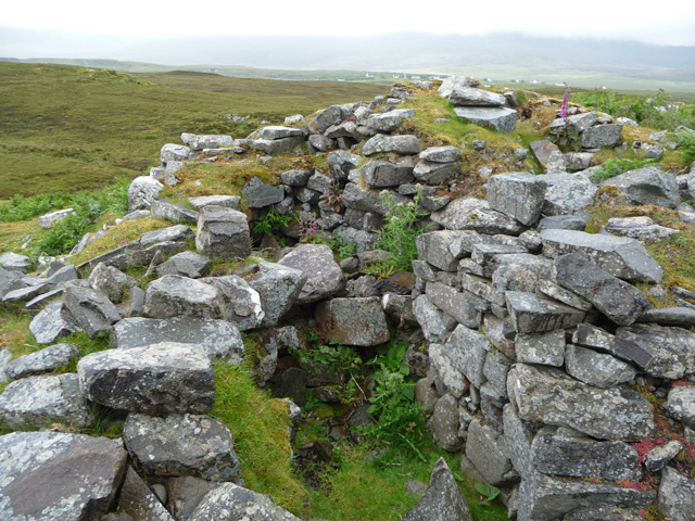
Marishader is also known for its rich history and cultural heritage. The area is dotted with ancient archaeological sites, including standing stones and chambered cairns, which offer a glimpse into the region's prehistoric past. Additionally, the village boasts a strong Gaelic heritage, with many locals still speaking the language and fostering traditional customs and music.
In summary, Marishader is a picturesque village in Inverness-shire, Scotland, offering stunning natural beauty, outdoor activities, and a rich cultural heritage. It is a haven for those seeking a tranquil escape in the heart of the Scottish Highlands.
If you have any feedback on the listing, please let us know in the comments section below.
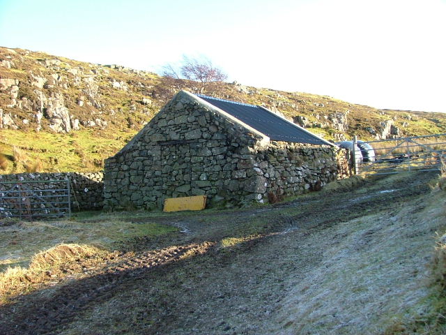
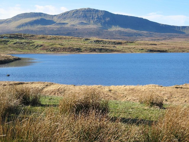
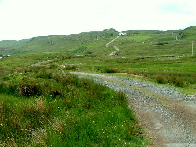
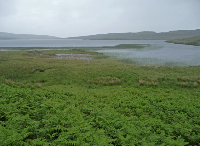
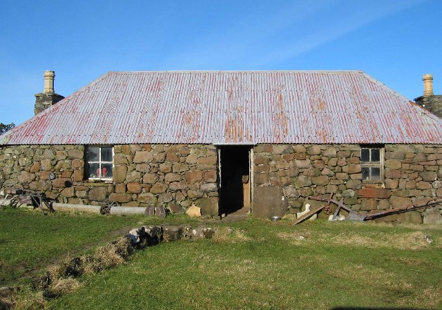
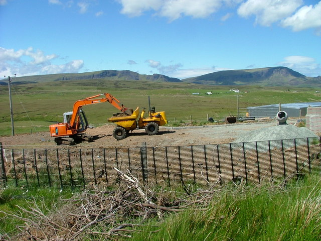
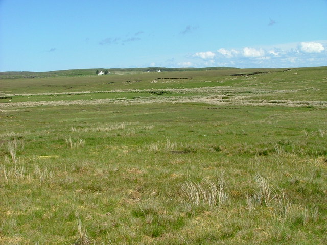
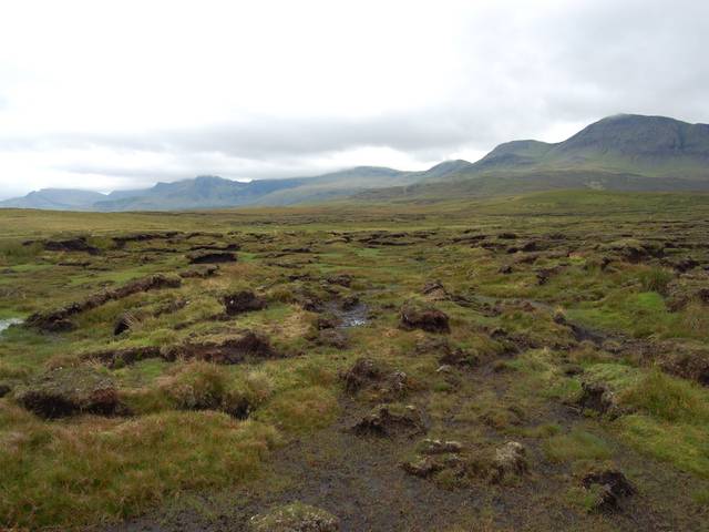
Marishader Images
Images are sourced within 2km of 57.592948/-6.200515 or Grid Reference NG4963. Thanks to Geograph Open Source API. All images are credited.
Marishader is located at Grid Ref: NG4963 (Lat: 57.592948, Lng: -6.200515)
Unitary Authority: Highland
Police Authority: Highlands and Islands
Also known as: Maraiseader
What 3 Words
///factor.snippets.sweetly. Near Uig, Highland
Nearby Locations
Related Wikis

Loch Mealt
Loch Mealt is an inland fresh-water loch on the Isle of Skye in Scotland. It lies close to Ellishadder and south of Staffin, on the eastern side of the...

Ellishadder
Ellishadder (Scottish Gaelic: Ealaiseadar) is a crofting township, situated close to the north shore of the freshwater Loch Mealt, on the Trotternish peninsula...

Lealt, Skye
Lealt (Scottish Gaelic: An Leathallt) is a crofting township, on the western coastline of the Sound of Raasay on the Trotternish peninsula of Skye, in...

Staffin
Staffin (Scottish Gaelic: Stafain) is a district with the Gaelic name An Taobh Sear, which translates as "the East Side", on the northeast coast of the...
Garafad
Garafad or Garafad, (Scottish Gaelic: An Garradh Fada) is a linear crofting settlement on the east coast of the Trotternish Peninsula of Skye in the...
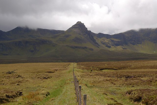
Sgùrr a' Mhadaidh Ruaidh
Sgùrr a' Mhadaidh Ruaidh (Gaelic for: Peak of the red fox) is a summit in the Trotternish range of hills in the north of the Isle of Skye, Scotland. It...

Staffin Island
Staffin Island (possibly also known as Stenscholl Island) is an uninhabited islet off the east coast of the Trotternish peninsula of Skye in Scotland....
Brogaig
Brogaig (Scottish Gaelic: Brògaig), Norse for Burgh Bay, is a small coastal village, on the northwest coast of the Trotternish peninsula, close to Staffin...
Nearby Amenities
Located within 500m of 57.592948,-6.200515Have you been to Marishader?
Leave your review of Marishader below (or comments, questions and feedback).