Horris Hill

Settlement in Hampshire Basingstoke and Deane

England

Horris Hill

Ye Olde Swan Inn This pub is situated below the Church in this square, at the intersection. This picture was taken looking south.
Ye Olde Swan Inn Credit: Pam Brophy

Horris Hill is a small village located in the county of Hampshire, England. Situated approximately 6 miles north of the town of Newbury, it is nestled in a picturesque rural setting. The village is primarily known for its prestigious preparatory school, also called Horris Hill, which has a long-standing reputation for academic excellence and sporting achievements.

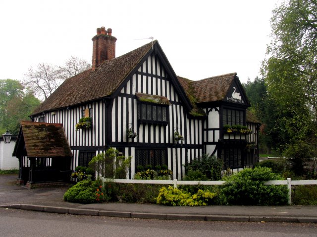
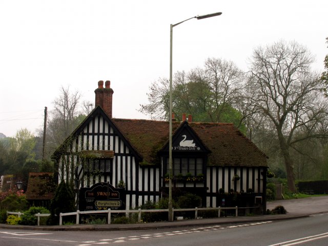
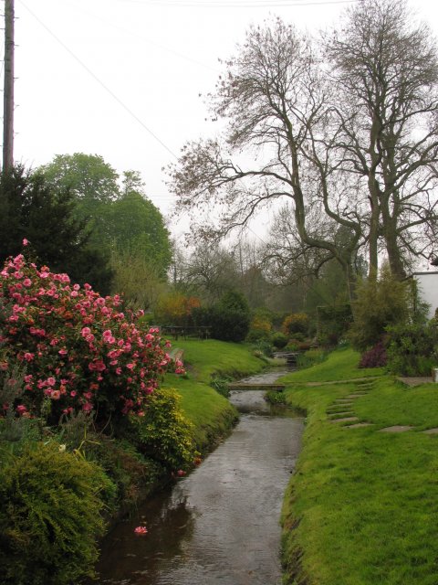
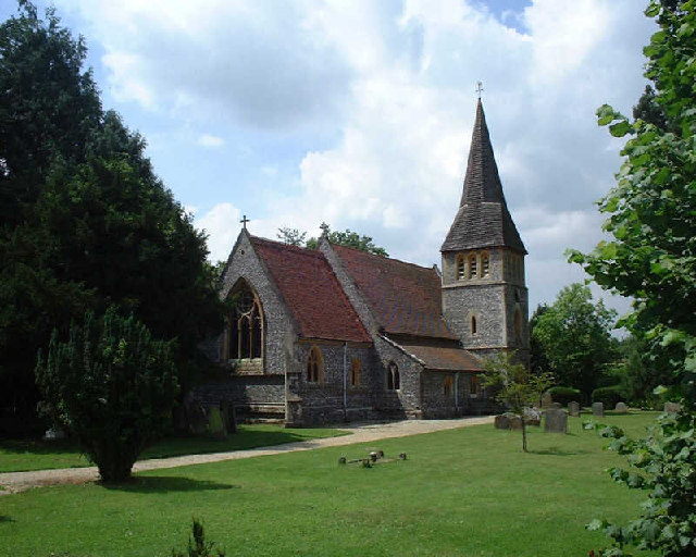
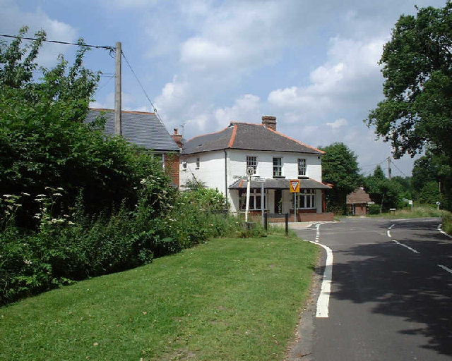
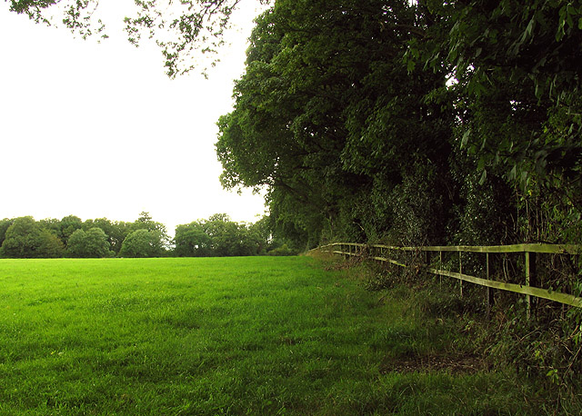
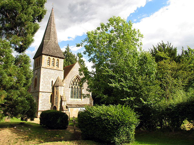
The village itself is a quaint and charming community, with a population of around 300 residents. It features a scattering of traditional cottages and houses, surrounded by lush green fields and rolling countryside. The village church, St. Michael and All Angels, stands as a prominent landmark, with its distinctive architecture and historical significance.

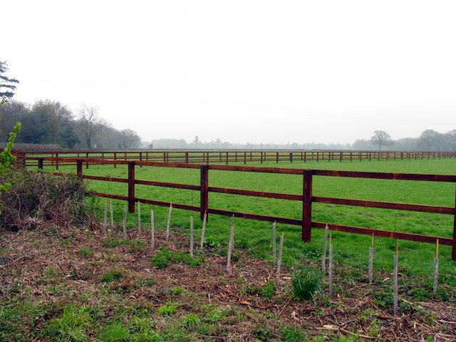
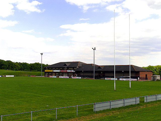
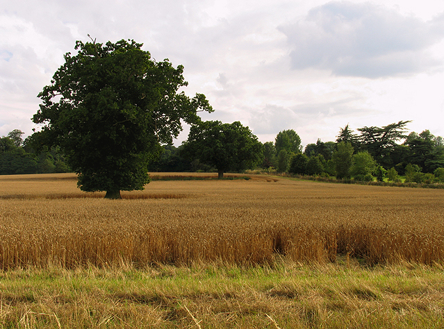
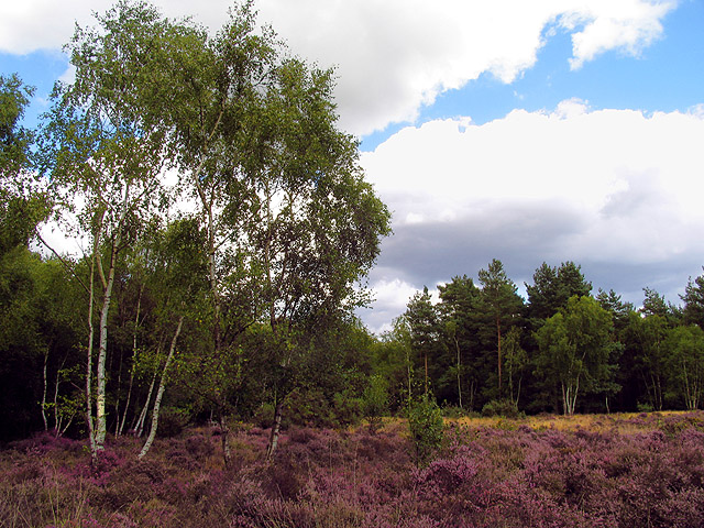
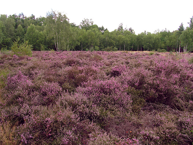
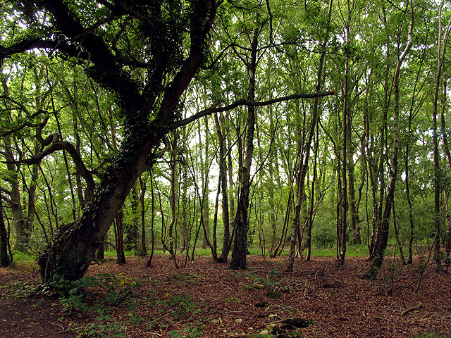
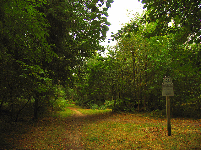
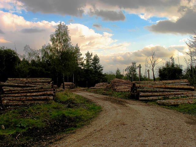
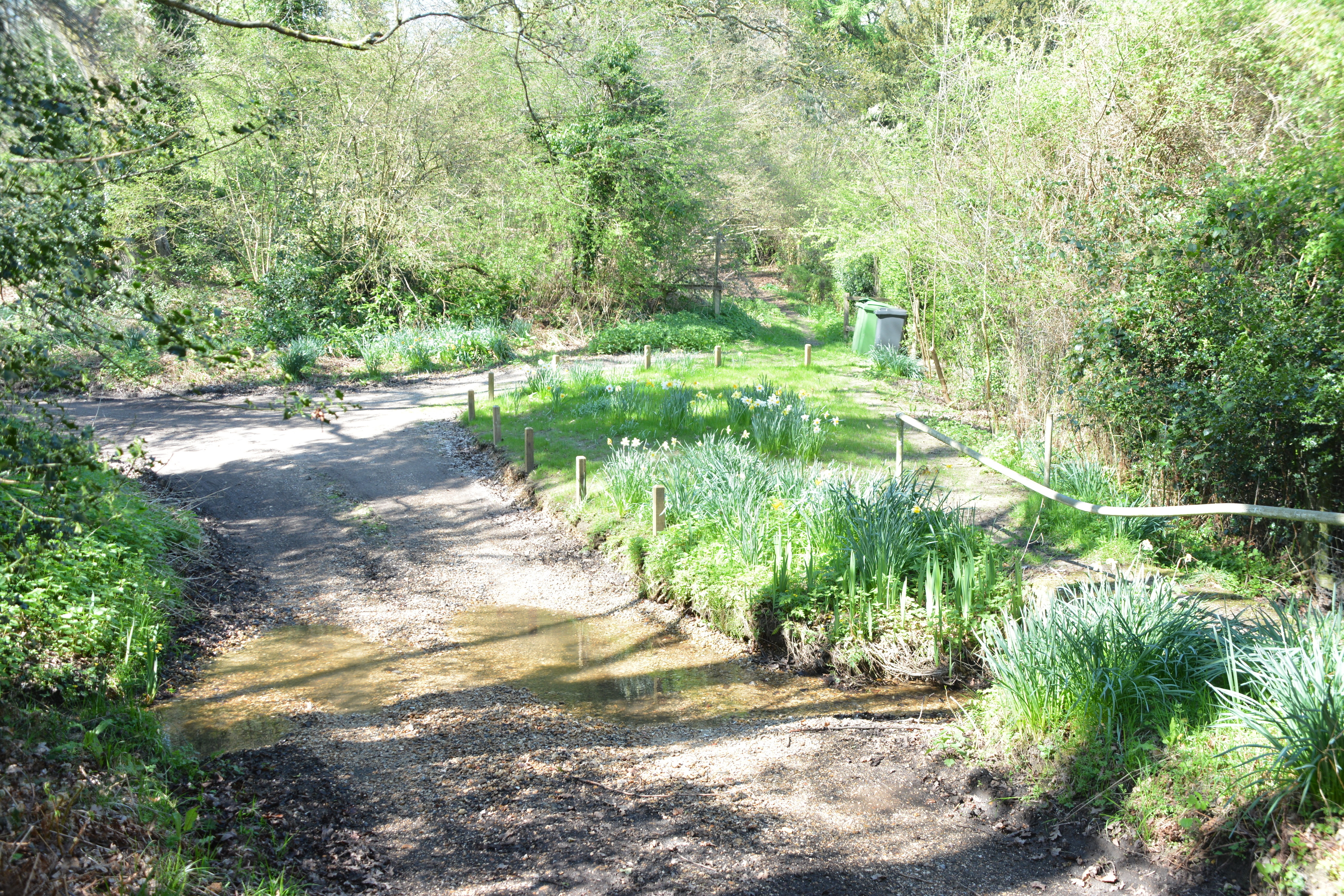
For those seeking outdoor activities, Horris Hill offers a range of opportunities. The surrounding countryside provides ample space for walking, cycling, and horse riding, with numerous scenic trails and bridleways to explore. The nearby North Wessex Downs, designated as an Area of Outstanding Natural Beauty, further enhances the village's appeal to nature enthusiasts.

Although small in size, Horris Hill benefits from its proximity to larger towns and cities. The bustling market town of Newbury is a short distance away, offering a wider range of amenities, shopping centers, and leisure facilities. Additionally, for those looking for cultural and historical attractions, the city of Winchester is within easy reach, with its magnificent cathedral and fascinating museums.

Overall, Horris Hill, Hampshire presents a unique blend of rural tranquility, educational excellence, and convenient access to nearby urban centers, making it an attractive place to live or visit.

If you have any feedback on the listing, please let us know in the comments section below.

Horris Hill Images

Images are sourced within 2km of 51.363371/-1.3354031 or Grid Reference SU4662. Thanks to Geograph Open Source API. All images are credited.

Ye Olde Swan Inn This pub is situated below the Church in this square, at the intersection. This picture was taken looking south.
Ye Olde Swan Inn
This pub is situated below the Church in this square, at the intersection. This picture was taken looking south.
Lairage: Burghclere I am told this is where horses are sometimes held while waiting to be transported. This is situated at the interchange of the A34 and the B4640 from Newtown. The picture was taken looking north and east.
Lairage: Burghclere
I am told this is where horses are sometimes held while waiting to be transported. This is situated at the interchange of the A34 and the B4640 from Newtown. The picture was taken looking north and east.
Ye Olde Swan Inn The pub lies in the extreme north of the square, in the eastern quadrant. As one comes down from the grid north of this one and as one passes over the riverbridge, the pub is in view between the B4640 and the junction with the road to Burgchlere, before it forks.
Ye Olde Swan Inn
The pub lies in the extreme north of the square, in the eastern quadrant. As one comes down from the grid north of this one and as one passes over the riverbridge, the pub is in view between the B4640 and the junction with the road to Burgchlere, before it forks.
The Stream alongside Ye Olde Swan Inn This stream runs diagonally through the square from  NE-SW and is on the eastern side of the pub, between the pub and the road into Newtown.
The Stream alongside Ye Olde Swan Inn
This stream runs diagonally through the square from NE-SW and is on the eastern side of the pub, between the pub and the road into Newtown.
Newbury Rugby Football Club The rugby field, clubhouse and stand are situated in the northern half of the grid square. This picture was taken looking more or less south east.
Newbury Rugby Football Club
The rugby field, clubhouse and stand are situated in the northern half of the grid square. This picture was taken looking more or less south east.
Newtown Church Newtown Church
Newtown Church
Newtown Church
Junction of Well Street and Harts Lane, Burghclere Junction of Well Street and Harts Lane, Burghclere
Junction of Well Street and Harts Lane, Burghclere
Farmland in Newtown This field is in the eastern half of the square between the edge of the square and Newtown house.
Farmland in Newtown
This field is in the eastern half of the square between the edge of the square and Newtown house.
Heather field: Newtown A surprise heather field in wooded area (mostly birch) near Newtown Grange and Newtown. This field is in the north western section of the square. The picture was taken from the footpath.
Heather field: Newtown
A surprise heather field in wooded area (mostly birch) near Newtown Grange and Newtown. This field is in the north western section of the square. The picture was taken from the footpath.
Heather near Newtown This heather field is alongside woodland in the north western section of the square. The square is mostly woodland or plantation with isolated detached residences spread across the square, mostly off the minor road and Sheepwash Lane.
Heather near Newtown
This heather field is alongside woodland in the north western section of the square. The square is mostly woodland or plantation with isolated detached residences spread across the square, mostly off the minor road and Sheepwash Lane.
Paddock near Newtown This paddock in the south eastern section of the square belongs to a stud farm in the area. This square is mostly farmland with some detached residences along the lanes.
Paddock near Newtown
This paddock in the south eastern section of the square belongs to a stud farm in the area. This square is mostly farmland with some detached residences along the lanes.
Woodland near Newtown This square is mostly woodland and farmland, with some detached residences spread across the square. There is also a school down one of the private roads in the square. This woodland is in the eastern section of the square.
Woodland near Newtown
This square is mostly woodland and farmland, with some detached residences spread across the square. There is also a school down one of the private roads in the square. This woodland is in the eastern section of the square.
Diocese of Winchester: Newtown Church This church is south west of the village, in the north eastern section of the square.
Diocese of Winchester: Newtown Church
This church is south west of the village, in the north eastern section of the square.
Tot Hill Services Looking NW
Tot Hill Services
Looking NW
Wash Water Road near Enborne This is a view of the end of Wash Water road and the public house marked ph on the 1:50 000 map. The pub is on the north side of the road. The road joins the A343 to the right (east) of the pub and leads off the A343 to Enborne. This square contains some of the residential area of Wash Common and the key roads linking Enborne and Wash Water.
Wash Water Road near Enborne
This is a view of the end of Wash Water road and the public house marked ph on the 1:50 000 map. The pub is on the north side of the road. The road joins the A343 to the right (east) of the pub and leads off the A343 to Enborne. This square contains some of the residential area of Wash Common and the key roads linking Enborne and Wash Water.
A34(T) Bridge near Newtown This square is largely farmland and plantations belonging to the English Forestry commission. This bridge carries the A34(T) over one of the lanes passing through the forested area.
A34(T) Bridge near Newtown
This square is largely farmland and plantations belonging to the English Forestry commission. This bridge carries the A34(T) over one of the lanes passing through the forested area.
The Chase: National Trust The Chase is managed by the National Trust and is in the southern half of the square.
The Chase: National Trust
The Chase is managed by the National Trust and is in the southern half of the square.
Brown Hill Plantation near Newtown This square is mostly plantation and woodland managed by the English Forestry Commission. This view is near the centre of the square and was taken in the late afternoon/early evening.
Brown Hill Plantation near Newtown
This square is mostly plantation and woodland managed by the English Forestry Commission. This view is near the centre of the square and was taken in the late afternoon/early evening.
Show me another place!

Horris Hill is located at Grid Ref: SU4662 (Lat: 51.363371, Lng: -1.3354031)

Administrative County: Hampshire

District: Basingstoke and Deane

Police Authority: Hampshire

What 3 Words

///angle.texted.thickened. Near Greenham, Berkshire

Related Wikis

Horris Hill School

Horris Hill, is an independent day and boarding preparatory school for boys aged 4–13. It is located in Berkshire in England, south of Newbury in West...

Newtown Common

Newtown Common is a village in the Basingstoke and Deane district of Hampshire, England. Its nearest town is Newbury, which lies approximately 2.5 miles...

Herbert Plantation

Herbert Plantation is a 25.6-hectare (63-acre) Local Nature Reserve north of Burghclere in Hampshire. It is owned by Hampshire County Council and managed...

Wash Common

Wash Common is a small suburb to the south of Newbury. It is built on the former Newbury Wash, which was flat open heathland overlooking Newbury, and until...

Newtown, Hampshire

Newtown is a village and civil parish in the English county of Hampshire, about 1+1⁄2 miles (2.4 km) south of Newbury, Berkshire. == History == In the...

Wash Water

Wash Water is a hamlet on the border of Berkshire, and Hampshire. It is divided between the civil parishes of Enborne (where according to Grid Refs the...

Clere School

The Clere School is a small co-educational community secondary school in Burghclere. Although its postcode locates to Reading via Newbury, it is in Hampshire...

Park House School

Park House School is a secondary school in Newbury, Berkshire in the United Kingdom. It accepts students aged 11–18 and currently has approximately 1,300...

Related Videos

MINI ADVENTURES| WOODLAND WALKS

Just to add another dimension to the channel I am creating mini adventures. Over Lockdown 3.0 I have got into ...

Making the Hampshire countryside more accessible | Hidden Walks of Hampshire #4

In this episode of Hidden Walks of Hampshire, Gemma is joined by Marian from the Ecchinswell Parish Council as they explore a ...

Beacon Hill, Tot Hill and Ladle Hill, Part Two

Coming down off Beacon Hill I head off to Ladle Hill to have a look at more antiquities in the area plus explore some medieval and ...

Nearby Amenities

Located within 500m of 51.363371,-1.3354031
Bus Stop
Sheepwash
Naptan AtcoCode: 1900HA010107
Naptan Bearing: S
Naptan CommonName: Sheepwash
Naptan Crossing: Sheepwash Lane
Naptan NaptanCode: hamdgatm
Naptan Street: B4640
Naptan Verified: no
Source: naptan_import
Lat/Long: 51.3613516/-1.3289707
Bus Stop
Sheepwash
Naptan AtcoCode: 1900HA010108
Naptan Bearing: N
Naptan CommonName: Sheepwash
Naptan Crossing: Sheepwash Lane
Naptan NaptanCode: hamdgatg
Naptan Street: B4640
Naptan Verified: no
Source: naptan_import
Lat/Long: 51.3613612/-1.3290855
Cherry Tree Farm
Place: farm
Lat/Long: 51.3666661/-1.335428
Horris Farm
Place: farm
Lat/Long: 51.3665724/-1.3360931
Barrier: stile
Lat/Long: 51.3664394/-1.3348353
Barrier: stile
Lat/Long: 51.3667509/-1.3335747
Barrier: stile
Lat/Long: 51.3670992/-1.3320887
Power: pole
Lat/Long: 51.361194/-1.3401843
Power: pole
Lat/Long: 51.3603081/-1.3373096
Power: pole
Lat/Long: 51.3606218/-1.338908
The data included in this document is from www.openstreetmap.org. The data is made available under ODbL.

Have you been to Horris Hill?

Leave your review of Horris Hill below (or comments, questions and feedback).