Deadman's Bottom
Valley in Hampshire Basingstoke and Deane
England
Deadman's Bottom
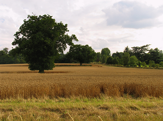
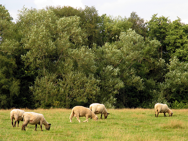
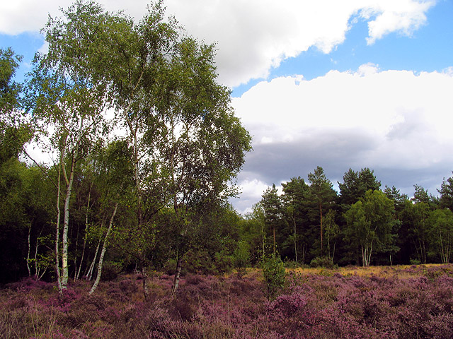
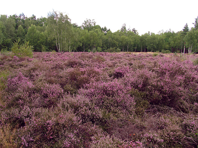
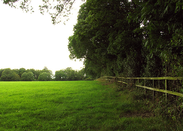
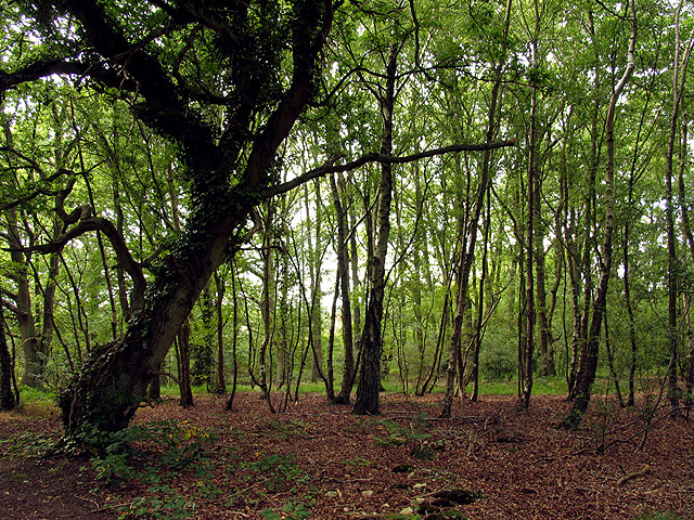
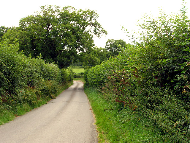
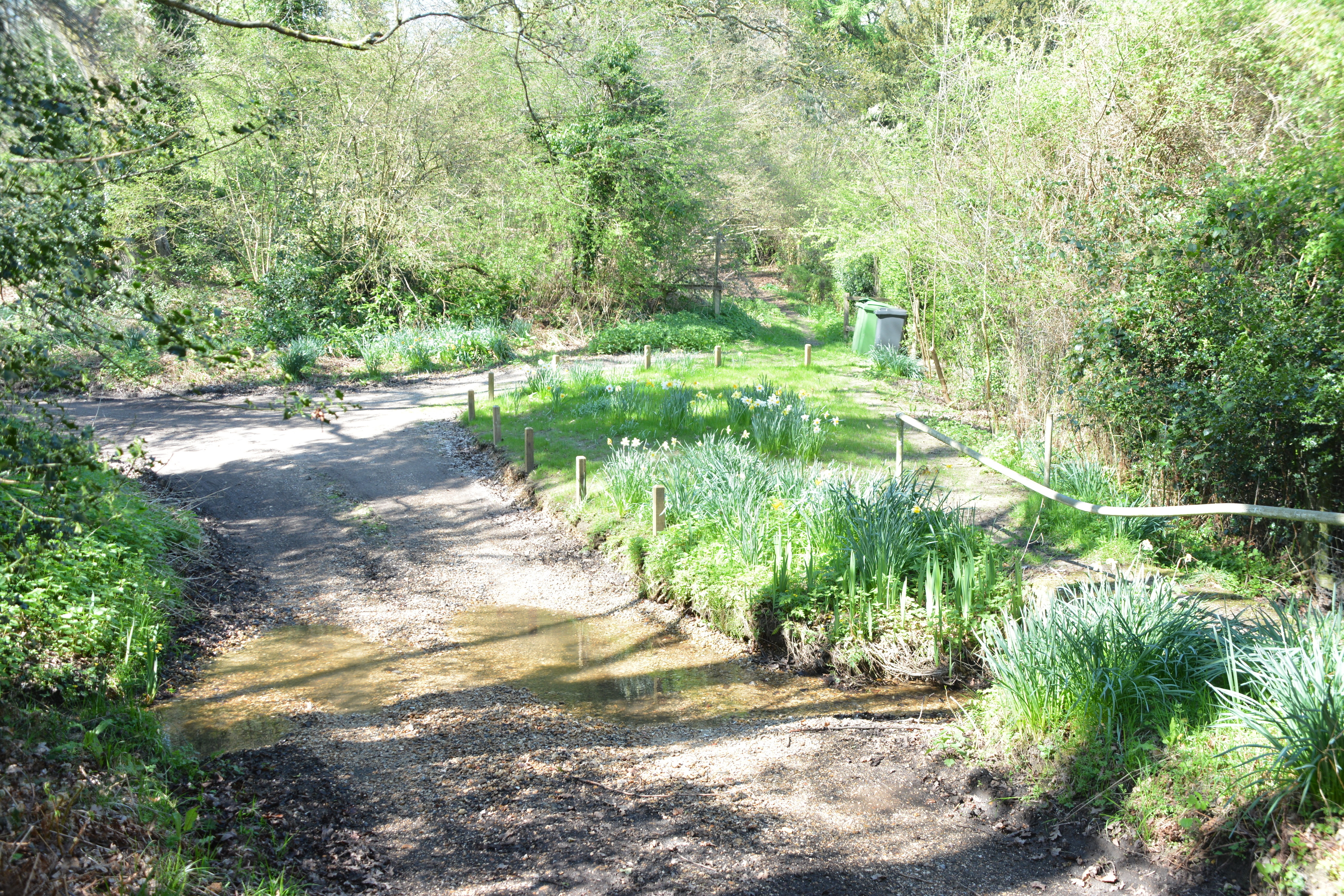
Deadman's Bottom, located in Hampshire, England, is a picturesque valley nestled in the heart of the South Downs National Park. This tranquil and scenic area is known for its natural beauty and rich historical significance. Surrounded by rolling hills, lush greenery, and meandering streams, Deadman's Bottom offers a peaceful retreat for nature enthusiasts and history buffs alike.
The name "Deadman's Bottom" is thought to derive from its association with a local legend. According to folklore, the valley was once a popular hiding spot for smugglers, and it is rumored that the remains of a deceased smuggler were found in the area. This eerie tale has contributed to the valley's unique and intriguing reputation.
The valley is home to a diverse range of flora and fauna, making it a haven for wildlife lovers and birdwatchers. Visitors can spot various species of birds, butterflies, and wildflowers as they explore the numerous walking trails that meander through the valley.
In addition to its natural beauty, Deadman's Bottom boasts a fascinating history. The area has evidence of prehistoric settlements, including ancient burial mounds and earthworks. Furthermore, remnants of Roman roads and medieval settlements can be found, showcasing the valley's rich historical past.
With its idyllic setting and historical significance, Deadman's Bottom offers visitors a chance to immerse themselves in nature while uncovering the secrets of the past. Whether one seeks a peaceful hike through beautiful landscapes or an exploration of ancient history, Deadman's Bottom provides a memorable experience for all who venture into its enchanting embrace.
If you have any feedback on the listing, please let us know in the comments section below.
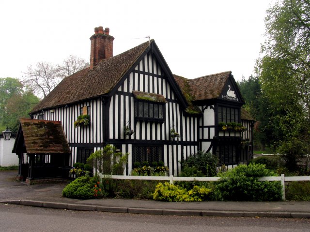
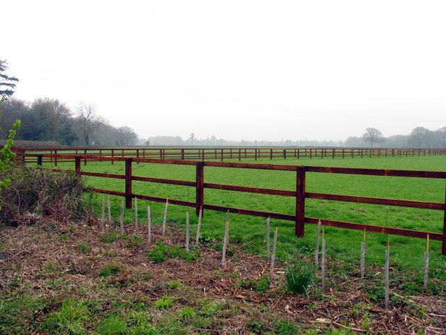
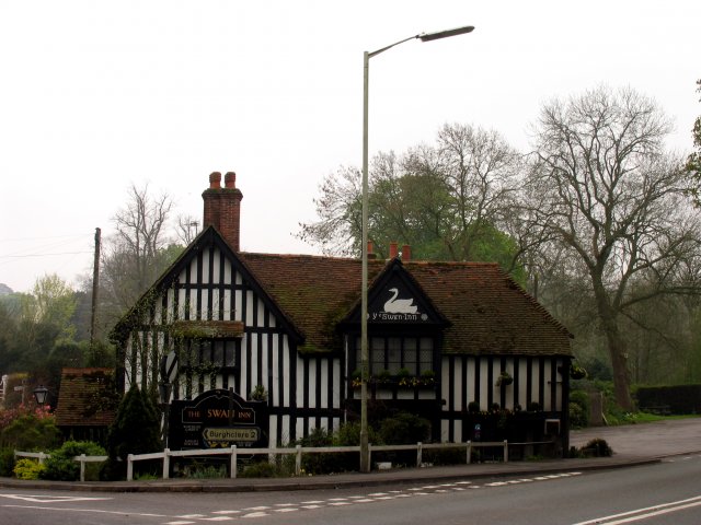
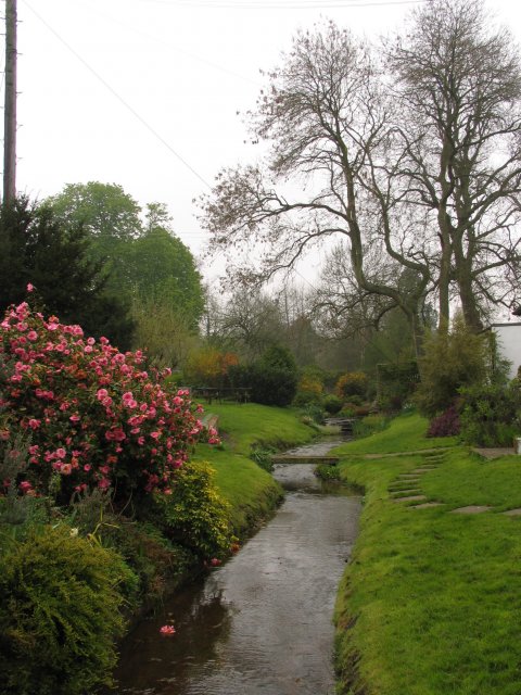
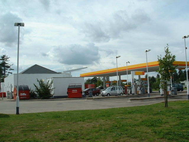
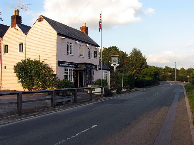
Deadman's Bottom Images
Images are sourced within 2km of 51.357351/-1.3330918 or Grid Reference SU4662. Thanks to Geograph Open Source API. All images are credited.
Deadman's Bottom is located at Grid Ref: SU4662 (Lat: 51.357351, Lng: -1.3330918)
Administrative County: Hampshire
District: Basingstoke and Deane
Police Authority: Hampshire
What 3 Words
///spotty.pounce.takeovers. Near Greenham, Berkshire
Nearby Locations
Related Wikis

Horris Hill School
Horris Hill, is an independent day and boarding preparatory school for boys aged 4–13. It is located in Berkshire in England, south of Newbury in West...
Herbert Plantation
Herbert Plantation is a 25.6-hectare (63-acre) Local Nature Reserve north of Burghclere in Hampshire. It is owned by Hampshire County Council and managed...

Newtown Common
Newtown Common is a village in the Basingstoke and Deane district of Hampshire, England. Its nearest town is Newbury, which lies approximately 2.5 miles...
Clere School
The Clere School is a small co-educational community secondary school in Burghclere. Although its postcode locates to Reading via Newbury, it is in Hampshire...

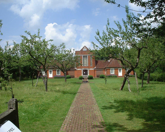
Sandham Memorial Chapel
Sandham Memorial Chapel is in the village of Burghclere, Hampshire, England. It is a Grade I listed, 1920s decorated chapel, designed by Lionel Godfrey...

Highclere railway station
Highclere railway station was a station on the Didcot, Newbury and Southampton Railway in England. It shares the name of the nearby village of Highclere...
Penwood
Penwood is a village in the civil parish of Highclere in the Basingstoke and Deane district of Hampshire, England. Its nearest town is Newbury, which lies...

Newtown, Hampshire
Newtown is a village and civil parish in the English county of Hampshire, about 1+1⁄2 miles (2.4 km) south of Newbury, Berkshire. == History == In the...
Nearby Amenities
Located within 500m of 51.357351,-1.3330918Have you been to Deadman's Bottom?
Leave your review of Deadman's Bottom below (or comments, questions and feedback).