Horse Close
Settlement in Yorkshire Craven
England
Horse Close
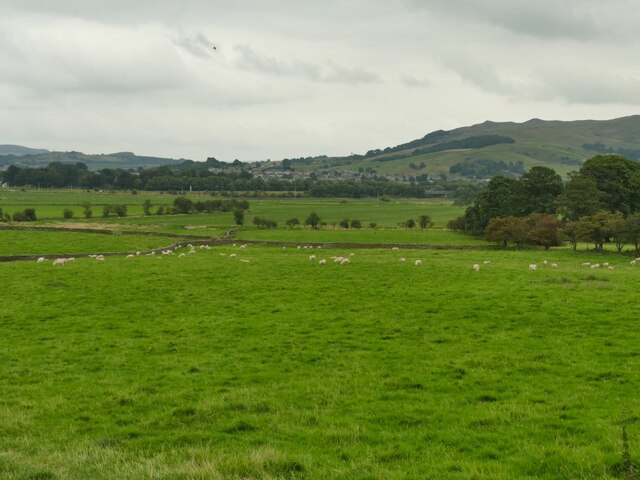
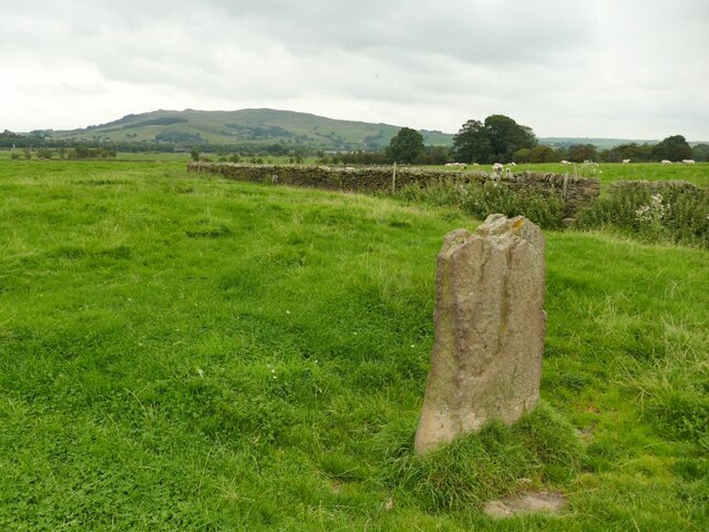
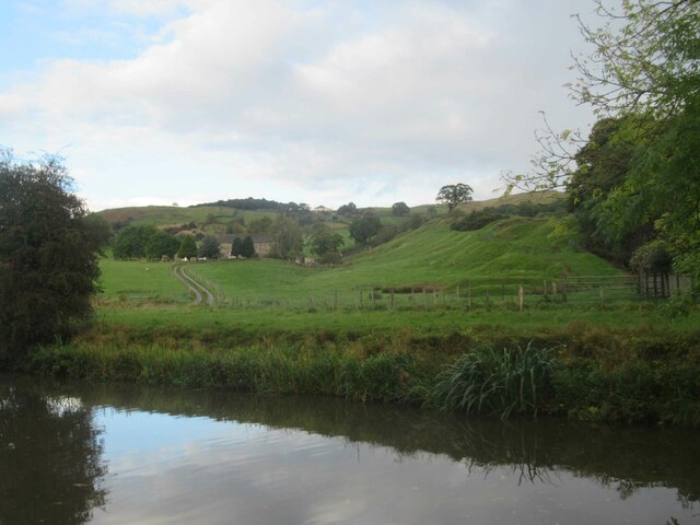
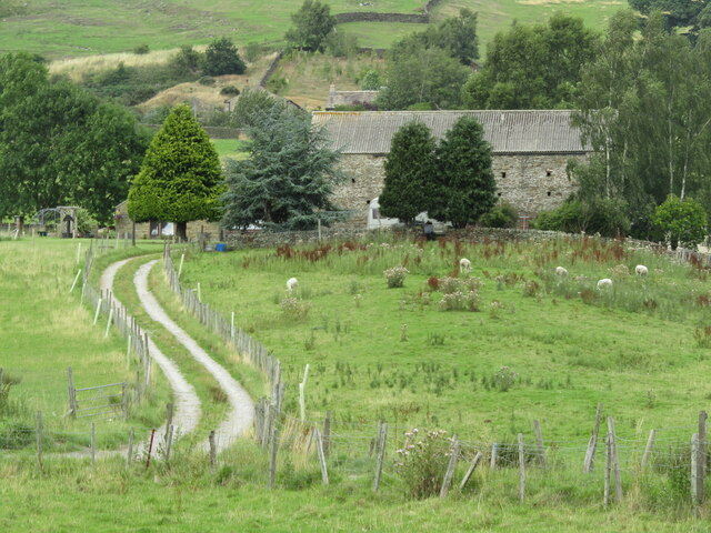
Horse Close is a charming village located in the county of Yorkshire, England. Situated in the picturesque countryside, it is known for its natural beauty and tranquil atmosphere. The village is nestled amongst rolling hills and lush green fields, providing a scenic backdrop for residents and visitors alike.
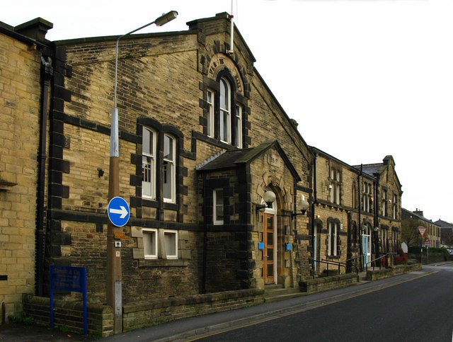
Horse Close is a close-knit community with a population of approximately 500 people. The village is characterized by its quaint and traditional architecture, with many well-preserved cottages and stone buildings dating back several centuries. The local church, St. Mary's, is a prominent landmark, featuring stunning stained glass windows and a peaceful graveyard.
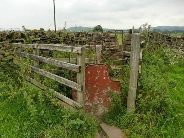
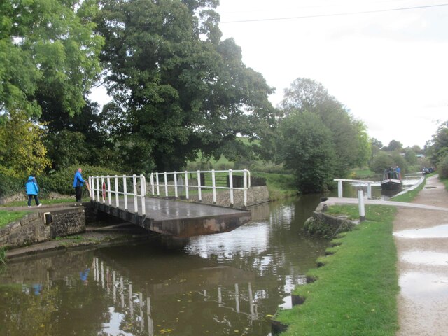
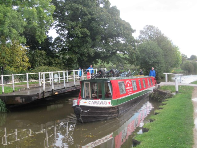
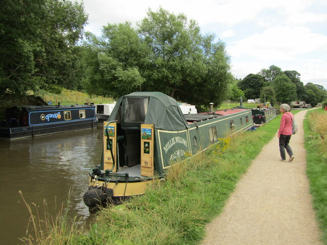
The village is surrounded by several walking trails and bridle paths, making it an ideal destination for outdoor enthusiasts. Horse Close offers ample opportunities for hiking, horseback riding, and exploring the stunning Yorkshire countryside. The nearby River Wharfe is a popular spot for fishing and picnicking.
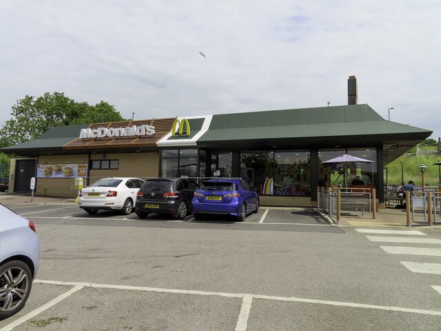
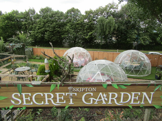
Despite its rural setting, Horse Close is well-connected to nearby towns and cities. The village has a small but thriving local economy, with a handful of shops, cafes, and pubs serving the needs of residents and visitors. The residents of Horse Close take great pride in their community and actively participate in various events and festivals throughout the year.
In summary, Horse Close is a picturesque village in Yorkshire, England, offering a peaceful and idyllic countryside experience. Its natural beauty, friendly community, and easy access to outdoor activities make it an appealing destination for both locals and tourists.
If you have any feedback on the listing, please let us know in the comments section below.
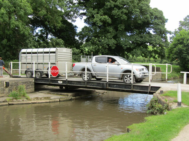
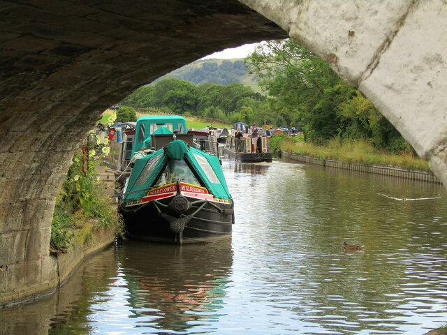
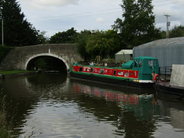
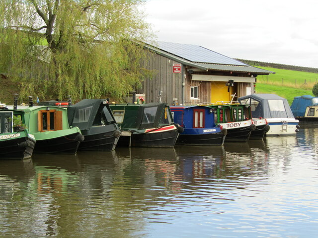
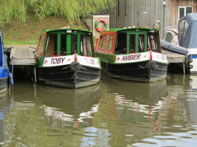
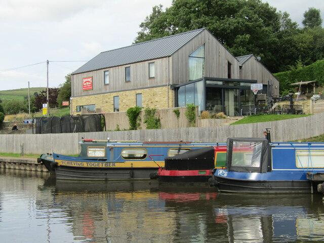
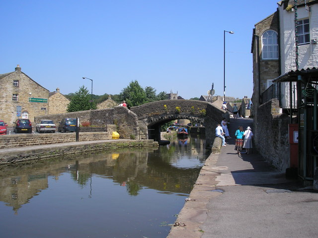
Horse Close Images
Images are sourced within 2km of 53.952036/-2.0136168 or Grid Reference SD9950. Thanks to Geograph Open Source API. All images are credited.
Horse Close is located at Grid Ref: SD9950 (Lat: 53.952036, Lng: -2.0136168)
Division: West Riding
Administrative County: North Yorkshire
District: Craven
Police Authority: North Yorkshire
What 3 Words
///prospered.successes.reporter. Near Skipton, North Yorkshire
Nearby Locations
Related Wikis

Skipton General Hospital
Skipton General Hospital is a health facility in Keighley Road, Skipton, North Yorkshire, England. It is managed by Airedale NHS Foundation Trust. ��2...

Plaza Cinema, Skipton
The Plaza Cinema is a traditional cinema located in Skipton, North Yorkshire, England. It is the sole survivor of four cinemas that once existed in the...

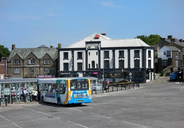
Skipton bus station
Skipton bus station serves the town of Skipton, North Yorkshire, England. It is situated in the town centre, just off Keighley Road, and has eight stands...

Eller Beck
The Eller Beck is a small river in North Yorkshire, England, that flows through the town of Skipton and is a tributary of the River Aire. Its channel was...

Skipton Rural District
Skipton was a rural district in the West Riding of Yorkshire from 1894 to 1974. It was named after Skipton, which constituted an urban district on its...
Thanet Canal
The Thanet Canal, also known as the Springs Branch, is a short branch of the Leeds and Liverpool Canal, in North Yorkshire, England. It leaves the main...
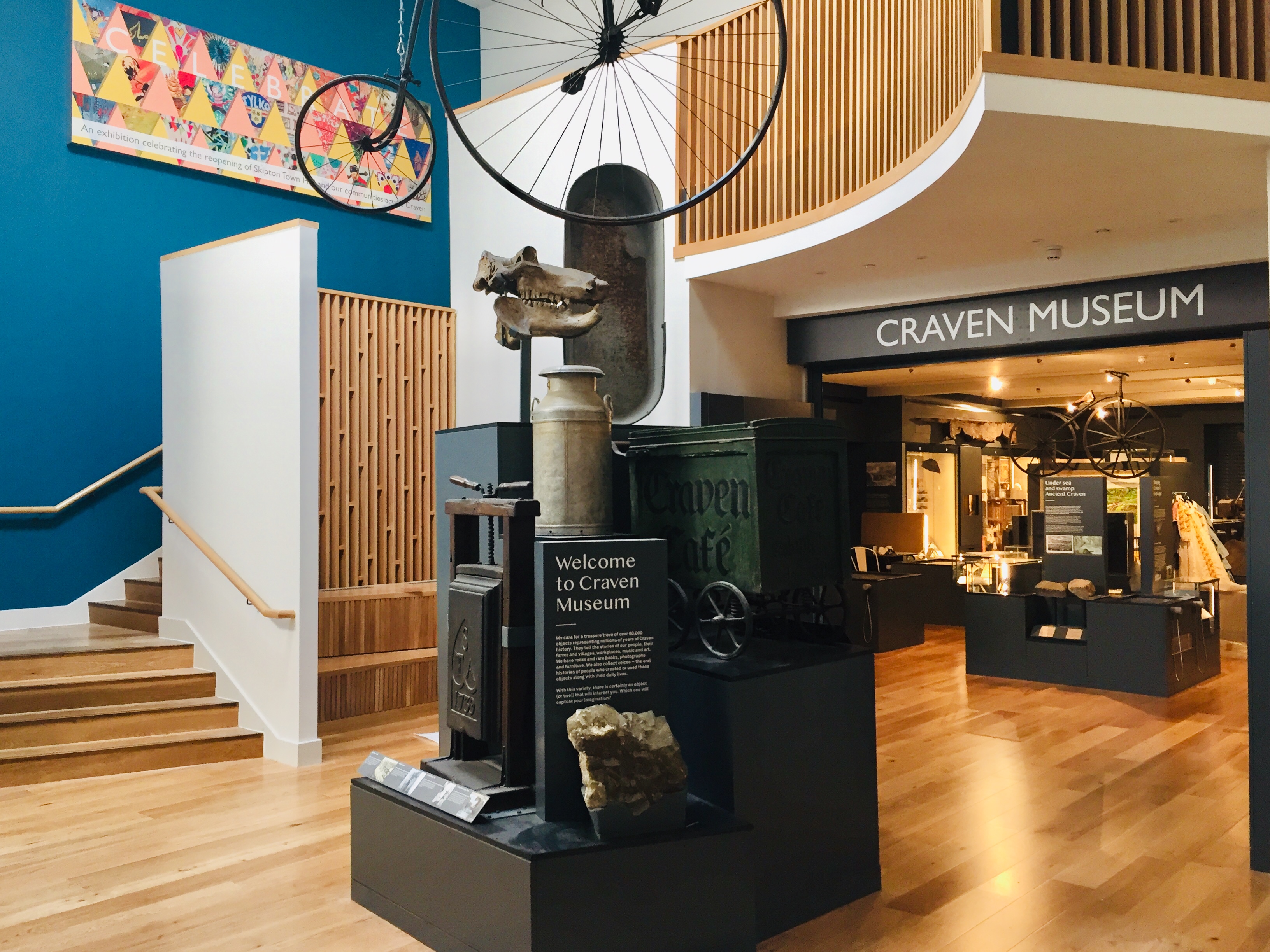
Craven Museum & Gallery
Craven Museum & Gallery is a museum located in the town of Skipton, North Yorkshire, England, in Skipton Town Hall. The museum holds a collection of local...
Otley Road drill hall, Skipton
The Otley Road drill hall, sometimes known as Wellington House, is a former military installation in Skipton, North Yorkshire, England. == History == The...
Nearby Amenities
Located within 500m of 53.952036,-2.0136168Have you been to Horse Close?
Leave your review of Horse Close below (or comments, questions and feedback).