Horse Race End

Settlement in Yorkshire

England

Horse Race End

Small winding wheel in Walton Colliery Nature Park The wheel marks the history of Walton Colliery (formerly Sharlston West) which operated between 1890 & 1979
Small winding wheel in Walton Colliery Nature Park Credit: Graham Hogg

Horse Race End is a small village located in the picturesque county of Yorkshire, England. Situated amidst rolling hills and verdant countryside, this charming hamlet offers a tranquil and idyllic setting for its residents and visitors alike.

The village takes its name from the equestrian heritage that permeates the region. Horse racing has long been a popular pastime in Yorkshire, and Horse Race End is no exception. The village is renowned for its close proximity to several major racecourses, including York Racecourse and Doncaster Racecourse, making it a haven for horse racing enthusiasts.

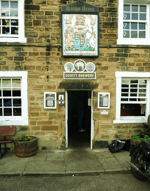
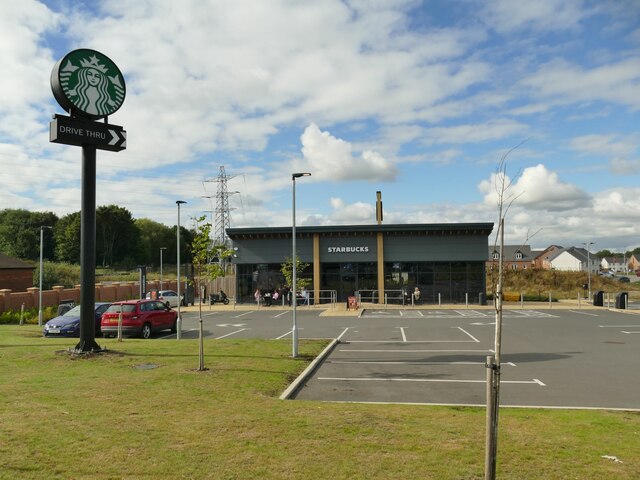
Despite its modest size, Horse Race End boasts a tight-knit community that is known for its warm hospitality and friendly atmosphere. The village is home to a handful of cottages, a quaint church, and a traditional pub, which serves as the hub of social activity for both locals and visitors.

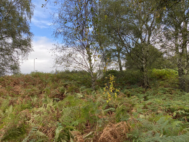
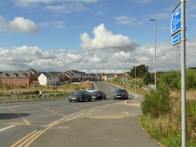
The surrounding countryside offers ample opportunities for outdoor activities such as hiking and cycling, with scenic trails winding through the lush landscape. The village is also within easy reach of the historic city of York, which offers a wealth of cultural attractions, including the iconic York Minster and the medieval streets of the Shambles.

In summary, Horse Race End is a charming village nestled in the heart of Yorkshire, where equestrian traditions and natural beauty converge. With its close proximity to renowned racecourses and its idyllic setting, it is a destination that promises a delightful escape from the hustle and bustle of modern life.

If you have any feedback on the listing, please let us know in the comments section below.

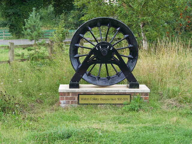
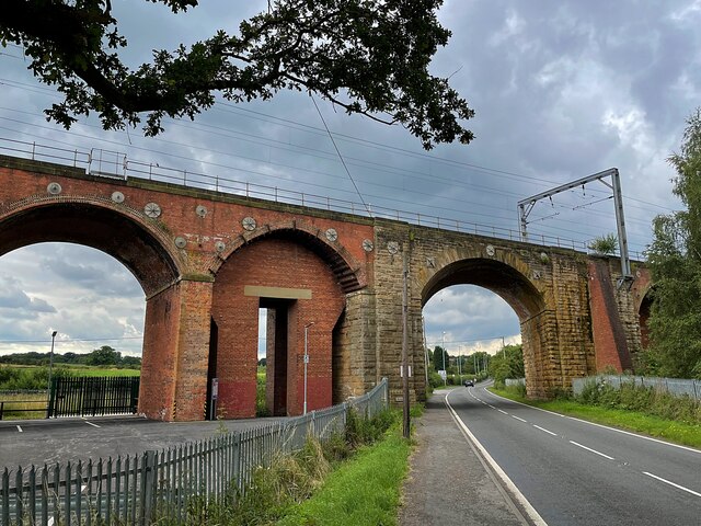
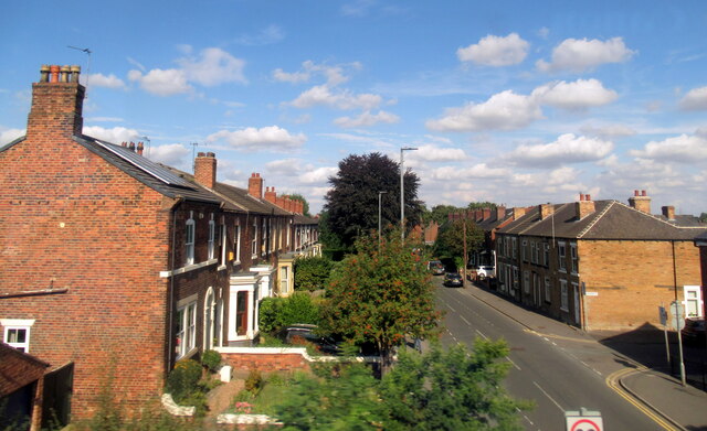
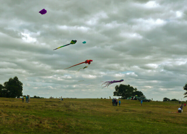
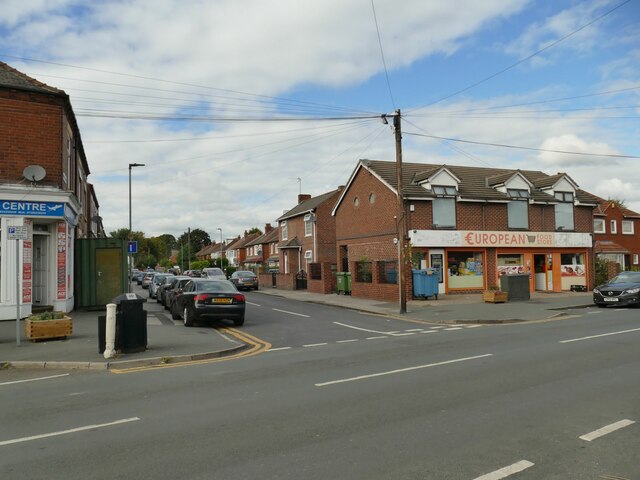
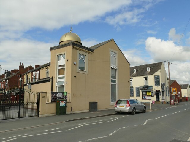
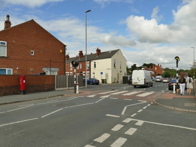
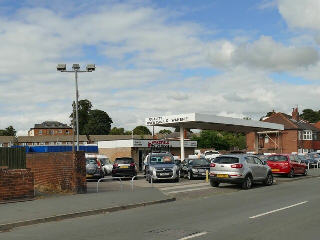
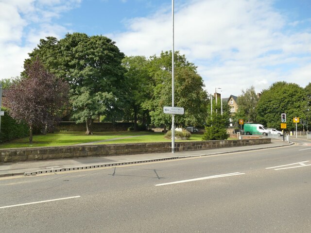
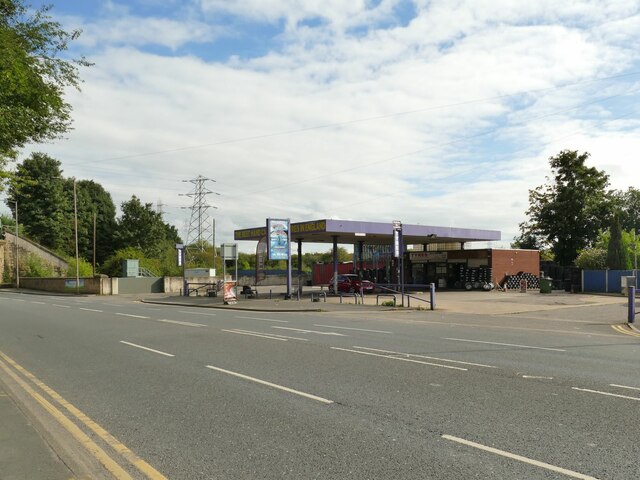
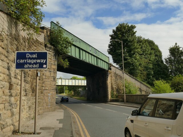
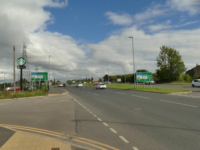
Horse Race End Images

Images are sourced within 2km of 53.670991/-1.4540618 or Grid Reference SE3619. Thanks to Geograph Open Source API. All images are credited.

Small winding wheel in Walton Colliery Nature Park The wheel marks the history of Walton Colliery (formerly Sharlston West) which operated between 1890 & 1979
Small winding wheel in Walton Colliery Nature Park
The wheel marks the history of Walton Colliery (formerly Sharlston West) which operated between 1890 & 1979
Shay Lane railway viaduct Is the new brickwork in the arch for strength or does it serve some other purpose?
Shay Lane railway viaduct
Is the new brickwork in the arch for strength or does it serve some other purpose?
Agbrigg Road Agbrigg
Kites over Heath Common Kites seem to be bigger than they used to be.  The central one looks like a parrot and to its right an octopus or squid. Heath Common is very popular on a Sunday afternoon. There were at least two ice-cream vans. Luckily there are plenty of places to park.
Kites over Heath Common
Kites seem to be bigger than they used to be. The central one looks like a parrot and to its right an octopus or squid. Heath Common is very popular on a Sunday afternoon. There were at least two ice-cream vans. Luckily there are plenty of places to park.
Doorway and inn sign, King's Arms, Heath
Heath Common Trig Point Flush Bracket S4097
Sandal and Agbrigg Convenience Store A shop on Agbrigg Road.
Sandal and Agbrigg Convenience Store
A shop on Agbrigg Road.
Playground in Agbrigg Park This is not much more than a pocket park; apart from the children's play area and a football pitch there are no facilities, just a grassed area of about 0.7 hectare.
Playground in Agbrigg Park
This is not much more than a pocket park; apart from the children's play area and a football pitch there are no facilities, just a grassed area of about 0.7 hectare.
European Food Store, Agbrigg Road In 2010 this was a charity shop <a href="https://www.geograph.org.uk/photo/2129241">SE3419 : The Charity Shop - Agbrigg Road</a>. 'European' in this context usually means 'East European' although I didn't go in to Czech.
European Food Store, Agbrigg Road
In 2010 this was a charity shop SE3419 : The Charity Shop - Agbrigg Road. 'European' in this context usually means 'East European' although I didn't go in to Czech.
Masjid Zakariya, Agbrigg Road The dome has been painted gold since 2010 <a href="https://www.geograph.org.uk/photo/2129238">SE3419 : Masjid Zakariya - Agbrigg Road</a>. This is a small place of worship, a converted and extended house.
Masjid Zakariya, Agbrigg Road
The dome has been painted gold since 2010 SE3419 : Masjid Zakariya - Agbrigg Road. This is a small place of worship, a converted and extended house.
Zebra crossing on Agbrigg Road Note also the GR postbox at left; the 1966 map shows a post office here, possibly replaced by the house now standing behind it.
Zebra crossing on Agbrigg Road
Note also the GR postbox at left; the 1966 map shows a post office here, possibly replaced by the house now standing behind it.
Wakefield Motor House, Agbrigg Road This used car dealer occupies what I presume used to be a filling station.
Wakefield Motor House, Agbrigg Road
This used car dealer occupies what I presume used to be a filling station.
Pocket park at the junction of Doncaster Road and Agbrigg Road Formerly the grounds of Stoneleigh House.
Pocket park at the junction of Doncaster Road and Agbrigg Road
Formerly the grounds of Stoneleigh House.
Hand car wash and tyre sales, Doncaster Road This business boasts 'the best hand car wash and tyres in England', without so much as a 'probably'.
Hand car wash and tyre sales, Doncaster Road
This business boasts 'the best hand car wash and tyres in England', without so much as a 'probably'.
Railway bridges over Doncaster Road The nearer bridge carries a link line from Wakefield Kirkgate station to the main Leeds-Doncaster line. The second bridge, seen from the other side in <a href="https://www.geograph.org.uk/photo/3784593">SE3419 : A638 passes under railway bridges at Agbrigg</a>, once carried a freight branch into Wakefield Power Station, a site now being redeveloped for housing.
Railway bridges over Doncaster Road
The nearer bridge carries a link line from Wakefield Kirkgate station to the main Leeds-Doncaster line. The second bridge, seen from the other side in SE3419 : A638 passes under railway bridges at Agbrigg, once carried a freight branch into Wakefield Power Station, a site now being redeveloped for housing.
Junction on Doncaster Road A somewhat complex junction at the junction of A638 Doncaster Road and A6194 Neil Fox Way (Wakefield eastern bypass). Until 1953, Doncaster Road crossed the Barnsley Canal within this area; the canal is long since infilled.
Junction on Doncaster Road
A somewhat complex junction at the junction of A638 Doncaster Road and A6194 Neil Fox Way (Wakefield eastern bypass). Until 1953, Doncaster Road crossed the Barnsley Canal within this area; the canal is long since infilled.
Starbucks, Doncaster Road A cafe with drive-thru facility, built on the site of the former Agbrigg Farm.
Starbucks, Doncaster Road
A cafe with drive-thru facility, built on the site of the former Agbrigg Farm.
Southern end of Neil Fox Way This is the Wakefield eastern bypass, opened in 2017 and releasing a large tract of land for infill development. There is nothing remaining of the original settlement of Agbrigg, which included the Jolly Sailor pub that was roughly where these cars are.
Southern end of Neil Fox Way
This is the Wakefield eastern bypass, opened in 2017 and releasing a large tract of land for infill development. There is nothing remaining of the original settlement of Agbrigg, which included the Jolly Sailor pub that was roughly where these cars are.
Show me another place!

Horse Race End is located at Grid Ref: SE3619 (Lat: 53.670991, Lng: -1.4540618)

Division: West Riding

Unitary Authority: Wakefield

Police Authority: West Yorkshire

What 3 Words

///dates.rare.pigs. Near Crofton, West Yorkshire

Related Wikis

Oakenshaw railway station

Oakenshaw railway station was located about two miles south-east of Wakefield, West Yorkshire, England. It was opened in 1840 by the North Midland Railway...

Warmfield cum Heath

Warmfield cum Heath is a civil parish in the City of Wakefield in West Yorkshire, England. It has a population of 844. increasing to 941 at the 2011 Census...

Crofton TMD

Crofton Depot is a traction maintenance depot located in Crofton, West Yorkshire, England. The depot is situated on the Wakefield Line and Pontefract Line...

Heath Hall, Heath, West Yorkshire

Heath Hall, Heath, Wakefield, West Yorkshire is a country house dating from 1709. Originally called Eshald House, the estate was purchased by John Smyth...

Crofton railway station

Crofton Station was the smaller of two stations serving Crofton (with the other being Hare Park & Crofton). It was next to Doncaster Road, on the current...

Wakefield power station

The Wakefield power stations refers to a series of two coal-fired power stations situated on the River Calder at Agbrigg south east of Wakefield, serving...

Belle Vue (Wakefield)

Belle Vue, also known as the Be Well Support Stadium for sponsorship reasons, in Wakefield, England, is the home of Wakefield Trinity rugby league club...

Kirkthorpe Hydro

Kirkthorpe hydro is a hydroelectric generating plant located on the River Calder at Kirkthorpe Weir, 4 miles (6.4 km) east of the City of Wakefield in...

Nearby Amenities

Located within 500m of 53.670991,-1.4540618
The Horse and Groom
Addr City: Wakefield
Addr Postcode: WF1 5SG
Addr Street: Horse Race End
Disused Amenity: pub
Lat/Long: 53.6707301/-1.4549124
Post Box
Collection Times: Mo-Fr 09:00, Sa 07:00
Operator: Royal Mail
Post Box Type: wall
Ref: WF1 101
Lat/Long: 53.6708964/-1.4548374
Bus Stop
Black Road Horse Race End
Local Ref: 45019434
Naptan AtcoCode: 450019434
Naptan Bearing: E
Naptan CommonName: Black Road Horse Race End
Naptan Indicator: Stop 45019434
Naptan Landmark: Pineapple PH
Naptan Notes: Adshel removed 09 Feb 2008
Naptan PlusbusZoneRef: LEEDS
Naptan ShortCommonName: West View
Naptan Street: Black Road
Naptan Verified: yes
Shelter: no
Source: naptan_import
Timetable: yes
Lat/Long: 53.6710132/-1.4553855
Bus Stop
Black Road Horse Race End
Bus: yes
Local Ref: 45019435
Naptan AtcoCode: 450019435
Naptan Bearing: W
Naptan CommonName: Black Road Horse Race End
Naptan Indicator: Stop 45019435
Naptan Landmark: Horse & Groom PH
Naptan PlusbusZoneRef: LEEDS
Naptan ShortCommonName: West View
Naptan Street: Black Road
Naptan Verified: yes
Public Transport: platform
Shelter: no
Source: naptan_import
Timetable: yes
Lat/Long: 53.6708875/-1.4554174
Oakenshaw North Junction
Abandoned Railway: signal_box
Lat/Long: 53.6668027/-1.4558414
Oakenshaw North Junction
Historic Railway: junction
Railway: site
Lat/Long: 53.6666571/-1.4557975
Railway: buffer_stop
Lat/Long: 53.6671213/-1.4517912
Power: pole
Lat/Long: 53.667824/-1.4489737
Power: pole
Lat/Long: 53.6687038/-1.4489658
Power: pole
Lat/Long: 53.6687132/-1.4603468
Power: pole
Lat/Long: 53.6687776/-1.4490745
Power: pole
Lat/Long: 53.6693039/-1.4499045
Power: pole
Lat/Long: 53.669307/-1.4591695
Power: pole
Lat/Long: 53.669441/-1.4483968
Power: pole
Lat/Long: 53.6696039/-1.4503897
Power: pole
Lat/Long: 53.6698977/-1.4580054
Power: pole
Lat/Long: 53.6700165/-1.4477968
Power: pole
Lat/Long: 53.6700726/-1.4510932
Power: pole
Lat/Long: 53.670259/-1.4539695
Power: pole
Lat/Long: 53.670391/-1.4553829
Power: pole
Lat/Long: 53.6704067/-1.4528982
Power: pole
Lat/Long: 53.6705041/-1.456836
Power: pole
Lat/Long: 53.6705371/-1.4518376
Power: pole
Lat/Long: 53.6707163/-1.4470805
Power: pole
Lat/Long: 53.6710021/-1.4525827
Heath Common
Place: locality
Source: OS HISTORIC MAPS.
Lat/Long: 53.6721403/-1.4595557
Barrier: bollard
Lat/Long: 53.6713109/-1.4536119
The data included in this document is from www.openstreetmap.org. The data is made available under ODbL.

Have you been to Horse Race End?

Leave your review of Horse Race End below (or comments, questions and feedback).