Hillside
Settlement in Somerset
England
Hillside
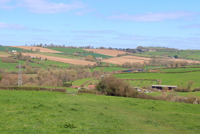
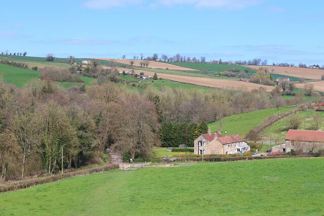
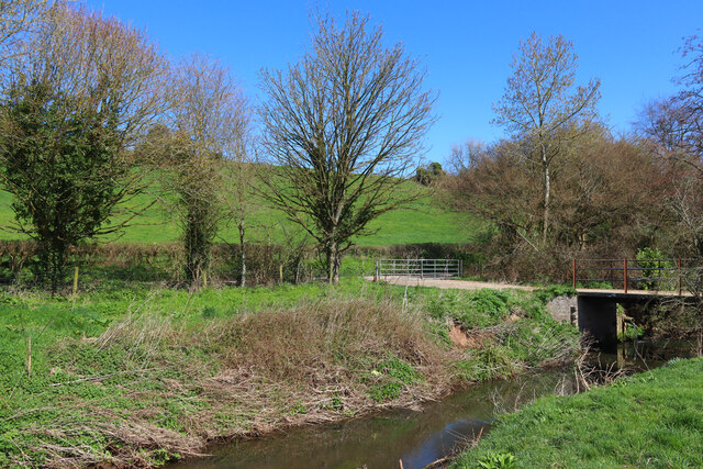
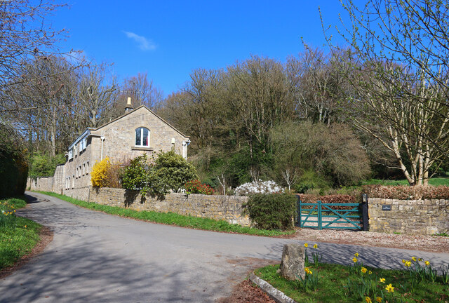
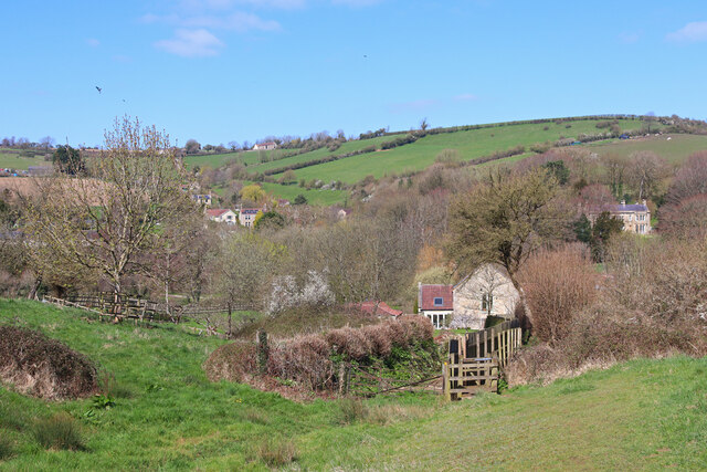
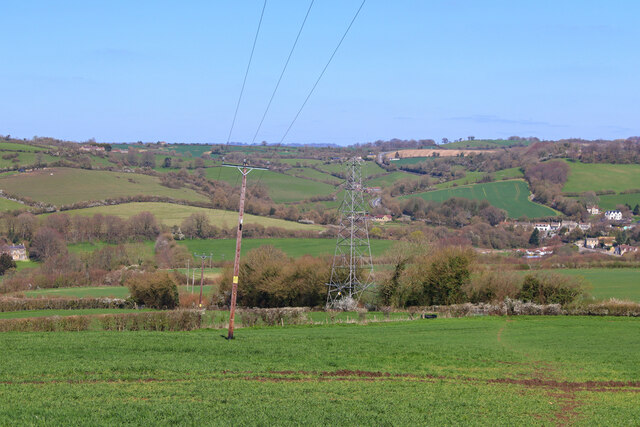
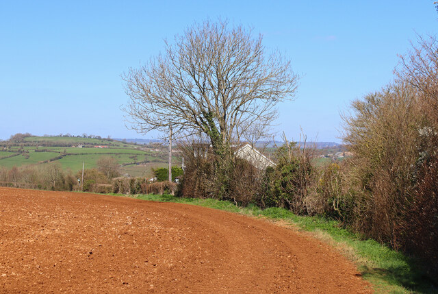
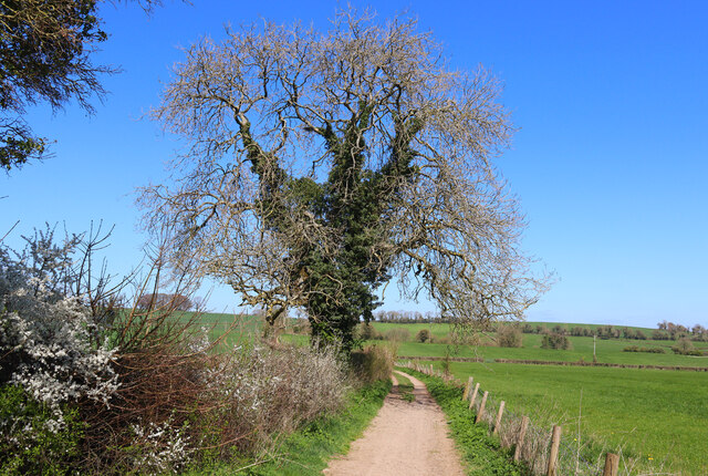
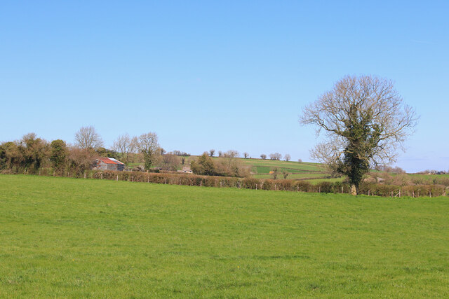
Hillside, Somerset is a charming village located in the county of Somerset, England. Situated on the southern slopes of the Mendip Hills, it is surrounded by picturesque countryside and offers stunning views of the surrounding landscape.
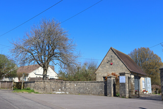
The village itself is small, with a population of around 800 residents. It is characterized by its traditional stone-built houses, many of which date back to the 18th and 19th centuries, giving the village a quaint and historic ambiance.
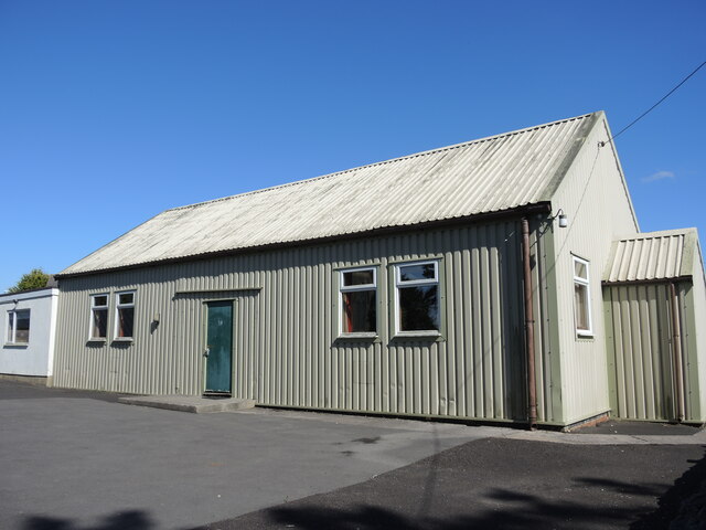
Hillside boasts a strong sense of community, with a village hall where various events and activities take place throughout the year. Its residents are known for being friendly and welcoming, which contributes to the village's warm and inviting atmosphere.
Nature lovers will be delighted by the natural beauty that surrounds Hillside. The nearby Mendip Hills provide ample opportunities for outdoor activities such as hiking, cycling, and horseback riding. Cheddar Gorge, one of the UK's most stunning natural wonders, is also just a short distance away, offering visitors the chance to explore its dramatic cliffs and caves.
Despite its rural location, Hillside is conveniently located close to several larger towns and cities. The city of Wells, with its famous cathedral and bustling market, is only a short drive away, while the vibrant cities of Bristol and Bath are within easy reach.
In conclusion, Hillside, Somerset is a tranquil and picturesque village that offers a peaceful countryside retreat while still providing easy access to nearby towns and cities. With its friendly community and stunning natural surroundings, it is a truly idyllic place to live or visit.
If you have any feedback on the listing, please let us know in the comments section below.
Hillside Images
Images are sourced within 2km of 51.318746/-2.4285796 or Grid Reference ST7057. Thanks to Geograph Open Source API. All images are credited.
Hillside is located at Grid Ref: ST7057 (Lat: 51.318746, Lng: -2.4285796)
Unitary Authority: Bath and North East Somerset
Police Authority: Avon and Somerset
What 3 Words
///denim.overnight.conforms. Near Peasedown St John, Somerset
Nearby Locations
Related Wikis
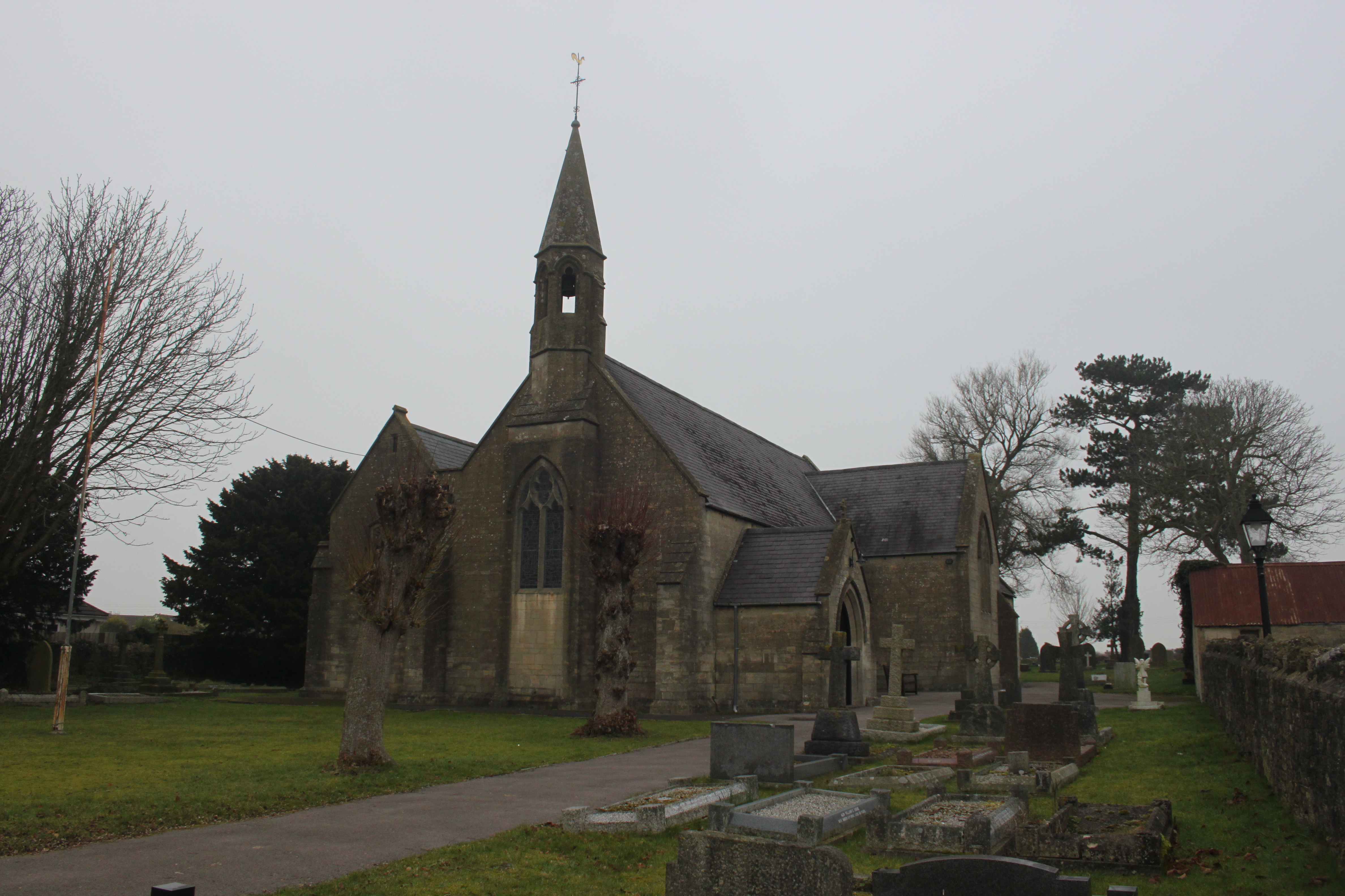
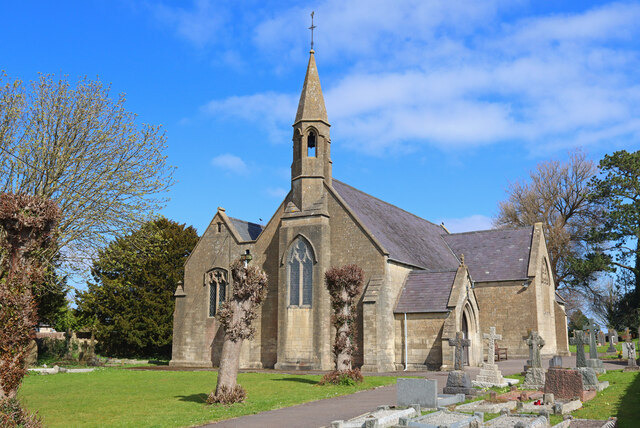
St John's Church, Peasedown St John
St John's Church, Peasedown St John (or more formally the Church of St John the Baptist, Peasedown) is the Anglican parish church for the village of Peasedown...

Peasedown St John
Peasedown St John (commonly referred to as Peasedown) is a village and civil parish in Somerset, England, standing on a hilltop roughly 5 miles (8 km)...

Dunkerton railway station
Dunkerton railway station served the village of Dunkerton, Somerset, England from 1910 to 1925. It was constructed as part of the extension of the original...

Camerton Court
Camerton Court is a historic house in the village of Camerton, Somerset, England. It has been designated as a Grade II listed building. == House == The...

St Peter's Church, Camerton Park
The Church of St Peter at Camerton Park in Camerton, Somerset, England was built in the 15th century and has been designated as a Grade I listed building...
Camerton, Somerset
Camerton is a village and civil parish in Somerset, 6 miles (9.7 km) south west of Bath, lying on the Cam Brook. The parish has a population of 655....

Church of All Saints, Dunkerton
The Church of All Saints is an Anglican parish church in Dunkerton Somerset, England. It was built in the 14th century with the tower being added in the...
Dunkerton, Somerset
Dunkerton is a small village in the civil parish of Dunkerton and Tunley, 4 miles (6.4 km) north east of Radstock, and 5 miles (8.0 km) south west of Bath...
Nearby Amenities
Located within 500m of 51.318746,-2.4285796Have you been to Hillside?
Leave your review of Hillside below (or comments, questions and feedback).