Hillside
Settlement in Somerset
England
Hillside
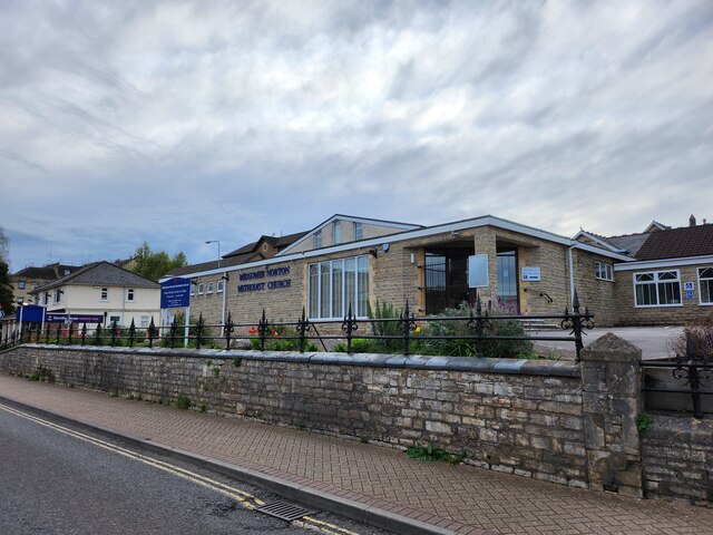
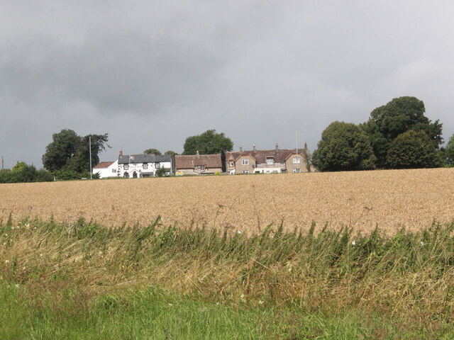
Hillside is a charming village located in the county of Somerset, England. Situated on the southern edge of the Mendip Hills, it offers stunning views of the surrounding countryside and a tranquil atmosphere that attracts both residents and visitors.
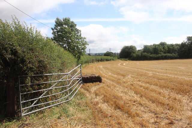
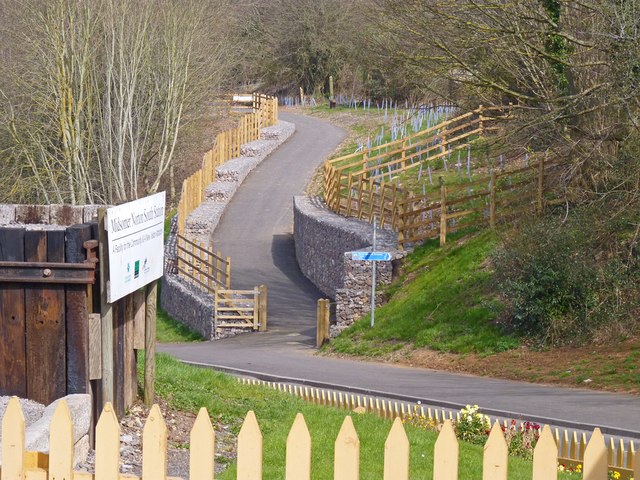
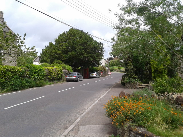
The village is known for its picturesque setting, with rolling hills, lush green fields, and winding country lanes. It is home to a close-knit community that takes pride in its rich history and vibrant local culture. The architecture of Hillside reflects its heritage, with many traditional stone cottages and buildings dotted throughout the area.
Residents of Hillside enjoy a range of amenities within the village, including a local pub, a village hall, and a primary school. The village is also well-connected to nearby towns and cities, with good transport links making it easily accessible.
Nature enthusiasts are drawn to Hillside due to its proximity to the Mendip Hills Area of Outstanding Natural Beauty. This designated protected area offers a wealth of outdoor activities, such as hiking, cycling, and wildlife spotting. Cheddar Gorge, a renowned natural attraction, is also within easy reach of the village.
Hillside benefits from a strong sense of community spirit, with various events and activities organized throughout the year. These include annual fairs, village markets, and sports tournaments. The village is also home to several clubs and societies that cater to a range of interests, fostering a sense of belonging among its residents.
Overall, Hillside is a delightful village that offers a peaceful and idyllic setting, combined with a strong community spirit and access to stunning natural landscapes.
If you have any feedback on the listing, please let us know in the comments section below.
Hillside Images
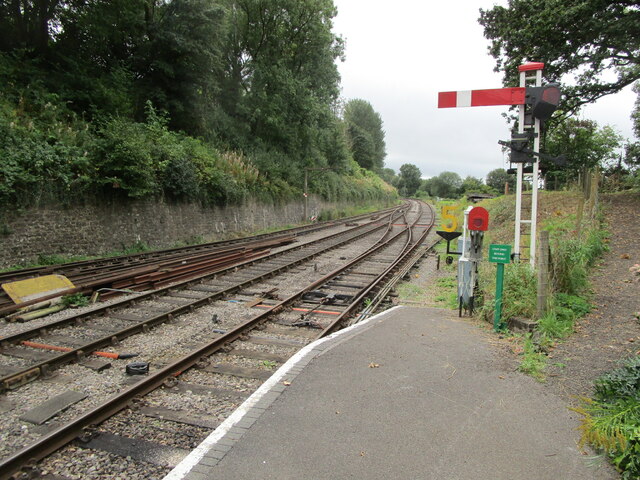
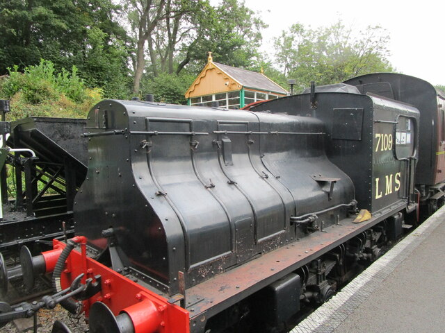
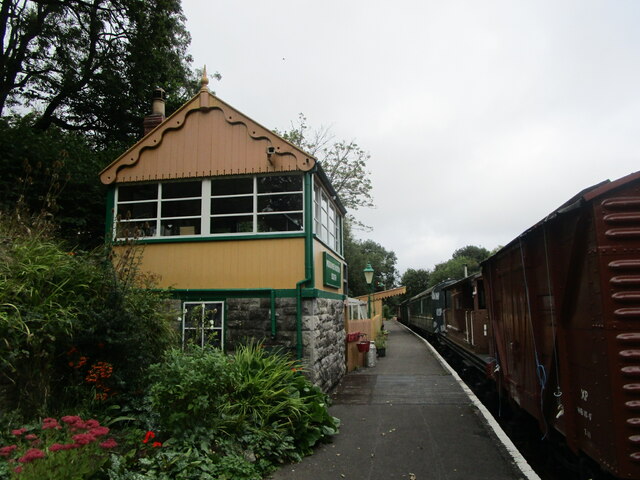
Images are sourced within 2km of 51.280856/-2.4944378 or Grid Reference ST6553. Thanks to Geograph Open Source API. All images are credited.
Hillside is located at Grid Ref: ST6553 (Lat: 51.280856, Lng: -2.4944378)
Unitary Authority: Bath and North East Somerset
Police Authority: Avon and Somerset
What 3 Words
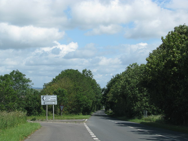
///betrayed.clumped.lamenting. Near Midsomer Norton, Somerset
Nearby Locations
Related Wikis

Somervale School
Somervale School is situated in Midsomer Norton in Bath and North East Somerset in South West England. The school, which has academy status, is a specialist...

Norton House, Somerset
Norton House was a mansion in Midsomer Norton, Somerset. It was built around 1789 by the Savage family, investors in mines in the Somerset Coalfield...
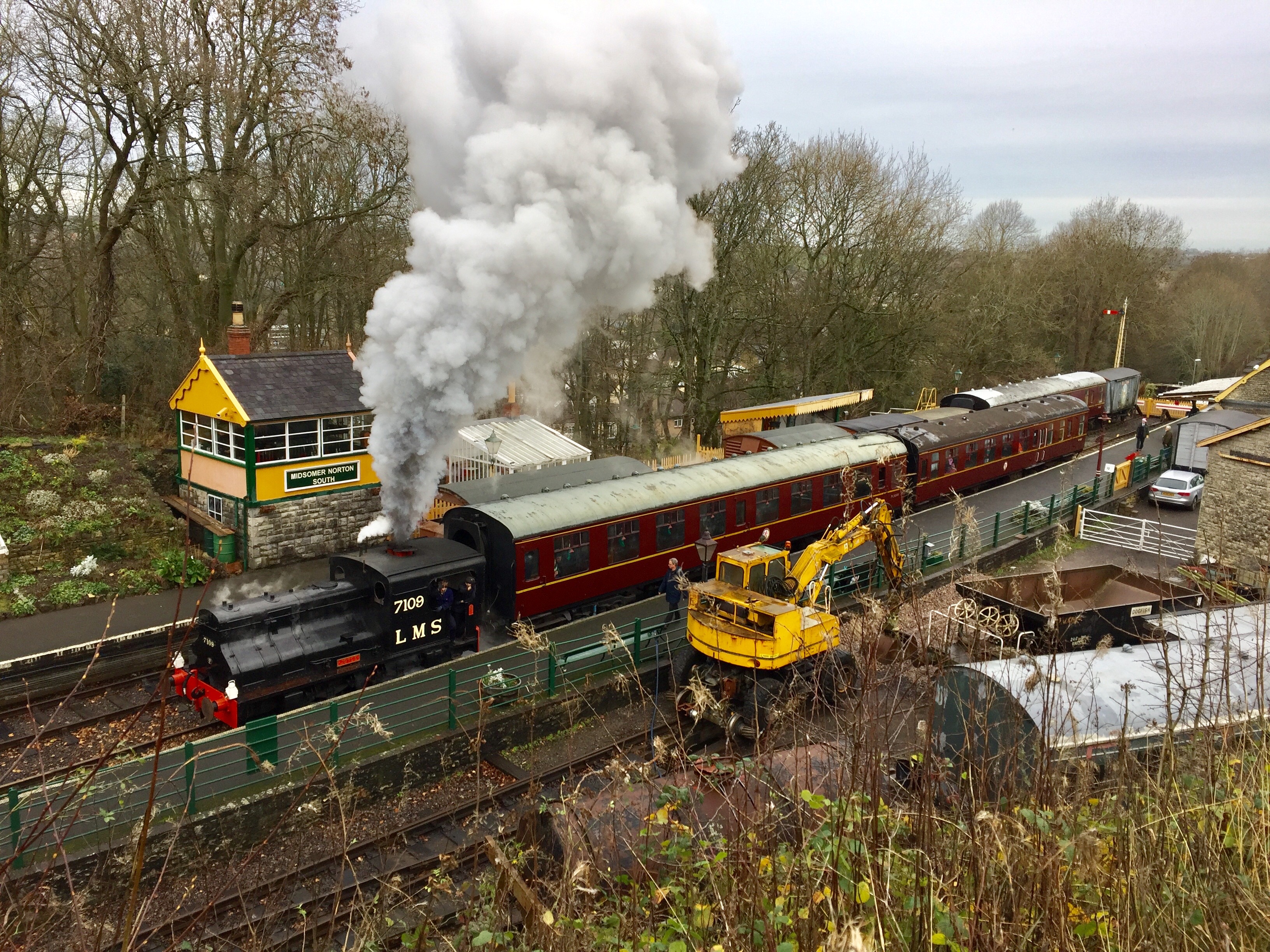
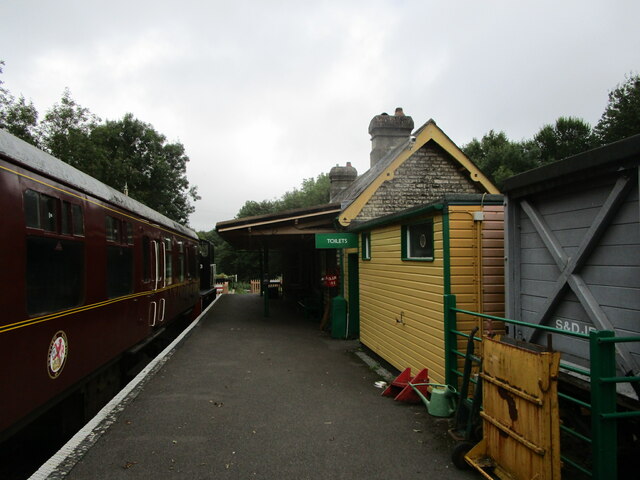
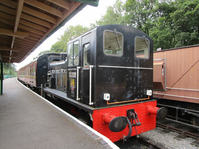
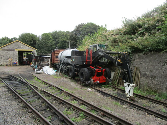
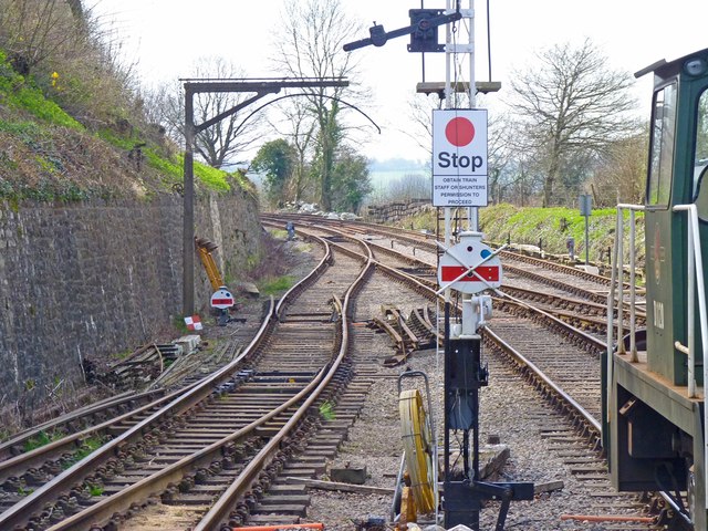
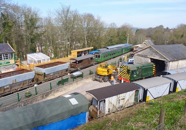
Somerset & Dorset Railway Heritage Trust
The Somerset & Dorset Railway Heritage Trust (S&DRHT) is a heritage railway line in Somerset, England, that runs on a restored section of the Somerset...

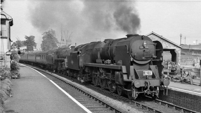
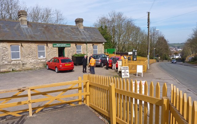
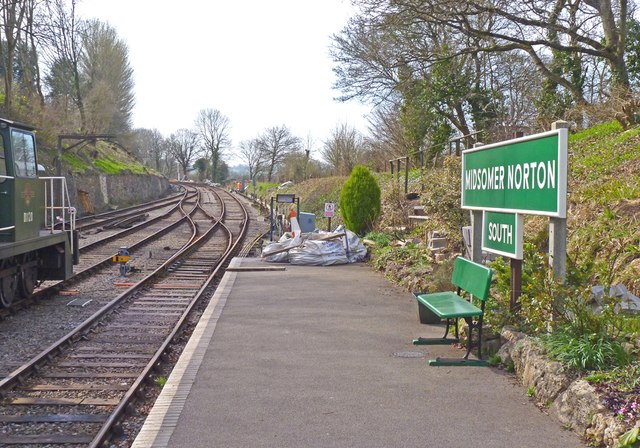
Midsomer Norton railway station
Midsomer Norton railway station (originally Midsomer Norton, later Midsomer Norton and Welton and finally Midsomer Norton South) was a station on the Somerset...
Related Videos

Somerset & Dorset. Bank Holiday open days
Midsomer Norton Bank Holiday 31/5/21.

Holiday in Cambodia (Cover by The Spanners)
The Spanners - Live at The Dolphin (Midsomer Norton), April 2023 Cover of Holiday in Cambodia by The Dead Kennedys.

Holiday (Cover by The Spanners)
The Spanners - Live at The Dolphin (Midsomer Norton), April 2023 Cover of Holiday by Green Day No copyright infringement ...

Trail Running 🏃♂️
Join me on one of my favourite trail runs around Midsomer Norton, Charlton, Holcombe, Stratton on the Fosse & Chilcompton in ...
Nearby Amenities
Located within 500m of 51.280856,-2.4944378Have you been to Hillside?
Leave your review of Hillside below (or comments, questions and feedback).