Peasedown St. John
Civil Parish in Somerset
England
Peasedown St. John
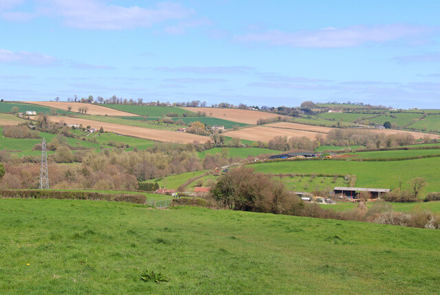
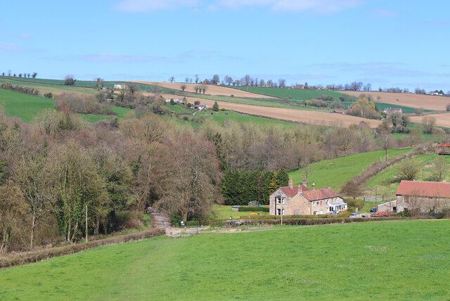
Peasedown St. John is a civil parish located in the county of Somerset, England. Situated approximately 7 miles to the south-west of Bath, it is nestled in a picturesque countryside setting. The parish covers an area of about 2.5 square miles and is home to a population of around 6,000 residents.
Peasedown St. John has a rich history, with evidence of human settlement dating back to the Roman period. The village was primarily an agricultural community until the 19th century when coal mining became a significant industry, providing employment opportunities for the local population. Today, the village has transformed into a commuter suburb, with many residents working in nearby towns and cities.
The village offers a range of amenities and services to cater to the needs of its residents. These include a primary school, a community center, a library, a health center, and several shops and businesses. Additionally, there are several pubs and restaurants where locals and visitors can enjoy a meal or a drink.
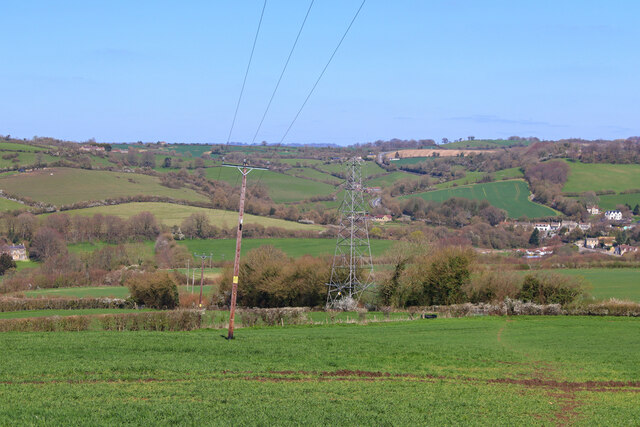
Peasedown St. John is well-connected to the surrounding areas via road and public transport. It has regular bus services that link it to Bath and other nearby towns. The village also benefits from its close proximity to the A367 road, providing easy access to larger cities like Bristol and Wells.
Overall, Peasedown St. John is a charming and thriving village, offering a peaceful rural lifestyle combined with convenient access to nearby urban areas.
If you have any feedback on the listing, please let us know in the comments section below.
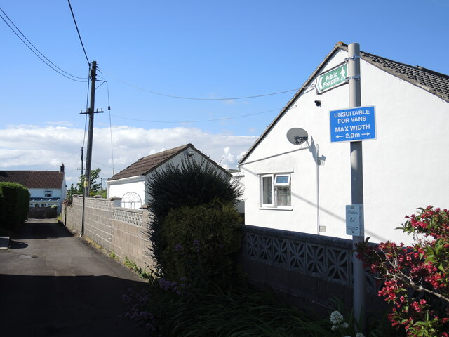
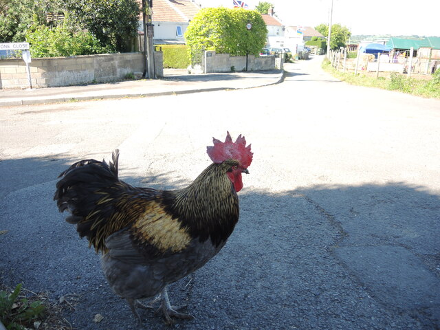
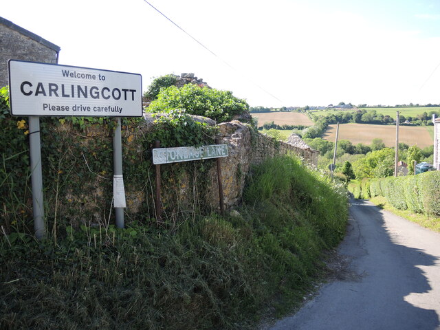
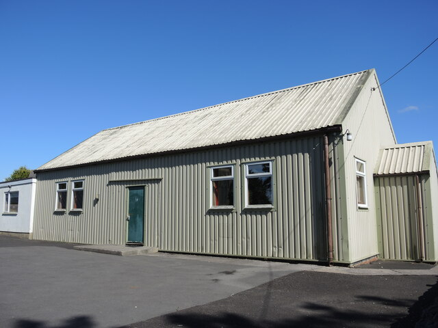
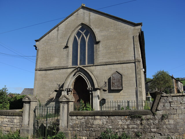
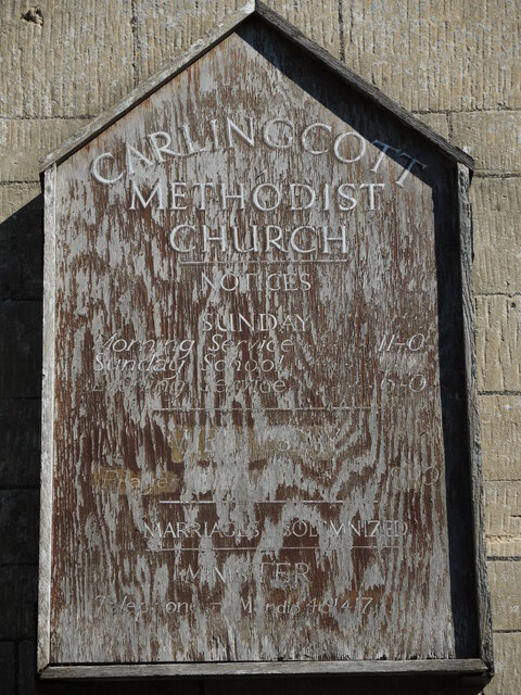
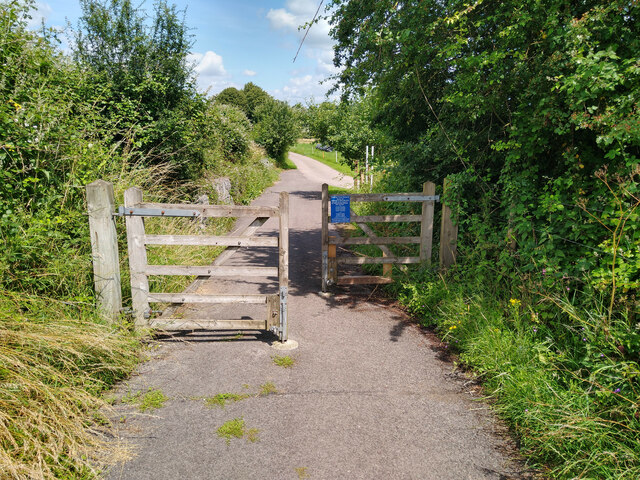
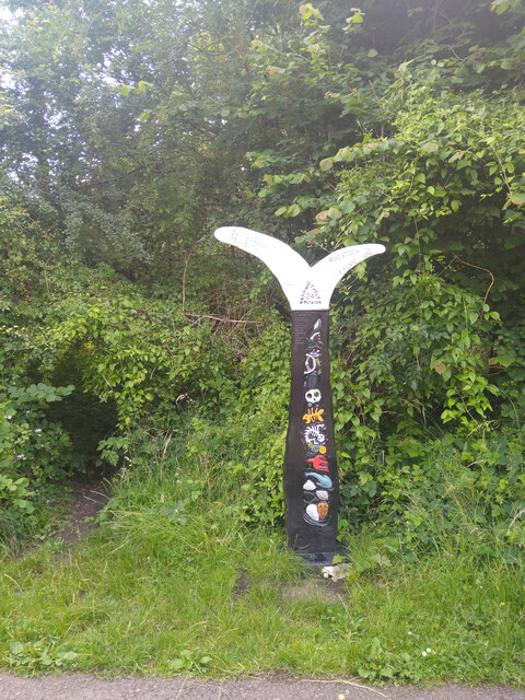
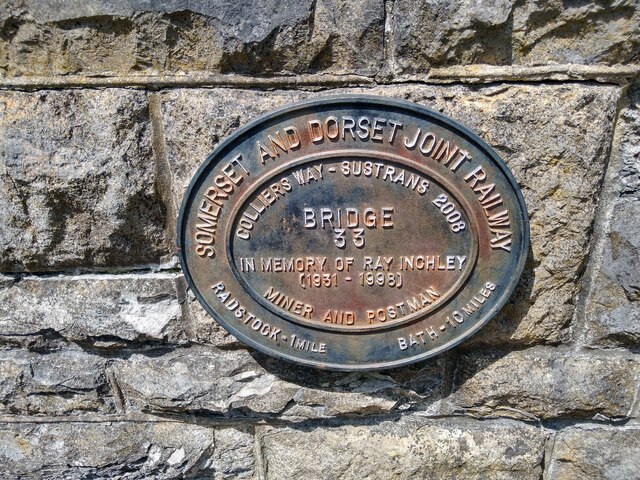
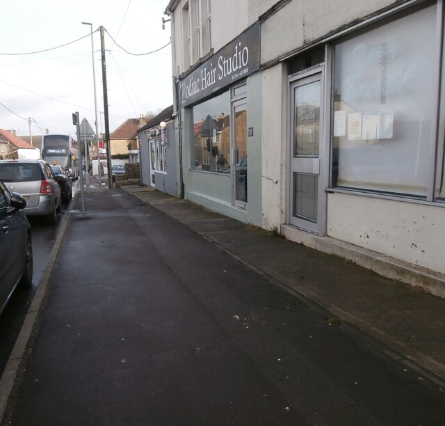
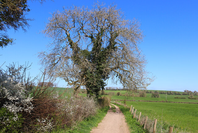
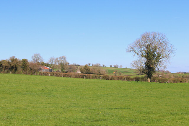
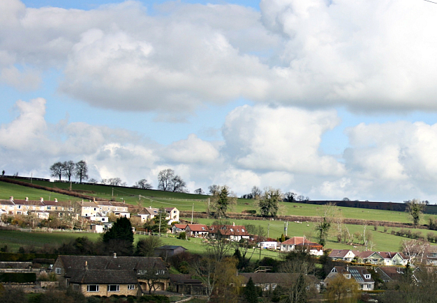
Peasedown St. John Images
Images are sourced within 2km of 51.313768/-2.428173 or Grid Reference ST7057. Thanks to Geograph Open Source API. All images are credited.
Peasedown St. John is located at Grid Ref: ST7057 (Lat: 51.313768, Lng: -2.428173)
Unitary Authority: Bath and North East Somerset
Police Authority: Avon and Somerset
What 3 Words
///pushes.ramming.resources. Near Peasedown St John, Somerset
Nearby Locations
Related Wikis

Peasedown St John
Peasedown St John (commonly referred to as Peasedown) is a village and civil parish in Somerset, England, standing on a hilltop roughly 5 miles (8 km)...
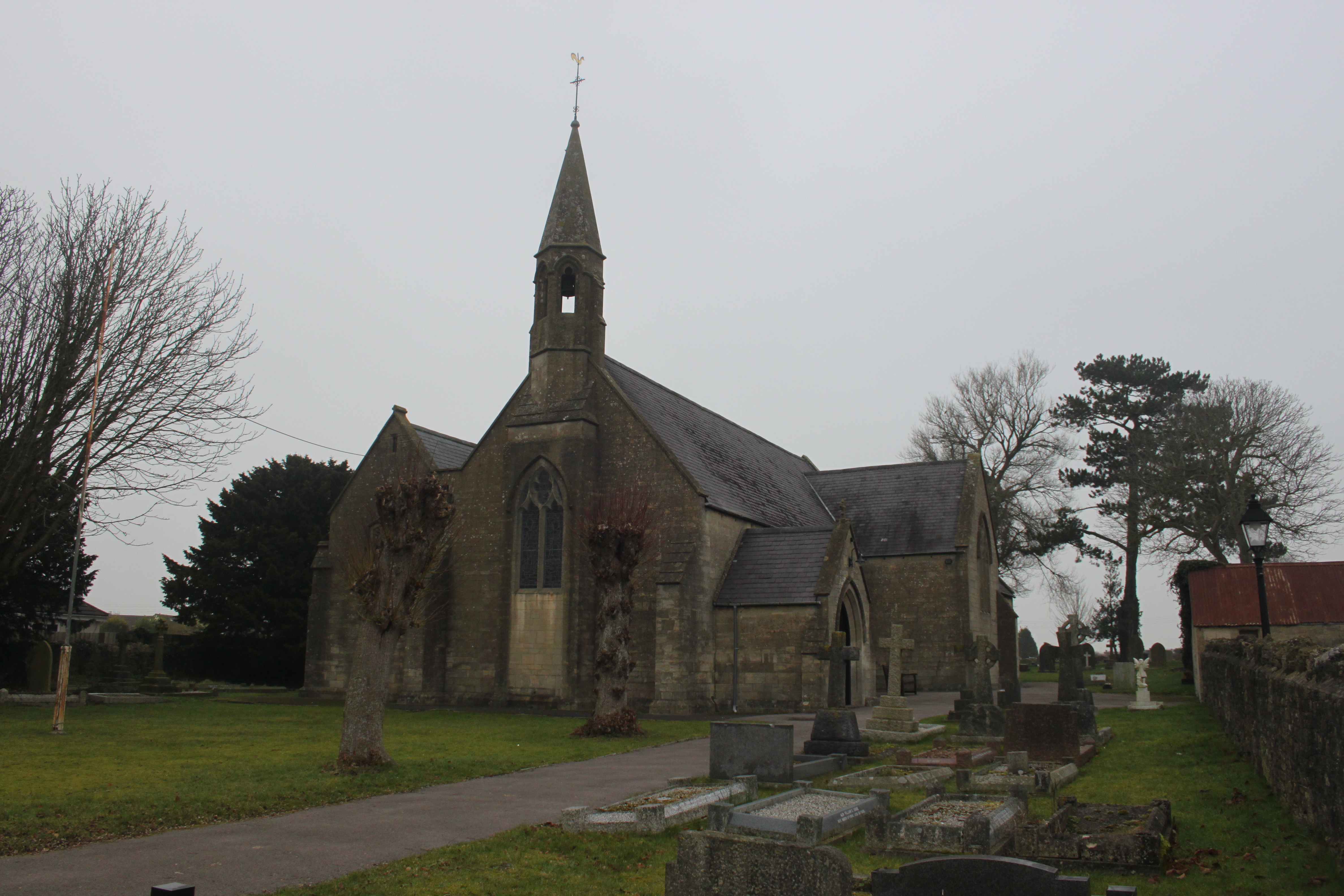
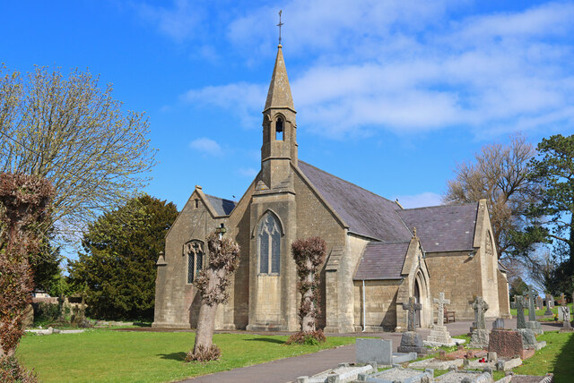
St John's Church, Peasedown St John
St John's Church, Peasedown St John (or more formally the Church of St John the Baptist, Peasedown) is the Anglican parish church for the village of Peasedown...

Camerton Court
Camerton Court is a historic house in the village of Camerton, Somerset, England. It has been designated as a Grade II listed building. == House == The...

St Peter's Church, Camerton Park
The Church of St Peter at Camerton Park in Camerton, Somerset, England was built in the 15th century and has been designated as a Grade I listed building...

Dunkerton railway station
Dunkerton railway station served the village of Dunkerton, Somerset, England from 1910 to 1925. It was constructed as part of the extension of the original...
Camerton, Somerset
Camerton is a village and civil parish in Somerset, 6 miles (9.7 km) south west of Bath, lying on the Cam Brook. The parish has a population of 655....
Radstock rail accident
The Radstock rail accident took place on the Somerset and Dorset Joint Railway in south west England, on 7 August 1876. Two trains collided on a single...
Shoscombe
Shoscombe is a small village and civil parish in the valley of the Wellow Brook in north-east Somerset, about 7 miles (11 km) south of Bath, England. The...
Nearby Amenities
Located within 500m of 51.313768,-2.428173Have you been to Peasedown St. John?
Leave your review of Peasedown St. John below (or comments, questions and feedback).