Hill Top
Settlement in Staffordshire Staffordshire Moorlands
England
Hill Top
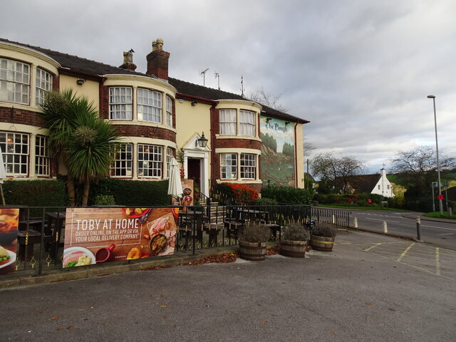
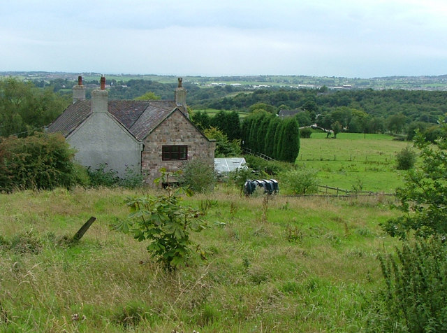
Hill Top is a small village located in the county of Staffordshire, England. Situated approximately 5 miles north of the town of Burton upon Trent, Hill Top is a rural community with a population of around 500 residents.
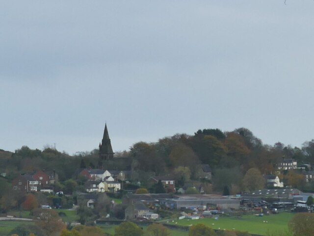
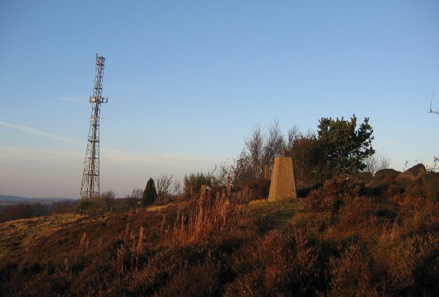
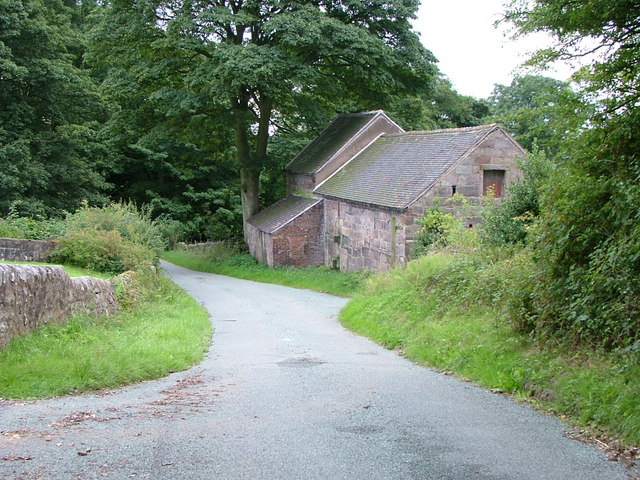
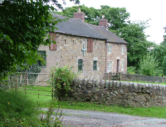
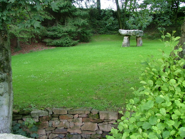
The village is characterized by its picturesque countryside setting, surrounded by rolling hills and farmland, making it an ideal location for those seeking a peaceful and tranquil environment. The landscape is dotted with traditional English cottages, giving Hill Top a charming and quaint atmosphere.
Despite its small size, Hill Top boasts a strong sense of community, with residents actively involved in various local organizations and events. The village has a primary school, providing education for children within the community, and a village hall that serves as a hub for social activities and gatherings.
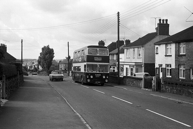
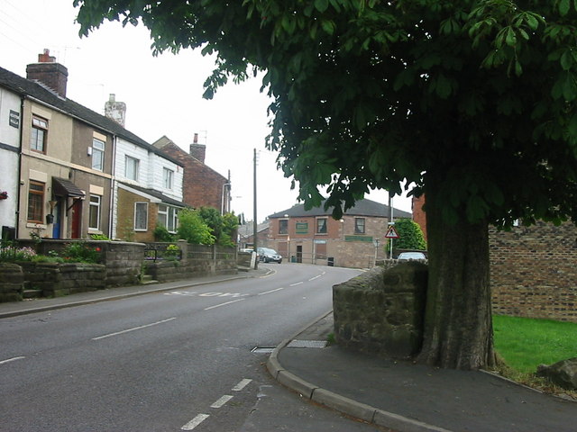
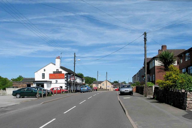
For amenities and services, residents have easy access to nearby towns such as Burton upon Trent, which offers a wider range of facilities including shopping centers, healthcare, and recreational opportunities. Hill Top is well-connected to surrounding areas via road networks, with convenient access to major highways for commuting and travel purposes.
The village is also within close proximity to several notable attractions. The National Memorial Arboretum, a stunning tribute to fallen soldiers, is just a short drive away, as is the historic Tutbury Castle. Additionally, the scenic countryside provides ample opportunities for outdoor activities such as hiking, cycling, and exploring the nearby nature reserves.
In summary, Hill Top offers a tranquil and close-knit community within a beautiful countryside setting, making it an idyllic place to reside for those seeking a peaceful and picturesque lifestyle.
If you have any feedback on the listing, please let us know in the comments section below.
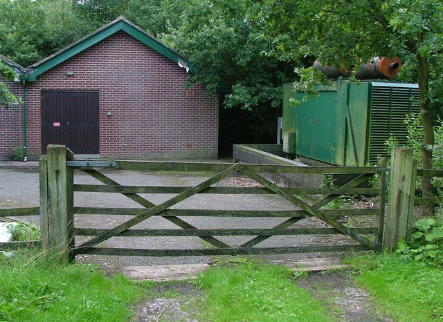
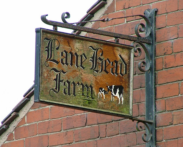
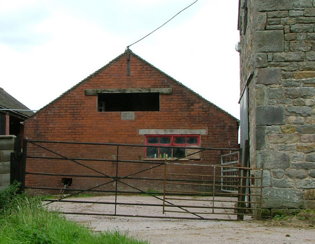
Hill Top Images
Images are sourced within 2km of 53.0844/-2.1368779 or Grid Reference SJ9054. Thanks to Geograph Open Source API. All images are credited.

Hill Top is located at Grid Ref: SJ9054 (Lat: 53.0844, Lng: -2.1368779)
Administrative County: Staffordshire
District: Staffordshire Moorlands
Police Authority: Staffordshire
What 3 Words
///doll.dragonfly.worth. Near Biddulph, Staffordshire
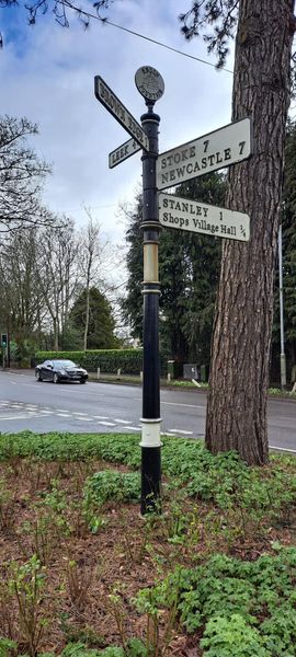
Nearby Locations
Related Wikis
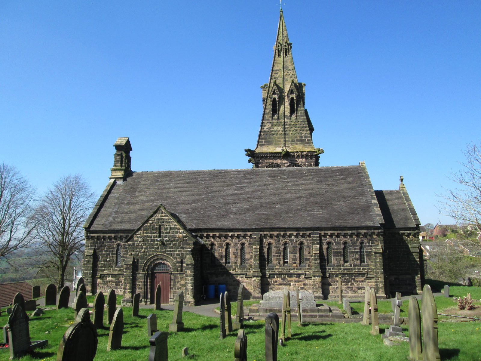
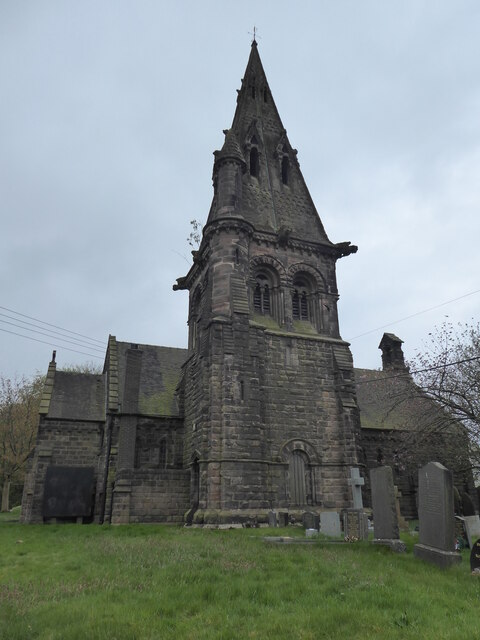
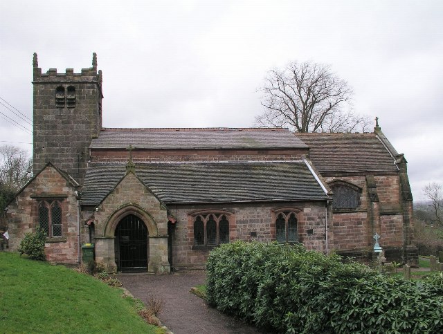
St Anne's Church, Brown Edge
St Anne's Church is an Anglican church in Brown Edge, Staffordshire, England, and in the Diocese of Lichfield. The building is Grade II listed. == History... ==

Brown Edge
Brown Edge is a village and civil parish in the Staffordshire Moorlands district of Staffordshire, England. According to the 2001 census it had a population...

Knypersley Reservoir
Knypersley Reservoir near Biddulph, Staffordshire, England, was built in 1827 to supply water to the Caldon Canal, along with two others at Stanley Pool...

Endon High School
Endon High School is a coeducational secondary school located in Endon in the English county of Staffordshire.Endon Hall Primary School and St Lukes CE...

Endon
Endon is a village within the Staffordshire Moorlands district of Staffordshire, England. It is 4 miles (6.4 km) southwest of Leek and 6 miles (9.7 km...
St Luke's Church, Endon
St Luke's Church is an Anglican church in Endon, Staffordshire, England, and in the Diocese of Lichfield. The building, dating originally from about 1720...
Ridgeway, Staffordshire
Ridgeway is a hamlet on the boundary of Brown Edge and Stoke-on-Trent in Staffordshire, England. == References ==

Endon railway station
Endon railway station is a disused railway station in Staffordshire. The Stoke–Leek line was opened by the North Staffordshire Railway (NSR) in 1867 and...
Nearby Amenities
Located within 500m of 53.0844,-2.1368779Have you been to Hill Top?
Leave your review of Hill Top below (or comments, questions and feedback).