Marshes Hill
Hill, Mountain in Staffordshire Staffordshire Moorlands
England
Marshes Hill
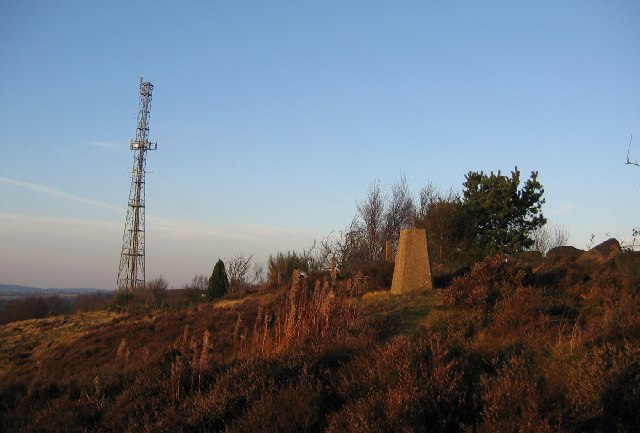
Marshes Hill is a prominent hill located in the county of Staffordshire, England. Situated in the Cannock Chase Area of Outstanding Natural Beauty, it forms part of the Cannock Chase ridge, which stretches from Hednesford to Rugeley. Standing at an elevation of 237 meters (778 feet), Marshes Hill offers breathtaking panoramic views of the surrounding countryside.
The hill is predominantly covered in heather and gorse, giving it a distinct purple hue during the summer months. Its unique flora and fauna make it an important habitat for a variety of wildlife, including rare species such as nightjars and adders. The area is also home to numerous species of birds, making it a popular spot for birdwatchers.
Marshes Hill has a rich cultural history, with evidence of human activity dating back to the Bronze Age. Traces of ancient settlements and burial mounds can be found on its slopes, adding to its archaeological significance. The hill also played a crucial role during World War II when it housed anti-aircraft guns and was used as a lookout point to defend against potential enemy attacks.
Today, Marshes Hill is a favorite destination for outdoor enthusiasts and nature lovers. It offers several walking paths and trails, allowing visitors to explore its scenic beauty and discover its historical treasures. The hill's location within the Cannock Chase Area of Outstanding Natural Beauty ensures its protection and preservation for generations to come.
If you have any feedback on the listing, please let us know in the comments section below.
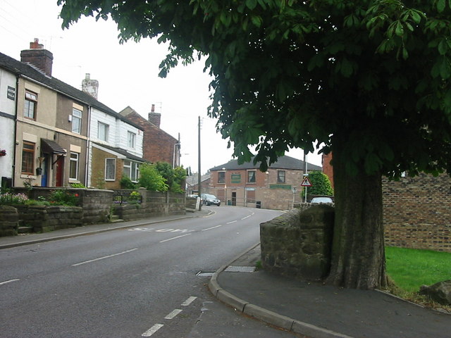
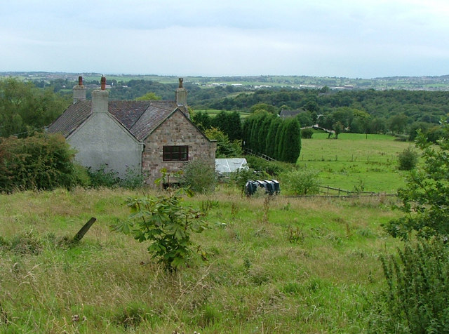
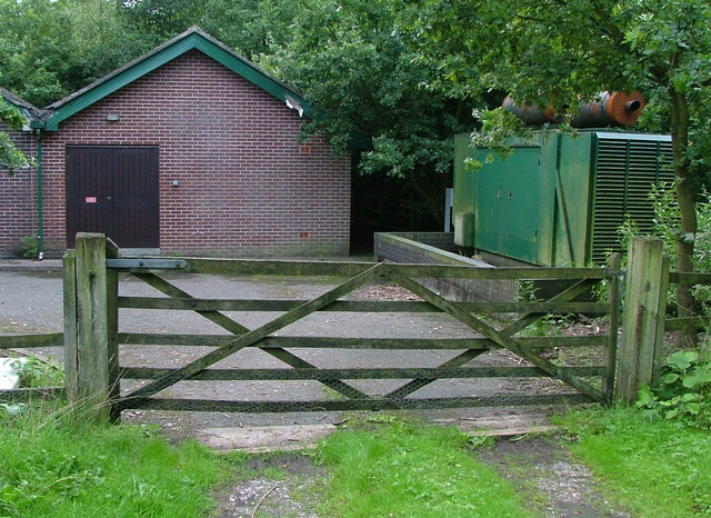
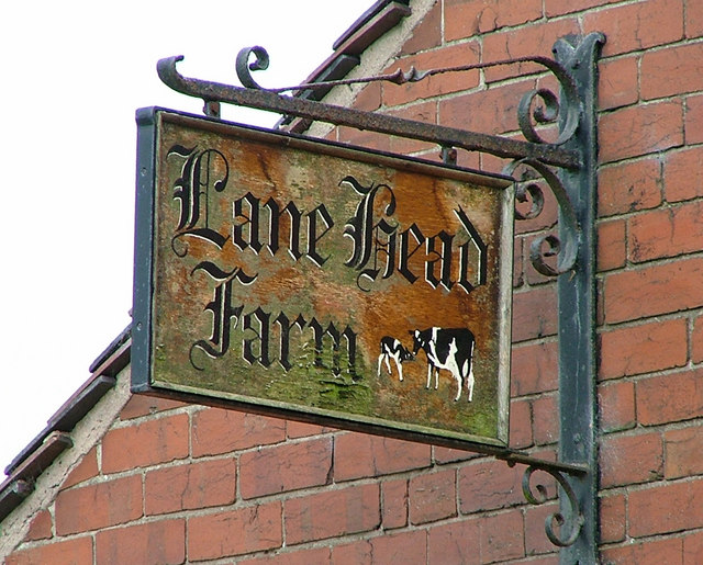
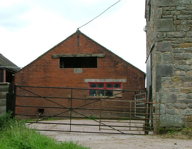
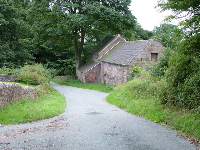
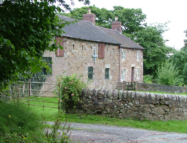
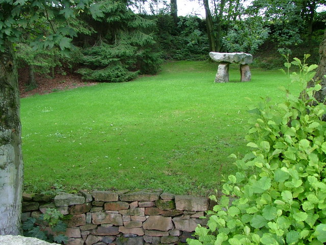
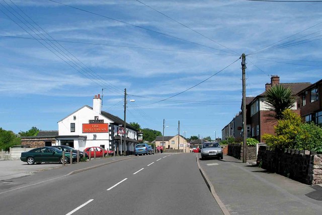
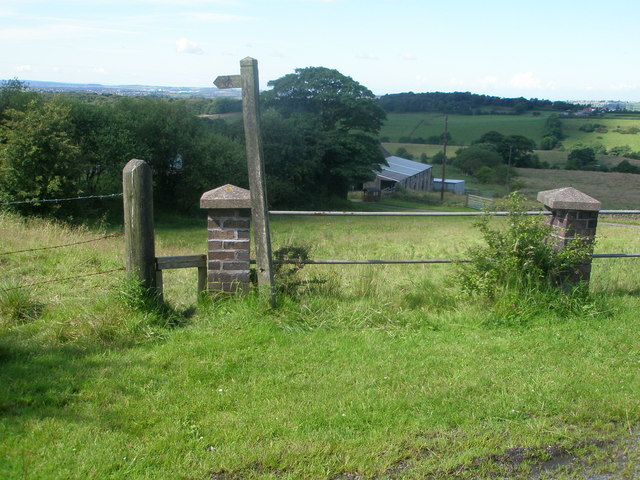
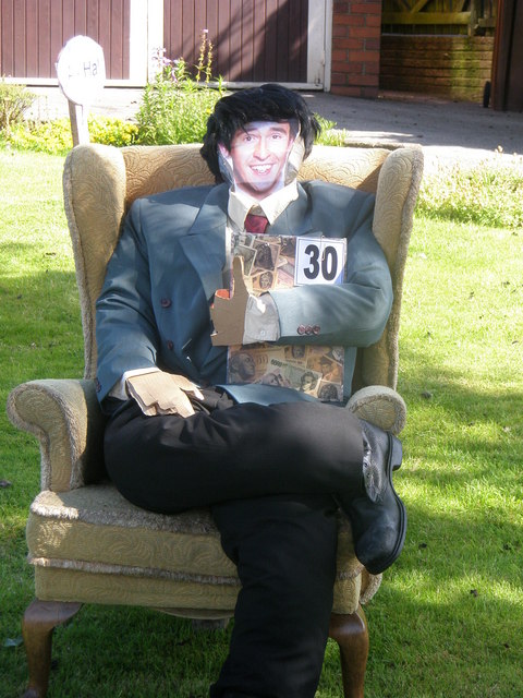
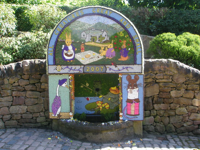
Marshes Hill Images
Images are sourced within 2km of 53.089581/-2.1420158 or Grid Reference SJ9054. Thanks to Geograph Open Source API. All images are credited.

Marshes Hill is located at Grid Ref: SJ9054 (Lat: 53.089581, Lng: -2.1420158)
Administrative County: Staffordshire
District: Staffordshire Moorlands
Police Authority: Staffordshire
What 3 Words
///validated.backs.wedge. Near Biddulph, Staffordshire
Nearby Locations
Related Wikis
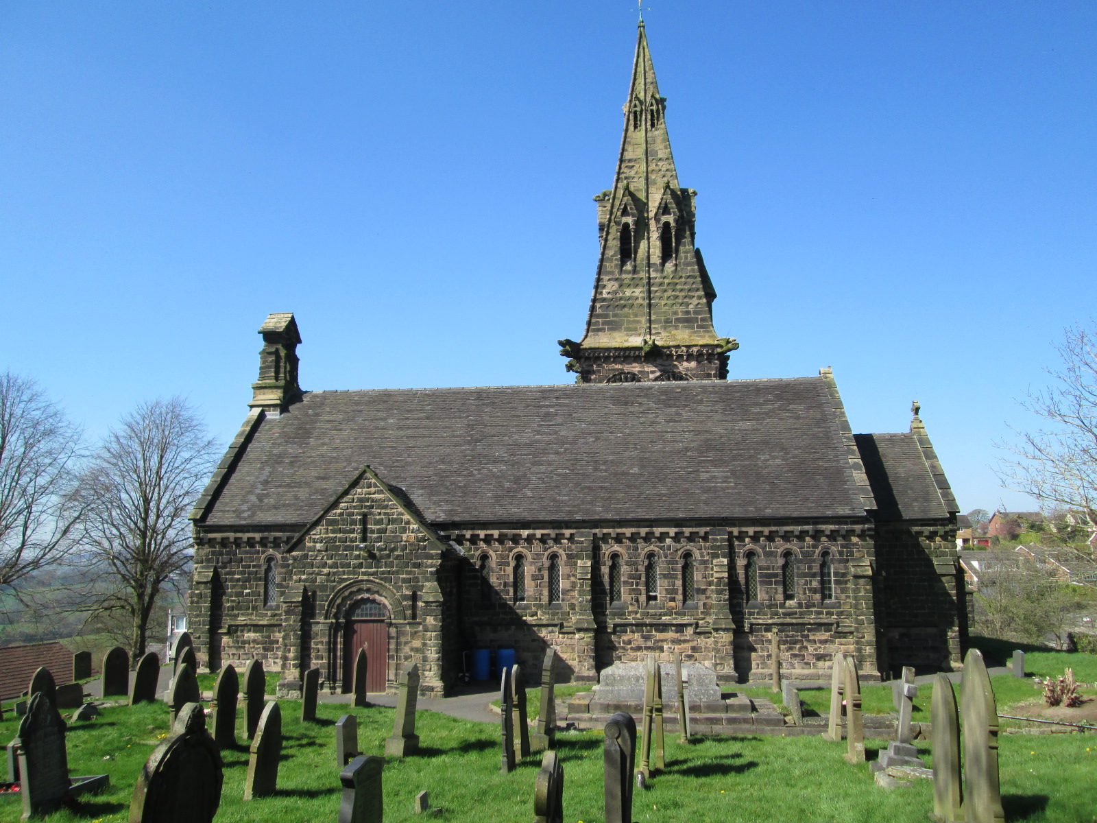
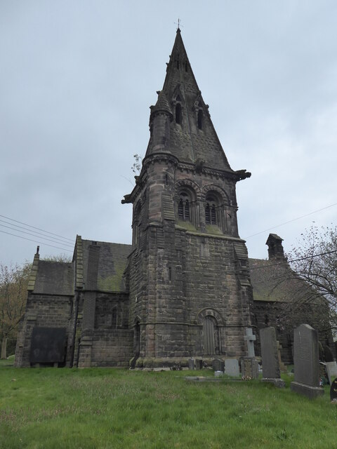
St Anne's Church, Brown Edge
St Anne's Church is an Anglican church in Brown Edge, Staffordshire, England, and in the Diocese of Lichfield. The building is Grade II listed. == History... ==

Knypersley Reservoir
Knypersley Reservoir near Biddulph, Staffordshire, England, was built in 1827 to supply water to the Caldon Canal, along with two others at Stanley Pool...

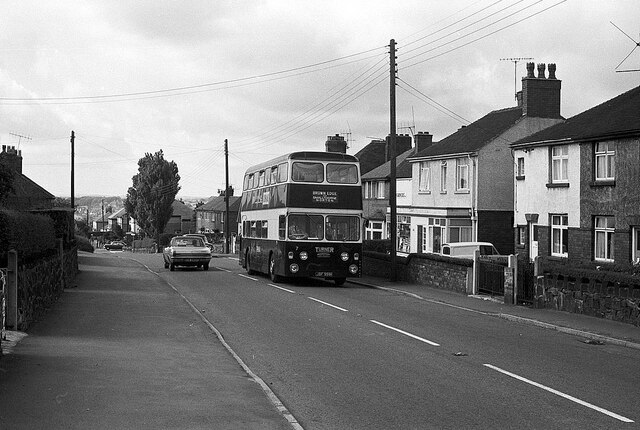
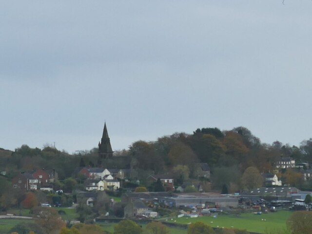
Brown Edge
Brown Edge is a village and civil parish in the Staffordshire Moorlands district of Staffordshire, England. According to the 2001 census it had a population...

Ridgeway, Staffordshire
Ridgeway is a hamlet on the boundary of Brown Edge and Stoke-on-Trent in Staffordshire, England. == References ==

Endon
Endon is a village within the Staffordshire Moorlands district of Staffordshire, England. It is 4 miles (6.4 km) southwest of Leek and 6 miles (9.7 km...
St Luke's Church, Endon
St Luke's Church is an Anglican church in Endon, Staffordshire, England, and in the Diocese of Lichfield. The building, dating originally from about 1720...
Endon High School
Endon High School is a coeducational secondary school located in Endon in the English county of Staffordshire.Endon Hall Primary School and St Lukes CE...
Biddulph High School
Biddulph High School is a mixed upper school (termed 'high school') and sixth form located in the Knypersley area of Biddulph in the English county of...
Nearby Amenities
Located within 500m of 53.089581,-2.1420158Have you been to Marshes Hill?
Leave your review of Marshes Hill below (or comments, questions and feedback).