Highlands Village

Settlement in Middlesex

England

Highlands Village

Storm Clouds over Oakwood Park
Storm Clouds over Oakwood Park Credit: Christine Matthews

Highlands Village is a small residential area located in the London Borough of Enfield, Middlesex, England. Situated in the northern part of the borough, it is bordered by the A406 North Circular Road to the north and the A10 Great Cambridge Road to the west. The village is part of the larger Enfield Chase ward.

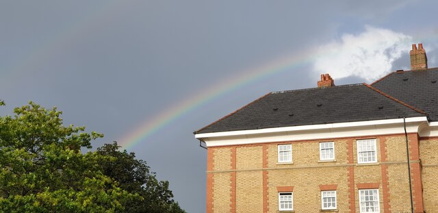
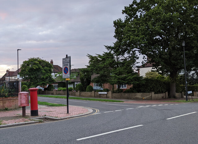
The area is primarily residential, consisting mainly of modern housing developments and apartment complexes. It is known for its family-friendly atmosphere and peaceful surroundings, with many green spaces and parks dotted throughout the neighborhood. The properties in Highlands Village range from spacious detached houses to more compact townhouses and apartments, catering to a diverse range of residents.

Residents of Highlands Village benefit from its convenient location, with easy access to nearby amenities and transport links. The neighboring Sainsbury's superstore provides a convenient shopping option, while the nearby Enfield Town offers a wider range of retail and leisure facilities. The area is well-connected by public transportation, with several bus routes serving the village, and the nearby Southbury and Turkey Street railway stations providing direct links to central London.

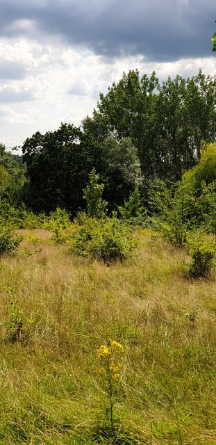
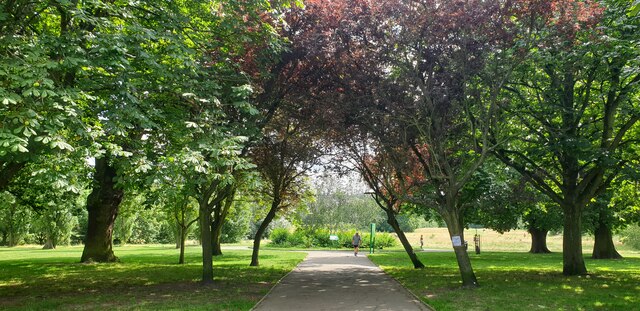
Education is well-catered for in Highlands Village, with a number of primary and secondary schools located within the vicinity. The area also boasts several green spaces, including the nearby Albany Park and the King George V Playing Fields, providing residents with opportunities for outdoor activities and leisurely walks.

Overall, Highlands Village offers a pleasant and convenient residential environment, making it an attractive place to live for families and professionals alike.

If you have any feedback on the listing, please let us know in the comments section below.

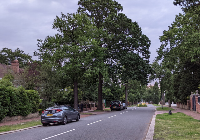
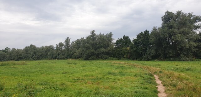
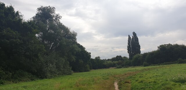
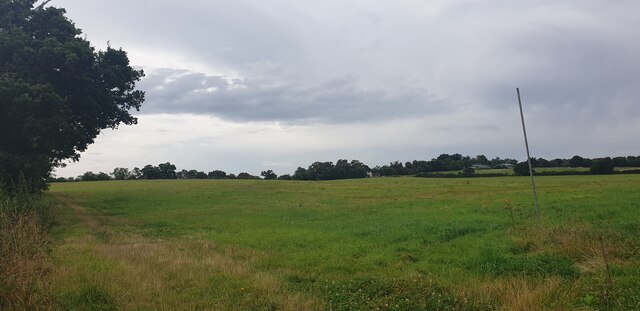
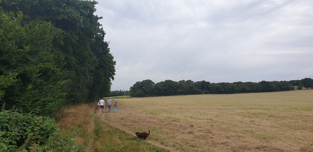
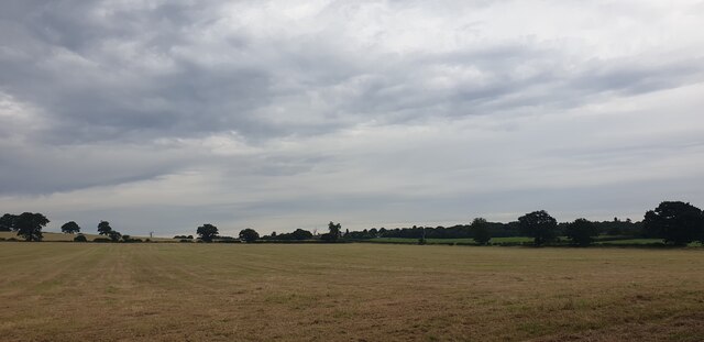
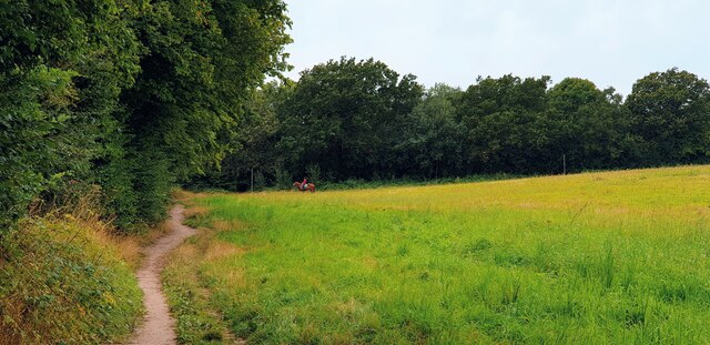
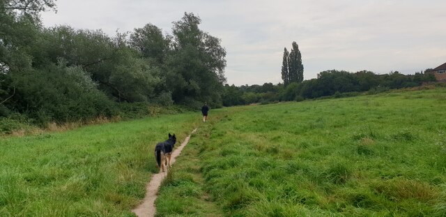
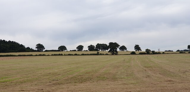
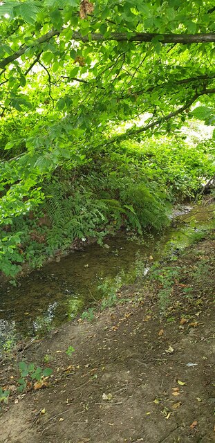
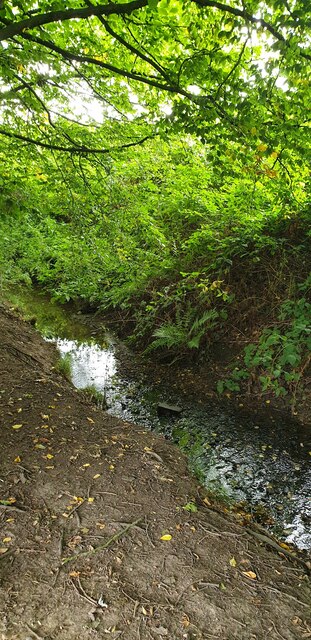
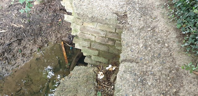
Highlands Village Images

Images are sourced within 2km of 51.645065/-0.1109723 or Grid Reference TQ3095. Thanks to Geograph Open Source API. All images are credited.

Storm Clouds over Oakwood Park
Rewilding of Oakwood Park Ragwort and long grass in the park.
Rewilding of Oakwood Park
Ragwort and long grass in the park.
Prince George Avenue Entrance of Oakwood Park I liked the walker drawing attention to the centre of the image.
Prince George Avenue Entrance of Oakwood Park
I liked the walker drawing attention to the centre of the image.
Rainbow at Highlands Village Seen from the Sainsbury's Car Park.
Rainbow at Highlands Village
Seen from the Sainsbury's Car Park.
The corner of Broad Walk and Seaforth Gardens
On Broad Walk looking towards the mini-roundabout at the junction with Woodcroft
Merryhills Way, Enfield A public footpath near Trent Park, accessed from Trentwood Side.
Merryhills Way, Enfield
A public footpath near Trent Park, accessed from Trentwood Side.
Merryhills Way, Enfield A public footpath near Trent Park, accessed from Trentwood Side.
Merryhills Way, Enfield
A public footpath near Trent Park, accessed from Trentwood Side.
Merryhills Way, Enfield A public footpath near Trent Park, accessed from Trentwood Side.
Merryhills Way, Enfield
A public footpath near Trent Park, accessed from Trentwood Side.
Merryhills Way, Enfield Footpath towards Trent Park accessed from Trentwood Side, Enfield.
Merryhills Way, Enfield
Footpath towards Trent Park accessed from Trentwood Side, Enfield.
Merryhills Way, Enfield A public footpath near Trent Park, accessed from Trentwood Side.
Merryhills Way, Enfield
A public footpath near Trent Park, accessed from Trentwood Side.
Merryhills Way, Enfield Walking along the Merryhills Way between Trentwood Side and Trent Park.
Merryhills Way, Enfield
Walking along the Merryhills Way between Trentwood Side and Trent Park.
Merryhills Way, Enfield Walking along the Merryhills Way between Trentwood Side and Trent Park.
Merryhills Way, Enfield
Walking along the Merryhills Way between Trentwood Side and Trent Park.
Merryhills Way, Enfield Looking north from the Merryhills Way path.
Merryhills Way, Enfield
Looking north from the Merryhills Way path.
Salmons Brook, Merryhills Way, Enfield Seen from the Merryhills Way path.
Salmons Brook, Merryhills Way, Enfield
Seen from the Merryhills Way path.
Salmons Brook, Merryhills Way, Enfield Seen from the Merryhills Way path.
Salmons Brook, Merryhills Way, Enfield
Seen from the Merryhills Way path.
Brickwork by Salmons Brook, Enfield Seen from the Merryhills Way path.
Brickwork by Salmons Brook, Enfield
Seen from the Merryhills Way path.
Salmons Brook, Enfield Seen from the Merryhills Way path.
Salmons Brook, Enfield
Seen from the Merryhills Way path.
Show me another place!

Highlands Village is located at Grid Ref: TQ3095 (Lat: 51.645065, Lng: -0.1109723)

Unitary Authority: Enfield

Police Authority: Metropolitan

What 3 Words

///remark.text.status. Near Enfield Town, London

Nearby Locations

Oakwood Highlands Village

Related Wikis

Highlands Hospital

Highlands Hospital was a hospital in Winchmore Hill, in the London Borough of Enfield which closed in 1993. The site was redeveloped for residential accommodation...

Highlands School, Grange Park

Highlands School is a comprehensive school in Grange Park, Enfield, London, England. The school opened in 2000 in new purpose-built accommodation. From...

Grange Park, Enfield

Grange Park is a suburban part of Greater London in the London Borough of Enfield, United Kingdom. It is served by Grange Park railway station. Grange...
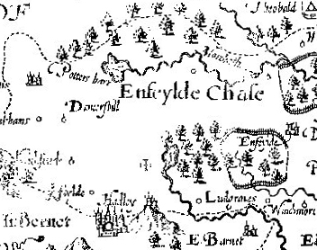
Enfield Old Park

Enfield Old Park was an ancient deer park located in Enfield. It is mentioned in the Domesday Book. The Domesday Book mentions only one other Park in Middlesex...

Nearby Amenities

Located within 500m of 51.645065,-0.1109723
Ele: 35.213745
Lat/Long: 51.6478301/-0.1092366
Ele: 40.981567
Lat/Long: 51.6469243/-0.1089934
Mini Roundabout
Direction: clockwise
Ele: 42.42
Source: local knowledge
Lat/Long: 51.6450468/-0.1095291
Mini Roundabout
Ele: 41.942871
Fixme: central bollard? if so, is small roundabout, map with circle, not mini. but note bus routes to maintain
Lat/Long: 51.6439835/-0.1094783
Ele: 41.462158
Lat/Long: 51.6423232/-0.1117621
Ele: 53.959351
Lat/Long: 51.643517/-0.1115383
Ele: 52.997925
Lat/Long: 51.6435734/-0.1101857
Ele: 54.439941
Lat/Long: 51.6439366/-0.1092443
Ele: 52.517334
Lat/Long: 51.6438361/-0.1090568
Ele: 51.567871
Lat/Long: 51.6493548/-0.1131025
Mini Roundabout
Direction: clockwise
Lat/Long: 51.6450686/-0.1109013
Crossing: informal
Lat/Long: 51.6465694/-0.1127588
Traffic Calming: hump
Lat/Long: 51.6451249/-0.1169062
Traffic Calming: hump
Lat/Long: 51.6466339/-0.1167663
Ref GB Tflcid: RWG145205
Traffic Calming: yes
Lat/Long: 51.647559/-0.1117282
Ref GB Tflcid: RWG145203
Traffic Calming: hump
Lat/Long: 51.647271/-0.1116761
Traffic Calming: cushion
Lat/Long: 51.6447849/-0.1109303
Ref GB Tflcid: RWG147350
Traffic Calming: table
Lat/Long: 51.6474312/-0.113918
Mini Roundabout
Lat/Long: 51.6484551/-0.1092264
Created By: YahooApplet 1.0
Lat/Long: 51.6457626/-0.1107552
Created By: YahooApplet 1.0
Lat/Long: 51.6466544/-0.110093
Created By: YahooApplet 1.0
Lat/Long: 51.6468408/-0.109696
Created By: YahooApplet 1.0
Lat/Long: 51.6469407/-0.1104148
Created By: YahooApplet 1.0
Lat/Long: 51.6463598/-0.112747
Entrance: main
Lat/Long: 51.6436182/-0.1149884
Mini Roundabout
Lat/Long: 51.646398/-0.1092947
Post Box
Postal Code: N21 1R
Ref: N21 32
Lat/Long: 51.6439925/-0.1054504
Post Box
Postal Code: N21 1
Ref: N21 6
Lat/Long: 51.6454684/-0.1094708
Post Box
Post Box Type: pillar
Postal Code: N21 1PG
Ref: N21 34
Lat/Long: 51.6437656/-0.1133735
Post Box
Postal Code: N21 1N
Ref: N21 28
Lat/Long: 51.6414112/-0.1116541
Bus Stop
Rutherford Court
Naptan AtcoCode: 490003590W
Naptan Bearing: W
Naptan CommonName: Rutherford Court
Naptan Indicator: Stop
Naptan Street: NEWSHOLME AVENUE
Naptan Verified: no
Public Transport: platform
Ref: 55511
Lat/Long: 51.6443426/-0.1124706
Bus Stop
Chaseville Park Road
Naptan AtcoCode: 490005042S
Naptan Bearing: N
Naptan CommonName: Chaseville Park Road
Naptan Street: EVERSLEY PARK ROAD
Naptan Verified: no
Public Transport: platform
Ref: 54114
Lat/Long: 51.6429219/-0.1109184
Bus Stop
Hail & Ride Chiltern Dene
Bench: no
Bin: no
Lit: yes
Naptan AtcoCode: 490005163E
Naptan Bearing: E
Naptan CommonName: Chiltern Dene
Naptan Indicator: Stop
Naptan Verified: no
Public Transport: platform
Shelter: no
Tactile Paving: no
Lat/Long: 51.6494065/-0.1106968
Bus Stop
Hail & Ride Chiltern Dene
Bench: no
Bin: no
Lit: yes
Naptan AtcoCode: 490005163W
Naptan Bearing: N
Naptan CommonName: Chiltern Dene
Naptan Verified: no
Public Transport: platform
Shelter: no
Tactile Paving: no
Lat/Long: 51.6492991/-0.1108678
Bus Stop
Eversley Mount
Naptan AtcoCode: 490006672N
Naptan Bearing: N
Naptan CommonName: Eversley Mount
Naptan Street: EVERSLEY PARK ROAD
Naptan Verified: no
Public Transport: platform
Ref: 53747
Lat/Long: 51.6419046/-0.1118215
Bus Stop
Eversley Mount
Naptan AtcoCode: 490006672S
Naptan Bearing: N
Naptan CommonName: Eversley Mount
Naptan Street: EVERSLEY PARK ROAD
Naptan Verified: no
Public Transport: platform
Ref: 74609
Lat/Long: 51.6408936/-0.1113808
Bus Stop
Highlands Avenue
Bench: yes
Bin: no
Lit: yes
Naptan AtcoCode: 490008169N
Naptan Bearing: N
Naptan CommonName: Highlands Avenue
Naptan Street: WORLDS END LANE
Naptan Verified: no
Public Transport: platform
Ref: 54784
Shelter: yes
Tactile Paving: no
Lat/Long: 51.6447404/-0.1095692
Bus Stop
Eversley Park Road
Bench: yes
Bin: yes
Lit: yes
Naptan AtcoCode: 490008170E
Naptan Bearing: N
Naptan CommonName: Eversley Park Road
Naptan Street: GREEN DRAGON LANE
Naptan Verified: no
Public Transport: platform
Ref: 48332
Shelter: yes
Tactile Paving: no
Lat/Long: 51.6437448/-0.1088228
Bus Stop
Eversley Park Road
Naptan AtcoCode: 490008170W
Naptan Bearing: N
Naptan CommonName: Eversley Park Road
Naptan Street: GREEN DRAGON LANE
Naptan Verified: no
Public Transport: platform
Ref: 72507
Lat/Long: 51.6431989/-0.1081067
Bus Stop
Blackwell Close
Naptan AtcoCode: 490008172W
Naptan Bearing: W
Naptan CommonName: Blackwell Close
Naptan Indicator: Stop
Naptan Street: PENNINGTON DRIVE
Naptan Verified: no
Public Transport: platform
Ref: 47646
Lat/Long: 51.6448565/-0.1153221
Bus Stop
Hail & Ride Vera Avenue
Naptan AtcoCode: 490014024W
Naptan Bearing: W
Naptan CommonName: Vera Avenue
Naptan Verified: no
Physically Present: no
Public Transport: platform
Lat/Long: 51.6436574/-0.1049827
Bus Stop
Tresilian Avenue
Bench: no
Bin: no
Lit: yes
Naptan AtcoCode: 490016699W
Naptan Bearing: SE
Naptan CommonName: Pennington Drive
Naptan Indicator: Stop
Naptan Verified: no
Public Transport: platform
Ref: 51081
Shelter: no
Tactile Paving: no
Lat/Long: 51.6461164/-0.114564
Bus Stop
Hail & Ride Cadogan Gardens
Naptan AtcoCode: 490018725W
Naptan Bearing: W
Naptan CommonName: Cadogan GdnsGreen Dragon Ln
Naptan Indicator: Stop
Naptan Verified: no
Physically Present: no
Public Transport: platform
Lat/Long: 51.6433226/-0.1071201
Bus Stop
Highlands Avenue Sainsbury's
Naptan AtcoCode: 490016786W
Naptan Bearing: W
Naptan CommonName: Highlands Village Sainsbury's
Naptan Indicator: Stop
Naptan Verified: no
Public Transport: platform
Ref: 72194
Lat/Long: 51.6449881/-0.1103012
Recycling
Lat/Long: 51.6453316/-0.1106932
Atm
Cash In: no
Check Date: 2023-07-30
Operator: Sainsburys
Lat/Long: 51.6457753/-0.1107423
Bench
Lat/Long: 51.6454454/-0.1065078
Post Box
Collection Times: Mo-Fr 09:00; Sa 07:00
Royal Cypher: GR
Lat/Long: 51.649233/-0.1092234
Traffic Calming: hump
Lat/Long: 51.6458094/-0.1170697
Traffic Calming: hump
Lat/Long: 51.6455489/-0.1171045
Bus Stop
Highlands Village / Elizabeth Lodge
Bench: yes
Bin: yes
Bus: yes
Departures Board: timetable
Lit: yes
Naptan AtcoCode: 490008171E
Naptan Bearing: W
Naptan CommonName: Highlands Village / Elizabeth Lodge
Naptan Indicator: Stop
Naptan Street: Pennington Drive
Naptan Verified: no
Public Transport: platform
Ref: 71868
Shelter: yes
Tactile Paving: no
Lat/Long: 51.6455306/-0.1171683
Traffic Calming: hump
Lat/Long: 51.6460986/-0.116821
Traffic Calming: cushion
Lat/Long: 51.6443918/-0.1108978
Traffic Calming: hump
Lat/Long: 51.6442339/-0.1114697
Mini Roundabout
Lat/Long: 51.6483777/-0.1085588
Entrance: main
Lat/Long: 51.6433893/-0.116018
Cafe
Cafe Venezia
Lat/Long: 51.6438006/-0.1133851
Post Office
Chaseville Parade Post Office
Addr City: London
Addr Country: GB
Addr Postcode: N21 1PG
Brand: Post Office
Brand Wikidata: Q1783168
Contact Website: https://www.postoffice.co.uk/branch-finder/1750046/chaseville-parade
Ref Pol Id: 19350
Lat/Long: 51.6438059/-0.1134782
Crossing
Crossing: unmarked
Crossing Island: no
Tactile Paving: yes
Lat/Long: 51.643189/-0.1076889
Crossing
Crossing: unmarked
Lat/Long: 51.6430483/-0.1076723
Bicycle Parking
Bicycle Parking: stands
Capacity: 4
Lat/Long: 51.6437294/-0.1128205
Bicycle Parking
Bicycle Parking: stands
Capacity: 4
Covered: no
Lat/Long: 51.6437728/-0.1135923
Bicycle Parking
Bicycle Parking: stands
Capacity: 20
Lat/Long: 51.6456052/-0.110453
Bicycle Parking
Capacity: 4
Fixme: Check bike parking type
Lat/Long: 51.6461195/-0.1111348
Bicycle Parking
Bicycle Parking: stands
Capacity: 4
Covered: no
Lat/Long: 51.6437499/-0.1132243
Bicycle Parking
Bicycle Parking: stands
Capacity: 10
Covered: no
Lat/Long: 51.6457551/-0.1107299
Traffic Calming: cushion
Lat/Long: 51.6462821/-0.1137024
Traffic Calming: cushion
Lat/Long: 51.646542/-0.1131316
Traffic Calming: cushion
Lat/Long: 51.6442875/-0.1119935
Traffic Calming: cushion
Lat/Long: 51.6465994/-0.1118366
Traffic Calming: cushion
Lat/Long: 51.6465927/-0.1111066
Traffic Calming: hump
Lat/Long: 51.643747/-0.1158017
Traffic Calming: hump
Lat/Long: 51.644919/-0.1145165
Traffic Calming: hump
Lat/Long: 51.6448492/-0.1135339
Traffic Calming: hump
Lat/Long: 51.6449185/-0.1152301
Traffic Calming: hump
Lat/Long: 51.6462508/-0.1120534
Traffic Calming: hump
Lat/Long: 51.646751/-0.1159729
Traffic Calming: hump
Lat/Long: 51.6448354/-0.1159859
Traffic Calming: hump
Lat/Long: 51.6449104/-0.116475
Traffic Calming: hump
Lat/Long: 51.6463377/-0.1162009
Traffic Calming: hump
Lat/Long: 51.6462152/-0.1149713
Traffic Calming: hump
Lat/Long: 51.646335/-0.1154876
Traffic Calming: hump
Lat/Long: 51.64476/-0.1142284
Traffic Calming: hump
Lat/Long: 51.6456697/-0.1171028
Bus Stop
Highlands Avenue
Bench: yes
Bin: yes
Naptan AtcoCode: 490008169S
Public Transport: platform
Ref: 58478
Shelter: yes
Tactile Paving: no
Lat/Long: 51.6451518/-0.1093664
Ref GB Tflcid: RWG145192
Traffic Calming: yes
Lat/Long: 51.6450233/-0.1161596
Ref GB Tflcid: RWG145190
Traffic Calming: hump
Lat/Long: 51.6449053/-0.1168444
Traffic Calming: island
Lat/Long: 51.6436171/-0.1135619
Traffic Calming: hump
Lat/Long: 51.6447122/-0.1156115
Bus Stop
Bench: yes
Bin: no
Bus: yes
Public Transport: platform
Shelter: yes
Tactile Paving: no
Lat/Long: 51.6444601/-0.1095876
Bicycle: yes
Information: guidepost
Tourism: information
Lat/Long: 51.6439839/-0.1054399
Give Way
Direction: forward
Lat/Long: 51.6438956/-0.1055147
Bench
Lat/Long: 51.6446198/-0.1115377
Fast Food
Chaseville Fish & Chips
Cuisine: fish_and_chips
Lat/Long: 51.6438233/-0.1137377
Restaurant
Village Tandoori
Cuisine: indian
Website: https://www.villagetandoorin21.com/index.html
Lat/Long: 51.6438191/-0.1136553
Vas' Barbers
Shop: hairdresser
Website: https://www.vasbarbers.co.uk/
Lat/Long: 51.6438114/-0.1135447
Crossing
Crossing: marked
Tactile Paving: yes
Lat/Long: 51.6489983/-0.1083357
Crossing
Crossing: marked
Tactile Paving: yes
Lat/Long: 51.649028/-0.108578
Bench
Lat/Long: 51.6446118/-0.1098618
Bench
Lat/Long: 51.6445863/-0.1098466
Shelter
Shelter Type: picnic_shelter
Lat/Long: 51.6433759/-0.1145216
Waste Basket
Lat/Long: 51.6464733/-0.109513
Bench
Lat/Long: 51.6460773/-0.1143421
The data included in this document is from www.openstreetmap.org. The data is made available under ODbL.

Have you been to Highlands Village?

Leave your review of Highlands Village below (or comments, questions and feedback).