Oakwood
Settlement in Middlesex
England
Oakwood
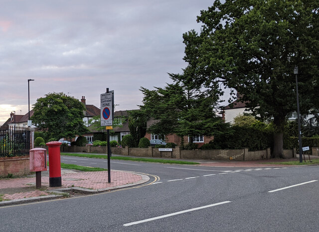
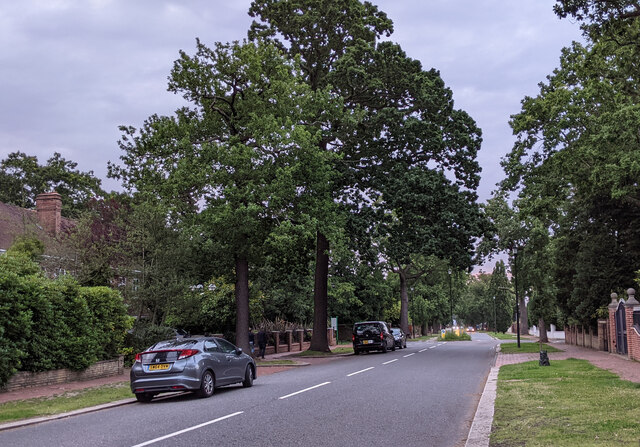
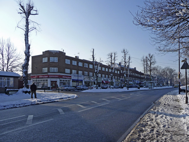
Oakwood is a suburban area located in the London Borough of Enfield, Middlesex, England. Situated approximately 11 miles north of central London, Oakwood falls within the Greater London area. It is bordered by Southgate to the west, Enfield Chase to the north, and Cockfosters to the east. The area is primarily residential, characterized by tree-lined streets and a tranquil atmosphere.
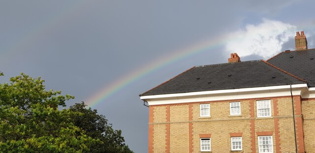
Oakwood is known for its attractive housing, which mainly consists of semidetached and detached properties, many of which were built in the 1930s. The area offers a mix of architectural styles, including mock Tudor, Art Deco, and modern designs. The properties are set on well-maintained gardens, providing a pleasant aesthetic throughout the neighborhood.
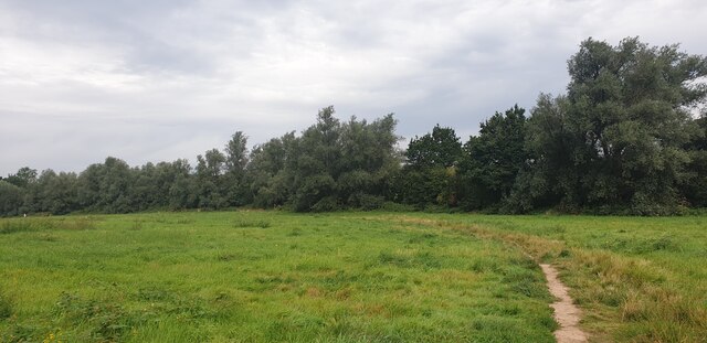
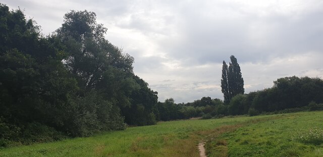
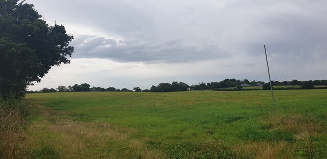
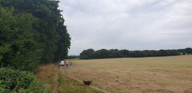
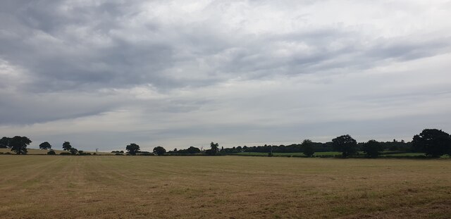
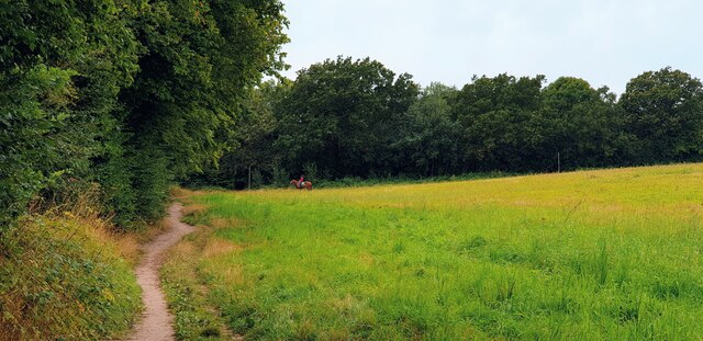
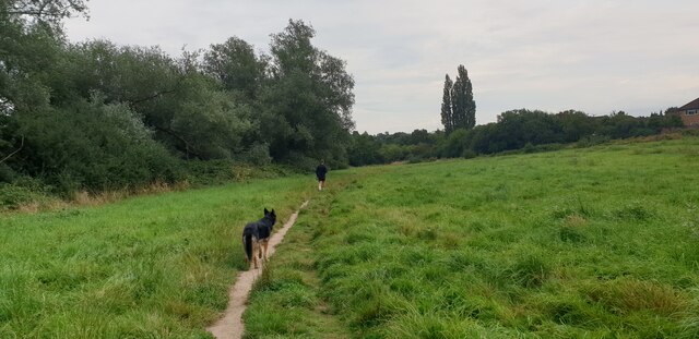
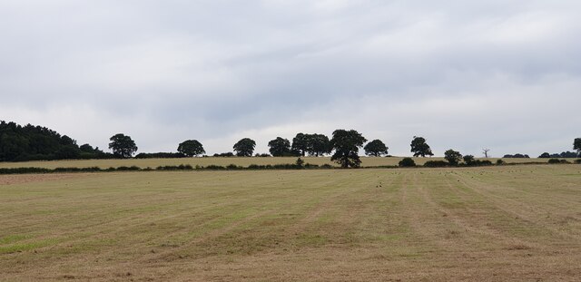
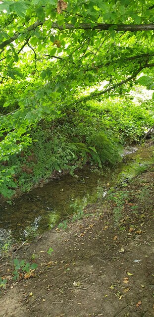
The area benefits from numerous green spaces, including Trent Country Park and Grovelands Park, both of which are within easy reach. These parks offer residents ample opportunities for outdoor activities, such as walking, jogging, and picnicking. Oakwood is also home to Oakwood Park, a smaller local park that provides a recreational space for residents.
Transport links are excellent in Oakwood, with Oakwood tube station providing access to the Piccadilly line, connecting residents to central London and beyond. The area is also served by several bus routes, ensuring convenient transportation options.
Oakwood offers a range of amenities, including a variety of shops, restaurants, and cafes. The area is served by a number of schools, making it an attractive location for families. Overall, Oakwood provides a comfortable and peaceful residential environment within easy reach of the capital city.
If you have any feedback on the listing, please let us know in the comments section below.
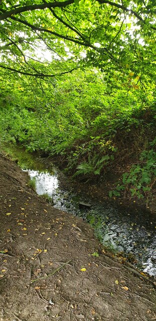
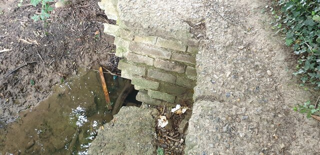
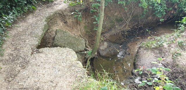
Oakwood Images
Images are sourced within 2km of 51.643686/-0.12259234 or Grid Reference TQ3095. Thanks to Geograph Open Source API. All images are credited.


Oakwood is located at Grid Ref: TQ3095 (Lat: 51.643686, Lng: -0.12259234)
Unitary Authority: Enfield
Police Authority: Metropolitan
What 3 Words
///forces.nation.slice. Near Enfield Town, London
Nearby Locations
Related Wikis

Oakwood Park, Enfield
Oakwood Park is a public park in Oakwood, in the London Borough of Enfield, on land that was formerly part of Enfield Chase. It opened in 1929 and comprises...
Oakwood, London
Oakwood is a suburban area of north London, in the London Borough of Enfield. It is situated within the Southgate postal area (London N14) and was, historically...
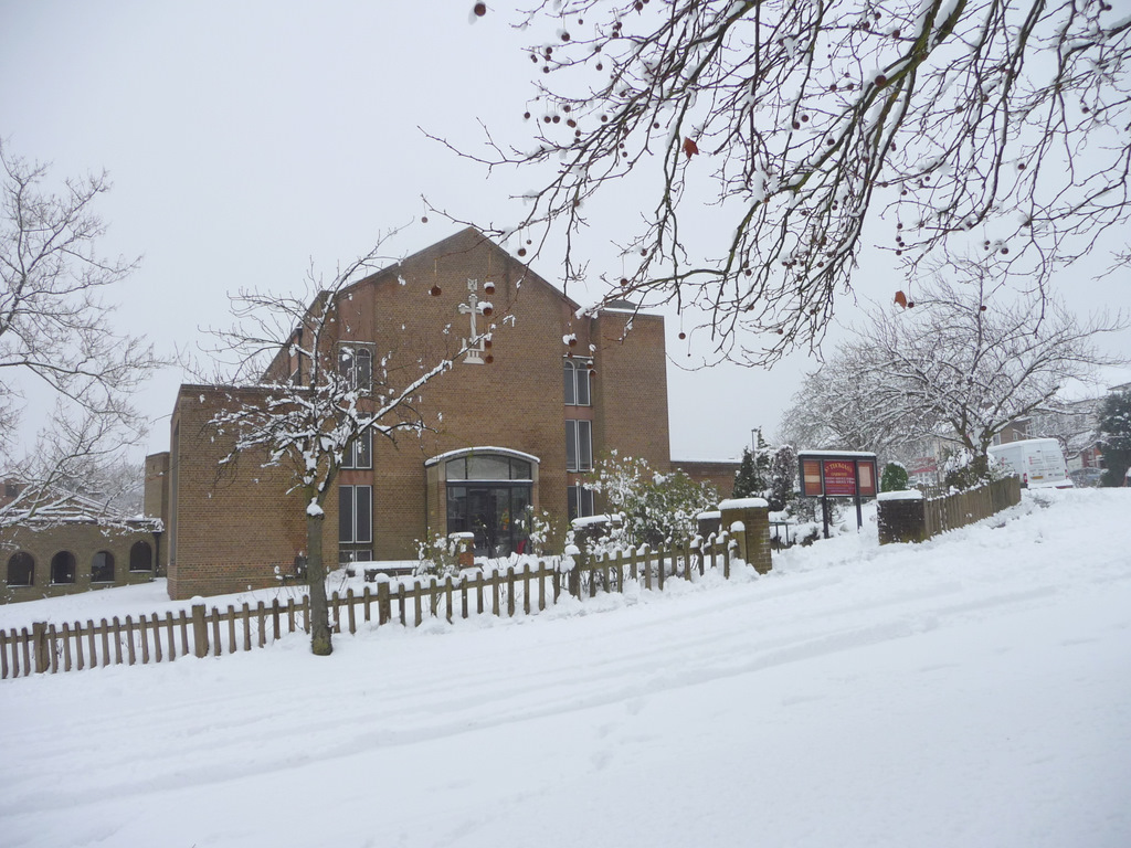
St Thomas's Church, Oakwood
St Thomas's Church, Oakwood is an Anglican church in the Enfield Deanery of the Diocese of London. It is located in Prince George Avenue in the Oakwood...

Enfield Southgate (UK Parliament constituency)
Enfield Southgate is a constituency in the House of Commons of the UK Parliament. It was created in 1950 as Southgate, and has been represented since 2017...
Related Videos

Trent Country Park and Enfield Chase walk | Drone 4K | 🇬🇧 Hiking UK | England
Parkland of a former country estate Travel: Piccadilly line underground trains run frequently to Cockfosters, which is in Travel card ...

Trent Country Park and Enfield Chase walk | 4K | Drone | 🇬🇧 Hiking UK | England
Parkland of a former country estate Trent Country Park comprises 413-acres of varied woodlands, lakes, meadows and other ...
![Walking in London: Trent Country Park in Autumn 2020 (Part 2) [4K]](https://i.ytimg.com/vi/d6pNIkzGtGM/hqdefault.jpg)
Walking in London: Trent Country Park in Autumn 2020 (Part 2) [4K]
A walk in Trent Country Park in London Borough of Enfield. 0:00 George Grey, Earl of Harold Memorial-Obelisk 31:57 Japanese ...
![Walking in London: Trent Country Park in Autumn 2020 (Part 1) [4K]](https://i.ytimg.com/vi/UfJLq2xXNF0/hqdefault.jpg)
Walking in London: Trent Country Park in Autumn 2020 (Part 1) [4K]
A walk in Trent Country Park in London Borough of Enfield. Wikipedia: https://en.wikipedia.org/wiki/Trent_Park 36:49 Camlet Moat ...
Nearby Amenities
Located within 500m of 51.643686,-0.12259234Have you been to Oakwood?
Leave your review of Oakwood below (or comments, questions and feedback).