Higher Lovacott

Settlement in Devon North Devon

England

Higher Lovacott

Fremington: Rooty Cross Where the lane from Lovacott Green meets the B3232 Barnstaple-Torrington road. On the parish boundary with Tawstock
Fremington: Rooty Cross Credit: Martin Bodman

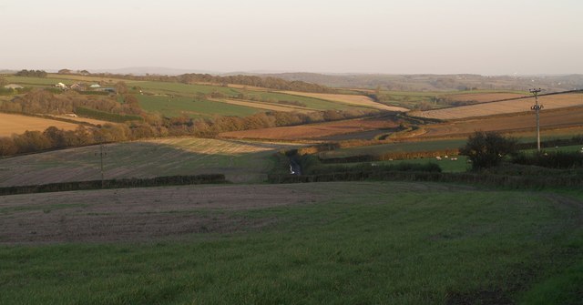
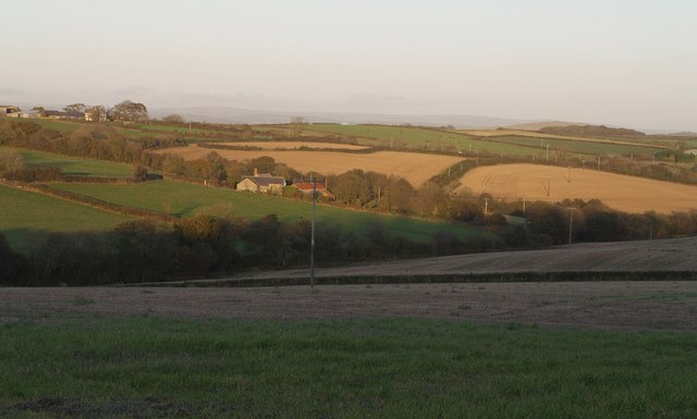
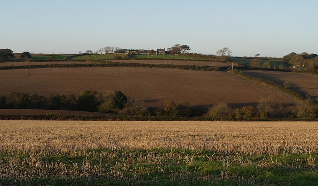
Higher Lovacott is a small rural village located in the county of Devon, England. Situated in the South West of the country, it is nestled in the picturesque countryside, surrounded by rolling hills and lush green fields. The village is part of the Torridge district and lies approximately 6 miles north of the town of Great Torrington.

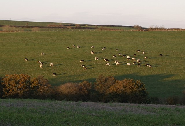
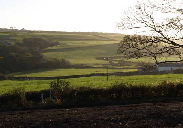
Higher Lovacott is characterized by its tranquil and idyllic setting, offering residents and visitors a peaceful retreat away from the hustle and bustle of city life. The village is primarily residential, with a small population of friendly and tight-knit community members.

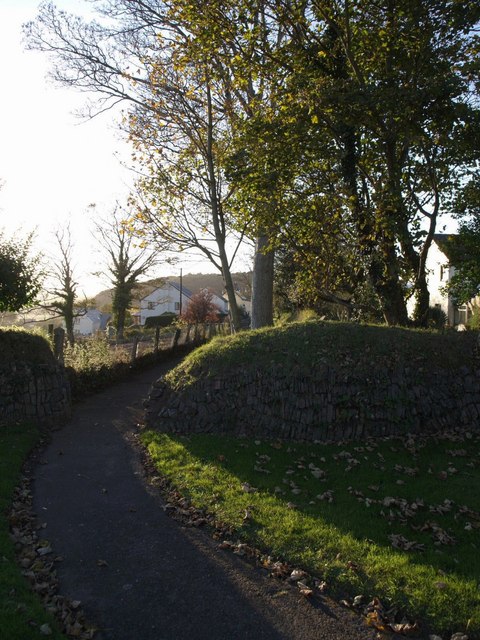
The architecture of Higher Lovacott reflects its traditional English countryside charm, with charming cottages and historic buildings dotting the landscape. The village is also known for its beautifully manicured gardens and well-maintained public spaces.

Despite its small size, Higher Lovacott benefits from its close proximity to nearby towns and cities. Great Torrington offers a wide range of amenities including shops, cafes, and schools, while the vibrant city of Exeter is approximately 40 miles away, providing access to further facilities, cultural attractions, and transportation links.

The surrounding area of Higher Lovacott is renowned for its natural beauty, offering opportunities for outdoor activities such as hiking, cycling, and horse riding. The nearby Tarka Trail, a popular walking and cycling route, provides stunning views of the surrounding countryside.

In summary, Higher Lovacott is a charming and peaceful village nestled in the beautiful Devon countryside. Its close-knit community, traditional architecture, and access to nearby amenities and natural attractions make it an attractive place to live or visit.

If you have any feedback on the listing, please let us know in the comments section below.

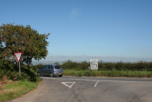
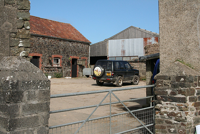
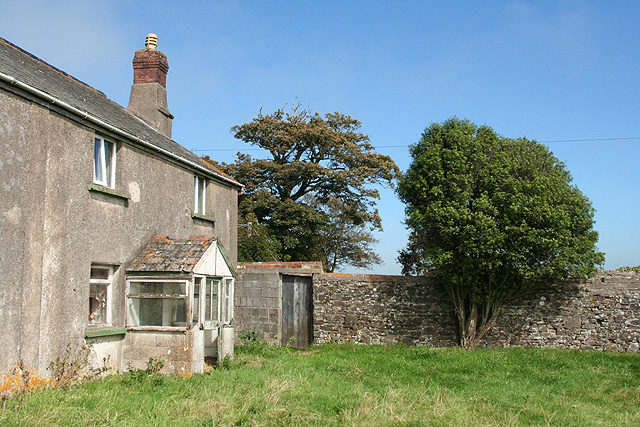
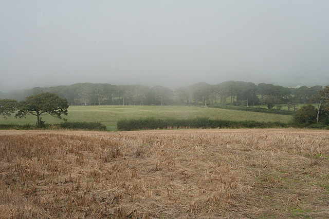
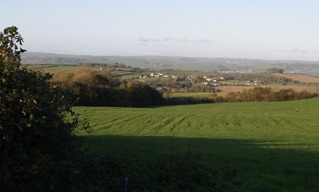
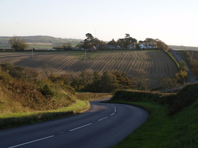
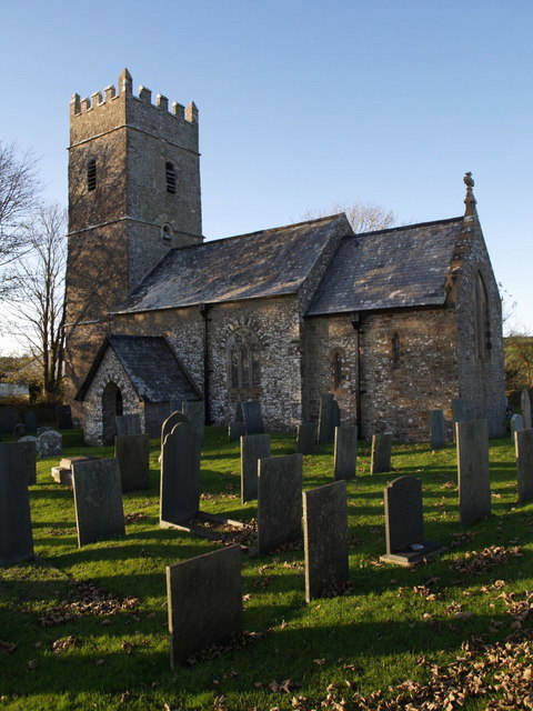
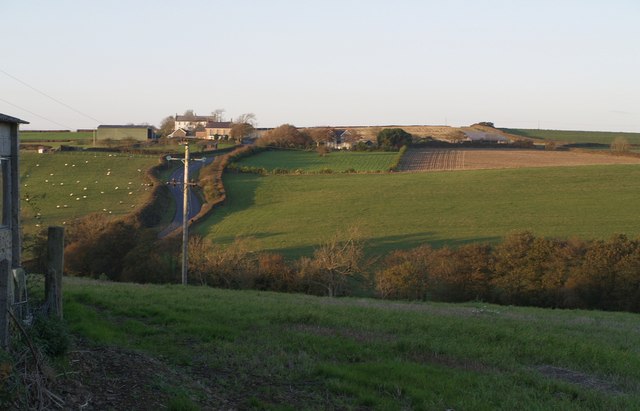
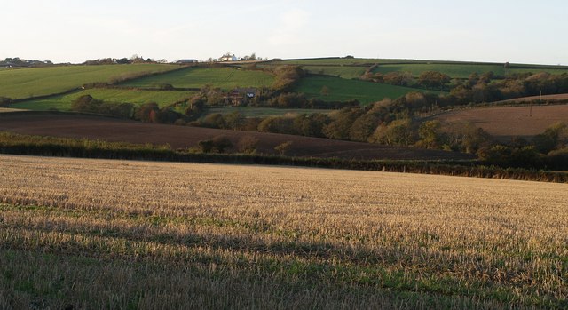
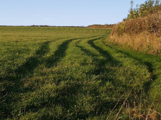
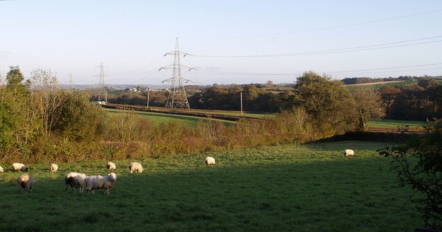
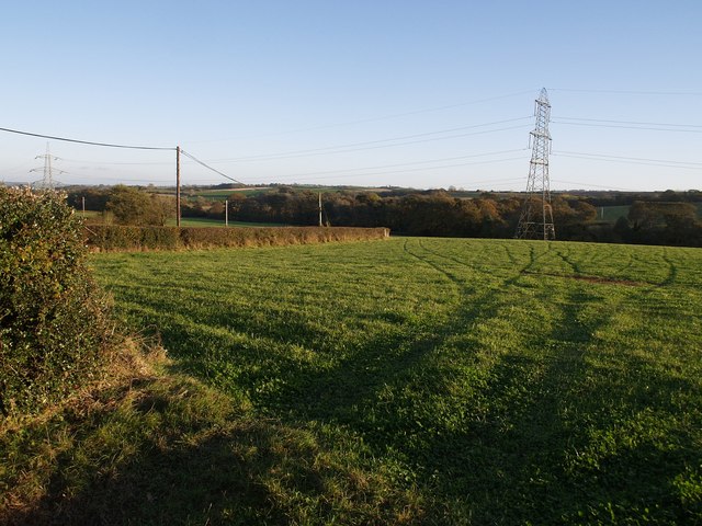
Higher Lovacott Images

Images are sourced within 2km of 51.027344/-4.1150094 or Grid Reference SS5127. Thanks to Geograph Open Source API. All images are credited.

Fremington: Rooty Cross Where the lane from Lovacott Green meets the B3232 Barnstaple-Torrington road. On the parish boundary with Tawstock
Fremington: Rooty Cross
Where the lane from Lovacott Green meets the B3232 Barnstaple-Torrington road. On the parish boundary with Tawstock
Fremington: Voscombe Farmyard seen from lane between Lovacott Green and Holmacott
Fremington: Voscombe
Farmyard seen from lane between Lovacott Green and Holmacott
Fremington: farmhouse at Voscombe
Fremington: near Holmacott A fog bank rolling in from the coast on an otherwise bright August afternoon
Fremington: near Holmacott
A fog bank rolling in from the coast on an otherwise bright August afternoon
Rooty Moor A high square with good views. Here the view is from the lane between Charlacott Cross and Prospect Corner. The patches of woodland are around the head of a valley descending north towards Stonyland.
Rooty Moor
A high square with good views. Here the view is from the lane between Charlacott Cross and Prospect Corner. The patches of woodland are around the head of a valley descending north towards Stonyland.
Belladown Hill Looking down the B3232 as it swoops across the valley of a headwater of Langham Lake and up to Newton Cross. The cluster of buildings along the ridge are on the lane from Newton Cross to Pristacott. The small building out in front of them is the telephone exchange.
Belladown Hill
Looking down the B3232 as it swoops across the valley of a headwater of Langham Lake and up to Newton Cross. The cluster of buildings along the ridge are on the lane from Newton Cross to Pristacott. The small building out in front of them is the telephone exchange.
St Thomas a Becket church, Newton Tracey "A modest church with several C13 windows" (Cherry and Pevsner). Seen across the churchyard.
St Thomas a Becket church, Newton Tracey
"A modest church with several C13 windows" (Cherry and Pevsner). Seen across the churchyard.
Belladown Hill Roughly a reverse view of <a href="https://www.geograph.org.uk/photo/599134">SS5227 : Belladown Hill</a>, taken across the valley from beside the telephone exchange on the far hill (although the building on the left is beside the exchange). This was taken about 35 minutes later, so the sun has disappeared from the field in the foreground. The B3232 climbs on the left. The buildings at the top of the hill (Belladown House and Tennacott House) are across the gridline in SS5228.
Belladown Hill
Roughly a reverse view of SS5227 : Belladown Hill, taken across the valley from beside the telephone exchange on the far hill (although the building on the left is beside the exchange). This was taken about 35 minutes later, so the sun has disappeared from the field in the foreground. The B3232 climbs on the left. The buildings at the top of the hill (Belladown House and Tennacott House) are across the gridline in SS5228.
Valley below Tennacott A view down the valley of a headwater of Langham Lake, taken from the same spot as <a href="https://www.geograph.org.uk/photo/600210">SS5227 : Belladown Hill</a>, which looks directly across the valley. <a href="https://www.geograph.org.uk/photo/599146">SS5327 : Charlacott</a> is hidden on the left; the prominent buildings are at Linscott in SS5427. On the right, the lane to Pristacott winds along the south side of the valley.
Valley below Tennacott
A view down the valley of a headwater of Langham Lake, taken from the same spot as SS5227 : Belladown Hill, which looks directly across the valley. SS5327 : Charlacott is hidden on the left; the prominent buildings are at Linscott in SS5427. On the right, the lane to Pristacott winds along the south side of the valley.
Tennacott The farm overlooks the valley shown in <a href="https://www.geograph.org.uk/photo/600224">SS5327 : Valley below Tennacott</a>. The farm buildings on the left are at (Upper) Charlacott and in <a href="https://www.geograph.org.uk/gridref/SS5328">SS5328</a>.
Tennacott
The farm overlooks the valley shown in SS5327 : Valley below Tennacott. The farm buildings on the left are at (Upper) Charlacott and in SS5328.
Cattle near Tennacott A herd of cattle cast evening shadows on a south-facing valley side; taken from the same spot as <a href="https://www.geograph.org.uk/photo/600210">SS5227 : Belladown Hill</a>.
Cattle near Tennacott
A herd of cattle cast evening shadows on a south-facing valley side; taken from the same spot as SS5227 : Belladown Hill.
Valley at Charlacott Taken from the same place as <a href="https://www.geograph.org.uk/photo/599146">SS5327 : Charlacott</a>, looking directly across the valley; there is an overlap on the right, with both photos showing a glimpse of Middle Charlacott. The farm on the hill opposite, which is just called Charlacott, is in SS5328.
Valley at Charlacott
Taken from the same place as SS5327 : Charlacott, looking directly across the valley; there is an overlap on the right, with both photos showing a glimpse of Middle Charlacott. The farm on the hill opposite, which is just called Charlacott, is in SS5328.
Tennacott The farm, a little obscure in the hillside shadows, is also shown in <a href="https://www.geograph.org.uk/photo/600232">SS5327 : Tennacott</a>. This photo is from the same spot as <a href="https://www.geograph.org.uk/photo/600251">SS5327 : Valley at Charlacott</a>, which looks further to the right. The buildings above Tennacott are around Prospect Corner in SS5228.
Tennacott
The farm, a little obscure in the hillside shadows, is also shown in SS5327 : Tennacott. This photo is from the same spot as SS5327 : Valley at Charlacott, which looks further to the right. The buildings above Tennacott are around Prospect Corner in SS5228.
Field east of Newton Tracey The sun picks out tell-tale evidence of the passage of farm machinery in this grass field beside the lane from Newton Tracey to Pristacott.
Field east of Newton Tracey
The sun picks out tell-tale evidence of the passage of farm machinery in this grass field beside the lane from Newton Tracey to Pristacott.
Sheep near Newton Tracey The sheep are grazing in a field within the angle of bends of the lane (seen as a double row of hedges this side of the pylons) from Newton Tracey to Pristacott. A small drain runs alongside the hedge beyond the sheep.
Sheep near Newton Tracey
The sheep are grazing in a field within the angle of bends of the lane (seen as a double row of hedges this side of the pylons) from Newton Tracey to Pristacott. A small drain runs alongside the hedge beyond the sheep.
Field near Newton Tracey The lane from Newton Tracey to Pristacott (from which this was taken) swings round to the right behind the hedge on the left, and then bends left again. The pylon line down the valley crops up in <a href="https://www.geograph.org.uk/photo/600722">SS5326 : Sheep near Newton Tracey</a> and <a href="https://www.geograph.org.uk/photo/600256">SS5326 : Valley near Pristacott</a>.
Field near Newton Tracey
The lane from Newton Tracey to Pristacott (from which this was taken) swings round to the right behind the hedge on the left, and then bends left again. The pylon line down the valley crops up in SS5326 : Sheep near Newton Tracey and SS5326 : Valley near Pristacott.
Bartridge Common Looking across the valley south of Newton Tracey from the path to <a href="https://www.geograph.org.uk/photo/599136">SS5226 : St Thomas a Becket church, Newton Tracey</a>. The common is shown on the maps as the area between the wooded valley and the main valley behind the tree. On the left, Bartridge Hill (the B3232) climbs towards Alverdiscott church. The cottage on the right is on the southeast edge of Newton Tracey village.
Bartridge Common
Looking across the valley south of Newton Tracey from the path to SS5226 : St Thomas a Becket church, Newton Tracey. The common is shown on the maps as the area between the wooded valley and the main valley behind the tree. On the left, Bartridge Hill (the B3232) climbs towards Alverdiscott church. The cottage on the right is on the southeast edge of Newton Tracey village.
Path from the church, Newton Tracey The path from <a href="https://www.geograph.org.uk/photo/599136">SS5226 : St Thomas a Becket church, Newton Tracey</a> leads out of the churchyard and towards the village.
Path from the church, Newton Tracey
The path from SS5226 : St Thomas a Becket church, Newton Tracey leads out of the churchyard and towards the village.
Show me another place!

Higher Lovacott is located at Grid Ref: SS5127 (Lat: 51.027344, Lng: -4.1150094)

Administrative County: Devon

District: North Devon

Police Authority: Devon and Cornwall

What 3 Words

///pianists.cabbies.blesses. Near Fremington, Devon

Related Wikis

Horwood, Lovacott and Newton Tracey

Horwood, Lovacott and Newton Tracey is a civil parish in North Devon district, Devon, England. In the 2011 census it was recorded as having a population...

Newton Tracey

Newton Tracey is a village and former civil parish, now in the parish of Horwood, Lovacott and Newton Tracey, in the North Devon district of Devon, England...

Horwood, Devon

Horwood is a village and former civil parish, now in the parish of Horwood, Lovacott and Newton Tracey, in the North Devon district, in the county of Devon...

Webbery, Alverdiscott

Webbery (anciently Wibbery) is an historic manor in the parish of Alverdiscott in North Devon, England. == History == === Nicholas the Bowman === The manor...

Nearby Amenities

Located within 500m of 51.027344,-4.1150094
Lower Lovacott
Name Uk: Нижній Ловакотт
Place: hamlet
Source: OS_OpenData_StreetView
Lat/Long: 51.0268812/-4.1096055
The data included in this document is from www.openstreetmap.org. The data is made available under ODbL.

Have you been to Higher Lovacott?

Leave your review of Higher Lovacott below (or comments, questions and feedback).