Lower Broomfield Coppice

Wood, Forest in Devon North Devon

England

Lower Broomfield Coppice

Alverdiscott National Grid Substation This is a high voltage 400kV T-Off substation from the main Taunton to Indian Queens line. The substation consists of 2x400kV to 132kV transformers then a local distribution 132kV substation. The complete substation and point of picture are all within this square.
Alverdiscott National Grid Substation Credit: David Neale

The requested URL returned error: 429 Too Many Requests

If you have any feedback on the listing, please let us know in the comments section below.

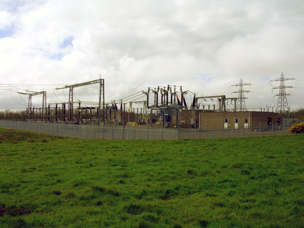
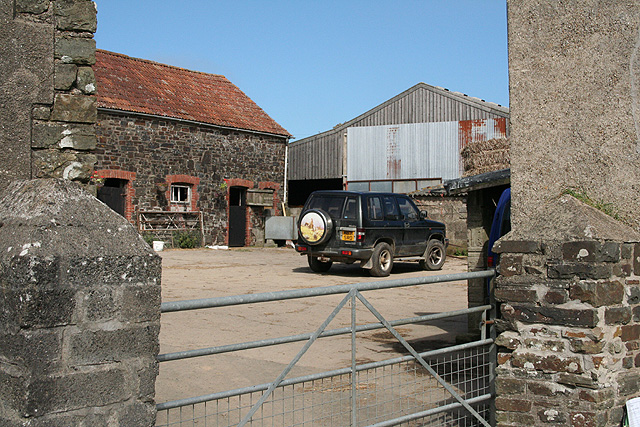
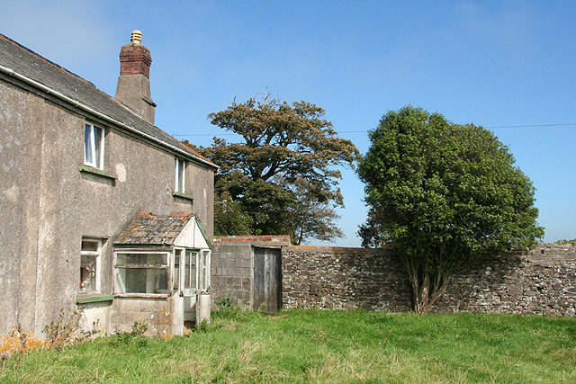
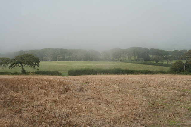
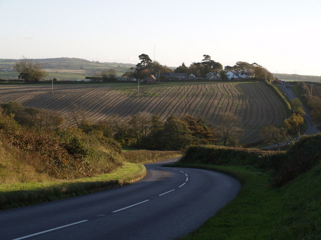
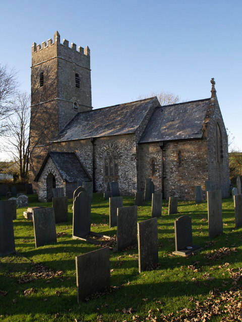
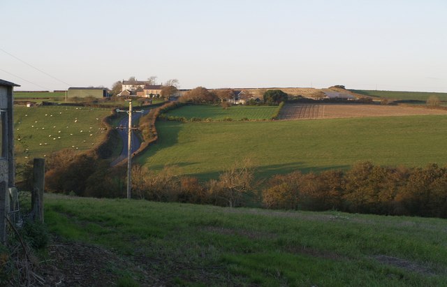
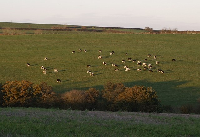
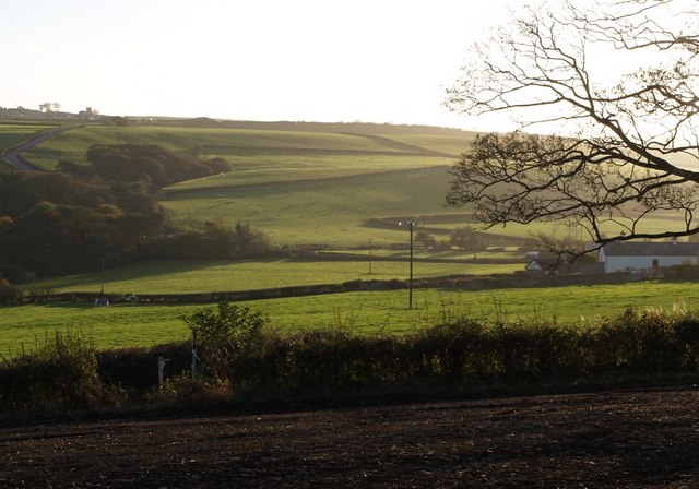
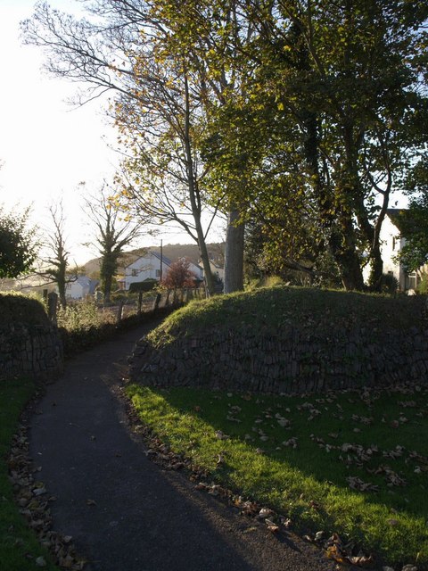
Lower Broomfield Coppice Images

Images are sourced within 2km of 51.025354/-4.1255856 or Grid Reference SS5127. Thanks to Geograph Open Source API. All images are credited.

Alverdiscott National Grid Substation This is a high voltage 400kV T-Off substation from the main Taunton to Indian Queens line. The substation consists of 2x400kV to 132kV transformers then a local distribution 132kV substation. The complete substation and point of picture are all within this square.
Alverdiscott National Grid Substation
This is a high voltage 400kV T-Off substation from the main Taunton to Indian Queens line. The substation consists of 2x400kV to 132kV transformers then a local distribution 132kV substation. The complete substation and point of picture are all within this square.
Fremington: Voscombe Farmyard seen from lane between Lovacott Green and Holmacott
Fremington: Voscombe
Farmyard seen from lane between Lovacott Green and Holmacott
Fremington: farmhouse at Voscombe
Fremington: near Holmacott A fog bank rolling in from the coast on an otherwise bright August afternoon
Fremington: near Holmacott
A fog bank rolling in from the coast on an otherwise bright August afternoon
Fremington: Holmacott Cross On a back route between Barnstaple and Bideford
Fremington: Holmacott Cross
On a back route between Barnstaple and Bideford
Belladown Hill Looking down the B3232 as it swoops across the valley of a headwater of Langham Lake and up to Newton Cross. The cluster of buildings along the ridge are on the lane from Newton Cross to Pristacott. The small building out in front of them is the telephone exchange.
Belladown Hill
Looking down the B3232 as it swoops across the valley of a headwater of Langham Lake and up to Newton Cross. The cluster of buildings along the ridge are on the lane from Newton Cross to Pristacott. The small building out in front of them is the telephone exchange.
St Thomas a Becket church, Newton Tracey "A modest church with several C13 windows" (Cherry and Pevsner). Seen across the churchyard.
St Thomas a Becket church, Newton Tracey
"A modest church with several C13 windows" (Cherry and Pevsner). Seen across the churchyard.
Belladown Hill Roughly a reverse view of <a href="https://www.geograph.org.uk/photo/599134">SS5227 : Belladown Hill</a>, taken across the valley from beside the telephone exchange on the far hill (although the building on the left is beside the exchange). This was taken about 35 minutes later, so the sun has disappeared from the field in the foreground. The B3232 climbs on the left. The buildings at the top of the hill (Belladown House and Tennacott House) are across the gridline in SS5228.
Belladown Hill
Roughly a reverse view of SS5227 : Belladown Hill, taken across the valley from beside the telephone exchange on the far hill (although the building on the left is beside the exchange). This was taken about 35 minutes later, so the sun has disappeared from the field in the foreground. The B3232 climbs on the left. The buildings at the top of the hill (Belladown House and Tennacott House) are across the gridline in SS5228.
Cattle near Tennacott A herd of cattle cast evening shadows on a south-facing valley side; taken from the same spot as <a href="https://www.geograph.org.uk/photo/600210">SS5227 : Belladown Hill</a>.
Cattle near Tennacott
A herd of cattle cast evening shadows on a south-facing valley side; taken from the same spot as SS5227 : Belladown Hill.
Bartridge Common Looking across the valley south of Newton Tracey from the path to <a href="https://www.geograph.org.uk/photo/599136">SS5226 : St Thomas a Becket church, Newton Tracey</a>. The common is shown on the maps as the area between the wooded valley and the main valley behind the tree. On the left, Bartridge Hill (the B3232) climbs towards Alverdiscott church. The cottage on the right is on the southeast edge of Newton Tracey village.
Bartridge Common
Looking across the valley south of Newton Tracey from the path to SS5226 : St Thomas a Becket church, Newton Tracey. The common is shown on the maps as the area between the wooded valley and the main valley behind the tree. On the left, Bartridge Hill (the B3232) climbs towards Alverdiscott church. The cottage on the right is on the southeast edge of Newton Tracey village.
Path from the church, Newton Tracey The path from <a href="https://www.geograph.org.uk/photo/599136">SS5226 : St Thomas a Becket church, Newton Tracey</a> leads out of the churchyard and towards the village.
Path from the church, Newton Tracey
The path from SS5226 : St Thomas a Becket church, Newton Tracey leads out of the churchyard and towards the village.
Churchyard, Newton Tracey The graveyard, whose slightly asymmetric curving boundary suggests some antiquity, of <a href="https://www.geograph.org.uk/photo/599136">SS5226 : St Thomas a Becket church, Newton Tracey</a>.
Churchyard, Newton Tracey
The graveyard, whose slightly asymmetric curving boundary suggests some antiquity, of SS5226 : St Thomas a Becket church, Newton Tracey.
St Thomas a Becket church, Newton Tracey A view of the shadowed side of <a href="https://www.geograph.org.uk/photo/599136">SS5226 : St Thomas a Becket church, Newton Tracey</a>.
St Thomas a Becket church, Newton Tracey
A view of the shadowed side of SS5226 : St Thomas a Becket church, Newton Tracey.
Tower, Newton Tracey church The embattled tower of <a href="https://www.geograph.org.uk/photo/599136">SS5226 : St Thomas a Becket church, Newton Tracey</a>, with the shadows of churchyard-edge trees cast across it.
Tower, Newton Tracey church
The embattled tower of SS5226 : St Thomas a Becket church, Newton Tracey, with the shadows of churchyard-edge trees cast across it.
Path to church, Newton Tracey This 45-metre path leads from the Pristacott lane out of the village, to <a href="https://www.geograph.org.uk/photo/600748">SS5226 : Churchyard, Newton Tracey</a>. <a href="https://www.geograph.org.uk/photo/600816">SS5226 : Field at Newton Tracey</a> was taken from a few yards along, looking right.
Path to church, Newton Tracey
This 45-metre path leads from the Pristacott lane out of the village, to SS5226 : Churchyard, Newton Tracey. SS5226 : Field at Newton Tracey was taken from a few yards along, looking right.
Field at Newton Tracey On the left is the lane to Pristacott. Horwood, Lovacott and Newton Tracey Footpath 7 (a mouthful of a parish name) runs down the far side of the hedge ahead to cross the valley to Kennacott.
Field at Newton Tracey
On the left is the lane to Pristacott. Horwood, Lovacott and Newton Tracey Footpath 7 (a mouthful of a parish name) runs down the far side of the hedge ahead to cross the valley to Kennacott.
Lane and beechwood Between Webbery and Watergate in a secluded spot east of Bideford.
Lane and beechwood
Between Webbery and Watergate in a secluded spot east of Bideford.
St Michael's church, Horwood A good solid building with a fine oak lychgate.
St Michael's church, Horwood
A good solid building with a fine oak lychgate.
Show me another place!

Lower Broomfield Coppice is located at Grid Ref: SS5127 (Lat: 51.025354, Lng: -4.1255856)

Administrative County: Devon

District: North Devon

Police Authority: Devon and Cornwall

What 3 Words

///recliner.clutter.stitch. Near Fremington, Devon

Related Wikis

Horwood, Devon

Horwood is a village and former civil parish, now in the parish of Horwood, Lovacott and Newton Tracey, in the North Devon district, in the county of Devon...

Horwood, Lovacott and Newton Tracey

Horwood, Lovacott and Newton Tracey is a civil parish in North Devon district, Devon, England. In the 2011 census it was recorded as having a population...

Webbery, Alverdiscott

Webbery (anciently Wibbery) is an historic manor in the parish of Alverdiscott in North Devon, England. == History == === Nicholas the Bowman === The manor...

Newton Tracey

Newton Tracey is a village and former civil parish, now in the parish of Horwood, Lovacott and Newton Tracey, in the North Devon district of Devon, England...

Nearby Amenities

Located within 500m of 51.025354,-4.1255856
Power: pole
Lat/Long: 51.0214791/-4.1235899
Power: pole
Lat/Long: 51.0226504/-4.1239652
Power: pole
Lat/Long: 51.0235036/-4.1242122
Power: pole
Lat/Long: 51.0245664/-4.1245991
Power: pole
Lat/Long: 51.0256439/-4.1249766
Power: pole
Lat/Long: 51.0282951/-4.1275093
Power: pole
Lat/Long: 51.0291942/-4.12844
The data included in this document is from www.openstreetmap.org. The data is made available under ODbL.

Have you been to Lower Broomfield Coppice?

Leave your review of Lower Broomfield Coppice below (or comments, questions and feedback).