Higher Land

Settlement in Cornwall

England

Higher Land

Minor road near Downgate
Minor road near Downgate Credit: David Smith

Higher Land is a picturesque village situated in the county of Cornwall, in the southwestern region of England. Nestled amidst rolling hills and lush greenery, this quaint village offers a serene and idyllic setting for residents and visitors alike.

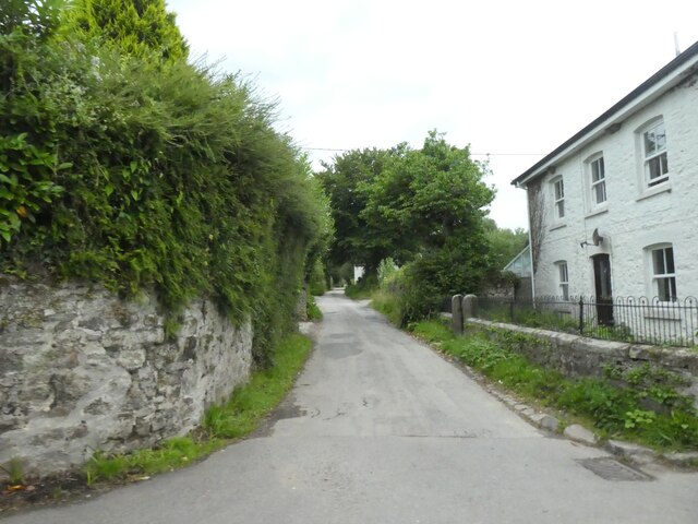
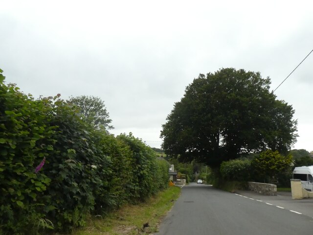
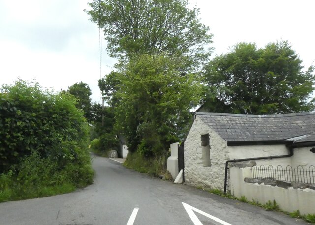
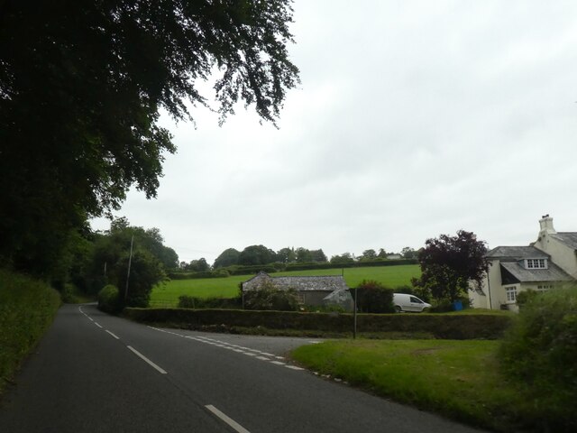
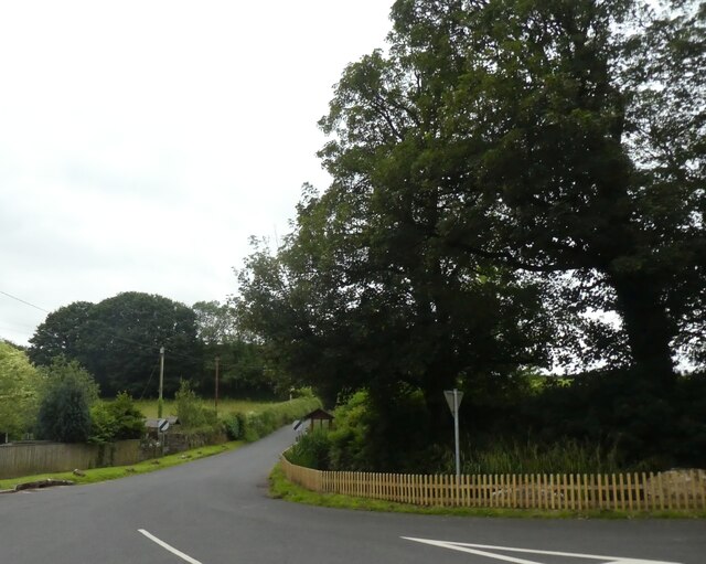
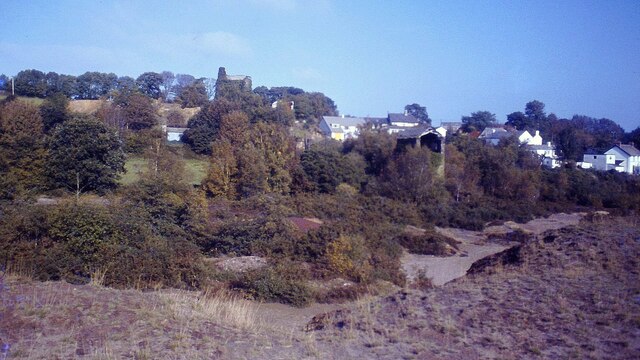
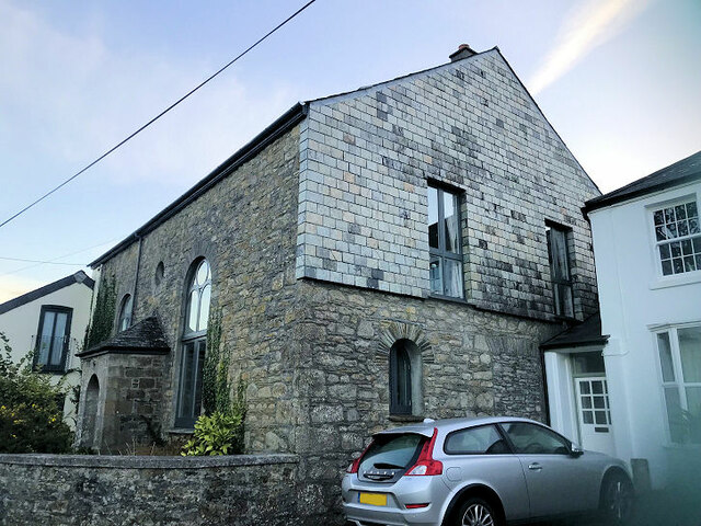
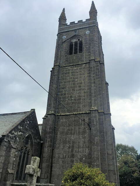
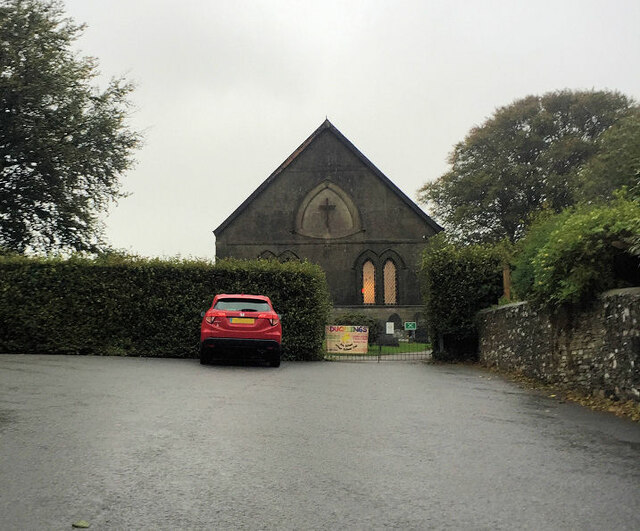
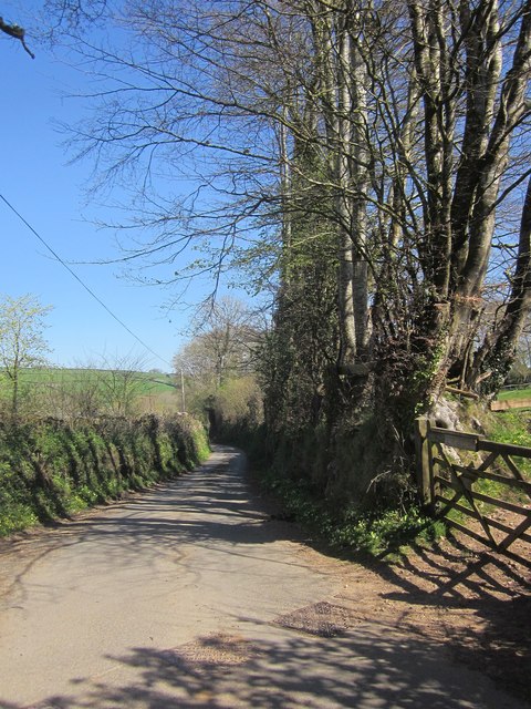
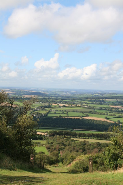
Surrounded by natural beauty, Higher Land boasts stunning landscapes and panoramic views of the nearby coastline. The village is known for its charming traditional cottages, which add to its distinctive character. The local community takes pride in preserving the village's architectural heritage, ensuring that it maintains its authentic charm.

In terms of amenities, Higher Land offers a range of facilities for its residents. The village has a small but well-equipped local shop, providing essential supplies to its inhabitants. Additionally, there are a few cozy pubs and restaurants, offering a taste of traditional Cornish cuisine and a warm, friendly atmosphere.

For those seeking outdoor activities, Higher Land is a haven. The surrounding countryside provides ample opportunities for hiking, cycling, and exploring the natural beauty of Cornwall. The village is also within close proximity to some of the county's most renowned landmarks, such as the famous Land's End and St. Michael's Mount.

Transportation in Higher Land is facilitated by a regular bus service, connecting the village to nearby towns and cities. The village is also easily accessible by car, with well-maintained roads connecting it to the wider region.

Overall, Higher Land offers a peaceful and picturesque retreat, making it an ideal destination for nature lovers and those seeking a slower pace of life in the heart of Cornwall.

If you have any feedback on the listing, please let us know in the comments section below.
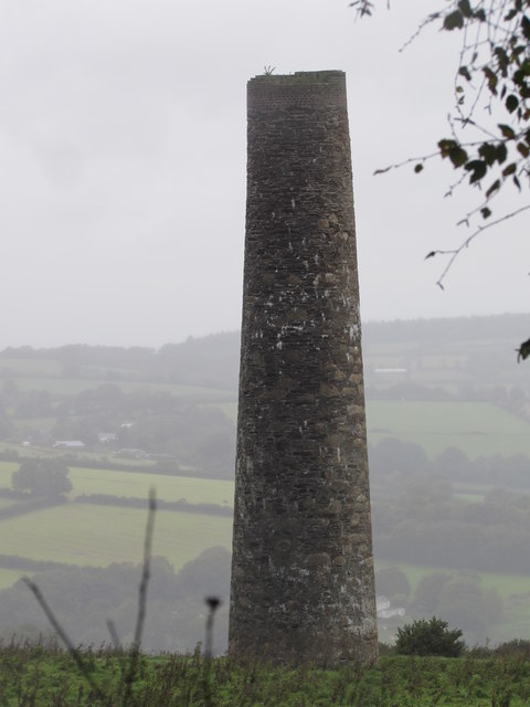
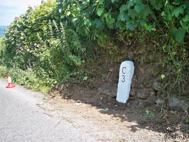
Higher Land Images

Images are sourced within 2km of 50.541557/-4.2997544 or Grid Reference SX3773. Thanks to Geograph Open Source API. All images are credited.

Minor road near Downgate
Roadside tree in Downgate
Road to Kelly Bray from Downgate
Junction with Stoke Road near Alren Farm
Derestriction signs on west of Stoke Climsland
New Consols Mine in 1984 <span class="nowrap"><a title="https://historicengland.org.uk/listing/the-list/list-entry/1409595?section=official-listing" rel="nofollow ugc noopener" href="https://historicengland.org.uk/listing/the-list/list-entry/1409595?section=official-listing">Link</a><img style="margin-left:2px;" alt="External link" title="External link - shift click to open in new window" src="https://s1.geograph.org.uk/img/external.png" width="10" height="10"/></span>
New Consols Mine in 1984
Wheal Martha or New Great Consols, Luckett One of the engine houses on this mine, taken in 1977. This was the 28 inch crusher. The mine was noted for its complicated ores, making separation difficult. These included copper, arsenic, silver, wolfram, tin and pyrite. For many years the main pumping engine remained in its house, rusting away. These days the excessive ivy growth has more or less completely enveloped this house.
Wheal Martha or New Great Consols, Luckett
One of the engine houses on this mine, taken in 1977. This was the 28 inch crusher. The mine was noted for its complicated ores, making separation difficult. These included copper, arsenic, silver, wolfram, tin and pyrite. For many years the main pumping engine remained in its house, rusting away. These days the excessive ivy growth has more or less completely enveloped this house.
Former Bible Christian Chapel
Stoke Climsland Church Tower
Stoke Climsland Methodist Church
Old Boundary Marker, Duchy College, Stoke Climsland Boundary Marker set in the wall of the quadrangle behind the Reception of Duchy College, Stoke Climsland. Stokeclimsland parish. Inscribed BS.

Milestone Society National ID: CW_STOKE03bm
Old Boundary Marker, Duchy College, Stoke Climsland
Boundary Marker set in the wall of the quadrangle behind the Reception of Duchy College, Stoke Climsland. Stokeclimsland parish. Inscribed BS. Milestone Society National ID: CW_STOKE03bm
Old Boundary Marker, Duchy College, Stoke Climsland Boundary Marker set in the wall beside a door in the quadrangle behind the Reception of Duchy College, Stoke Climsland. Stokeclimsland parish. Inscribed BS.

Milestone Society National ID: CW_STOKE04bm
Old Boundary Marker, Duchy College, Stoke Climsland
Boundary Marker set in the wall beside a door in the quadrangle behind the Reception of Duchy College, Stoke Climsland. Stokeclimsland parish. Inscribed BS. Milestone Society National ID: CW_STOKE04bm
Lane near Downgate Descending steadily into a deep valley at Old Mill.
Lane near Downgate
Descending steadily into a deep valley at Old Mill.
New Consols Flue Stack One of two stacks built on the hill at Monk's Corner by the New Consols Mine Company after locals claimed an injunction due to the ill health of livestock and the quality of the adjoining fields caused by fumes from the arsenic works down at Luckett in 1872.
New Consols Flue Stack
One of two stacks built on the hill at Monk's Corner by the New Consols Mine Company after locals claimed an injunction due to the ill health of livestock and the quality of the adjoining fields caused by fumes from the arsenic works down at Luckett in 1872.
Old Milestone north of Higher Crockett Carved stone post by the UC road, in parish of STOKE CLIMSLAND (NORTH CORNWALL District), Lower Crockett Farm, at crossroads, set into bank, on East side of road. Callington C gravestone, erected by the Callington turnpike trust in the 18th century. 

Inscription reads:-
II / + / C : : II / + / C : 
Carved bench mark on top.

Grade II Listed. List Entry Number: 1290830
<span class="nowrap"><a title="https://historicengland.org.uk/listing/the-list/list-entry/1290830" rel="nofollow ugc noopener" href="https://historicengland.org.uk/listing/the-list/list-entry/1290830">Link</a><img style="margin-left:2px;" alt="External link" title="External link - shift click to open in new window" src="https://s1.geograph.org.uk/img/external.png" width="10" height="10"/></span>

Milestone Society National ID: CW_CLBM02.
Old Milestone north of Higher Crockett
Carved stone post by the UC road, in parish of STOKE CLIMSLAND (NORTH CORNWALL District), Lower Crockett Farm, at crossroads, set into bank, on East side of road. Callington C gravestone, erected by the Callington turnpike trust in the 18th century. Inscription reads:- II / + / C : : II / + / C : Carved bench mark on top. Grade II Listed. List Entry Number: 1290830 LinkExternal link Milestone Society National ID: CW_CLBM02.
Old Milestone in Stoke Climsland Carved stone post by the UC road, in parish of STOKE CLIMSLAND (NORTH CORNWALL District), village green, buried in bank, on West side of road. Callington C gravestone, erected by the Callington turnpike trust in the 18th century. 

Inscription reads:-
III
+
C

Grade II Listed. List Entry Number: 1220671
<span class="nowrap"><a title="https://historicengland.org.uk/listing/the-list/list-entry/1220671" rel="nofollow ugc noopener" href="https://historicengland.org.uk/listing/the-list/list-entry/1220671">Link</a><img style="margin-left:2px;" alt="External link" title="External link - shift click to open in new window" src="https://s1.geograph.org.uk/img/external.png" width="10" height="10"/></span>

Milestone Society National ID: CW_CLBM03.
Old Milestone in Stoke Climsland
Carved stone post by the UC road, in parish of STOKE CLIMSLAND (NORTH CORNWALL District), village green, buried in bank, on West side of road. Callington C gravestone, erected by the Callington turnpike trust in the 18th century. Inscription reads:- III + C Grade II Listed. List Entry Number: 1220671 LinkExternal link Milestone Society National ID: CW_CLBM03.
Old Milestone south of Haylands Carved stone post by the UC road, in parish of STOKE CLIMSLAND (NORTH CORNWALL District), Haylands, on bend on steep hill, set into Cornish hedge, on East side of road. Callington C tombstone, erected by the Callington turnpike trust in the 18th century. 

Inscription reads:- 
C
3 

Grade II Listed. List Entry Number: 1220243
<span class="nowrap"><a title="https://historicengland.org.uk/listing/the-list/list-entry/1220243" rel="nofollow ugc noopener" href="https://historicengland.org.uk/listing/the-list/list-entry/1220243">Link</a><img style="margin-left:2px;" alt="External link" title="External link - shift click to open in new window" src="https://s1.geograph.org.uk/img/external.png" width="10" height="10"/></span>

Milestone Society National ID: CW_CLHB03.
Old Milestone south of Haylands
Carved stone post by the UC road, in parish of STOKE CLIMSLAND (NORTH CORNWALL District), Haylands, on bend on steep hill, set into Cornish hedge, on East side of road. Callington C tombstone, erected by the Callington turnpike trust in the 18th century. Inscription reads:- C 3 Grade II Listed. List Entry Number: 1220243 LinkExternal link Milestone Society National ID: CW_CLHB03.
Inclined Plane, Kit Hill View down the incline that was the course of a tramway taking the products of mines on the hill down to the railway at the base.
Inclined Plane, Kit Hill
View down the incline that was the course of a tramway taking the products of mines on the hill down to the railway at the base.
Show me another place!

Higher Land is located at Grid Ref: SX3773 (Lat: 50.541557, Lng: -4.2997544)

Unitary Authority: Cornwall

Police Authority: Devon and Cornwall

What 3 Words

///bombshell.ambitions.intruders. Near South Hill, Cornwall

Nearby Locations

Higher Land

Related Wikis

Old Mill, Cornwall

Old Mill is a hamlet in the civil parish of Stokeclimsland, Cornwall, England. == References ==

Pempwell

Pempwell is a hamlet near Stoke Climsland in Cornwall, England, UK. == References ==

Stoke Climsland

Stoke Climsland is a village in the valley of the River Tamar, Cornwall, England, United Kingdom within the civil parish of Stokeclimsland. The population...

Whiteford House

Whiteford House was an English country house near Stoke Climsland, Cornwall. It was built in 1775 by John Call and demolished in 1913. == History == There...

Nearby Amenities

Located within 500m of 50.541557,-4.2997544
Higherland
Place: village
Lat/Long: 50.5425743/-4.2996658
Old Mill
Name Kw: Melingoth
Place: hamlet
Wikidata: Q7084516
Lat/Long: 50.541705/-4.3025143
Mearfield
Place: isolated_dwelling
Lat/Long: 50.5458074/-4.300846
Kellyhoe Farm
Lat/Long: 50.5408186/-4.2928423
Parking
Duchy Parking
Capacity: 7
Lat/Long: 50.5410614/-4.2981173
Historic: ruins
Ruins: Mine_works
Lat/Long: 50.5398494/-4.2996671
The data included in this document is from www.openstreetmap.org. The data is made available under ODbL.

Have you been to Higher Land?

Leave your review of Higher Land below (or comments, questions and feedback).