Higher Keason

Settlement in Cornwall

England

Higher Keason

Lay-by on A390 west of St Ive
Lay-by on A390 west of St Ive Credit: David Smith

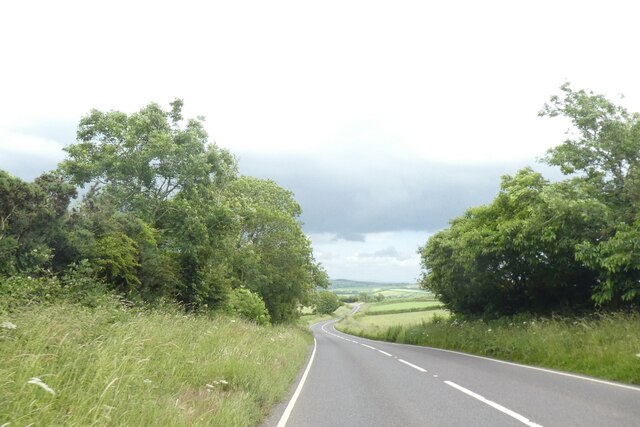
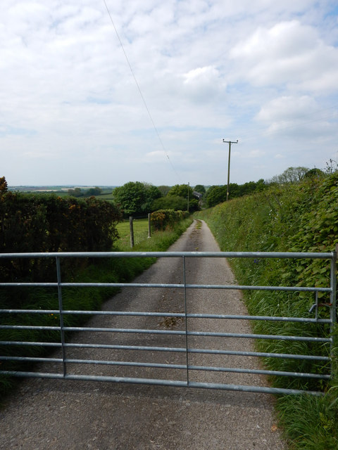
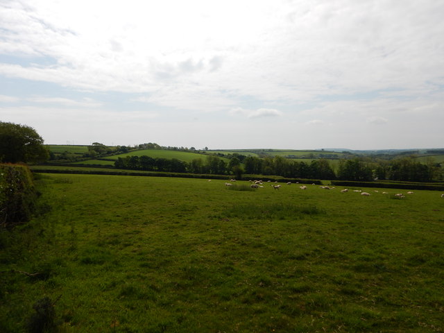
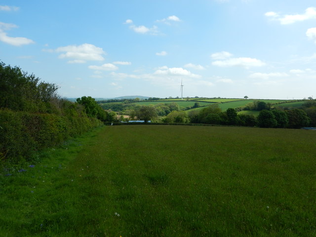
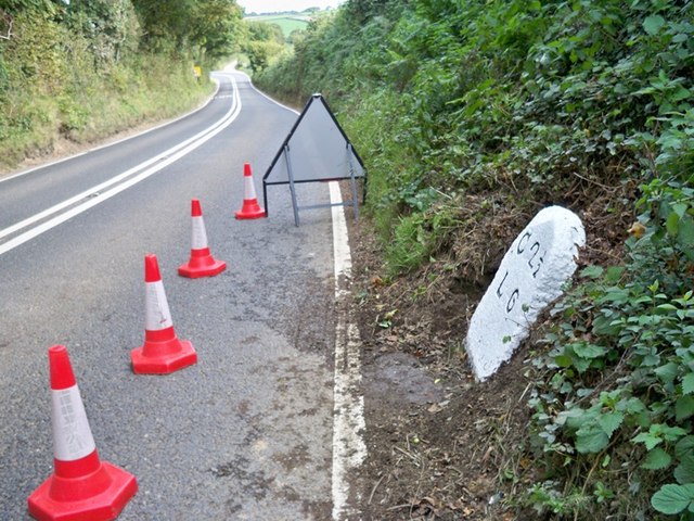
Higher Keason is a small hamlet located in Cornwall, England. Situated near the town of Launceston, Higher Keason is known for its picturesque countryside views and peaceful atmosphere. The hamlet is surrounded by rolling hills and lush green fields, making it an ideal destination for those seeking a retreat from the hustle and bustle of urban life.

Higher Keason is home to a small number of traditional Cornish cottages and farmhouses, giving visitors a glimpse into the area's rural past. The hamlet's residents are friendly and welcoming, creating a strong sense of community within the tight-knit village.

Despite its tranquil setting, Higher Keason is conveniently located near several amenities and attractions. The nearby town of Launceston offers a range of shops, restaurants, and recreational facilities, while the stunning North Cornwall coast is just a short drive away.

Overall, Higher Keason is a charming and idyllic village that provides a peaceful retreat for those looking to immerse themselves in the beauty of the Cornish countryside.

If you have any feedback on the listing, please let us know in the comments section below.

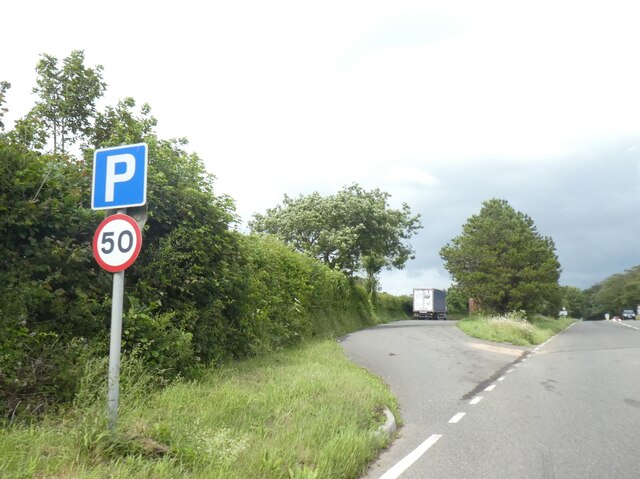
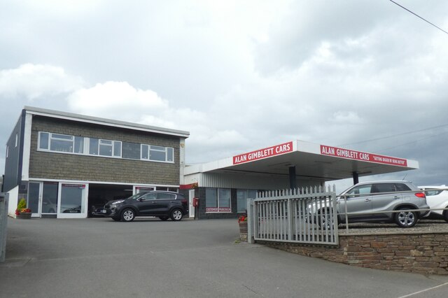
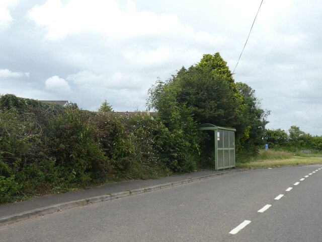
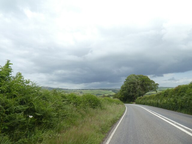
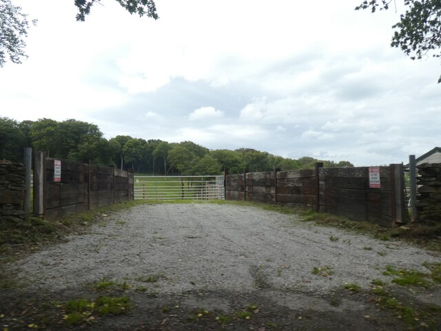
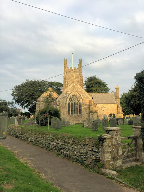
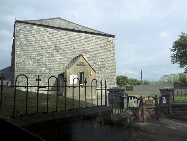
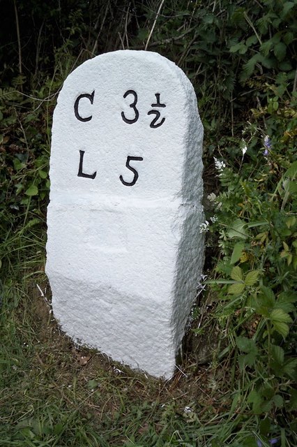
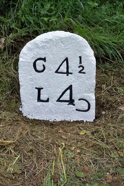
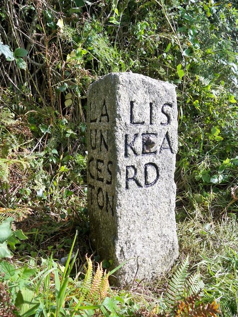
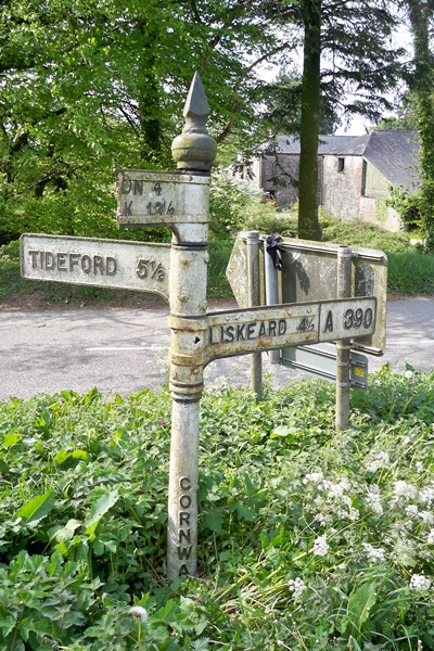
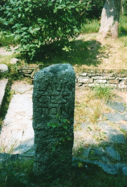
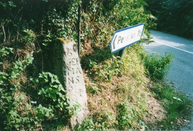
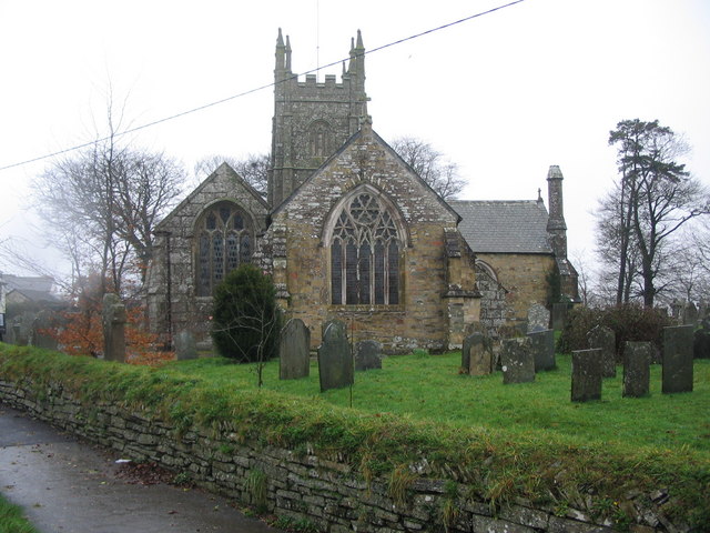
Higher Keason Images

Images are sourced within 2km of 50.487274/-4.3759682 or Grid Reference SX3167. Thanks to Geograph Open Source API. All images are credited.

Lay-by on A390 west of St Ive
Car dealer, St Ive, on A390
Bus shelter on A390 at Keason Cottages
A390 east of St Ive
A390 east of St Ive
A390 east of Merryhue
Farm entrance near Merryhue
St Ive Church Also known as St Ivo's Church.
St Ive Church
Also known as St Ivo's Church.
St Ive Methodist Church
Moorshead Gated Driveway near Pensilva
Sheep Farming near Moorshead
Pensilva - Footpath in Field near Cobwebs Wind Turbine in the distance.
Pensilva - Footpath in Field near Cobwebs
Wind Turbine in the distance.
Old Milestone by the A390 Carved stone post by the A390, in parish of ST IVE (CARADON District), 500m North West of Cadson, on steep bend, leaning against bank, on South side of road. Callington CL tombstone, erected by the Callington turnpike trust in the 19th century. 

Inscription reads:-
C 2½
L 6  

Grade II Listed. List Entry Number: 1140823
<span class="nowrap"><a title="https://historicengland.org.uk/listing/the-list/list-entry/1140823" rel="nofollow ugc noopener" href="https://historicengland.org.uk/listing/the-list/list-entry/1140823">Link</a><img style="margin-left:2px;" alt="External link" title="External link - shift click to open in new window" src="https://s1.geograph.org.uk/img/external.png" width="10" height="10"/></span>

Milestone Society National ID: CW_CLLK02.
Old Milestone by the A390
Carved stone post by the A390, in parish of ST IVE (CARADON District), 500m North West of Cadson, on steep bend, leaning against bank, on South side of road. Callington CL tombstone, erected by the Callington turnpike trust in the 19th century. Inscription reads:- C 2½ L 6 Grade II Listed. List Entry Number: 1140823 LinkExternal link Milestone Society National ID: CW_CLLK02.
Old Milestone by the A390 in Higher Keason Carved stone post by the A390, in parish of ST IVE (CARADON District), Higher Keason, Keason turn, against hedge (was in it). Broken - top half was loose, now restored, on North side of road. Callington CL tombstone, erected by the Callington turnpike trust in the 19th century. 

Inscription reads:-
C 3½
L 5   

Grade II Listed. List Entry Number: 1140829
<span class="nowrap"><a title="https://historicengland.org.uk/listing/the-list/list-entry/1140829" rel="nofollow ugc noopener" href="https://historicengland.org.uk/listing/the-list/list-entry/1140829">Link</a><img style="margin-left:2px;" alt="External link" title="External link - shift click to open in new window" src="https://s1.geograph.org.uk/img/external.png" width="10" height="10"/></span>

Milestone Society National ID: CW_CLLK03.
Old Milestone by the A390 in Higher Keason
Carved stone post by the A390, in parish of ST IVE (CARADON District), Higher Keason, Keason turn, against hedge (was in it). Broken - top half was loose, now restored, on North side of road. Callington CL tombstone, erected by the Callington turnpike trust in the 19th century. Inscription reads:- C 3½ L 5 Grade II Listed. List Entry Number: 1140829 LinkExternal link Milestone Society National ID: CW_CLLK03.
Old Milestone by the A390, west of St Ive Carved stone post by the A390, in parish of ST IVE (CARADON District), West of St Ive Church End, opposite lay by, buried in undergrowth (2001), on South side of road. Callington CL tombstone, erected by the Callington turnpike trust in the 19th century. 

Inscription reads:-
C 4½
L 4{reversed 'C'}   

Grade II Listed. List Entry Number: 1329052
<span class="nowrap"><a title="https://historicengland.org.uk/listing/the-list/list-entry/1329052" rel="nofollow ugc noopener" href="https://historicengland.org.uk/listing/the-list/list-entry/1329052">Link</a><img style="margin-left:2px;" alt="External link" title="External link - shift click to open in new window" src="https://s1.geograph.org.uk/img/external.png" width="10" height="10"/></span>

Milestone Society National ID: CW_CLLK04.
Old Milestone by the A390, west of St Ive
Carved stone post by the A390, in parish of ST IVE (CARADON District), West of St Ive Church End, opposite lay by, buried in undergrowth (2001), on South side of road. Callington CL tombstone, erected by the Callington turnpike trust in the 19th century. Inscription reads:- C 4½ L 4{reversed 'C'} Grade II Listed. List Entry Number: 1329052 LinkExternal link Milestone Society National ID: CW_CLLK04.
Old Guide Stone by the A390 at Higher Keason, St Ive Parish By the A390, in parish of St Ive (Caradon District), Higher Keason, turning at Higher Keason, set back from road by bank.

Inscription reads:-
: LA / UN / CES / TON : : LIS / KEA / RD : : CAL / LIN / GT / ON :

Grade II listed. List Entry Number: 1140829
<span class="nowrap"><a title="https://historicengland.org.uk/listing/the-list/list-entry/1140829" rel="nofollow ugc noopener" href="https://historicengland.org.uk/listing/the-list/list-entry/1140829">Link</a><img style="margin-left:2px;" alt="External link" title="External link - shift click to open in new window" src="https://s1.geograph.org.uk/img/external.png" width="10" height="10"/></span>

Surveyed

Milestone Society National ID: CW_XSTI3
Old Guide Stone by the A390 at Higher Keason, St Ive Parish
By the A390, in parish of St Ive (Caradon District), Higher Keason, turning at Higher Keason, set back from road by bank. Inscription reads:- : LA / UN / CES / TON : : LIS / KEA / RD : : CAL / LIN / GT / ON : Grade II listed. List Entry Number: 1140829 LinkExternal link Surveyed Milestone Society National ID: CW_XSTI3
Old Direction Sign - Signpost by the A390, near St Ive Cross Raised finial - 'G' type; by the A390, in parish of St Ive (Caradon District), at turn South to St Ive Cross, at apex of Y-junction.

Cornwall and Scilly HER.
HER Number: MCO56959 <span class="nowrap"><a title="https://www.heritagegateway.org.uk/Gateway/Results_Single.aspx?uid=MCO56959&resourceID=1020" rel="nofollow ugc noopener" href="https://www.heritagegateway.org.uk/Gateway/Results_Single.aspx?uid=MCO56959&resourceID=1020">Link</a><img style="margin-left:2px;" alt="External link" title="External link - shift click to open in new window" src="https://s1.geograph.org.uk/img/external.png" width="10" height="10"/></span>

To be surveyed

Milestone Society National ID: CW_SX3167
Old Direction Sign - Signpost by the A390, near St Ive Cross
Raised finial - 'G' type; by the A390, in parish of St Ive (Caradon District), at turn South to St Ive Cross, at apex of Y-junction. Cornwall and Scilly HER. HER Number: MCO56959 LinkExternal link To be surveyed Milestone Society National ID: CW_SX3167
Old Guide Stone by Gang Cottage, St Ive parish Moorland Guidepost by the UC road, in parish of St Ive (Caradon District), by Gang Cottage, set into parking bay.

Inscription reads:-
: CAL / LING / TON : : LAUN / CES / TON : : S / GER / MA / NS : 

Grade II listed.
List Entry Number: 1392532 <span class="nowrap"><a title="https://historicengland.org.uk/listing/the-list/list-entry/1392532" rel="nofollow ugc noopener" href="https://historicengland.org.uk/listing/the-list/list-entry/1392532">Link</a><img style="margin-left:2px;" alt="External link" title="External link - shift click to open in new window" src="https://s1.geograph.org.uk/img/external.png" width="10" height="10"/></span>

Surveyed

Milestone Society National ID: CW_XSTI2
Old Guide Stone by Gang Cottage, St Ive parish
Moorland Guidepost by the UC road, in parish of St Ive (Caradon District), by Gang Cottage, set into parking bay. Inscription reads:- : CAL / LING / TON : : LAUN / CES / TON : : S / GER / MA / NS : Grade II listed. List Entry Number: 1392532 LinkExternal link Surveyed Milestone Society National ID: CW_XSTI2
Old Guide Stone near 'Moorlands', southeast of Pensilva Milestone by the UC road, in parish of St Ive (Caradon District), 10m East of 'Moorlands', on apex of fork. Leaning against hedge.

Inscription reads:-
: RED / GAT / E : : ST / GER / MA / NS : : LAUN / CES / TON :

Grade II listed.
List Entry Number: 1140041 <span class="nowrap"><a title="https://historicengland.org.uk/listing/the-list/list-entry/1140041" rel="nofollow ugc noopener" href="https://historicengland.org.uk/listing/the-list/list-entry/1140041">Link</a><img style="margin-left:2px;" alt="External link" title="External link - shift click to open in new window" src="https://s1.geograph.org.uk/img/external.png" width="10" height="10"/></span>

Surveyed

Milestone Society National ID: CW_XSTI4
Old Guide Stone near 'Moorlands', southeast of Pensilva
Milestone by the UC road, in parish of St Ive (Caradon District), 10m East of 'Moorlands', on apex of fork. Leaning against hedge. Inscription reads:- : RED / GAT / E : : ST / GER / MA / NS : : LAUN / CES / TON : Grade II listed. List Entry Number: 1140041 LinkExternal link Surveyed Milestone Society National ID: CW_XSTI4
Show me another place!

Higher Keason is located at Grid Ref: SX3167 (Lat: 50.487274, Lng: -4.3759682)

Unitary Authority: Cornwall

Police Authority: Devon and Cornwall

What 3 Words

///lifelong.husky.metals. Near Pensilva, Cornwall

Related Wikis

Parkfield, Cornwall

Parkfield is a hamlet in the parish of St Ive and Pensilva, Cornwall, England. == References ==

Gang, Cornwall

Gang is a hamlet in the parish of St Ive and Pensilva in east Cornwall, England, UK. == References ==

St Ive

St Ive ( EEV; Cornish: Sen Iv) is a village in the civil parish of St Ive and Pensilva in eastern Cornwall, England, United Kingdom. The village is split...

St Ive and Pensilva

St Ive and Pensilva, formerly St Ive is a civil parish in Cornwall, England, United Kingdom. The parish has 4,246 residents and an area of 6,894 acres...

Nearby Amenities

Located within 500m of 50.487274,-4.3759682
Direction: backward
Maxspeed: 30 mph
Traffic Sign: maxspeed
Lat/Long: 50.4867827/-4.3717014
Rest Area
Lat/Long: 50.4868482/-4.3700727
St Ive Keason
Place: village
Lat/Long: 50.4866/-4.373807
Power: pole
Lat/Long: 50.484121/-4.3808506
The data included in this document is from www.openstreetmap.org. The data is made available under ODbL.

Have you been to Higher Keason?

Leave your review of Higher Keason below (or comments, questions and feedback).