St Ive

Settlement in Cornwall

England

St Ive

Lay-by on A390 west of St Ive
Lay-by on A390 west of St Ive Credit: David Smith

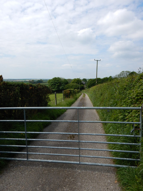
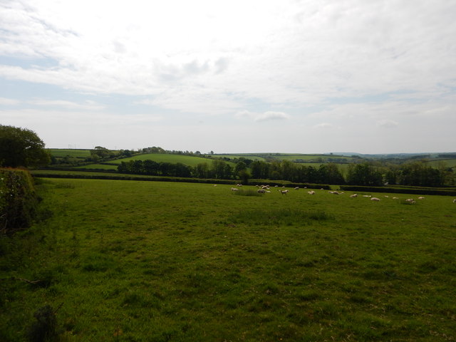
St Ive is a small village located in Cornwall, England. It is situated near the town of Liskeard and is surrounded by beautiful countryside and rolling hills. The village is known for its picturesque scenery, with charming stone cottages and lush green fields.

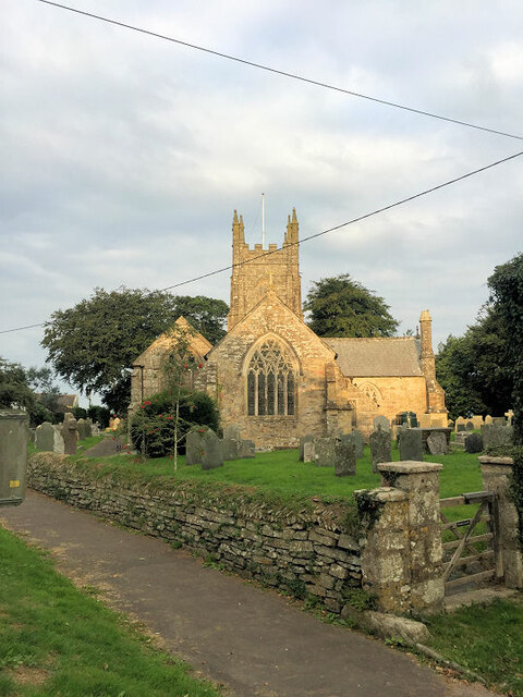
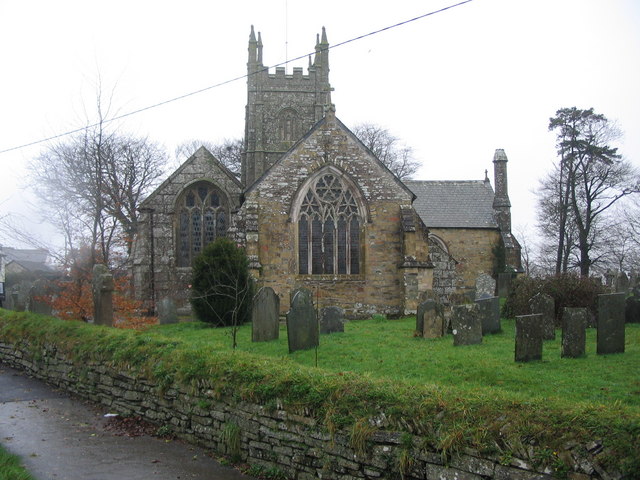
St Ive has a rich history dating back to the medieval period, and there are several historic buildings in the village, including the 15th-century parish church of St Ivo, which is a Grade I listed building. The church is known for its impressive architecture and stunning stained glass windows.

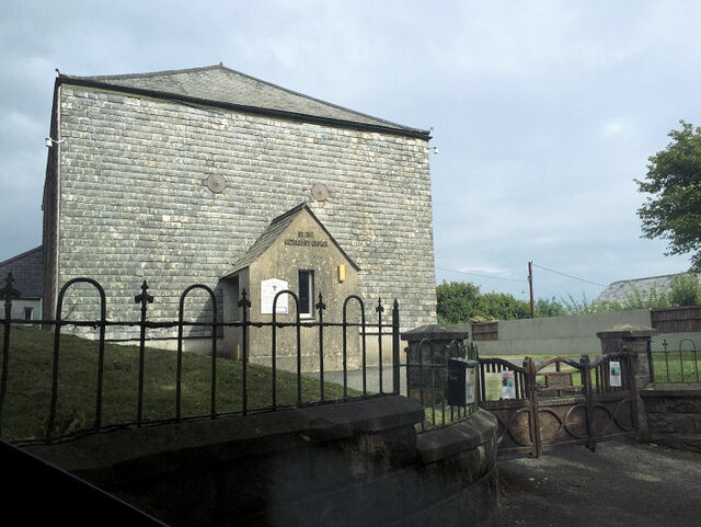
The village is home to a close-knit community, with a population of around 1,000 residents. There are a few amenities in St Ive, including a local pub, a village hall, and a primary school. The village is a popular destination for tourists looking to explore the Cornish countryside and enjoy the peaceful surroundings.

Overall, St Ive is a quaint and picturesque village that offers a peaceful retreat for visitors looking to escape the hustle and bustle of city life.

If you have any feedback on the listing, please let us know in the comments section below.
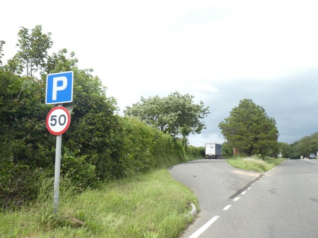
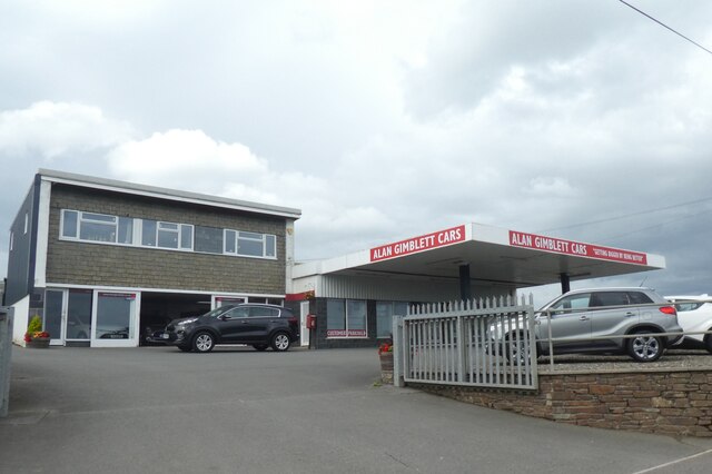
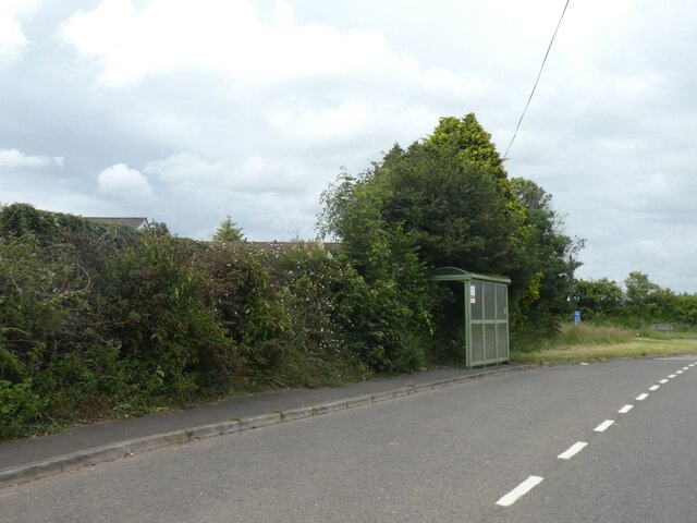
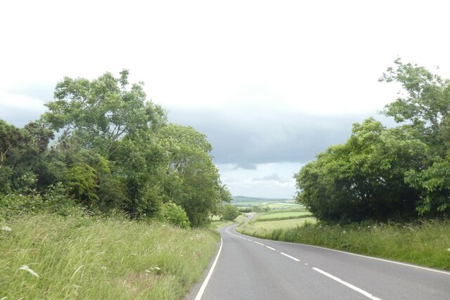
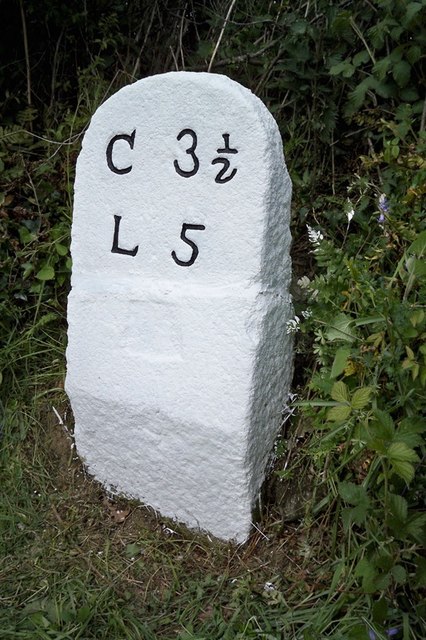
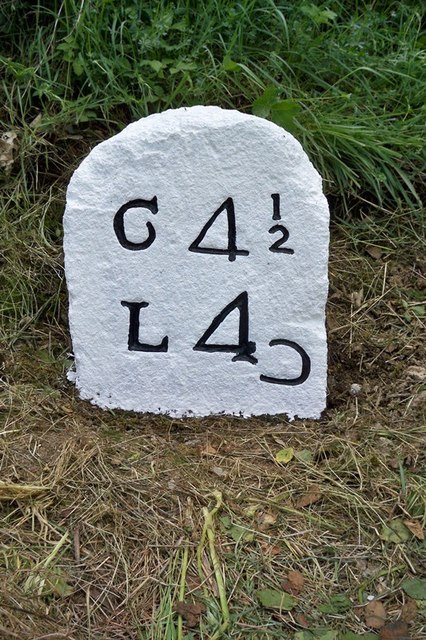
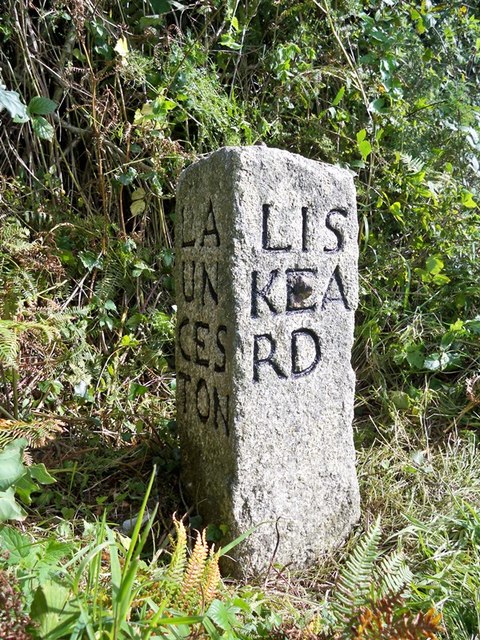
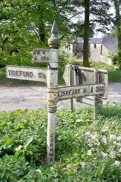
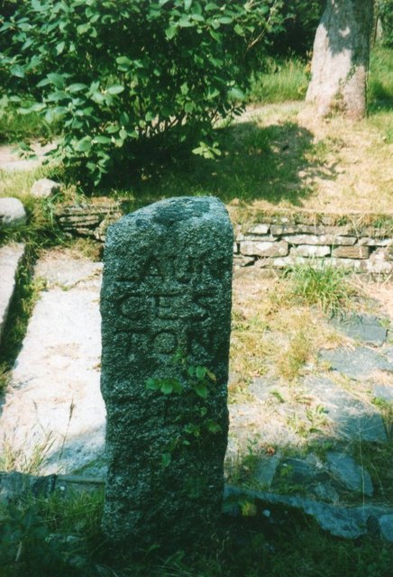
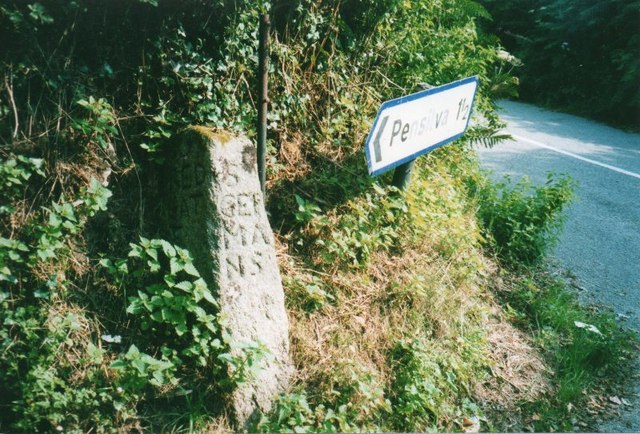
St Ive Images

Images are sourced within 2km of 50.480058/-4.382585 or Grid Reference SX3167. Thanks to Geograph Open Source API. All images are credited.

Lay-by on A390 west of St Ive
Car dealer, St Ive, on A390
Bus shelter on A390 at Keason Cottages
A390 east of St Ive
A390 east of St Ive
St Ive Church Also known as St Ivo's Church.
St Ive Church
Also known as St Ivo's Church.
St Ive Methodist Church
Path into Trebeigh Wood The path leads into woodland and the banks of the River Tiddy
Path into Trebeigh Wood
The path leads into woodland and the banks of the River Tiddy
Moorshead Gated Driveway near Pensilva
Sheep Farming near Moorshead
Old Milestone by the A390 in Higher Keason Carved stone post by the A390, in parish of ST IVE (CARADON District), Higher Keason, Keason turn, against hedge (was in it). Broken - top half was loose, now restored, on North side of road. Callington CL tombstone, erected by the Callington turnpike trust in the 19th century. 

Inscription reads:-
C 3½
L 5   

Grade II Listed. List Entry Number: 1140829
<span class="nowrap"><a title="https://historicengland.org.uk/listing/the-list/list-entry/1140829" rel="nofollow ugc noopener" href="https://historicengland.org.uk/listing/the-list/list-entry/1140829">Link</a><img style="margin-left:2px;" alt="External link" title="External link - shift click to open in new window" src="https://s1.geograph.org.uk/img/external.png" width="10" height="10"/></span>

Milestone Society National ID: CW_CLLK03.
Old Milestone by the A390 in Higher Keason
Carved stone post by the A390, in parish of ST IVE (CARADON District), Higher Keason, Keason turn, against hedge (was in it). Broken - top half was loose, now restored, on North side of road. Callington CL tombstone, erected by the Callington turnpike trust in the 19th century. Inscription reads:- C 3½ L 5 Grade II Listed. List Entry Number: 1140829 LinkExternal link Milestone Society National ID: CW_CLLK03.
Old Milestone by the A390, west of St Ive Carved stone post by the A390, in parish of ST IVE (CARADON District), West of St Ive Church End, opposite lay by, buried in undergrowth (2001), on South side of road. Callington CL tombstone, erected by the Callington turnpike trust in the 19th century. 

Inscription reads:-
C 4½
L 4{reversed 'C'}   

Grade II Listed. List Entry Number: 1329052
<span class="nowrap"><a title="https://historicengland.org.uk/listing/the-list/list-entry/1329052" rel="nofollow ugc noopener" href="https://historicengland.org.uk/listing/the-list/list-entry/1329052">Link</a><img style="margin-left:2px;" alt="External link" title="External link - shift click to open in new window" src="https://s1.geograph.org.uk/img/external.png" width="10" height="10"/></span>

Milestone Society National ID: CW_CLLK04.
Old Milestone by the A390, west of St Ive
Carved stone post by the A390, in parish of ST IVE (CARADON District), West of St Ive Church End, opposite lay by, buried in undergrowth (2001), on South side of road. Callington CL tombstone, erected by the Callington turnpike trust in the 19th century. Inscription reads:- C 4½ L 4{reversed 'C'} Grade II Listed. List Entry Number: 1329052 LinkExternal link Milestone Society National ID: CW_CLLK04.
Old Guide Stone by the A390 at Higher Keason, St Ive Parish By the A390, in parish of St Ive (Caradon District), Higher Keason, turning at Higher Keason, set back from road by bank.

Inscription reads:-
: LA / UN / CES / TON : : LIS / KEA / RD : : CAL / LIN / GT / ON :

Grade II listed. List Entry Number: 1140829
<span class="nowrap"><a title="https://historicengland.org.uk/listing/the-list/list-entry/1140829" rel="nofollow ugc noopener" href="https://historicengland.org.uk/listing/the-list/list-entry/1140829">Link</a><img style="margin-left:2px;" alt="External link" title="External link - shift click to open in new window" src="https://s1.geograph.org.uk/img/external.png" width="10" height="10"/></span>

Surveyed

Milestone Society National ID: CW_XSTI3
Old Guide Stone by the A390 at Higher Keason, St Ive Parish
By the A390, in parish of St Ive (Caradon District), Higher Keason, turning at Higher Keason, set back from road by bank. Inscription reads:- : LA / UN / CES / TON : : LIS / KEA / RD : : CAL / LIN / GT / ON : Grade II listed. List Entry Number: 1140829 LinkExternal link Surveyed Milestone Society National ID: CW_XSTI3
Old Direction Sign - Signpost by the A390, near St Ive Cross Raised finial - 'G' type; by the A390, in parish of St Ive (Caradon District), at turn South to St Ive Cross, at apex of Y-junction.

Cornwall and Scilly HER.
HER Number: MCO56959 <span class="nowrap"><a title="https://www.heritagegateway.org.uk/Gateway/Results_Single.aspx?uid=MCO56959&resourceID=1020" rel="nofollow ugc noopener" href="https://www.heritagegateway.org.uk/Gateway/Results_Single.aspx?uid=MCO56959&resourceID=1020">Link</a><img style="margin-left:2px;" alt="External link" title="External link - shift click to open in new window" src="https://s1.geograph.org.uk/img/external.png" width="10" height="10"/></span>

To be surveyed

Milestone Society National ID: CW_SX3167
Old Direction Sign - Signpost by the A390, near St Ive Cross
Raised finial - 'G' type; by the A390, in parish of St Ive (Caradon District), at turn South to St Ive Cross, at apex of Y-junction. Cornwall and Scilly HER. HER Number: MCO56959 LinkExternal link To be surveyed Milestone Society National ID: CW_SX3167
Old Guide Stone by Gang Cottage, St Ive parish Moorland Guidepost by the UC road, in parish of St Ive (Caradon District), by Gang Cottage, set into parking bay.

Inscription reads:-
: CAL / LING / TON : : LAUN / CES / TON : : S / GER / MA / NS : 

Grade II listed.
List Entry Number: 1392532 <span class="nowrap"><a title="https://historicengland.org.uk/listing/the-list/list-entry/1392532" rel="nofollow ugc noopener" href="https://historicengland.org.uk/listing/the-list/list-entry/1392532">Link</a><img style="margin-left:2px;" alt="External link" title="External link - shift click to open in new window" src="https://s1.geograph.org.uk/img/external.png" width="10" height="10"/></span>

Surveyed

Milestone Society National ID: CW_XSTI2
Old Guide Stone by Gang Cottage, St Ive parish
Moorland Guidepost by the UC road, in parish of St Ive (Caradon District), by Gang Cottage, set into parking bay. Inscription reads:- : CAL / LING / TON : : LAUN / CES / TON : : S / GER / MA / NS : Grade II listed. List Entry Number: 1392532 LinkExternal link Surveyed Milestone Society National ID: CW_XSTI2
Old Guide Stone near 'Moorlands', southeast of Pensilva Milestone by the UC road, in parish of St Ive (Caradon District), 10m East of 'Moorlands', on apex of fork. Leaning against hedge.

Inscription reads:-
: RED / GAT / E : : ST / GER / MA / NS : : LAUN / CES / TON :

Grade II listed.
List Entry Number: 1140041 <span class="nowrap"><a title="https://historicengland.org.uk/listing/the-list/list-entry/1140041" rel="nofollow ugc noopener" href="https://historicengland.org.uk/listing/the-list/list-entry/1140041">Link</a><img style="margin-left:2px;" alt="External link" title="External link - shift click to open in new window" src="https://s1.geograph.org.uk/img/external.png" width="10" height="10"/></span>

Surveyed

Milestone Society National ID: CW_XSTI4
Old Guide Stone near 'Moorlands', southeast of Pensilva
Milestone by the UC road, in parish of St Ive (Caradon District), 10m East of 'Moorlands', on apex of fork. Leaning against hedge. Inscription reads:- : RED / GAT / E : : ST / GER / MA / NS : : LAUN / CES / TON : Grade II listed. List Entry Number: 1140041 LinkExternal link Surveyed Milestone Society National ID: CW_XSTI4
Old Boundary Marker Turnpike Horse Marker directly on the western end of the bridge parapet on the south side of an unclassified road (which was formerly the A390) east of Coombegate Cottage. ST IVE parish. Inscribed Put on. Put on coaches travelling from St Ive towards Callington were allowed to take a trace horse at Coombegate to assist them on their way to Callington. At the brow of the hill directly to the north of Cadson, the Take-off stone instructed the coachman to unhitch the trace horse and send it back. Grade II Listed <span class="nowrap"><a title="https://historicengland.org.uk/listing/the-list/list-entry/1140825" rel="nofollow ugc noopener" href="https://historicengland.org.uk/listing/the-list/list-entry/1140825">Link</a><img style="margin-left:2px;" alt="External link" title="External link - shift click to open in new window" src="https://s1.geograph.org.uk/img/external.png" width="10" height="10"/></span>.

Milestone Society National ID: CW_CLLK02hs
Old Boundary Marker
Turnpike Horse Marker directly on the western end of the bridge parapet on the south side of an unclassified road (which was formerly the A390) east of Coombegate Cottage. ST IVE parish. Inscribed Put on. Put on coaches travelling from St Ive towards Callington were allowed to take a trace horse at Coombegate to assist them on their way to Callington. At the brow of the hill directly to the north of Cadson, the Take-off stone instructed the coachman to unhitch the trace horse and send it back. Grade II Listed LinkExternal link. Milestone Society National ID: CW_CLLK02hs
Old Milestone by the A390, west of St Ive Carved stone post by the A390, in parish of ST IVE (CARADON District), West of St Ive Church End, opposite lay-by, buried in undergrowth (2001), on South side of road. Callington 'CL' tombstone, erected by the Callington turnpike trust in the 19th century. 

Inscription reads:-
C 4½
L 4 

Grade II listed. 
List Entry Number: 1329052 <span class="nowrap"><a title="https://historicengland.org.uk/listing/the-list/list-entry/1329052" rel="nofollow ugc noopener" href="https://historicengland.org.uk/listing/the-list/list-entry/1329052">Link</a><img style="margin-left:2px;" alt="External link" title="External link - shift click to open in new window" src="https://s1.geograph.org.uk/img/external.png" width="10" height="10"/></span>

Milestone Society National ID: CW_CLLK04.
Old Milestone by the A390, west of St Ive
Carved stone post by the A390, in parish of ST IVE (CARADON District), West of St Ive Church End, opposite lay-by, buried in undergrowth (2001), on South side of road. Callington 'CL' tombstone, erected by the Callington turnpike trust in the 19th century. Inscription reads:- C 4½ L 4 Grade II listed. List Entry Number: 1329052 LinkExternal link Milestone Society National ID: CW_CLLK04.
Old Guide Stone in Gang Moorland Guidepost by the UC road, in parish of St Ive (Caradon District), Gang Cottage, set into parking bay.

Inscription reads:-
: CAL / LING / TON : : St / GER /MA / NS : : LAUN / CES / TON :

Grade II listed.
List Entry Number: 1392532 <span class="nowrap"><a title="https://historicengland.org.uk/listing/the-list/list-entry/1392532" rel="nofollow ugc noopener" href="https://historicengland.org.uk/listing/the-list/list-entry/1392532">Link</a><img style="margin-left:2px;" alt="External link" title="External link - shift click to open in new window" src="https://s1.geograph.org.uk/img/external.png" width="10" height="10"/></span>

Milestone Society National ID: CW_XSTI2
Old Guide Stone in Gang
Moorland Guidepost by the UC road, in parish of St Ive (Caradon District), Gang Cottage, set into parking bay. Inscription reads:- : CAL / LING / TON : : St / GER /MA / NS : : LAUN / CES / TON : Grade II listed. List Entry Number: 1392532 LinkExternal link Milestone Society National ID: CW_XSTI2
Show me another place!

St Ive is located at Grid Ref: SX3167 (Lat: 50.480058, Lng: -4.382585)

Unitary Authority: Cornwall

Police Authority: Devon and Cornwall

What 3 Words

///circus.imparts.harmlessly. Near Pensilva, Cornwall

Related Wikis

St Ive

St Ive ( EEV; Cornish: Sen Iv) is a village in the civil parish of St Ive and Pensilva in eastern Cornwall, England, United Kingdom. The village is split...

St Ive and Pensilva

St Ive and Pensilva, formerly St Ive is a civil parish in Cornwall, England, United Kingdom. The parish has 4,246 residents and an area of 6,894 acres...

Parkfield, Cornwall

Parkfield is a hamlet in the parish of St Ive and Pensilva, Cornwall, England. == References ==

Gang, Cornwall

Gang is a hamlet in the parish of St Ive and Pensilva in east Cornwall, England, UK. == References ==

Nearby Amenities

Located within 500m of 50.480058,-4.382585
St Ive
Is In: Cornwall, England, UK
Name Kw: Sen Iv
Place: hamlet
Lat/Long: 50.4804932/-4.38393
Bus Stop
Post Office
Naptan AtcoCode: 0800COA10513
Naptan Bearing: SW
Naptan CommonName: Post Office
Naptan NaptanCode: cordtpmw
Naptan Street: A390
Naptan Verified: no
Source: naptan_import
Lat/Long: 50.4812489/-4.3765749
Bus Stop
Orchard House
Naptan AtcoCode: 0800COY38651
Naptan Bearing: SE
Naptan CommonName: Orchard House
Naptan NaptanCode: cordtptg
Naptan Street: Unclassified
Naptan Verified: no
Source: naptan_import
Lat/Long: 50.4800195/-4.3755546
Bus Stop
Orchard House
Naptan AtcoCode: 0800COY38652
Naptan Bearing: NW
Naptan CommonName: Orchard House
Naptan Indicator: Opp
Naptan NaptanCode: cordtptd
Naptan Street: Unclassified
Naptan Verified: no
Source: naptan_import
Lat/Long: 50.4800244/-4.3757522
Direction: forward
Maxspeed: 30 mph
Traffic Sign: maxspeed
Lat/Long: 50.4789773/-4.3858223
Parking
Lat/Long: 50.4788463/-4.3868419
Power: pole
Lat/Long: 50.4799054/-4.3775636
Power: pole
Lat/Long: 50.4790459/-4.3768957
Power: pole
Lat/Long: 50.478184/-4.3762439
Generator Method: photovoltaic
Generator Output Electricity: yes
Generator Source: solar
Generator Type: solar_photovoltaic_panel
Location: roof
Power: generator
Lat/Long: 50.4793769/-4.3758692
Generator Method: photovoltaic
Generator Output Electricity: yes
Generator Source: solar
Generator Type: solar_photovoltaic_panel
Location: roof
Power: generator
Lat/Long: 50.4795265/-4.3755851
Generator Method: photovoltaic
Generator Output Electricity: yes
Generator Source: solar
Generator Type: solar_photovoltaic_panel
Location: roof
Power: generator
Lat/Long: 50.4793884/-4.3759772
Generator Method: photovoltaic
Generator Output Electricity: yes
Generator Source: solar
Generator Type: solar_photovoltaic_panel
Location: roof
Power: generator
Lat/Long: 50.4793955/-4.3760676
Generator Method: photovoltaic
Generator Output Electricity: yes
Generator Source: solar
Generator Type: solar_photovoltaic_panel
Location: roof
Power: generator
Lat/Long: 50.4794404/-4.3761756
Generator Method: photovoltaic
Generator Output Electricity: yes
Generator Source: solar
Generator Type: solar_photovoltaic_panel
Location: roof
Power: generator
Lat/Long: 50.4795617/-4.3764165
Generator Method: photovoltaic
Generator Output Electricity: yes
Generator Source: solar
Generator Type: solar_photovoltaic_panel
Location: roof
Power: generator
Lat/Long: 50.4793376/-4.3757963
Generator Method: photovoltaic
Generator Output Electricity: yes
Generator Source: solar
Generator Type: solar_photovoltaic_panel
Location: roof
Power: generator
Lat/Long: 50.4795099/-4.3763474
Generator Method: photovoltaic
Generator Output Electricity: yes
Generator Source: solar
Generator Type: solar_photovoltaic_panel
Location: roof
Power: generator
Lat/Long: 50.4794777/-4.3762655
Generator Method: photovoltaic
Generator Output Electricity: yes
Generator Source: solar
Generator Type: solar_photovoltaic_panel
Location: roof
Power: generator
Lat/Long: 50.4797462/-4.3760451
Generator Method: photovoltaic
Generator Output Electricity: yes
Generator Source: solar
Generator Type: solar_photovoltaic_panel
Location: roof
Power: generator
Lat/Long: 50.4795871/-4.3765032
Generator Method: photovoltaic
Generator Output Electricity: yes
Generator Source: solar
Generator Type: solar_photovoltaic_panel
Location: roof
Power: generator
Lat/Long: 50.4798038/-4.3762862
Generator Method: photovoltaic
Generator Output Electricity: yes
Generator Source: solar
Generator Type: solar_photovoltaic_panel
Location: roof
Power: generator
Lat/Long: 50.4797069/-4.3759409
Generator Method: photovoltaic
Generator Output Electricity: yes
Generator Source: solar
Generator Type: solar_photovoltaic_panel
Location: roof
Power: generator
Lat/Long: 50.4796191/-4.3757285
Generator Method: photovoltaic
Generator Output Electricity: yes
Generator Source: solar
Generator Type: solar_photovoltaic_panel
Location: roof
Power: generator
Lat/Long: 50.4793264/-4.3756845
Generator Method: photovoltaic
Generator Output Electricity: yes
Generator Source: solar
Generator Type: solar_photovoltaic_panel
Location: roof
Power: generator
Lat/Long: 50.4796622/-4.375844
Generator Method: photovoltaic
Generator Output Electricity: yes
Generator Source: solar
Generator Type: solar_photovoltaic_panel
Location: roof
Power: generator
Lat/Long: 50.4797659/-4.3762133
Generator Method: photovoltaic
Generator Output Electricity: yes
Generator Source: solar
Generator Type: solar_photovoltaic_panel
Location: roof
Power: generator
Lat/Long: 50.4795796/-4.3756675
Post Box
Post Box Type: wall
Lat/Long: 50.4813109/-4.3764102
Generator Method: photovoltaic
Generator Output Electricity: yes
Generator Source: solar
Generator Type: solar_photovoltaic_panel
Power: generator
Source: video_survey
Lat/Long: 50.4795754/-4.3843549
Power: pole
Lat/Long: 50.4843873/-4.382527
Power: pole
Lat/Long: 50.484121/-4.3808506
Power: pole
Lat/Long: 50.4834563/-4.3803397
Power: pole
Lat/Long: 50.4827617/-4.3797871
Power: pole
Lat/Long: 50.4818571/-4.3790764
Power: pole
Lat/Long: 50.4807426/-4.3782127
The data included in this document is from www.openstreetmap.org. The data is made available under ODbL.

Have you been to St Ive?

Leave your review of St Ive below (or comments, questions and feedback).