Higher Carden
Settlement in Cheshire
England
Higher Carden
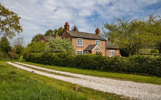
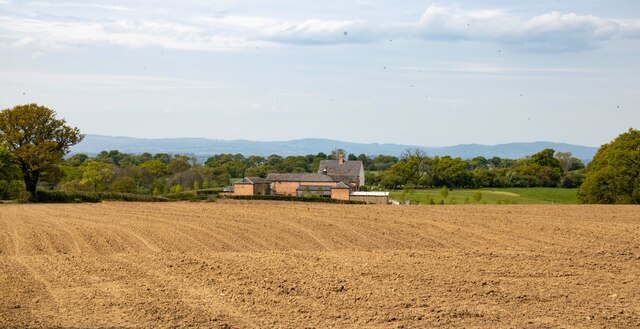
Higher Carden is a small rural village located in the county of Cheshire, England. Situated approximately 8 miles south of the town of Chester, the village is nestled amidst picturesque countryside, offering a tranquil and idyllic setting for its residents.
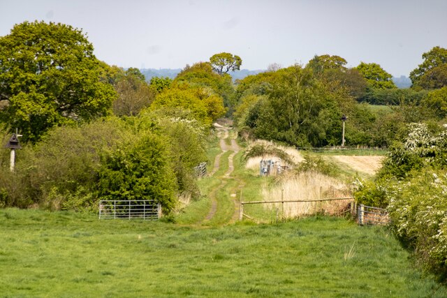
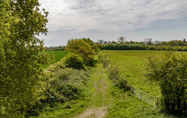
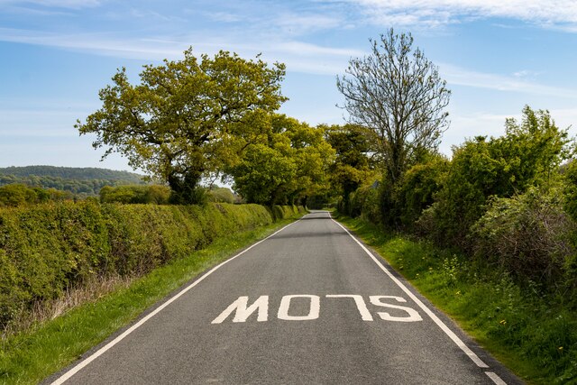
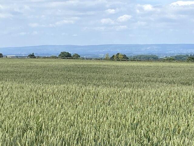
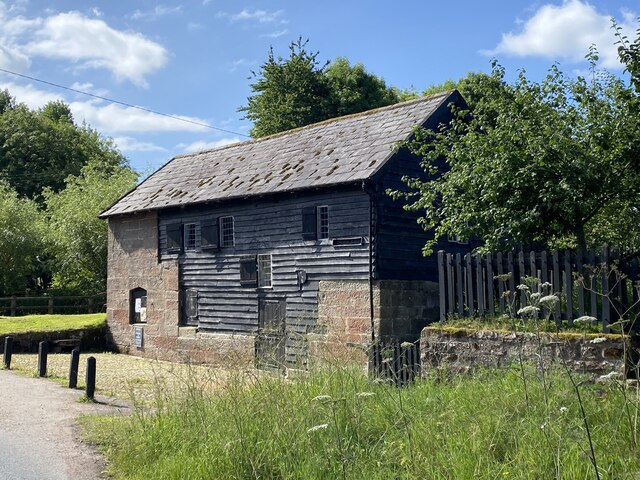
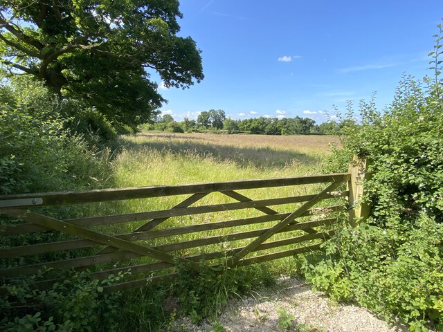
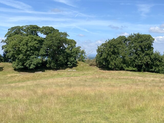
The village of Higher Carden is known for its charming rural character, with traditional stone cottages and farmhouses dotting the landscape. The surrounding countryside is primarily made up of rolling hills, lush green fields, and wooded areas, providing ample opportunities for outdoor activities such as hiking, cycling, and horseback riding.
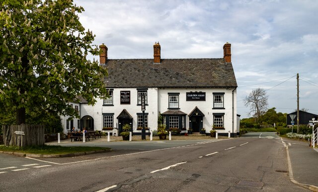
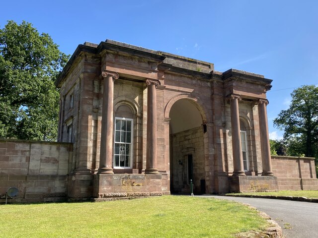
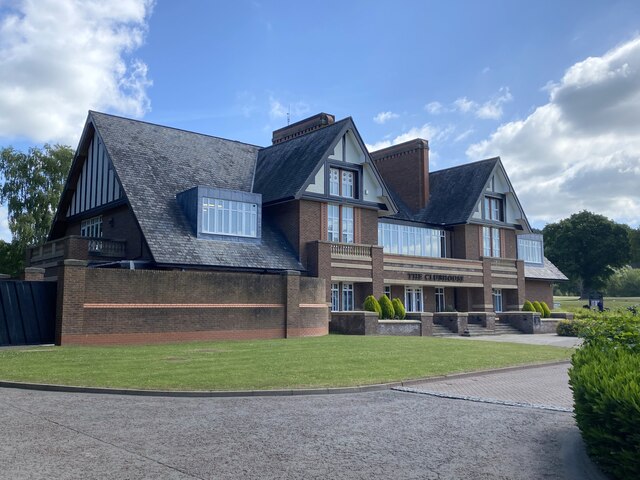
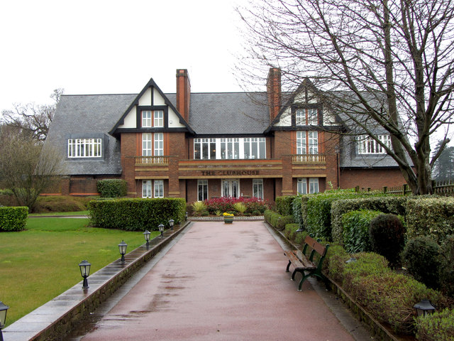
One of the notable features of Higher Carden is its close proximity to Carden Park, a renowned luxury hotel and golf resort. The resort boasts two championship golf courses, a luxurious spa, and a range of leisure facilities, making it a popular destination for both locals and tourists.
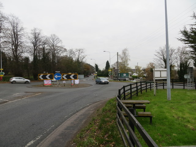
Despite its small size, Higher Carden benefits from excellent transport links. The nearby A41 road connects the village to Chester and other major towns in the region, providing easy access for commuters and visitors. Additionally, the village is served by a reliable bus service, ensuring convenient transportation for residents.
While Higher Carden may lack some of the amenities found in larger towns, its peaceful and picturesque setting, combined with its proximity to the amenities and attractions of Chester, make it an attractive place to live for those seeking a rural lifestyle with easy access to urban conveniences.
If you have any feedback on the listing, please let us know in the comments section below.
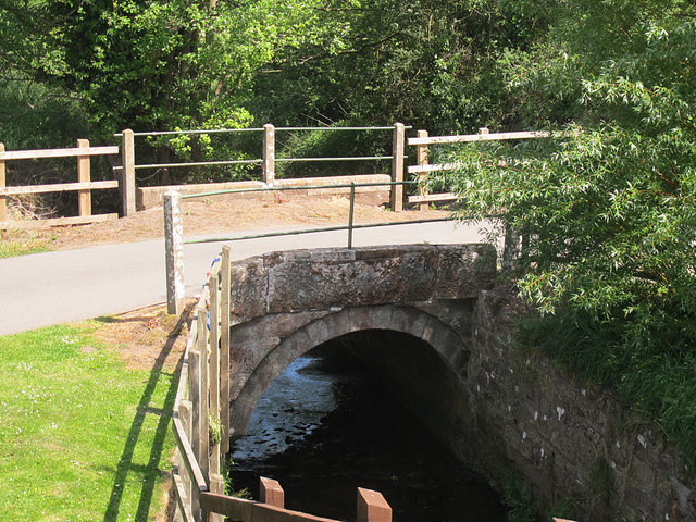
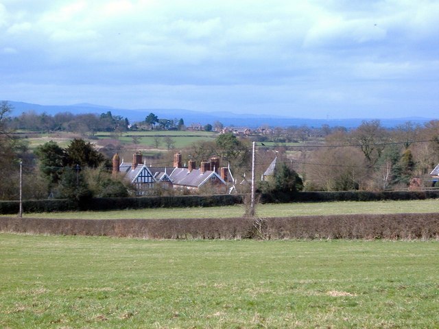
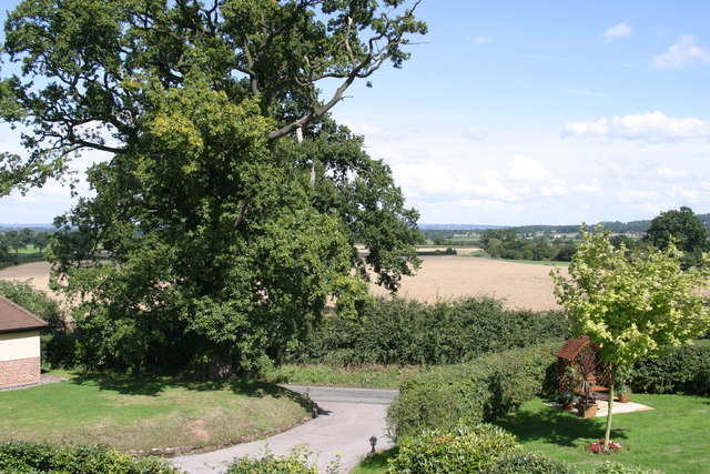
Higher Carden Images
Images are sourced within 2km of 53.071503/-2.7962329 or Grid Reference SJ4652. Thanks to Geograph Open Source API. All images are credited.

Higher Carden is located at Grid Ref: SJ4652 (Lat: 53.071503, Lng: -2.7962329)
Unitary Authority: Cheshire West and Chester
Police Authority: Cheshire
What 3 Words
///automatic.detonated.chiefs. Near Carden, Cheshire
Nearby Locations
Related Wikis

Carden, Cheshire
Carden is a small village and civil parish in the unitary authority of Cheshire West and Chester and the ceremonial county of Cheshire, England. The village...
Lower Carden Hall
Lower Carden Hall is a historic house in the civil parish of Carden, Cheshire, England. It is recorded in the National Heritage List for England as a...

Stretton Watermill
Stretton Watermill is a working historic watermill in Stretton, Cheshire, England. It is owned and administered by Cheshire West and Chester Council. The...
Clutton, Cheshire
Clutton is a village and civil parish in the unitary authority of Cheshire West and Chester and the ceremonial county of Cheshire, England. It lies nine...

Broxton, Cheshire
Broxton is a village and civil parish in the unitary authority of Cheshire West and Chester and the ceremonial county of Cheshire, England. The village...

Broxton railway station
Broxton railway station was a railway station near the village of Broxton, Cheshire on the Whitchurch and Tattenhall Railway. == History == Broxton opened...

Stretton Lower Hall
Stretton Lower Hall is in the parish of Stretton in Cheshire, England. It was built in 1660, on a site that was originally moated. The house is constructed...
Stretton Old Hall
Stretton Old Hall is in the parish of Stretton in Cheshire, England. It was built in the 17th century, and extended in the 19th century. It is constructed...
Nearby Amenities
Located within 500m of 53.071503,-2.7962329Have you been to Higher Carden?
Leave your review of Higher Carden below (or comments, questions and feedback).