Carden, Lower
Settlement in Cheshire
England
Carden, Lower
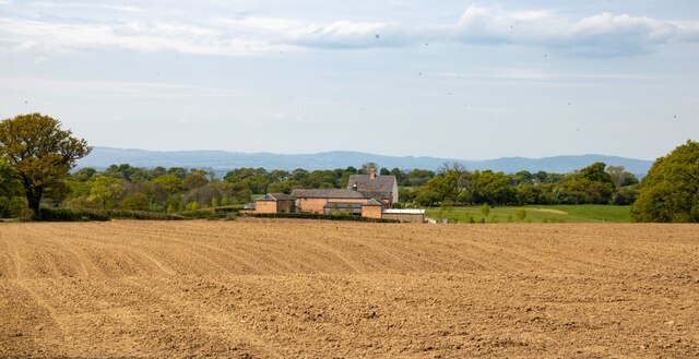
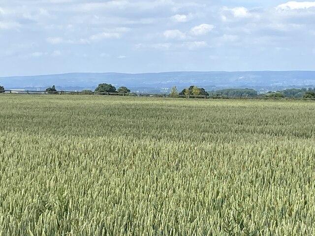
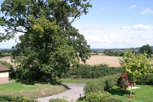
Carden is a small village located in the county of Cheshire, England. Situated in the picturesque area of Lower Carden, it is surrounded by rolling countryside and offers a tranquil setting for its residents. With a population of only a few hundred people, Carden maintains a close-knit community atmosphere.
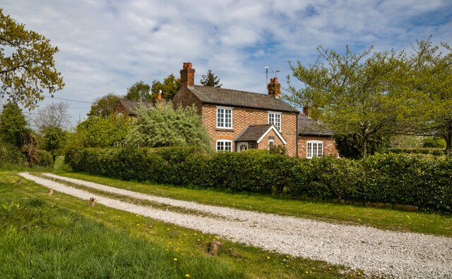
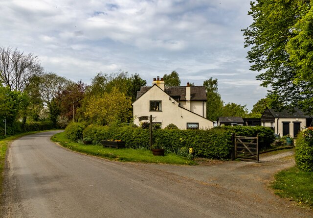
The village is known for its charming and historic architecture, with many buildings dating back to the 17th and 18th centuries. The iconic Carden Hall, a Grade II listed building, stands proudly as a testament to the area's rich heritage. The hall has been lovingly restored and is now a popular venue for weddings and events.
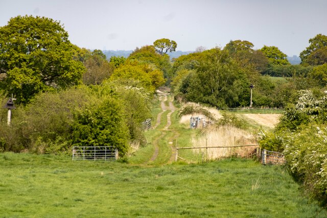
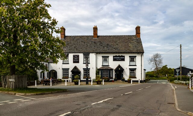
Despite its small size, Carden offers a range of amenities to cater to the needs of its residents. The village boasts a local pub, The Carden Arms, which is a popular gathering spot for both locals and visitors alike. Additionally, there are several picturesque walking trails and outdoor spaces, allowing residents to enjoy the natural beauty of the surrounding countryside.
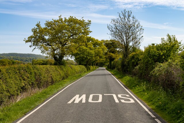
Carden's location in Cheshire also provides easy access to nearby towns and cities. The historic city of Chester is approximately 15 miles away, offering a wide range of shopping, leisure, and cultural opportunities. The village is well-connected by road, making it convenient for commuters who work in the surrounding areas.
Overall, Carden is a charming and idyllic village, combining its rich history with a strong sense of community. Its picturesque surroundings and convenient location make it an attractive place to live for those seeking a peaceful and rural lifestyle.
If you have any feedback on the listing, please let us know in the comments section below.
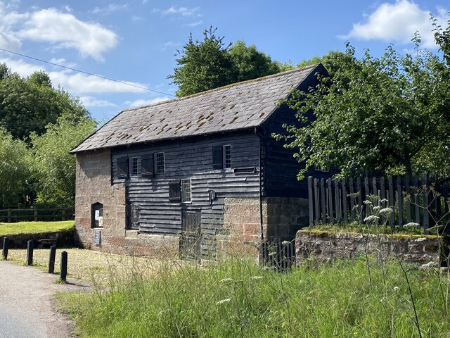
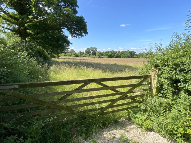
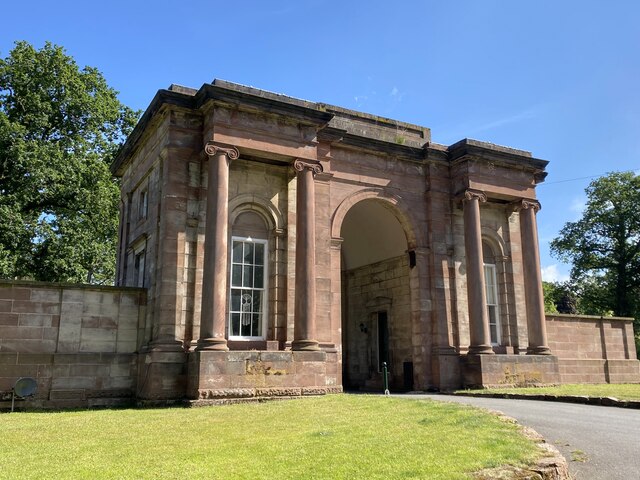
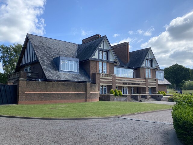
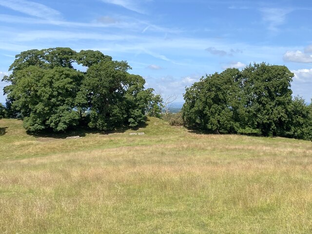
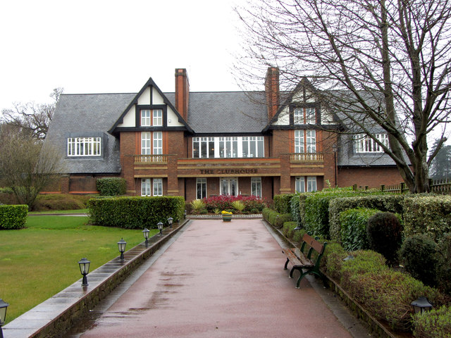
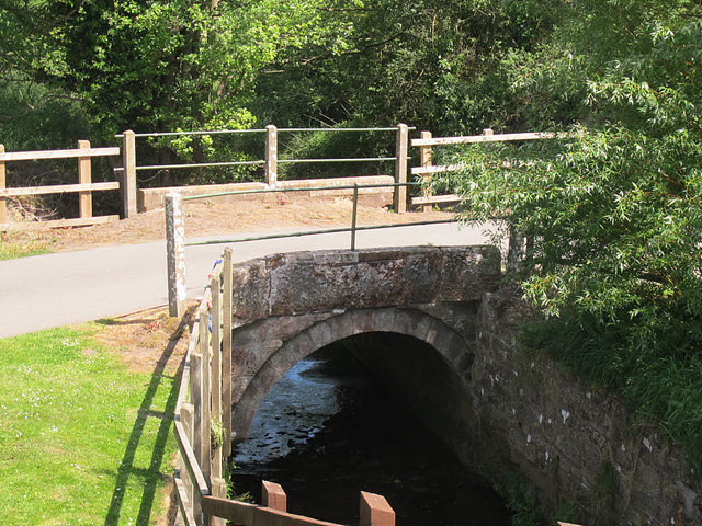
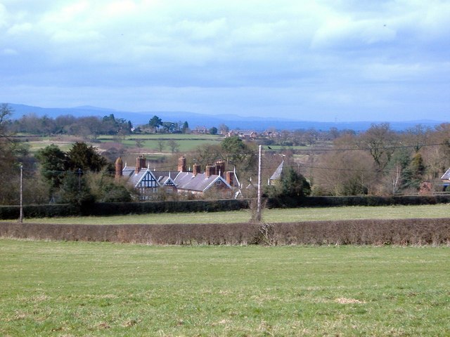
Carden, Lower Images
Images are sourced within 2km of 53.068884/-2.805149 or Grid Reference SJ4652. Thanks to Geograph Open Source API. All images are credited.


Carden, Lower is located at Grid Ref: SJ4652 (Lat: 53.068884, Lng: -2.805149)
Unitary Authority: Cheshire West and Chester
Police Authority: Cheshire
What 3 Words
///towels.weep.groups. Near Carden, Cheshire
Nearby Locations
Related Wikis

Carden, Cheshire
Carden is a small village and civil parish in the unitary authority of Cheshire West and Chester and the ceremonial county of Cheshire, England. The village...
Lower Carden Hall
Lower Carden Hall is a historic house in the civil parish of Carden, Cheshire, England. It is recorded in the National Heritage List for England as a...

Stretton Watermill
Stretton Watermill is a working historic watermill in Stretton, Cheshire, England. It is owned and administered by Cheshire West and Chester Council. The...

Stretton Old Hall
Stretton Old Hall is in the parish of Stretton in Cheshire, England. It was built in the 17th century, and extended in the 19th century. It is constructed...

Stretton Lower Hall
Stretton Lower Hall is in the parish of Stretton in Cheshire, England. It was built in 1660, on a site that was originally moated. The house is constructed...

Stretton, Cheshire West and Chester
Stretton is a hamlet and civil parish in the unitary authority of Cheshire West and Chester and the ceremonial county of Cheshire, England. The small,...

Stretton Hall, Cheshire
Stretton Hall is a country house in the parish of Stretton in Cheshire, England. It was built in about 1763 for John Leche. The house is constructed...
Clutton, Cheshire
Clutton is a village and civil parish in the unitary authority of Cheshire West and Chester and the ceremonial county of Cheshire, England. It lies nine...
Nearby Amenities
Located within 500m of 53.068884,-2.805149Have you been to Carden, Lower?
Leave your review of Carden, Lower below (or comments, questions and feedback).