Lower Carden

Settlement in Cheshire

England

Lower Carden

Old Hobb Hill Farm
Old Hobb Hill Farm Credit: Peter McDermott

Lower Carden is a small village located in the county of Cheshire, England. Situated in the northwestern part of the county, it is nestled amidst the picturesque countryside that Cheshire is renowned for. The village is part of the civil parish of Tilston, and falls within the district of Cheshire West and Chester.

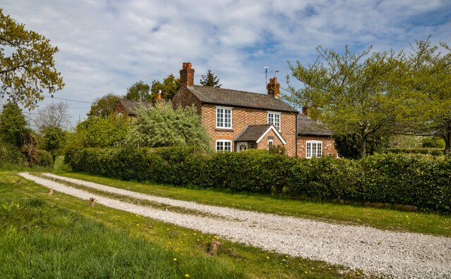
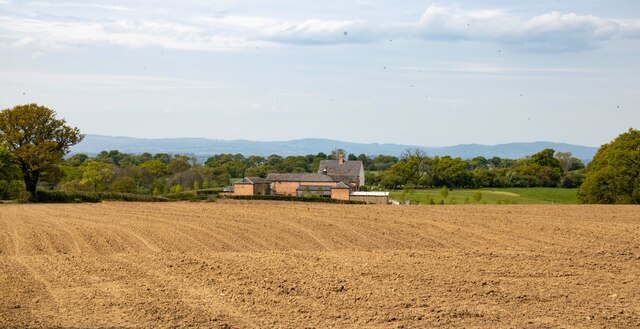
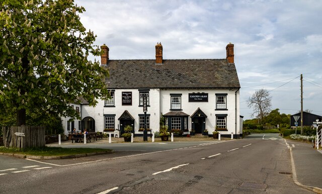
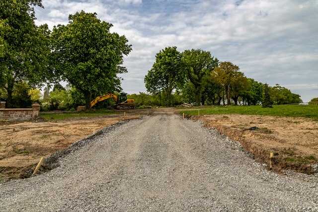
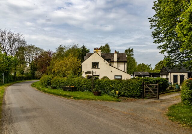
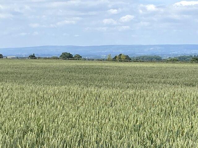
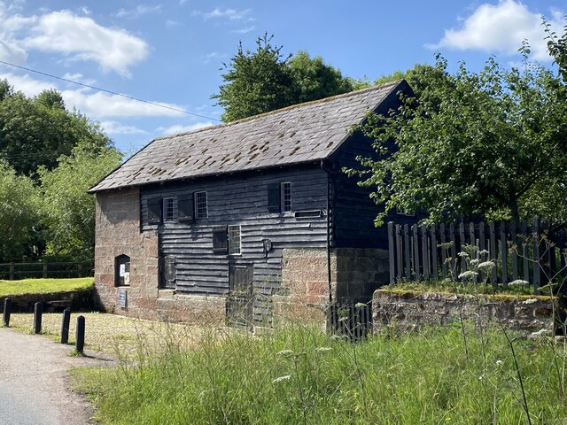
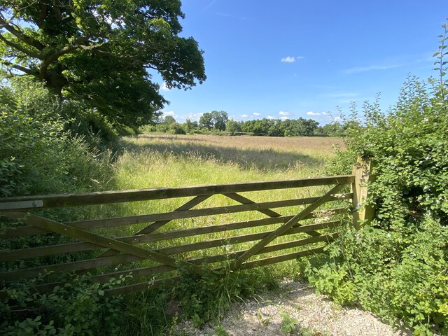
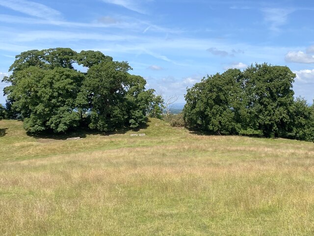
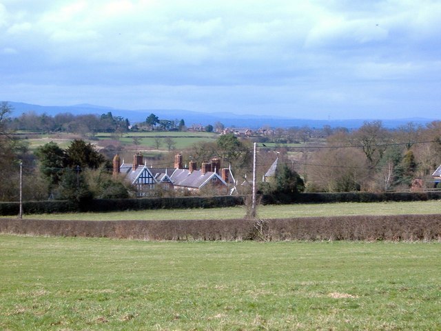
Lower Carden is a rural settlement with a relatively small population. The village is characterized by its charming cottages, traditional architecture, and tranquil atmosphere. The surrounding landscape is predominantly agricultural, with vast green fields, meadows, and rolling hills that add to the village's idyllic charm.

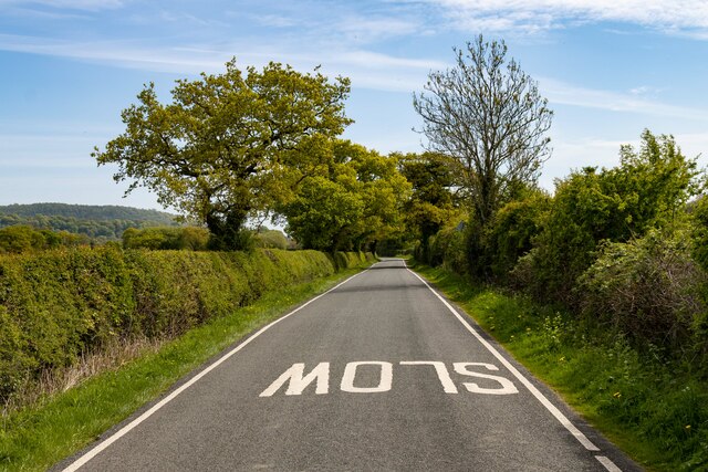
The village benefits from its proximity to nearby amenities and attractions. The market town of Whitchurch is just a short drive away, offering a range of shops, restaurants, and services. Lower Carden is also within easy reach of the historic city of Chester, known for its Roman walls, stunning cathedral, and vibrant shopping district.

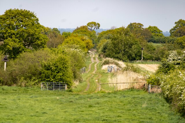
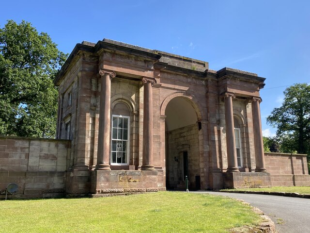
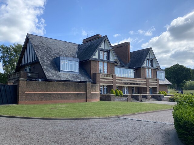
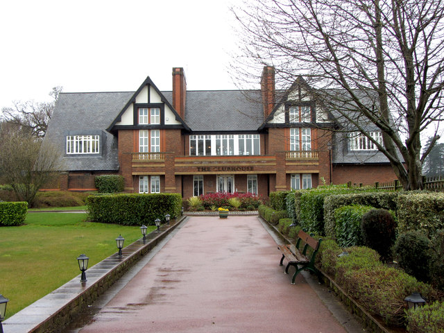
The area surrounding Lower Carden is rich in natural beauty, making it an ideal destination for outdoor enthusiasts. There are numerous walking and cycling routes that allow residents and visitors to explore the stunning countryside. Carden Park, a luxury hotel and golf resort, is located nearby, providing additional recreational facilities and activities.

In summary, Lower Carden is a charming and peaceful village in the heart of the Cheshire countryside. Its rural setting, traditional architecture, and proximity to amenities and attractions make it an attractive place to live or visit for those seeking a tranquil retreat.

If you have any feedback on the listing, please let us know in the comments section below.

Lower Carden Images

Images are sourced within 2km of 53.068884/-2.805149 or Grid Reference SJ4652. Thanks to Geograph Open Source API. All images are credited.

Old Hobb Hill Farm
Old Hobb Hill Farm
Isle Farm
Isle Farm
Whitchurch and Tattenhall Railway Trackbed of the dismantled Whitchurch and Tattenhall Railway line.
Whitchurch and Tattenhall Railway
Trackbed of the dismantled Whitchurch and Tattenhall Railway line.
Duckington Lane
Duckington Lane
Garden Arms The Garden Arms public house in Tilston.
Garden Arms
The Garden Arms public house in Tilston.
Grafton Hall New access to Grafton Hall.
Grafton Hall
New access to Grafton Hall.
Wetreins Cottage
Wetreins Cottage
Field of wheat With distant views of the Welsh hills.
Field of wheat
With distant views of the Welsh hills.
Stretton Mill
Stretton Mill
Gate into field East of Stretton Mill.
Gate into field
East of Stretton Mill.
Rear gatehouse to Carden Hall
Club House, Carden Park Golf Course
Parker's Hill Field with mature trees.
Parker's Hill
Field with mature trees.
The Cock O'Barton Dining pub on the A534.
The Cock O'Barton
Dining pub on the A534.
Gate into field Just south of Barton.
Gate into field
Just south of Barton.
Direction Sign – Signpost on the A534 at Clutton Located on the north side of the junction of the A534 Broxton Road and Carden Lane in Clutton parish. 4 arms, 1 missing, and pawn finial. For an older photo, see <a title="https://www.geograph.org.uk/photo/6045447" href="https://www.geograph.org.uk/photo/6045447">Link</a>.

Milestone Society National ID: CH_SJ4654
Direction Sign – Signpost on the A534 at Clutton
Located on the north side of the junction of the A534 Broxton Road and Carden Lane in Clutton parish. 4 arms, 1 missing, and pawn finial. For an older photo, see Link. Milestone Society National ID: CH_SJ4654
Carden Park Clubhouse
Ordnance Survey Flush Bracket S1195 This can be found on a roadside wall of a building in Barton Road, Barton.
For more detail see : <span class="nowrap"><a title="http://www.bench-marks.org.uk/bm2489" rel="nofollow ugc noopener" href="http://www.bench-marks.org.uk/bm2489">Link</a><img style="margin-left:2px;" alt="External link" title="External link - shift click to open in new window" src="https://s1.geograph.org.uk/img/external.png" width="10" height="10"/></span>
Ordnance Survey Flush Bracket S1195
This can be found on a roadside wall of a building in Barton Road, Barton. For more detail see : LinkExternal link
Show me another place!

Lower Carden is located at Grid Ref: SJ4652 (Lat: 53.068884, Lng: -2.805149)

Unitary Authority: Cheshire West and Chester

Police Authority: Cheshire

What 3 Words

///towels.weep.groups. Near Carden, Cheshire

Related Wikis

Carden, Cheshire

Carden is a small village and civil parish in the unitary authority of Cheshire West and Chester and the ceremonial county of Cheshire, England. The village...

Lower Carden Hall

Lower Carden Hall is a historic house in the civil parish of Carden, Cheshire, England. It is recorded in the National Heritage List for England as a...

Stretton Watermill

Stretton Watermill is a working historic watermill in Stretton, Cheshire, England. It is owned and administered by Cheshire West and Chester Council. The...

Stretton Old Hall

Stretton Old Hall is in the parish of Stretton in Cheshire, England. It was built in the 17th century, and extended in the 19th century. It is constructed...

Nearby Amenities

Located within 500m of 53.068884,-2.805149
Barrier: bollard
Lat/Long: 53.0727087/-2.804255
Barrier: stile
Foot: yes
Lat/Long: 53.0676517/-2.7987106
Barrier: horse_jump
Foot: no
Horse: yes
Lat/Long: 53.0677845/-2.7992375
Bus Stop
Lower Carden, Carden Lodge
Bus: yes
Naptan AtcoCode: 0610CH19153
Naptan Bearing: E
Naptan BusStopType: HAR
Naptan CommonName: Carden Lodge
Naptan Indicator: E-bound
Naptan Landmark: Carden Lodge
Naptan LocalityName: Lower Carden
Naptan NaptanCode: chwadpgw
Naptan ShortCommonName: Carden Lodge
Naptan Street: Carden Lodge
Public Transport: platform
Source: naptan_import
Lat/Long: 53.0703776/-2.8063657
Barrier: cycle_barrier
Cycle Barrier: double
Material: metal
Lat/Long: 53.0730576/-2.8059273
The data included in this document is from www.openstreetmap.org. The data is made available under ODbL.

Have you been to Lower Carden?

Leave your review of Lower Carden below (or comments, questions and feedback).