Higher Bosavern
Settlement in Cornwall
England
Higher Bosavern
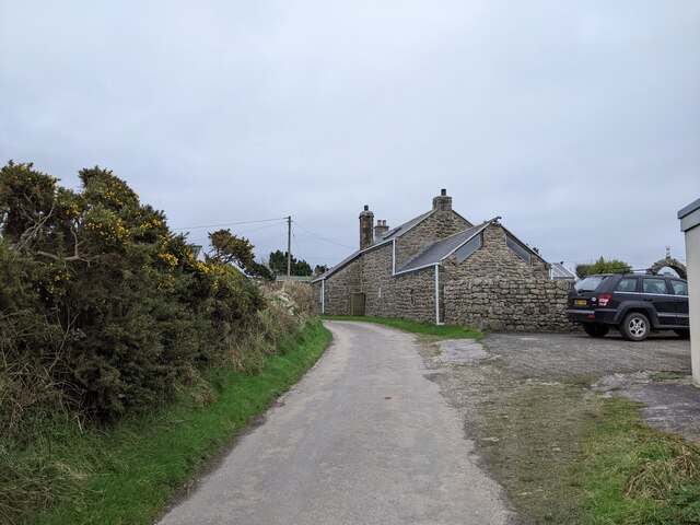
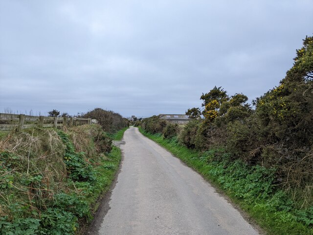
Higher Bosavern is a small hamlet located in the southwestern part of Cornwall, England. Situated just a few miles away from the popular town of St. Just, Higher Bosavern enjoys a picturesque rural setting with rolling hills, beautiful countryside, and stunning coastal views of the Atlantic Ocean.
The hamlet consists of a cluster of houses and farms, surrounded by lush green fields and farmland. It is known for its tranquil and peaceful atmosphere, making it an ideal destination for those seeking a relaxing getaway or a break from the bustling city life.
Higher Bosavern is also rich in history and culture, with many traditional Cornish stone houses still standing. The area has a strong agricultural heritage, and visitors can catch a glimpse of the local farming traditions that have been passed down through generations.
Nature lovers will appreciate the proximity of Higher Bosavern to some of Cornwall's most beautiful natural attractions. The South West Coast Path, which is renowned for its breathtaking views, is easily accessible from the hamlet. Visitors can enjoy long walks along the cliff tops, admiring the stunning scenery and spotting a variety of wildlife.
Overall, Higher Bosavern provides a peaceful and idyllic retreat in the heart of Cornwall's countryside. Whether it's exploring the nearby coastal paths, immersing oneself in the local history, or simply enjoying the tranquility of the rural surroundings, Higher Bosavern offers a true taste of Cornwall's natural beauty and charm.
If you have any feedback on the listing, please let us know in the comments section below.
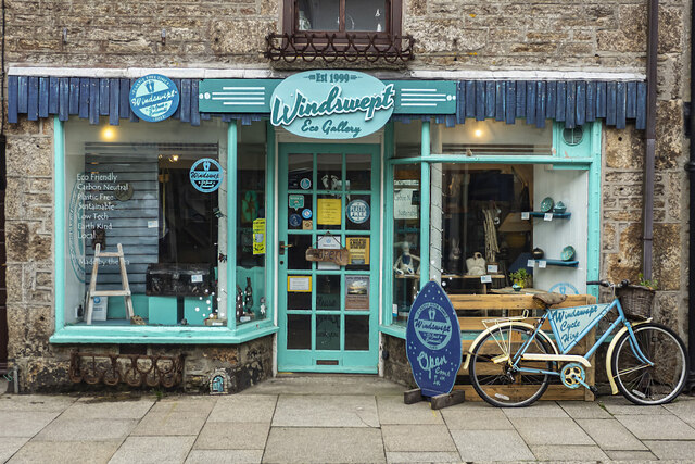
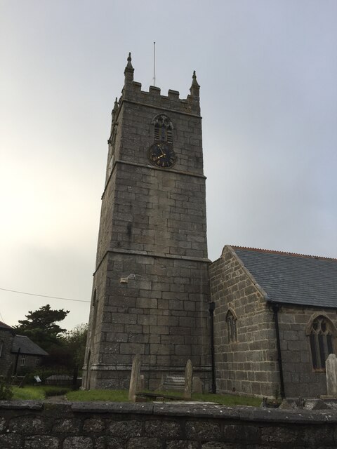
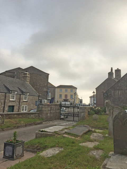
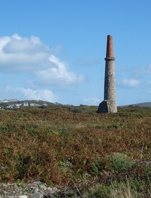
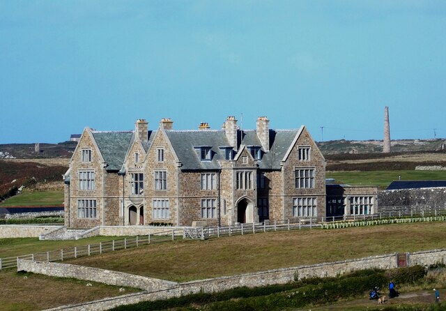
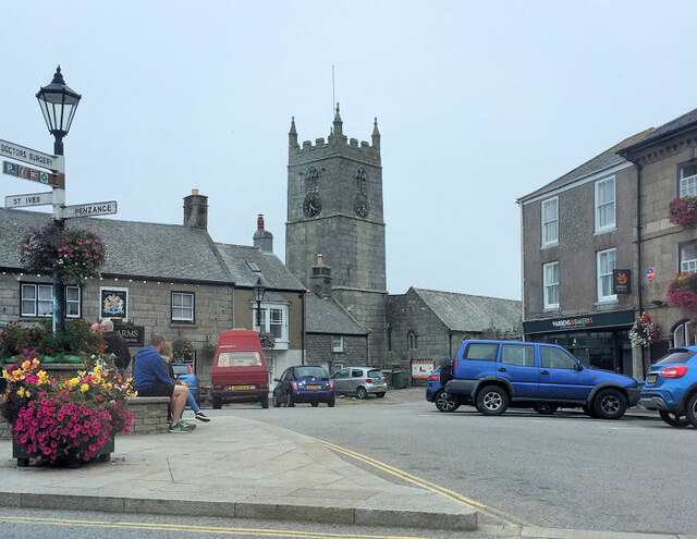
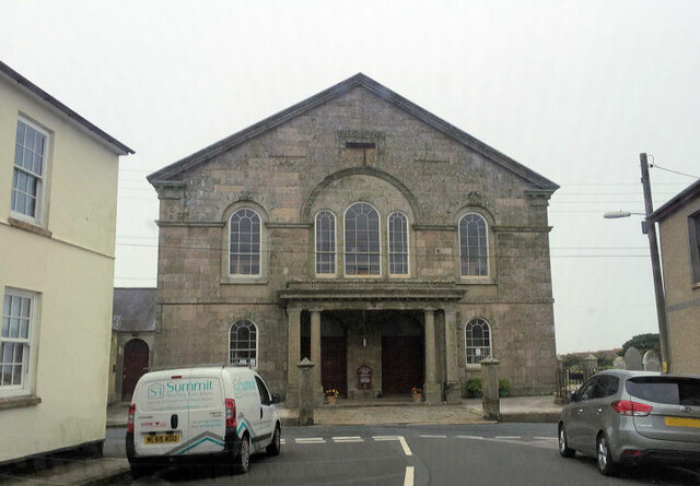
Higher Bosavern Images
Images are sourced within 2km of 50.119008/-5.6764634 or Grid Reference SW3730. Thanks to Geograph Open Source API. All images are credited.


Higher Bosavern is located at Grid Ref: SW3730 (Lat: 50.119008, Lng: -5.6764634)
Unitary Authority: Cornwall
Police Authority: Devon and Cornwall
What 3 Words
///dumpling.unfounded.blur. Near St Just, Cornwall
Nearby Locations
Related Wikis

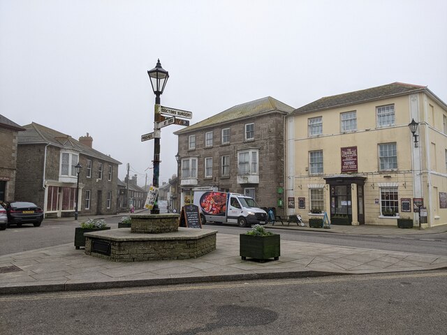
St Just in Penwith
St Just (Cornish: Lan(n)ust), known as St Just in Penwith, is a town and civil parish in the Penwith district of Cornwall, England, United Kingdom. It...

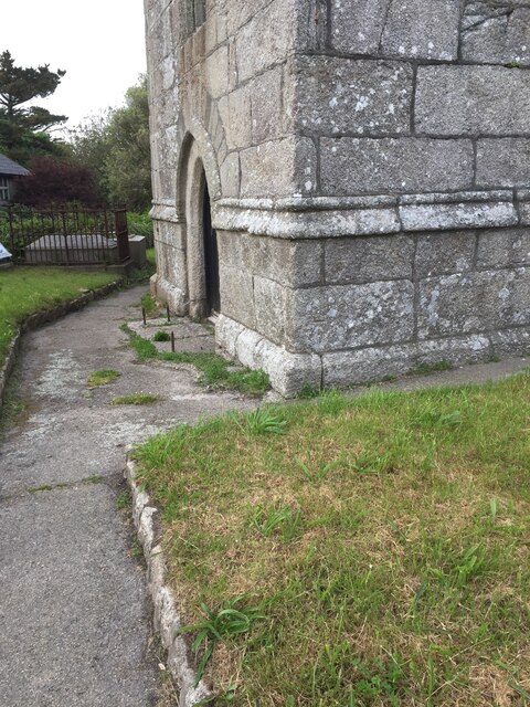
St Just in Penwith Parish Church
St Just in Penwith Parish Church is a parish church in the Church of England located in St Just in Penwith, Cornwall, UK. == History == The church is dedicated...

Cape Cornwall School
Cape Cornwall School is a coeducational secondary school located in St Just in Penwith, Cornwall, England. As of January 2022, the school had 270 pupils...

Kelynack
Kelynack (from Cornish: Kelynek is a settlement in west Cornwall, England, UK. == Geography == Kelynack is on the Penwith peninsula approximately four...
Nearby Amenities
Located within 500m of 50.119008,-5.6764634Have you been to Higher Bosavern?
Leave your review of Higher Bosavern below (or comments, questions and feedback).