Kelynack Moor
Downs, Moorland in Cornwall
England
Kelynack Moor
Kelynack Moor is a picturesque and expansive area of downs and moorland located in the southwestern county of Cornwall, England. Situated near the village of St Just, it covers an area of approximately 1.5 square kilometers. The moorland is characterized by its rugged beauty and wild, untamed landscape, making it a popular destination for nature enthusiasts and hikers.
The terrain of Kelynack Moor is predominantly open and undulating, with patches of heather, gorse, and grasses covering the land. The area is dotted with granite outcrops and scattered boulders, adding to its dramatic appeal. The moorland is crisscrossed by a network of footpaths and trails, allowing visitors to explore its diverse flora and fauna.
Wildlife thrives in Kelynack Moor, with a variety of bird species, including the iconic Cornish chough, often spotted in the area. The moorland is also home to a range of small mammals, such as rabbits and voles, as well as reptiles like adders and slow worms.
The views from Kelynack Moor are truly breathtaking, with panoramic vistas of the surrounding countryside, including the rugged coastline and the Atlantic Ocean. On clear days, it is possible to see as far as the Isles of Scilly, adding to the allure of this natural landscape.
Kelynack Moor offers a tranquil and peaceful retreat, away from the hustle and bustle of city life. It provides visitors with the opportunity to connect with nature, breathe in the fresh air, and enjoy the beauty of Cornwall's wild and untouched landscapes.
If you have any feedback on the listing, please let us know in the comments section below.
Kelynack Moor Images
Images are sourced within 2km of 50.112463/-5.6675111 or Grid Reference SW3730. Thanks to Geograph Open Source API. All images are credited.


Kelynack Moor is located at Grid Ref: SW3730 (Lat: 50.112463, Lng: -5.6675111)
Unitary Authority: Cornwall
Police Authority: Devon and Cornwall
What 3 Words
///beak.jigsaw.stacks. Near St Just, Cornwall
Nearby Locations
Related Wikis

Kelynack
Kelynack (from Cornish: Kelynek is a settlement in west Cornwall, England, UK. == Geography == Kelynack is on the Penwith peninsula approximately four...

Land's End Airport
Land's End Airport (IATA: LEQ, ICAO: EGHC), situated near St Just in Penwith, 5 NM (9.3 km; 5.8 mi) west of Penzance, in Cornwall, is the most south westerly...

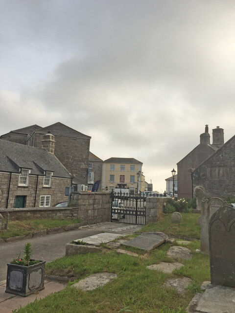
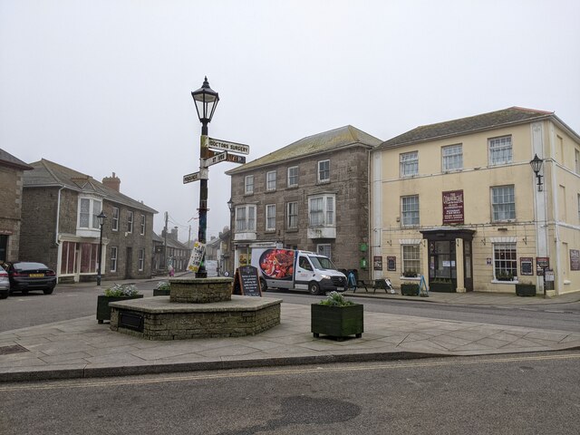
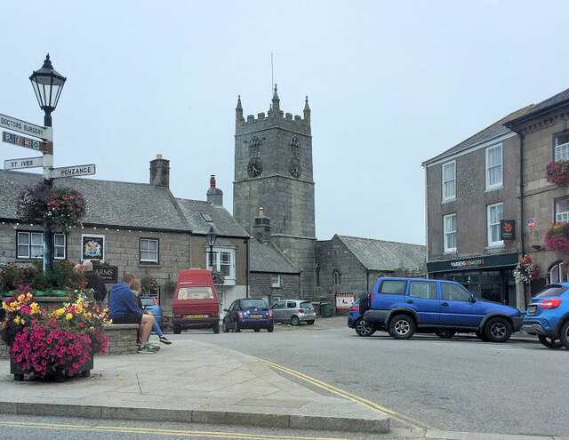
St Just in Penwith
St Just (Cornish: Lan(n)ust), known as St Just in Penwith, is a town and civil parish in the Penwith district of Cornwall, England, United Kingdom. It...

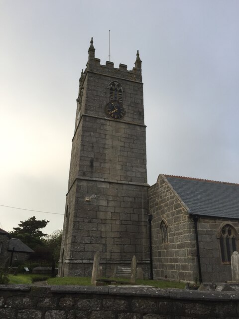
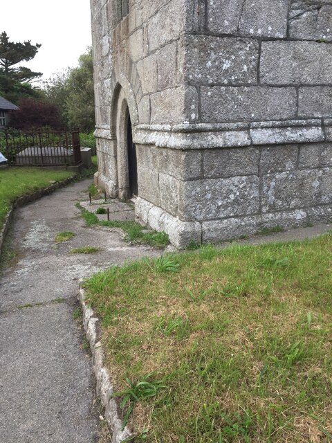
St Just in Penwith Parish Church
St Just in Penwith Parish Church is a parish church in the Church of England located in St Just in Penwith, Cornwall, UK. == History == The church is dedicated...
Nearby Amenities
Located within 500m of 50.112463,-5.6675111Have you been to Kelynack Moor?
Leave your review of Kelynack Moor below (or comments, questions and feedback).