Bosavern
Settlement in Cornwall
England
Bosavern
The requested URL returned error: 429 Too Many Requests
If you have any feedback on the listing, please let us know in the comments section below.
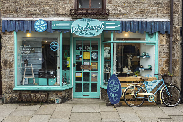
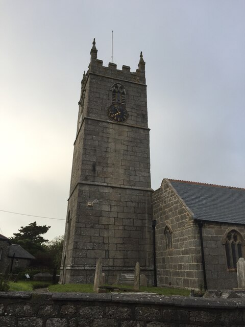
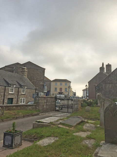
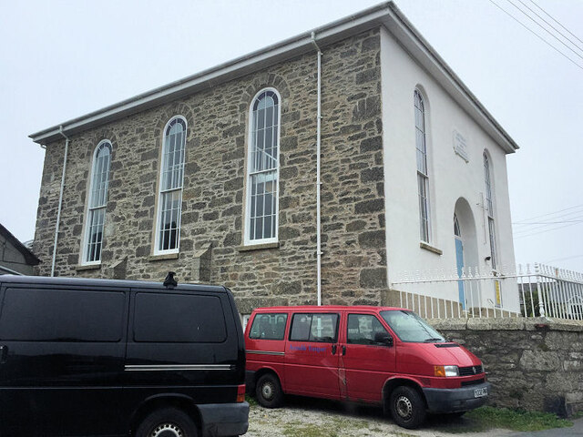
Bosavern Images
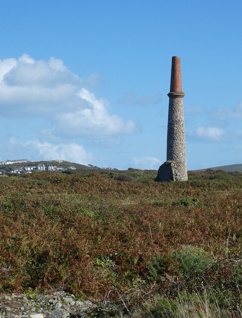
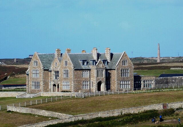
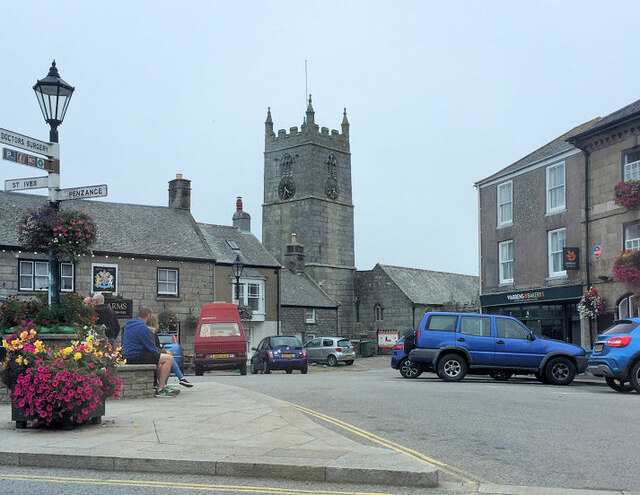
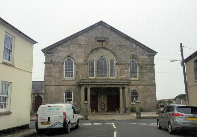
Images are sourced within 2km of 50.115754/-5.6800616 or Grid Reference SW3730. Thanks to Geograph Open Source API. All images are credited.


Bosavern is located at Grid Ref: SW3730 (Lat: 50.115754, Lng: -5.6800616)
Unitary Authority: Cornwall
Police Authority: Devon and Cornwall
What 3 Words
///recur.clicker.basics. Near St Just, Cornwall
Nearby Locations
Related Wikis

Kelynack
Kelynack (from Cornish: Kelynek is a settlement in west Cornwall, England, UK. == Geography == Kelynack is on the Penwith peninsula approximately four...

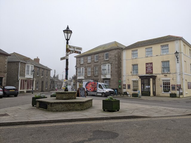
St Just in Penwith
St Just (Cornish: Lan(n)ust), known as St Just in Penwith, is a town and civil parish in the Penwith district of Cornwall, England, United Kingdom. It...

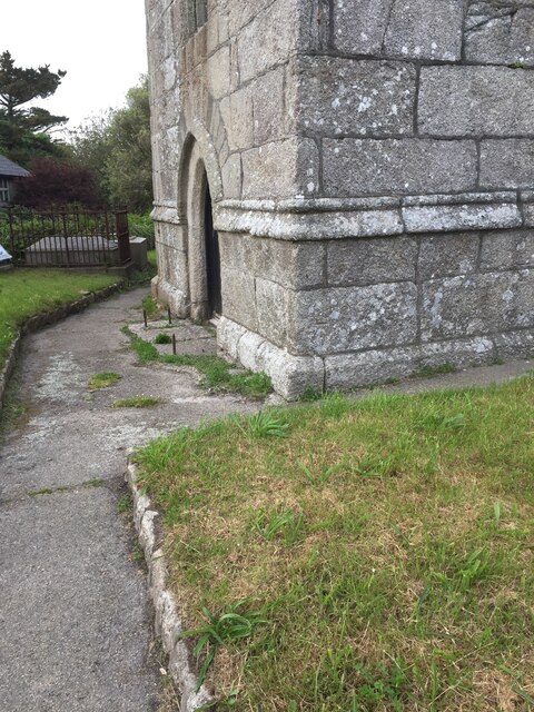
St Just in Penwith Parish Church
St Just in Penwith Parish Church is a parish church in the Church of England located in St Just in Penwith, Cornwall, UK. == History == The church is dedicated...

Cape Cornwall School
Cape Cornwall School is a coeducational secondary school located in St Just in Penwith, Cornwall, England. As of January 2022, the school had 270 pupils...
Nearby Amenities
Located within 500m of 50.115754,-5.6800616Have you been to Bosavern?
Leave your review of Bosavern below (or comments, questions and feedback).