Higher Bockhampton
Settlement in Dorset
England
Higher Bockhampton
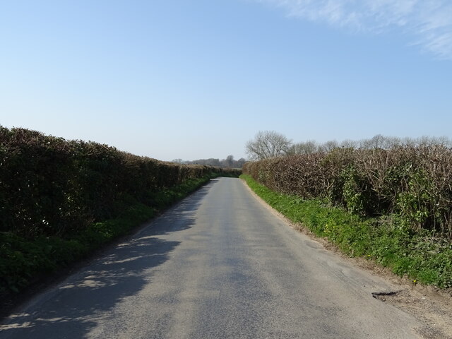
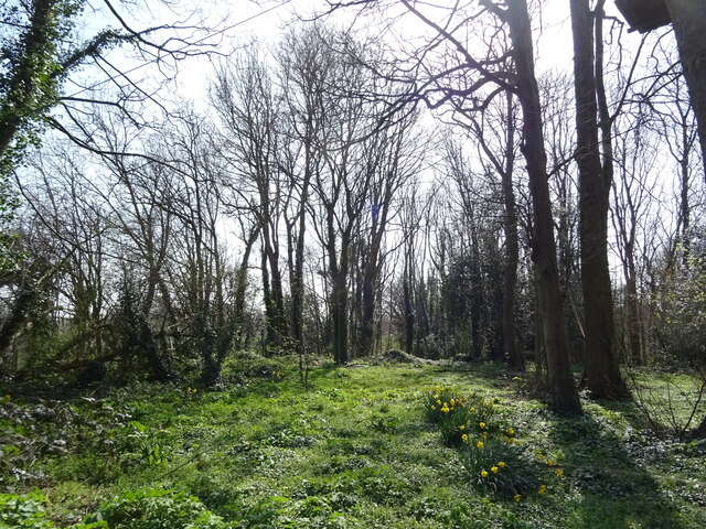
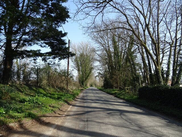
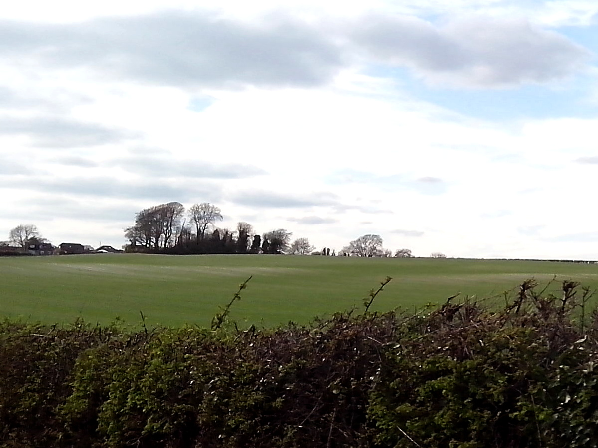
Higher Bockhampton is a small village located in the county of Dorset, England. Situated approximately three miles east of the town of Dorchester, it lies within the civil parish of Stinsford. The village is surrounded by picturesque countryside, characterized by rolling hills, lush green fields, and quaint cottages.
Historically, Higher Bockhampton is well-known as the birthplace and childhood home of the renowned English novelist and poet, Thomas Hardy. The author's birthplace, a thatched cottage named Hardy's Cottage, still stands in the village and is open to the public as a museum, providing visitors with a glimpse into Hardy's early life and the inspiration behind his works.
The village itself is relatively small, with a close-knit community that maintains a peaceful and traditional atmosphere. The surrounding area offers a variety of outdoor activities, including walking trails and cycling routes, allowing residents and visitors to explore the beautiful Dorset countryside.
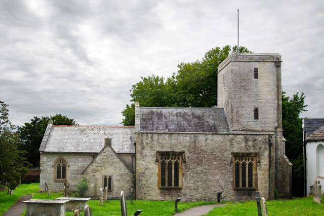
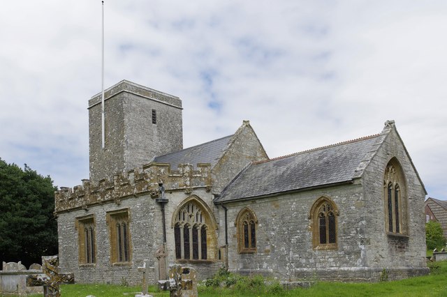
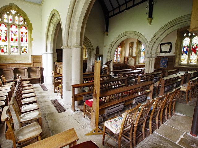
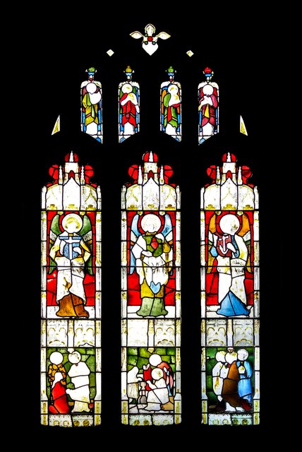
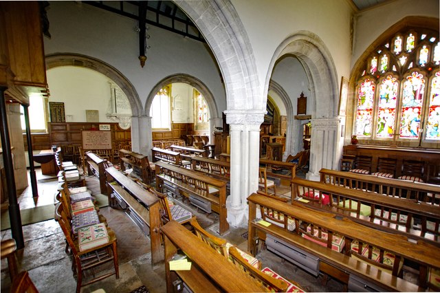
Higher Bockhampton is also home to the Stinsford Church, where Thomas Hardy's heart is buried. This 13th-century church adds to the village's historical charm and attracts literary enthusiasts from around the world.
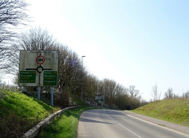
Despite its size, Higher Bockhampton benefits from its proximity to Dorchester, which provides residents with access to a range of amenities, including shops, schools, and healthcare facilities. The village is well-connected by road, with the A35 passing nearby, providing easy access to neighboring towns and cities.
Overall, Higher Bockhampton is a charming and idyllic village that holds great significance in the literary world, attracting visitors who wish to explore the birthplace of one of England's most celebrated authors.
If you have any feedback on the listing, please let us know in the comments section below.
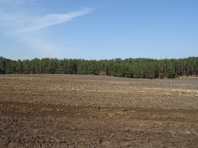
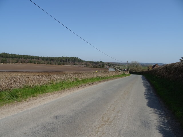
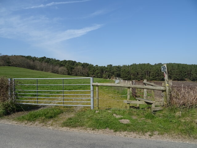
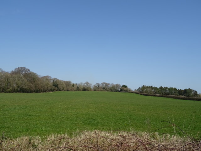
Higher Bockhampton Images
Images are sourced within 2km of 50.729097/-2.3928814 or Grid Reference SY7292. Thanks to Geograph Open Source API. All images are credited.


Higher Bockhampton is located at Grid Ref: SY7292 (Lat: 50.729097, Lng: -2.3928814)
Unitary Authority: Dorset
Police Authority: Dorset
Also known as: Upper Bockhampton
What 3 Words
///lakeside.central.arching. Near Dorchester, Dorset
Nearby Locations
Related Wikis

Thomas Hardy's Cottage
Thomas Hardy's Cottage, in Higher Bockhampton, Dorset, is a small cob and thatch building that is the birthplace of the English author Thomas Hardy. He...
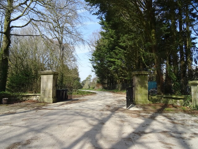
Kingston Maurward College
Kingston Maurward College is a college for land-based studies situated two miles east of Dorchester, Dorset, England. The college is a member of the Landex...
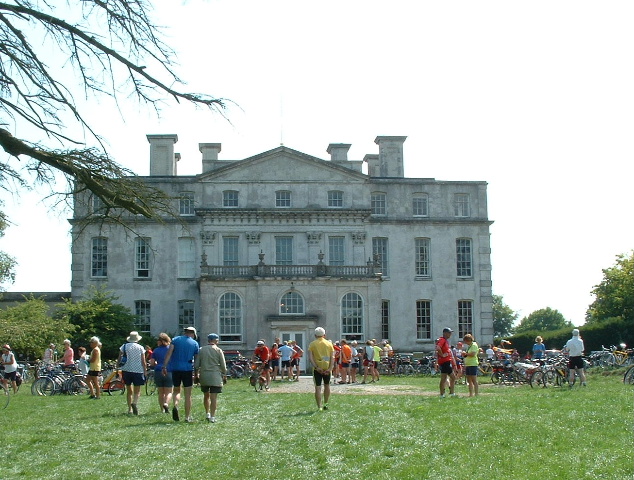
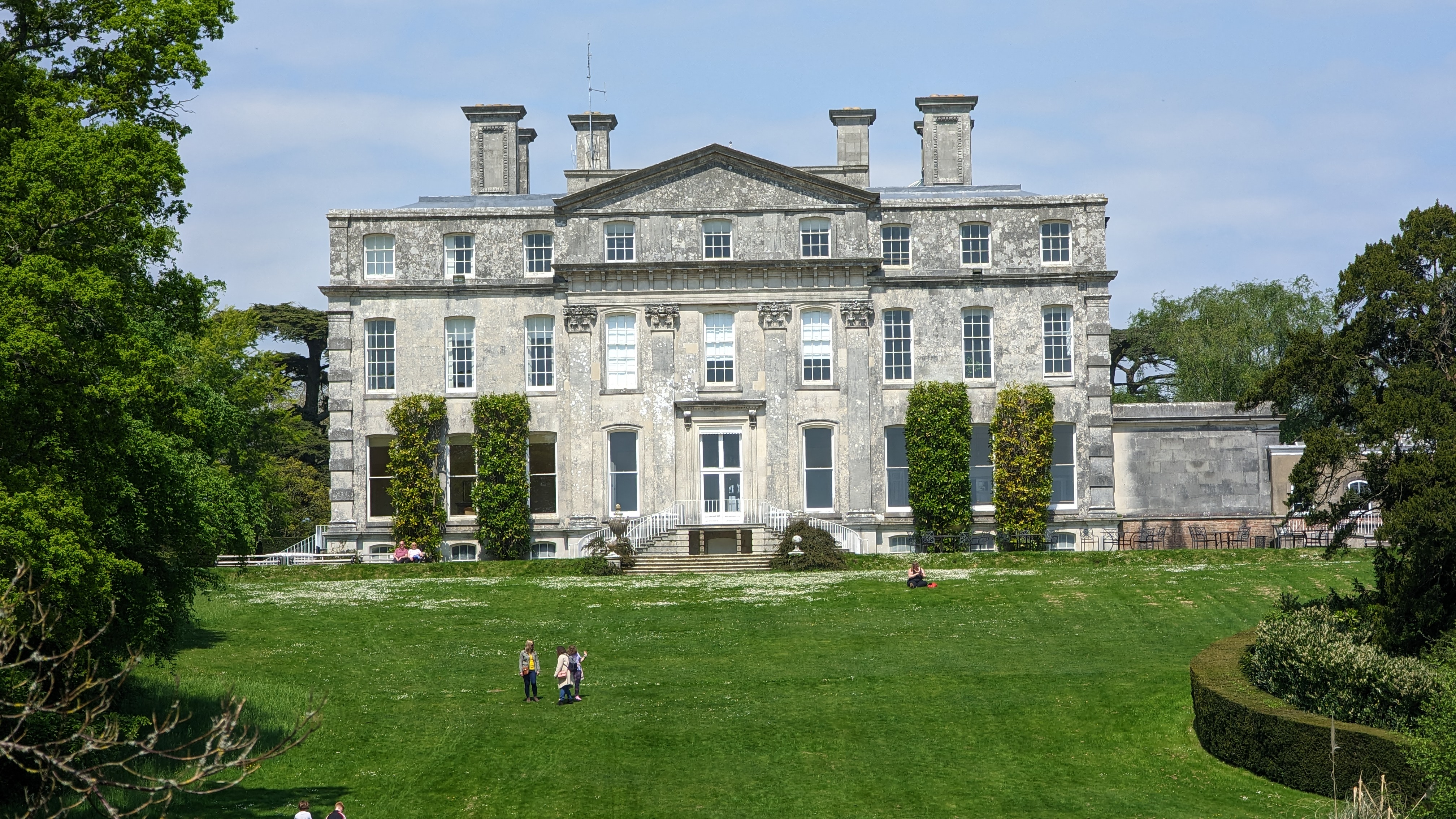
Kingston Maurward House
Kingston Maurward House is a large Grade I listed Georgian English country house set in a 750-acre (3 square km) estate in Dorset situated in the Frome...

Stinsford
Stinsford is a village and civil parish in southwest Dorset, England, about 1 mile (1.6 km) east of Dorchester. The parish includes the settlements of...

Frome Billet
Frome Billet is a former village in Dorset, just to the north of West Stafford.It is mentioned in the Domesday Book. There is slight archaeological evidence...
Mount Pleasant henge
Mount Pleasant henge is a Neolithic henge enclosure in the English county of Dorset. It lies southeast of Dorchester in the civil parish of West Stafford...

West Stafford
West Stafford is a village and civil parish in southwest Dorset, England, situated in the Frome valley 2 miles (3.2 km) east of Dorchester. In the 2011...
Fordington (liberty)
Fordington Liberty was a liberty in the county of Dorset, England, containing the following parishes: Fordington Hermitage Minterne Magna (part) Stockland...
Related Videos
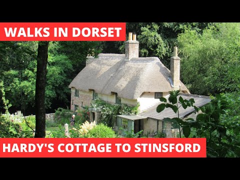
WALKS IN DORSET at HIGHER BOCKHAMTON, STINSFORD & KINGSTON MAURWARD (& THOMAS HARDY'S COTTAGE)
In this episode of my series “ Walks in Dorset”, I take a 6 mile circular walk that is effectively a “cradle to grave” homage to the ...

Kingston Maurward Dorset ~ Sept Holiday 2019 Vlog #2 Day #4
kingstonmaurward #dorset #placestovisitindorset #caravanningUKcommunity #holidaysindorset #holiday Today we visit Kingston ...

Thomas Hardy's Cottage Dorset ~ June Holiday 2019 Day #5
caravanningUKcommunity #placetovisitindorset #holidaysindorset #thomashardyscottage #dorset After a dull start to the day it ...

6,459 Steps (Puddletown Forest moving)
This is the moving image component of my 6459 step walk in Puddletown Forest. This has been filmed using a GoPro on a chest ...
Nearby Amenities
Located within 500m of 50.729097,-2.3928814Have you been to Higher Bockhampton?
Leave your review of Higher Bockhampton below (or comments, questions and feedback).