Black Heath
Wood, Forest in Dorset
England
Black Heath
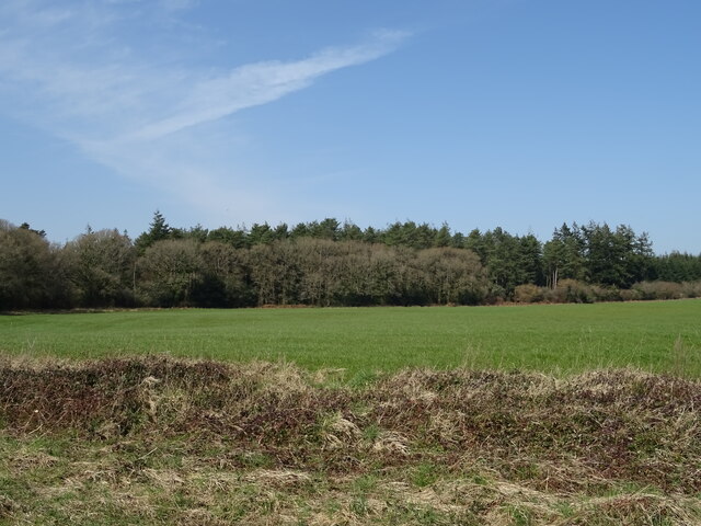
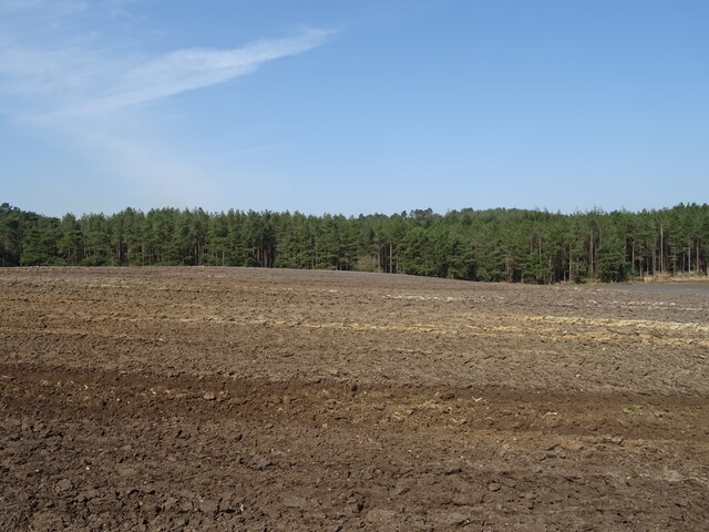
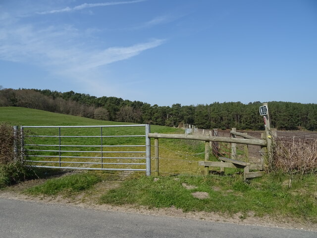
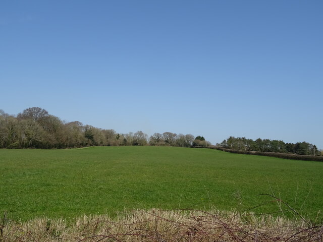
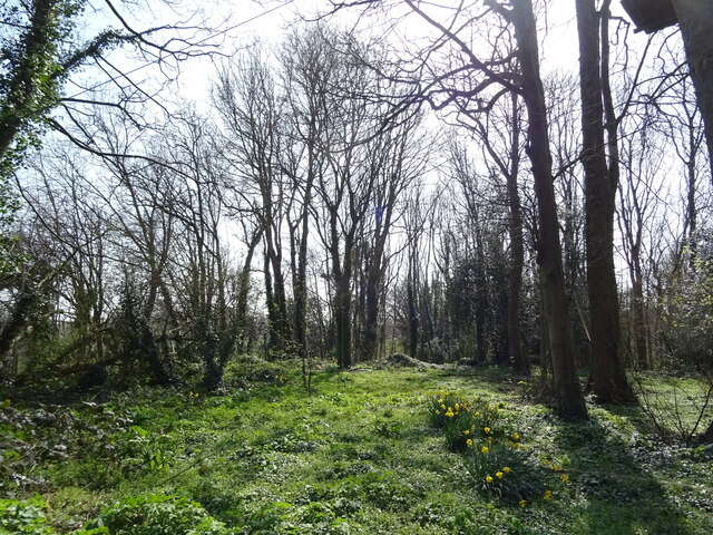
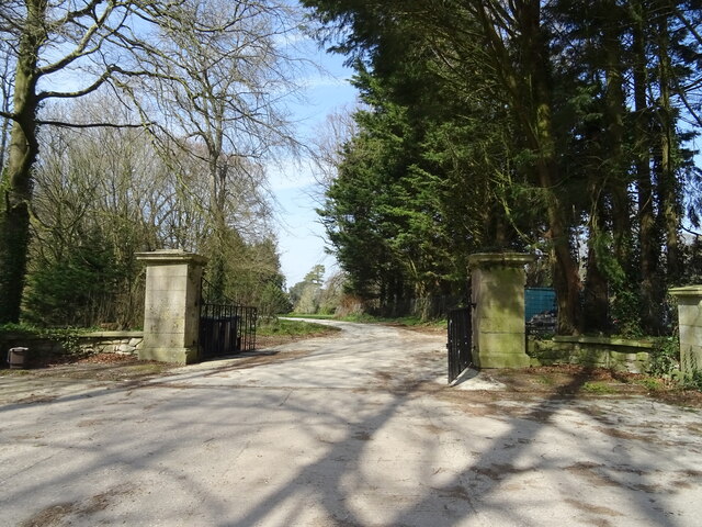
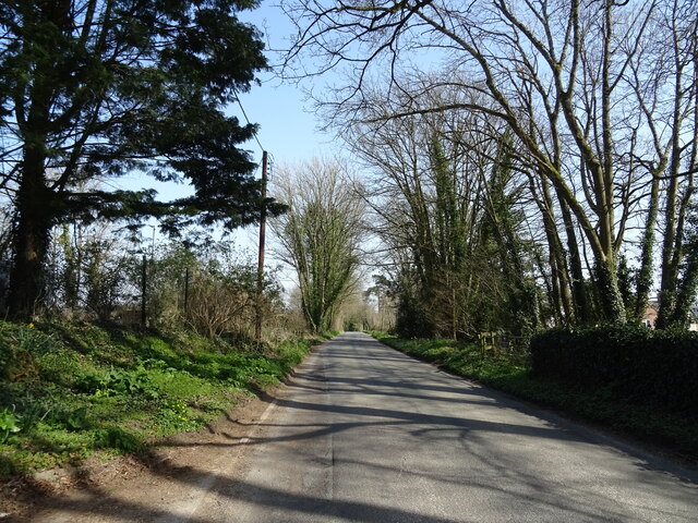
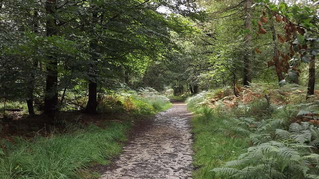
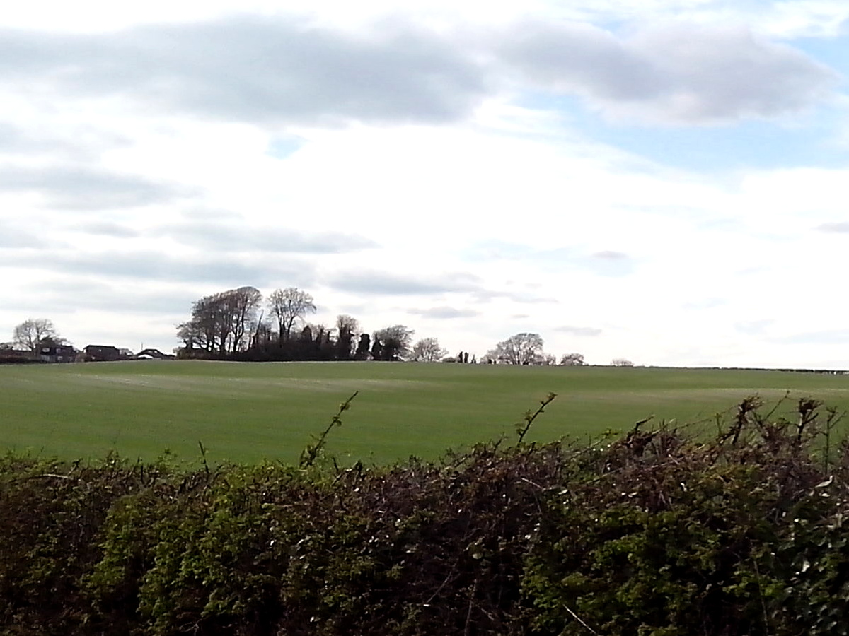
Black Heath is a scenic woodland area located in the county of Dorset, England. Covering an expanse of approximately 200 acres, it is renowned for its natural beauty and diverse range of flora and fauna. The heath is characterized by its dense and ancient woodlands, consisting predominantly of oak, beech, and pine trees.
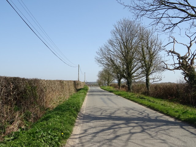
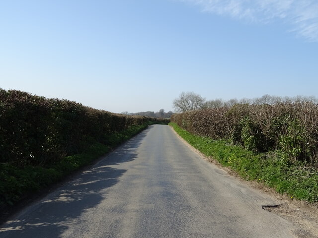
A prominent feature of Black Heath is its extensive network of walking trails, which allow visitors to explore the area's natural wonders. These trails wind through the woodlands, offering breathtaking views of the surrounding countryside and glimpses of wildlife such as deer, foxes, and various bird species. The heath is also home to a number of rare and protected plant species, including the Dorset heath, which adds to its ecological significance.
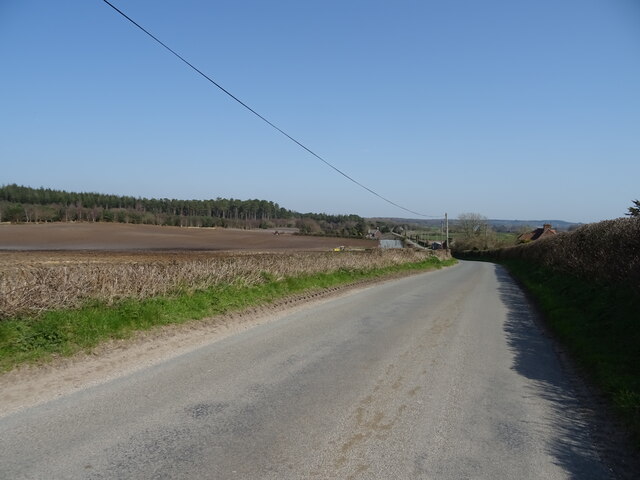
In addition to its natural appeal, Black Heath has a rich cultural heritage. It has been mentioned in historical records dating back several centuries and has played a role in the local economy as a source of timber and game. Today, the heath continues to be managed sustainably, with efforts to preserve its natural beauty and protect its biodiversity.
Visitors to Black Heath can enjoy a range of outdoor activities, such as hiking, picnicking, and wildlife spotting. The tranquil and serene environment provides an ideal escape from the hustle and bustle of modern life, making it a popular destination for nature enthusiasts and those seeking a peaceful retreat.
If you have any feedback on the listing, please let us know in the comments section below.
Black Heath Images
Images are sourced within 2km of 50.728593/-2.3849571 or Grid Reference SY7292. Thanks to Geograph Open Source API. All images are credited.


Black Heath is located at Grid Ref: SY7292 (Lat: 50.728593, Lng: -2.3849571)
Unitary Authority: Dorset
Police Authority: Dorset
What 3 Words
///dubbing.signs.segments. Near Dorchester, Dorset
Nearby Locations
Related Wikis

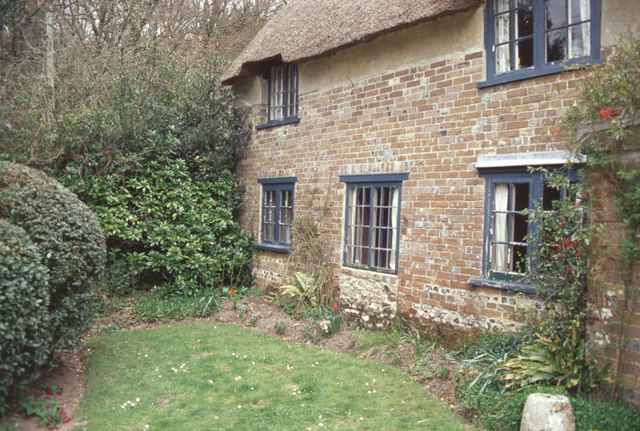
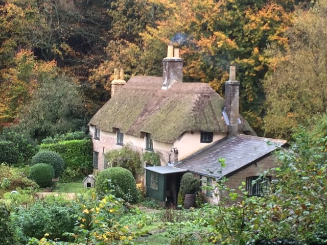
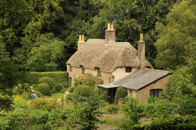
Thomas Hardy's Cottage
Thomas Hardy's Cottage, in Higher Bockhampton, Dorset, is a small cob and thatch building that is the birthplace of the English author Thomas Hardy. He...
Kingston Maurward College
Kingston Maurward College is a college for land-based studies situated two miles east of Dorchester, Dorset, England. The college is a member of the Landex...
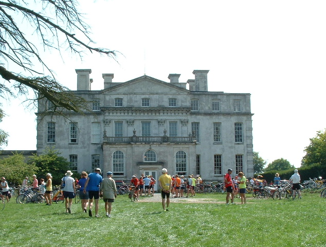
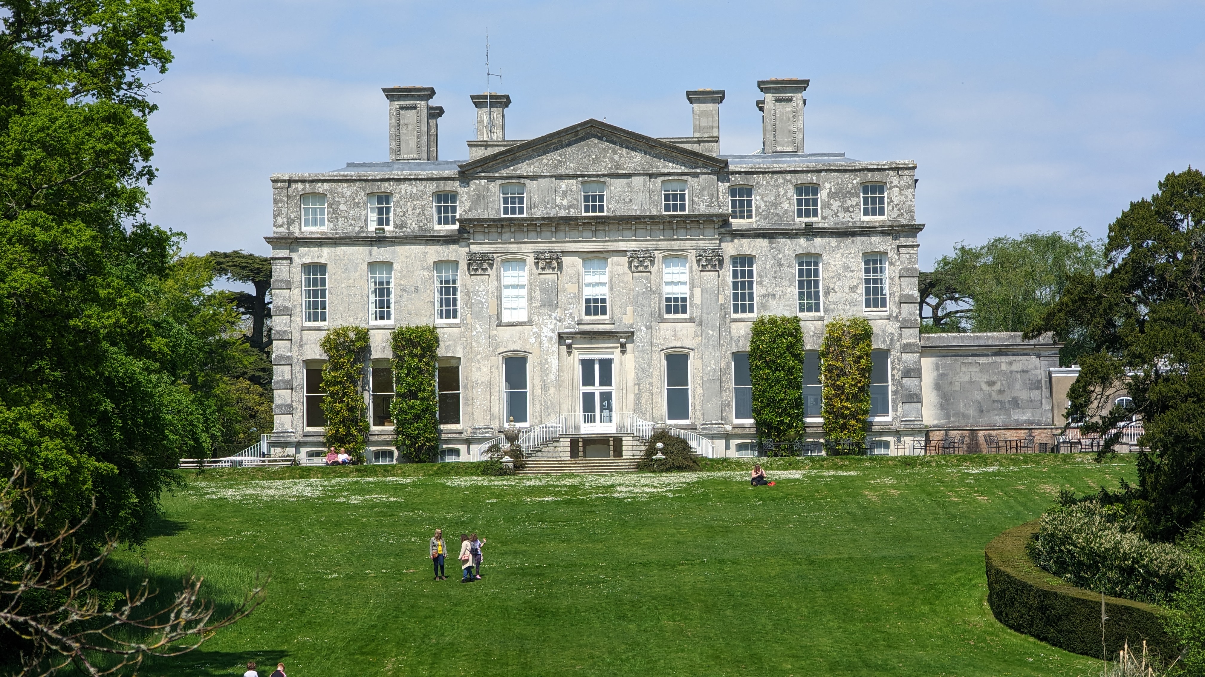
Kingston Maurward House
Kingston Maurward House is a large Grade I listed Georgian English country house set in a 750-acre (3 square km) estate in Dorset situated in the Frome...

Stinsford
Stinsford is a village and civil parish in southwest Dorset, England, about 1 mile (1.6 km) east of Dorchester. The parish includes the settlements of...

Frome Billet
Frome Billet is a former village in Dorset, just to the north of West Stafford.It is mentioned in the Domesday Book. There is slight archaeological evidence...

West Stafford
West Stafford is a village and civil parish in southwest Dorset, England, situated in the Frome valley 2 miles (3.2 km) east of Dorchester. In the 2011...
Mount Pleasant henge
Mount Pleasant henge is a Neolithic henge enclosure in the English county of Dorset. It lies southeast of Dorchester in the civil parish of West Stafford...

Waterston Manor
Waterston Manor, Puddletown, Dorset is a manor house with 17th century origins, that was extensively rebuilt after a fire in 1863 and remodelled in 1911...
Related Videos
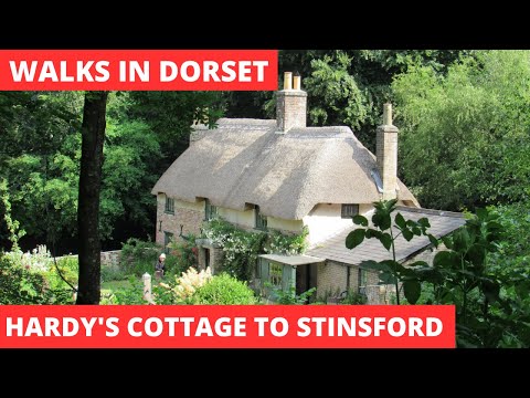
WALKS IN DORSET at HIGHER BOCKHAMTON, STINSFORD & KINGSTON MAURWARD (& THOMAS HARDY'S COTTAGE)
In this episode of my series “ Walks in Dorset”, I take a 6 mile circular walk that is effectively a “cradle to grave” homage to the ...

Thomas Hardy's Cottage Dorset ~ June Holiday 2019 Day #5
caravanningUKcommunity #placetovisitindorset #holidaysindorset #thomashardyscottage #dorset After a dull start to the day it ...

Kingston Maurward Dorset ~ Sept Holiday 2019 Vlog #2 Day #4
kingstonmaurward #dorset #placestovisitindorset #caravanningUKcommunity #holidaysindorset #holiday Today we visit Kingston ...

Who was scratching the tree? Puddletown forest activity we have never had before.
Puddletown forest has always been an active place when it comes to the paranormal, not only for investigators but members of the ...
Nearby Amenities
Located within 500m of 50.728593,-2.3849571Have you been to Black Heath?
Leave your review of Black Heath below (or comments, questions and feedback).