Hollin Wood
Wood, Forest in Lancashire
England
Hollin Wood
Hollin Wood is a small village located in the county of Lancashire, England. Situated within the borough of Rossendale, it is surrounded by picturesque landscapes and is predominantly known for its lush woodlands and forests. The name "Hollin" is derived from the Old English word for holly, indicating the presence of this evergreen tree species in the area.
The village is characterized by its quaint, rural charm and peaceful atmosphere. It has a small population of around 500 residents, creating a close-knit community. The village is primarily residential, with a scattering of traditional stone cottages and newer housing developments.
Hollin Wood is blessed with an abundance of natural beauty, with dense woodlands enveloping the village. These forests are a haven for flora and fauna, providing a rich habitat for a variety of wildlife. The woodlands also offer excellent opportunities for outdoor activities such as hiking, bird-watching, and nature walks.
In addition to its natural attractions, Hollin Wood benefits from its proximity to other notable landmarks. The village is located near the historic market town of Rawtenstall, where visitors can explore a range of shops, cafes, and cultural sites. The iconic Rossendale Valley is also easily accessible, offering stunning views, scenic trails, and opportunities for various outdoor pursuits.
Overall, Hollin Wood is a charming village nestled within the enchanting woodlands of Lancashire. Its peaceful ambiance, natural beauty, and proximity to other attractions make it a desirable destination for nature enthusiasts and those seeking a tranquil retreat.
If you have any feedback on the listing, please let us know in the comments section below.
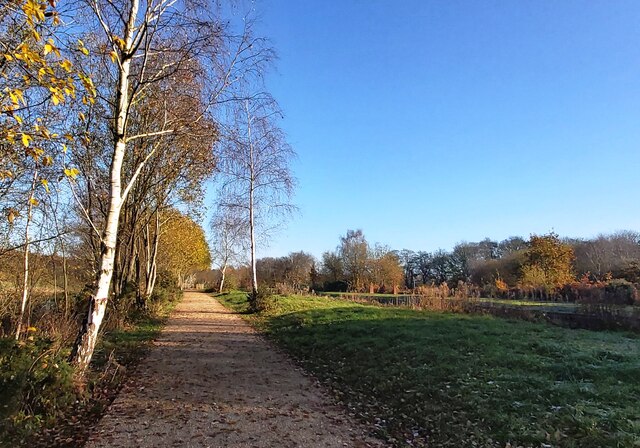
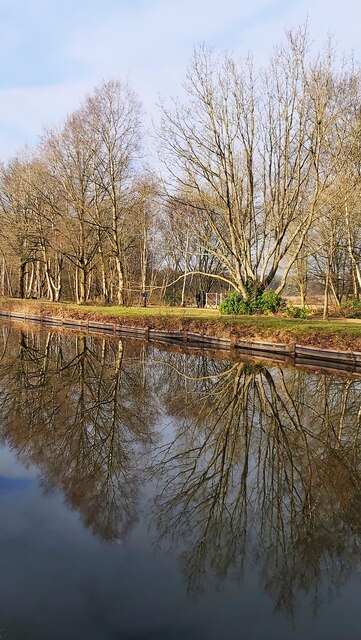
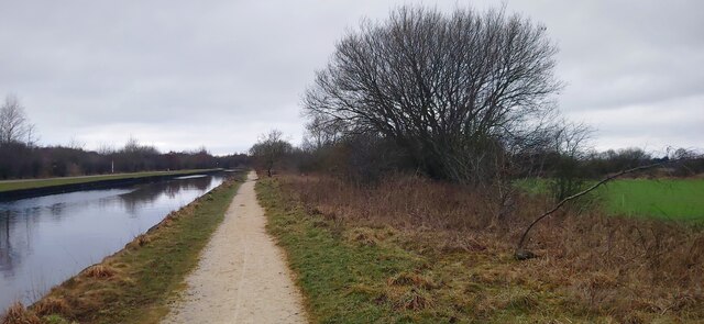
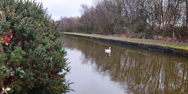
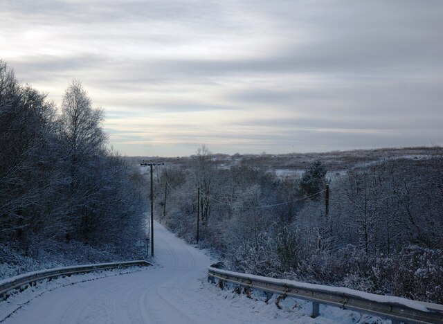
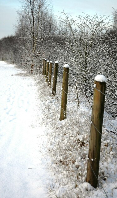
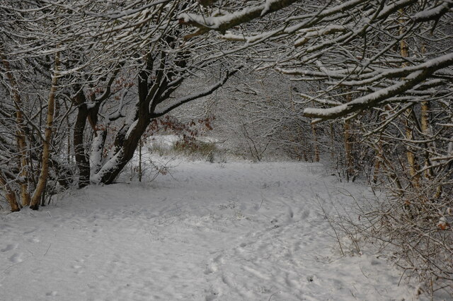
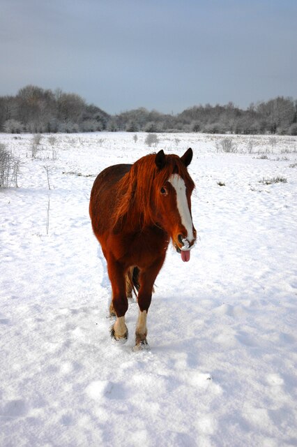
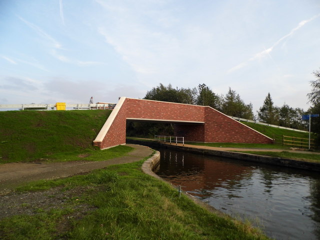
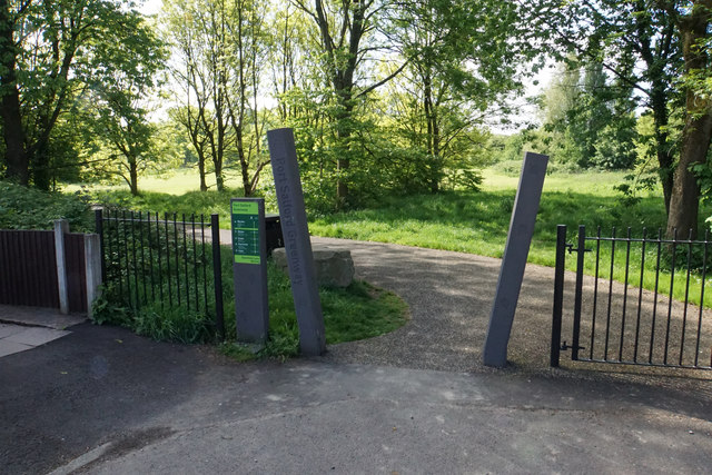
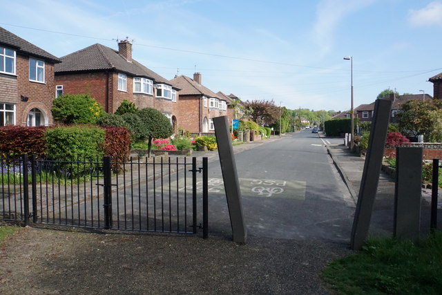
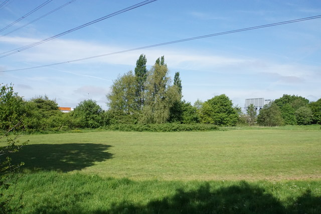
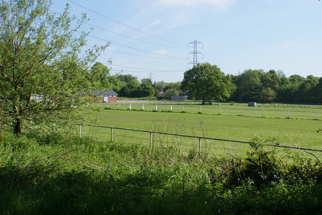
Hollin Wood Images
Images are sourced within 2km of 53.495082/-2.4097321 or Grid Reference SJ7299. Thanks to Geograph Open Source API. All images are credited.

Hollin Wood is located at Grid Ref: SJ7299 (Lat: 53.495082, Lng: -2.4097321)
Unitary Authority: Salford
Police Authority: Greater Manchester
What 3 Words
///lecturers.fabricate.trapdoor. Near Walkden, Manchester
Nearby Locations
Related Wikis

RHS Garden Bridgewater
RHS Garden Bridgewater is the Royal Horticultural Society's fifth public display garden. It is located in the village of Worsley in Salford, Greater Manchester...
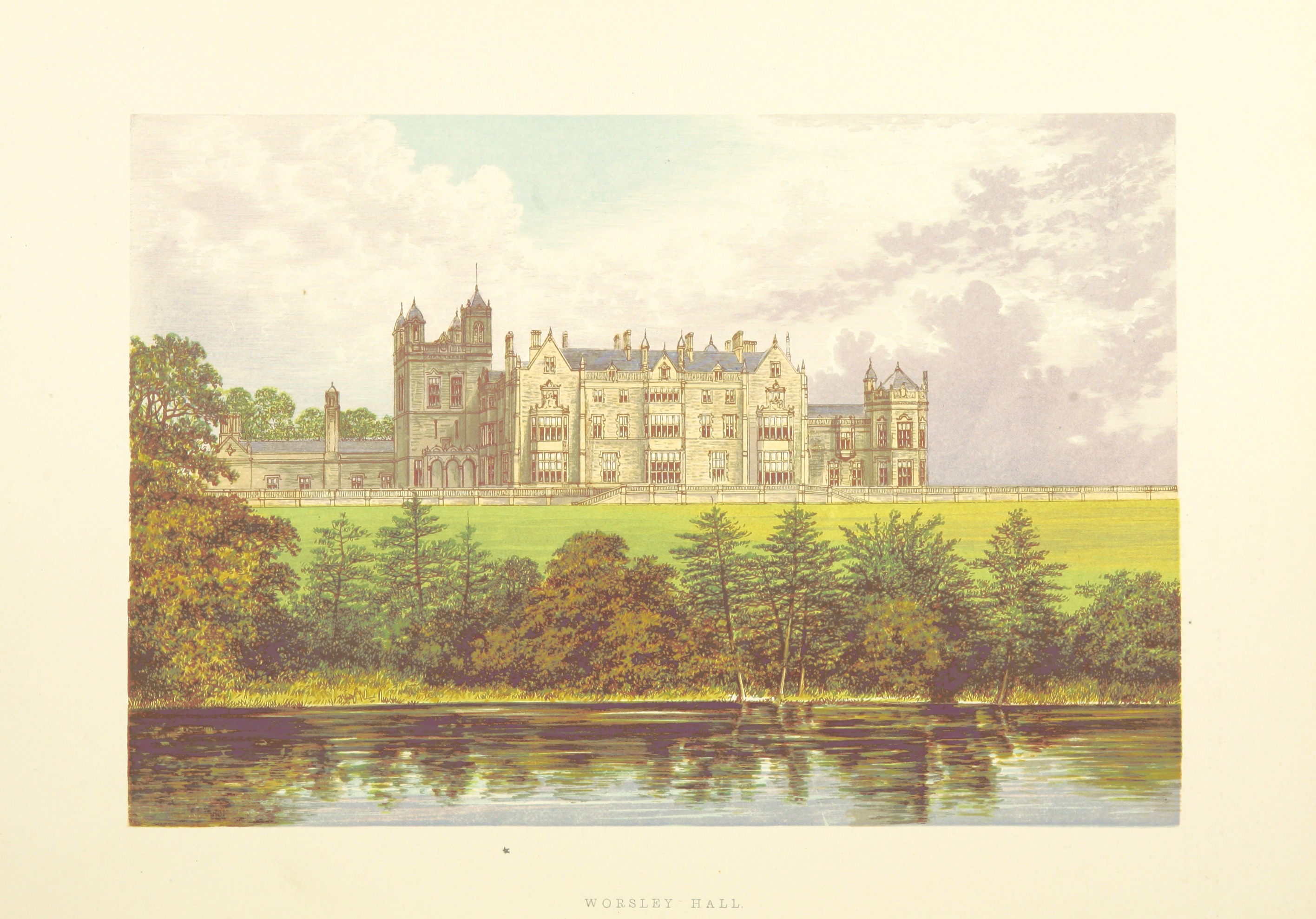
Worsley New Hall
Worsley New Hall is a former mansion and gardens by the Bridgewater Canal in Worsley, Greater Manchester, England, 8 miles (13 km) west of Manchester....

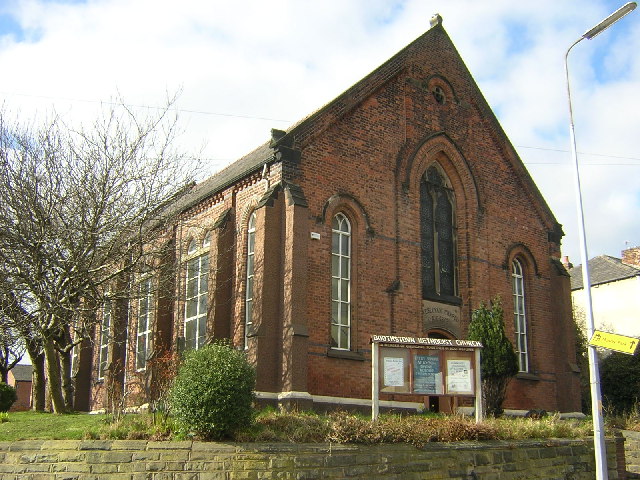
Boothstown Mines Rescue Station
Boothstown Mines Rescue Station which served the collieries of the Lancashire and Cheshire Coal Owners on the Lancashire Coalfield opened in November 1933...
Boothstown
Boothstown is a suburban village in the City of Salford in Greater Manchester, England. Boothstown forms part of the Boothstown and Ellenbrook ward, which...
Have you been to Hollin Wood?
Leave your review of Hollin Wood below (or comments, questions and feedback).