Throstle Nest Wood

Wood, Forest in Yorkshire Craven

England

Throstle Nest Wood

Keasden Church
Keasden Church Credit: JThomas

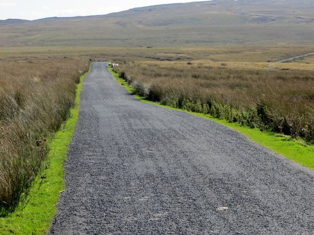
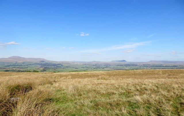
Throstle Nest Wood is an enchanting forest located in Yorkshire, England. Covering a vast area of approximately 200 acres, this wood is a haven for nature lovers and provides a peaceful retreat away from the hustle and bustle of city life.

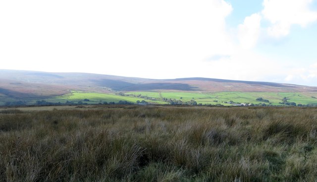
The wood is composed of a variety of tree species, including oak, beech, and birch, which create a diverse and vibrant ecosystem. The dense canopy of the trees provides shelter for numerous bird species, such as thrushes and nightingales, lending the wood its name, Throstle Nest.

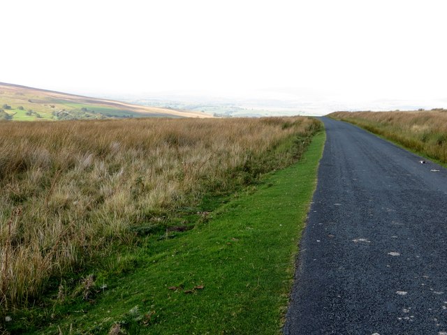
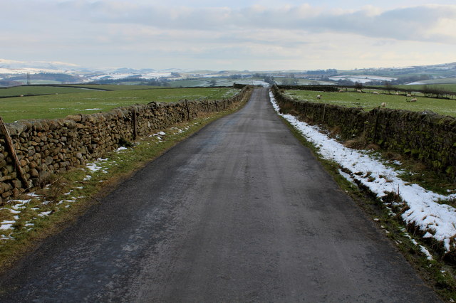
Traversing through the wood, visitors will find a network of well-maintained footpaths that wind their way through the towering trees and reveal breathtaking views at every turn. These paths are perfect for leisurely walks or invigorating hikes, allowing visitors to immerse themselves in the natural beauty of the surroundings.

Throstle Nest Wood is also home to a plethora of wildlife. Squirrels dart through the branches, while rabbits and foxes can be spotted foraging on the forest floor. The wood is also known for its rich insect life, making it a popular spot for butterfly enthusiasts.

For those seeking a tranquil picnic spot, the wood offers several designated areas with picnic tables and benches. These picturesque spots provide the perfect setting to enjoy a packed lunch while surrounded by the sights and sounds of nature.

Overall, Throstle Nest Wood is a captivating destination for nature enthusiasts and offers an idyllic escape for anyone seeking solace in the beauty of Yorkshire's woodlands.

If you have any feedback on the listing, please let us know in the comments section below.

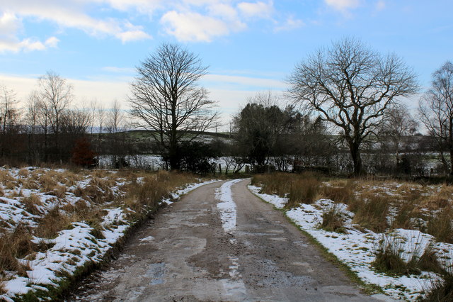
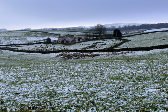
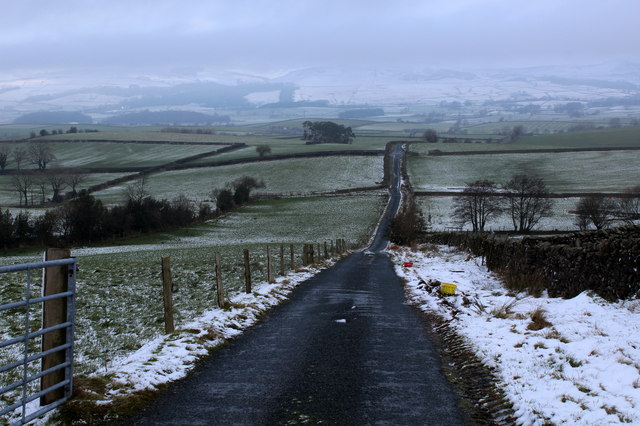
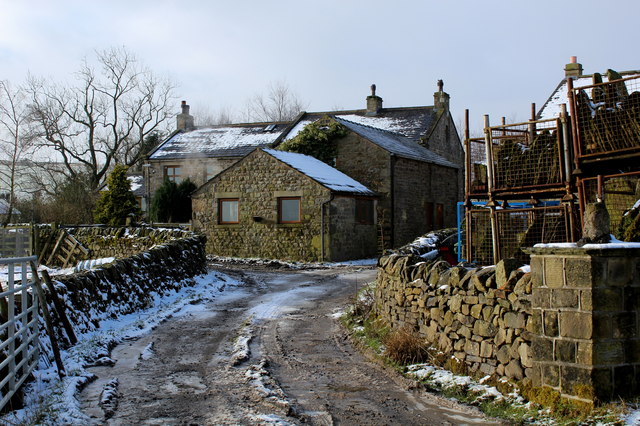
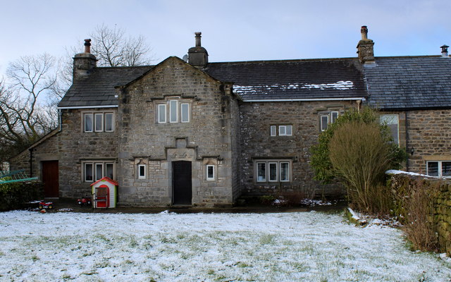
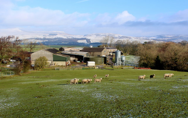
Throstle Nest Wood Images

Images are sourced within 2km of 54.081424/-2.4155197 or Grid Reference SD7265. Thanks to Geograph Open Source API. All images are credited.

Keasden Church
Keasden Church
Reebys Lane heading east
Minor road towards Clapham
St.Matthew's Church Keasden
Moorland off Keasden Road North of Bowland Knotts.
Moorland off Keasden Road
North of Bowland Knotts.
Keasden Road north of Clapham Common Lonely moorland road trodden mostly by sheep.
Keasden Road north of Clapham Common
Lonely moorland road trodden mostly by sheep.
Crossroads near Keasden The choice of destinations is Slaidburn, Settle, Bentham or Clapham.
Crossroads near Keasden
The choice of destinations is Slaidburn, Settle, Bentham or Clapham.
St. Matthew's Church, Keasden Church of England parish church.
St. Matthew's Church, Keasden
Church of England parish church.
Keasden Road near Bowland Knotts Lonely moorland road frequented mostly by sheep.
Keasden Road near Bowland Knotts
Lonely moorland road frequented mostly by sheep.
Moorland near Keasden In the distance, the hills are, on the left, Ingleborough and middle right, Penyghent.
Moorland near Keasden
In the distance, the hills are, on the left, Ingleborough and middle right, Penyghent.
St Matthew's Church, Keasden
Lawsings Brow Section of the country road between Clapham Station and Eldroth - on the northern side of Bowland
Lawsings Brow
Section of the country road between Clapham Station and Eldroth - on the northern side of Bowland
Access to Lawsings Access track leaving Lawsings Brow
Access to Lawsings
Access track leaving Lawsings Brow
Low Kettlesbeck A wintery scene as witnessed from Cragg Lane
Low Kettlesbeck
A wintery scene as witnessed from Cragg Lane
Cragg Lane
Cragg Lane
High Birks Farm Isolated Farm on the northern edge of Bowland
High Birks Farm
Isolated Farm on the northern edge of Bowland
Middle Birks Farm Fine farmhouse building founded in 1697 - according to a lintel stone above the front door.
Middle Birks Farm
Fine farmhouse building founded in 1697 - according to a lintel stone above the front door.
Low Birks Farm Approaching the farming complex from Middle Birks Farm on a footpath that is not visible on the ground - but indicated on the map and with signs.
Low Birks Farm
Approaching the farming complex from Middle Birks Farm on a footpath that is not visible on the ground - but indicated on the map and with signs.
Show me another place!

Throstle Nest Wood is located at Grid Ref: SD7265 (Lat: 54.081424, Lng: -2.4155197)

Division: West Riding

Administrative County: North Yorkshire

District: Craven

Police Authority: North Yorkshire

What 3 Words

///equivocal.playroom.stage. Near High Bentham, North Yorkshire

Related Wikis

Keasden

Keasden is a hamlet in the civil parish of Clapham-cum-Newby, in the Craven district of the county of North Yorkshire, in the north-western England. It...

Clapham railway station

Clapham is a railway station on the Bentham Line, which runs between Leeds and Morecambe via Skipton. The station, situated 48 miles (77 km) north-west...

Keasden Beck

Keasden Beck is a stream in Yorkshire (formerly the West Riding) rising near Keasden Head, joining the River Wenning south west of Clapham. == References... ==

Eldroth

Eldroth is a village in North Yorkshire, England. It is in the civil parish of Lawkland, part of the former Craven District, some 3.25 miles (5.23 km)...

Clapham cum Newby

Clapham cum Newby is a civil parish in the Craven district of North Yorkshire, England. It was formerly in the Settle Rural District. It contains the villages...

Clapham, North Yorkshire

Clapham is a village in the civil parish of Clapham cum Newby in the Craven district of North Yorkshire, England. It was previously in the West Riding...

Lawkland

Lawkland is a civil parish in North Yorkshire, England, near the A65 and 4 miles (6.4 km) west of Settle. It lies within the Forest of Bowland Area of...

Austwick

Austwick is a village and civil parish in the Craven district of North Yorkshire, England, about 5 miles (8 km) north-west of Settle. The village is on...

Nearby Amenities

Located within 500m of 54.081424,-2.4155197
Barrier: cattle_grid
Lat/Long: 54.0842303/-2.414829
Barrier: cattle_grid
Lat/Long: 54.0828794/-2.4104048
Power: pole
Lat/Long: 54.0813093/-2.4082566
Power: pole
Lat/Long: 54.0817188/-2.4094269
Power: pole
Lat/Long: 54.0821609/-2.4107327
Power: pole
Lat/Long: 54.0825622/-2.4119204
Power: pole
Lat/Long: 54.0829502/-2.4131666
Power: pole
Lat/Long: 54.0833738/-2.4143723
Power: pole
Lat/Long: 54.0837878/-2.415582
Power: pole
Source: Bing
Lat/Long: 54.0841803/-2.4166634
Power: pole
Lat/Long: 54.0845049/-2.4176116
Power: pole
Source: Bing
Lat/Long: 54.0847842/-2.4184166
Power: pole
Source: Bing
Lat/Long: 54.0847908/-2.4159852
Power: pole
Source: Bing
Lat/Long: 54.0854345/-2.4153159
Power: pole
Source: Bing
Lat/Long: 54.084132/-2.4185869
Power: pole
Source: Bing
Lat/Long: 54.0834731/-2.4187425
Power: pole
Source: Bing
Lat/Long: 54.0827823/-2.4189267
Power: pole
Source: Bing
Lat/Long: 54.0822132/-2.4191757
Power: pole
Source: Bing
Lat/Long: 54.0815513/-2.419487
Power: pole
Source: Bing
Lat/Long: 54.0809715/-2.4197567
Power: pole
Source: Bing
Lat/Long: 54.080267/-2.4200628
Power: pole
Source: Bing
Lat/Long: 54.079605/-2.4203741
Power: pole
Source: Bing
Lat/Long: 54.0790663/-2.4205894
Power: pole
Source: Bing
Lat/Long: 54.0785702/-2.4208202
The data included in this document is from www.openstreetmap.org. The data is made available under ODbL.

Have you been to Throstle Nest Wood?

Leave your review of Throstle Nest Wood below (or comments, questions and feedback).