Copland Wood
Wood, Forest in Gloucestershire Forest of Dean
England
Copland Wood

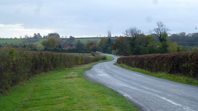
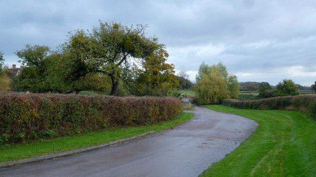
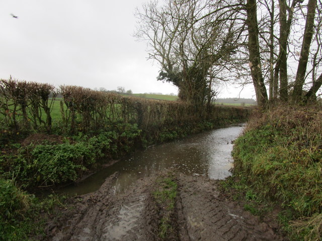
Copland Wood is a picturesque forest located in the county of Gloucestershire, England. Spanning an area of approximately 120 hectares, the wood is situated near the village of Copland, surrounded by rolling countryside and scenic landscapes.
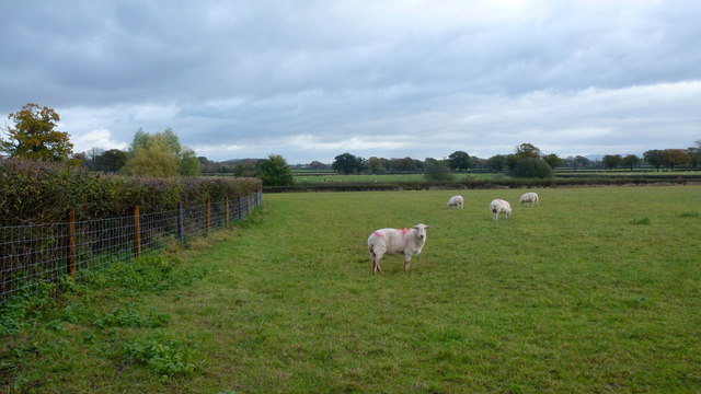
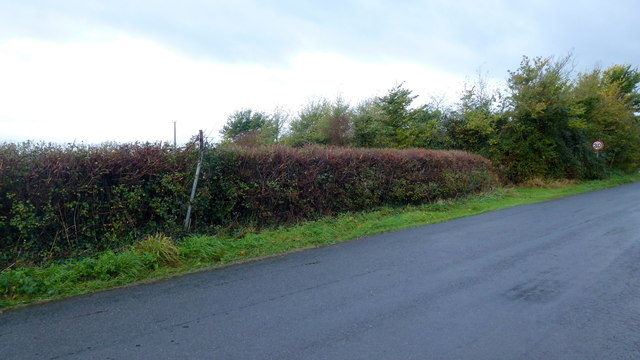
The wood is predominantly composed of broadleaf trees, including oak, beech, and ash, creating a diverse and vibrant ecosystem. The lush vegetation provides a habitat for a wide range of wildlife, including deer, foxes, and various species of birds. The forest floor is adorned with a rich carpet of wildflowers during the spring and summer months.
Copland Wood offers a variety of recreational activities for nature enthusiasts and outdoor lovers. There are well-maintained walking paths that wind through the wood, allowing visitors to explore its natural beauty at their own pace. The tranquil atmosphere and peaceful surroundings make it an ideal destination for those seeking solace in nature.
The wood is also a popular spot for birdwatching, with its diverse avian population attracting bird enthusiasts from near and far. Visitors may catch a glimpse of species such as woodpeckers, buzzards, and owls, among others.
Managed by the local forestry commission, Copland Wood is well-preserved and accessible to the public. It offers ample parking facilities and picnic areas, making it a great destination for families and groups. Visitors are encouraged to follow the designated trails and respect the natural environment, ensuring the continued preservation of this beautiful woodland.
If you have any feedback on the listing, please let us know in the comments section below.
Copland Wood Images
Images are sourced within 2km of 51.849987/-2.3944267 or Grid Reference SO7216. Thanks to Geograph Open Source API. All images are credited.


Copland Wood is located at Grid Ref: SO7216 (Lat: 51.849987, Lng: -2.3944267)
Administrative County: Gloucestershire
District: Forest of Dean
Police Authority: Gloucestershire
What 3 Words
///tangent.trailers.highlighted. Near Huntley, Gloucestershire
Nearby Locations
Related Wikis

Grange Court railway station
Grange Court railway station was a junction station on the South Wales Railway in Gloucestershire (on the present day Gloucester to Newport Line) where...

Huntley, Gloucestershire
Huntley, Gloucestershire, is a village on the A40 located seven miles (11 km) west of Gloucester. It is in the north of the Forest of Dean. == History... ==
Oakle Street
Oakle Street is a village in Gloucestershire, England. == External links == Media related to Oakle Street at Wikimedia Commons Churcham Village Website...

Walmore Common
Walmore Common (grid reference SO740162 & grid reference SO745150) is a 57.78-hectare (142.8-acre) nature reserve on the flood-plain of the River Severn...

Blaisdon
Blaisdon is a village and civil parish in the Forest of Dean of Gloucestershire, England, about ten miles west of Gloucester. Its population in 2005 was...

Blaisdon Halt railway station
Blaisdon railway station is a disused stone built railway station that served the village of Blaisdon in Gloucestershire and was the first stop on the...

Oakle Street railway station
Oakle Street railway station served the village of Oakle Street, Gloucestershire, England from 1851 to 1964 on the Gloucester-Newport line. == History... ==

The Mount, Nottswood Hill
The Mount, Nottswood Hill, is a grade II listed house near Blaisdon in Gloucestershire. The house is thought to have been rebuilt in the later nineteenth...
Nearby Amenities
Located within 500m of 51.849987,-2.3944267Have you been to Copland Wood?
Leave your review of Copland Wood below (or comments, questions and feedback).