High Stittenham
Settlement in Yorkshire Ryedale
England
High Stittenham
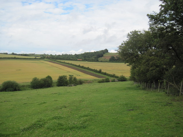
High Stittenham is a small village located in the county of Yorkshire, England. Situated approximately 8 miles north-west of the historic city of York, the village is nestled in the picturesque Howardian Hills Area of Outstanding Natural Beauty. With a population of around 200 residents, High Stittenham offers a tranquil and close-knit community atmosphere.
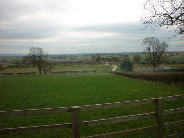
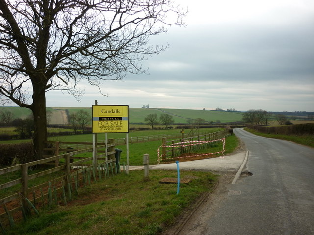
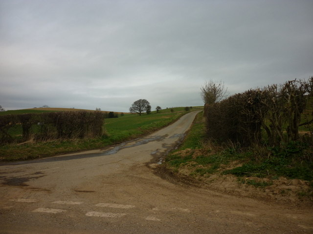
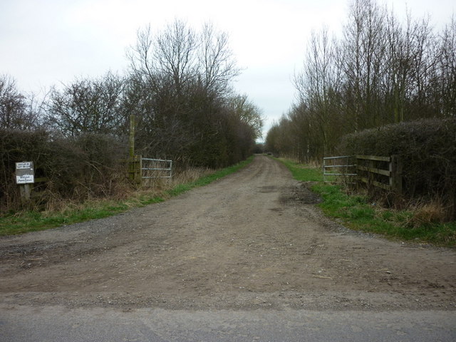
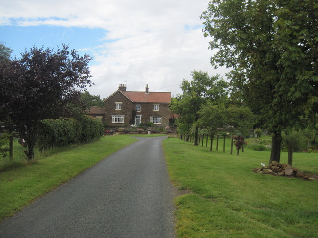
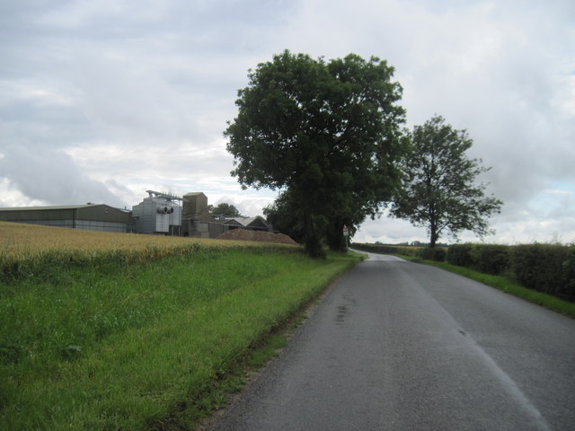
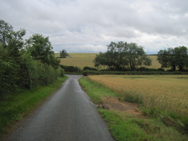
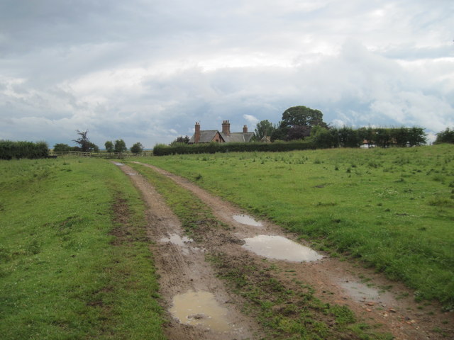
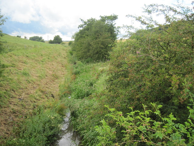
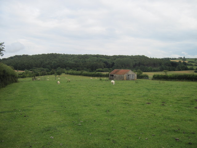
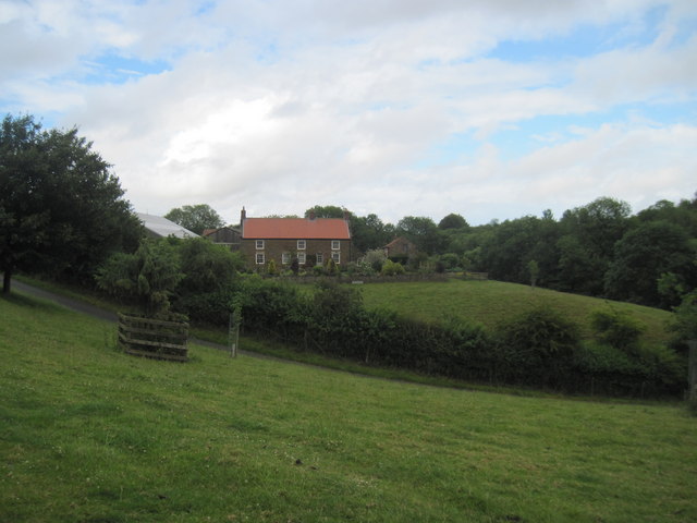
The village is known for its charming and well-preserved architecture, with many of its buildings dating back to the 17th and 18th centuries. The local church, St. Mary's, is a notable landmark, showcasing a mix of Norman and Gothic styles. The surrounding countryside provides stunning views, with rolling hills, lush green meadows, and quaint country lanes, making it a popular destination for nature lovers and walkers.
Despite its small size, High Stittenham benefits from a range of amenities. The village boasts a village hall, which serves as a hub for community events and gatherings. Additionally, a local pub, The Stittenham Arms, offers a warm and inviting atmosphere for residents and visitors alike.
High Stittenham's location provides easy access to nearby attractions. The vibrant city of York, renowned for its rich history and stunning architecture, is a short drive away, providing residents with a plethora of shopping, dining, and cultural experiences. The village is also well-connected by road, with the A64 providing easy access to the wider region.
In summary, High Stittenham is a delightful village that combines natural beauty, historical charm, and a strong sense of community. Its idyllic location and proximity to larger towns and cities make it an attractive place to live or visit for those seeking a tranquil yet well-connected rural retreat.
If you have any feedback on the listing, please let us know in the comments section below.
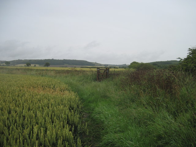
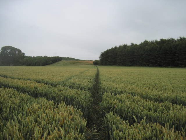
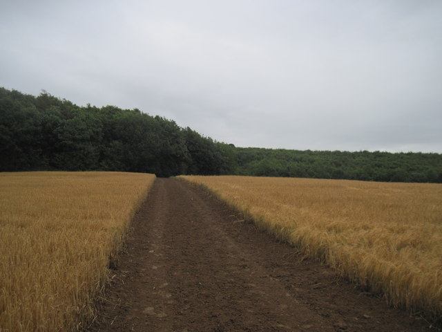
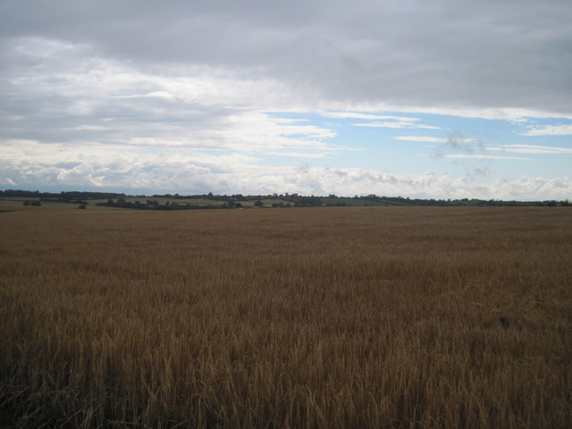
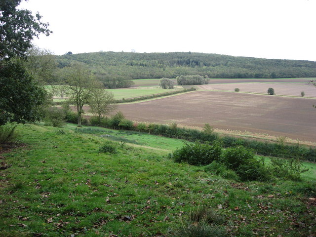
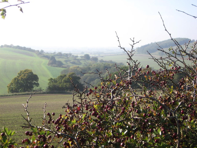
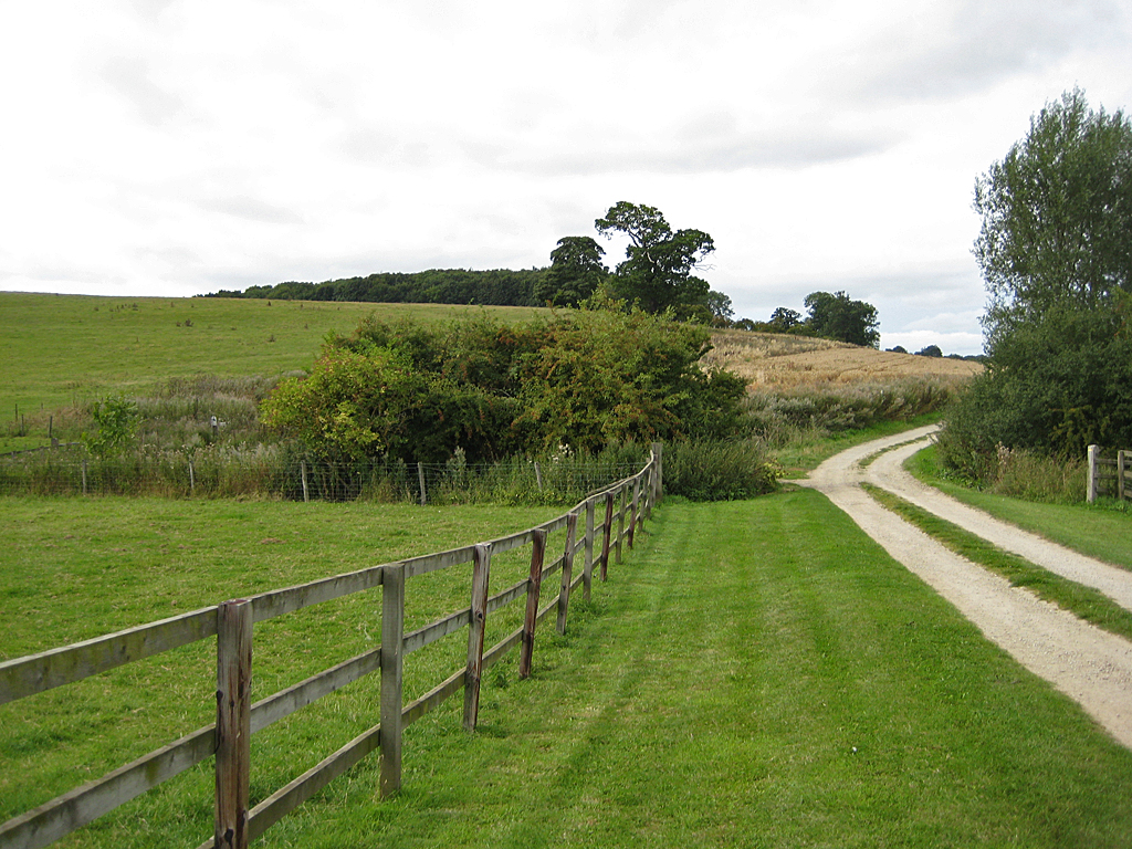
High Stittenham Images
Images are sourced within 2km of 54.09982/-0.96279664 or Grid Reference SE6767. Thanks to Geograph Open Source API. All images are credited.
High Stittenham is located at Grid Ref: SE6767 (Lat: 54.09982, Lng: -0.96279664)
Division: North Riding
Administrative County: North Yorkshire
District: Ryedale
Police Authority: North Yorkshire
What 3 Words
///pave.teardrop.presenter. Near Sheriff Hutton, North Yorkshire
Nearby Locations
Related Wikis

Bulmer, North Yorkshire
Bulmer is a village and civil parish in North Yorkshire, England. According to the 2001 census it had a population of 174, increasing to 202 at the census...

Thornton-le-Clay
Thornton-le-Clay is a village and civil parish in the Ryedale district of North Yorkshire, England. It is about 8 miles (13 km) north-east of York. �...

Sheriff Hutton
Sheriff Hutton is a village and civil parish in North Yorkshire, England. It lies about 10 miles (16 km) north by north-east of York. == History == The...

Sheriff Hutton Castle
not to be confused with Hutton Castle in the Scottish Borders Sheriff Hutton Castle is a ruined quadrangular castle in the village of Sheriff Hutton,...

Foston, North Yorkshire
Foston is a small village and civil parish in North Yorkshire, England. The population of the civil parish as of the 2011 census was 263. Details are included...

Terrington
Terrington is a large village and civil parish in the Ryedale district of North Yorkshire, England. It is situated in the Howardian Hills, 4 miles (6.4...
Henderskelfe
Henderskelfe is a civil parish in North Yorkshire, England. The parish does not contain any villages, though it is named after a previous settlement and...

Welburn-on-Derwent
Welburn is a village and civil parish in North Yorkshire, England, on the north bank of the River Derwent. It lies on the edge of the Howardian Hills...
Nearby Amenities
Located within 500m of 54.09982,-0.96279664Have you been to High Stittenham?
Leave your review of High Stittenham below (or comments, questions and feedback).