Stittenham Wood

Wood, Forest in Yorkshire Ryedale

England

Stittenham Wood

West Mill House Farm, from Stittenham Hill Road
West Mill House Farm, from Stittenham Hill Road Credit: Ian S

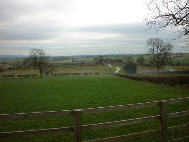
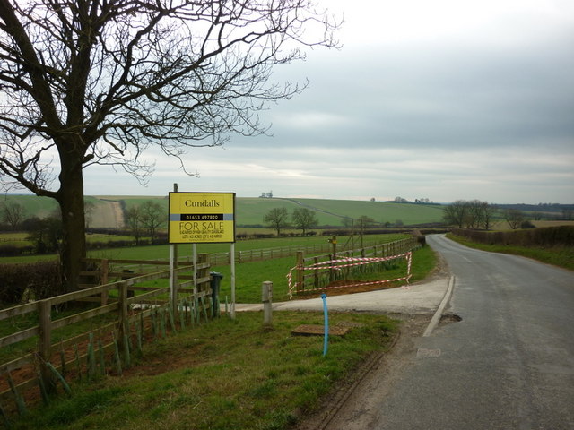
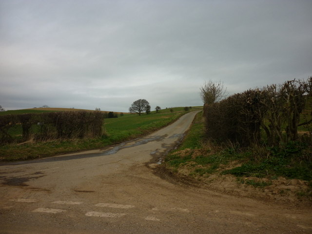
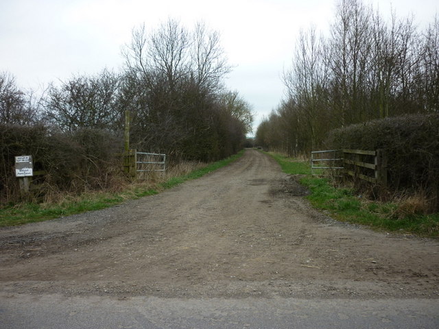
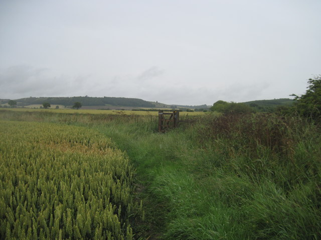
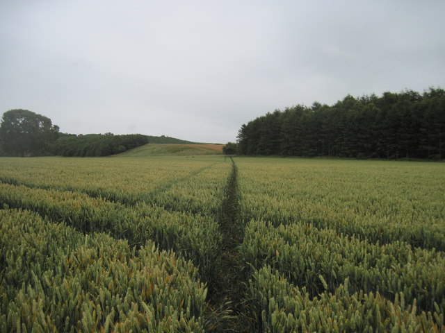
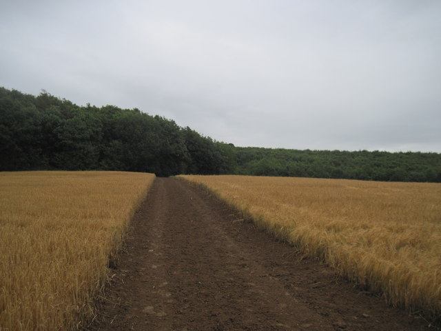
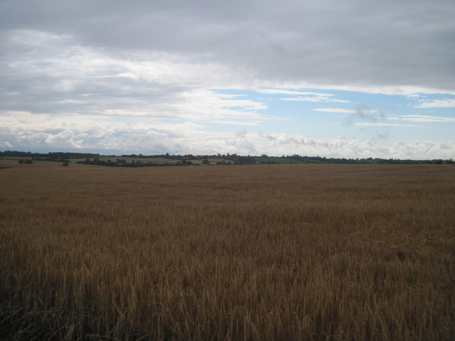
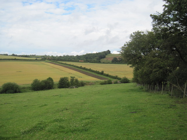
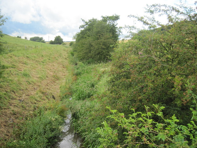
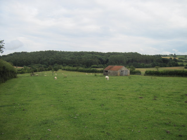
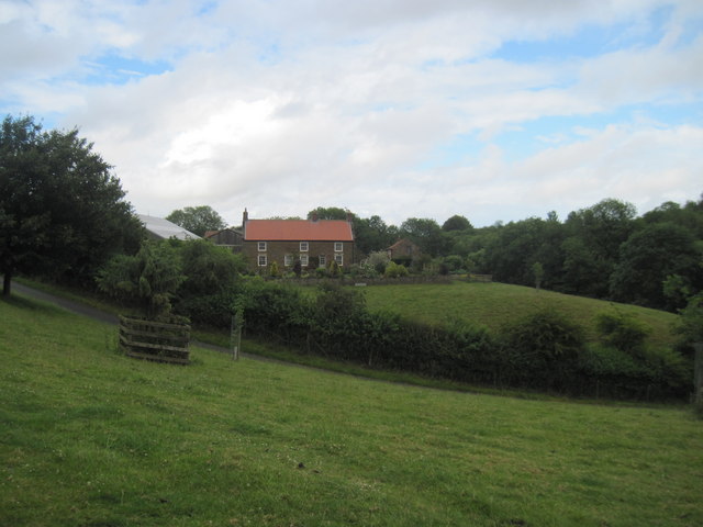
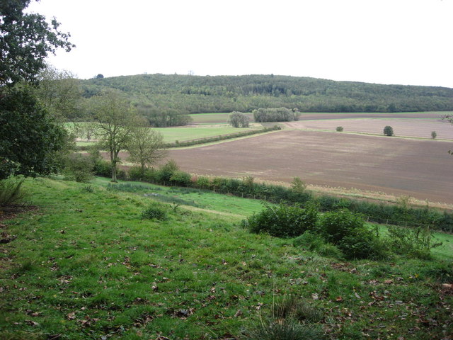
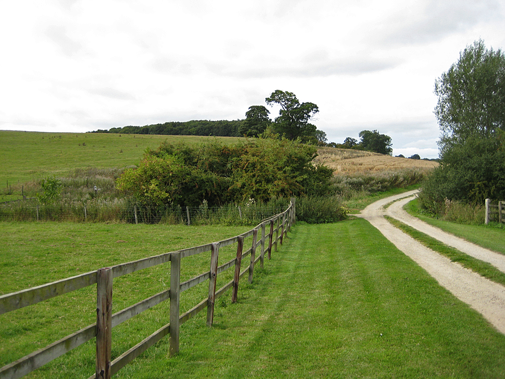
Stittenham Wood is a picturesque woodland located in Yorkshire, England. Spread across a vast area, it is known for its serene beauty and diverse flora and fauna. This ancient woodland is believed to have existed for hundreds of years, and its history and natural charm make it a popular destination for nature enthusiasts.

The wood is home to a wide range of trees, including oak, beech, and ash, which create a dense canopy that filters the sunlight, casting a dappled glow on the forest floor. The woodland is particularly enchanting in the spring when bluebells carpet the ground, creating a stunning display of vibrant colors.

Stittenham Wood is also a haven for wildlife. Numerous bird species can be spotted here, including woodpeckers, owls, and various songbirds. Squirrels scuttle through the trees, while rabbits and hares can occasionally be seen darting among the undergrowth. The wood is also home to several species of deer, adding to its natural beauty and charm.

Visitors to Stittenham Wood can enjoy leisurely walks along well-maintained footpaths that wind through the woodland. These paths offer stunning views of the surrounding countryside and provide a peaceful retreat away from the hustle and bustle of daily life.

The wood is maintained by local conservation organizations, which work tirelessly to preserve its natural habitat and protect the diverse wildlife that calls it home. As a result, Stittenham Wood remains a treasured natural gem in Yorkshire, attracting visitors from far and wide who seek solace in its tranquil surroundings.

If you have any feedback on the listing, please let us know in the comments section below.

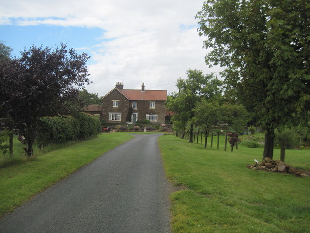
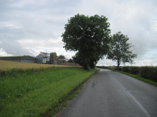
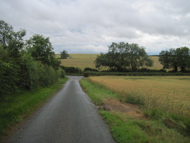
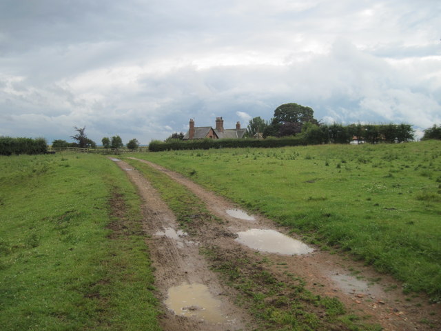
Stittenham Wood Images

Images are sourced within 2km of 54.1018/-0.96620354 or Grid Reference SE6767. Thanks to Geograph Open Source API. All images are credited.

West Mill House Farm, from Stittenham Hill Road
The entrance to West Mill House
Ashbank Lane to High Stittenham
A footpath towards Stittenham Wood
Carr  Lane  looking  South Carr Lane is only a field track north of the Bulmer road.
Carr Lane looking South
Carr Lane is only a field track north of the Bulmer road.
Footpath  Junction Two long distance paths part at this point. The Ebor Way follows the field round to the left and the Centenary Way goes through the gate on the right.
Footpath Junction
Two long distance paths part at this point. The Ebor Way follows the field round to the left and the Centenary Way goes through the gate on the right.
Footpath  through  Wheat  Field On the Centenary Way
Footpath through Wheat Field
On the Centenary Way
Gallops  through  Barley Stittenham Wood in the background.Centenary Way.
Gallops through Barley
Stittenham Wood in the background.Centenary Way.
A  Large  Field  of  Barley The field area is known as The Sykes, in the distance is Sheriff Hutton.
A Large Field of Barley
The field area is known as The Sykes, in the distance is Sheriff Hutton.
Ashbank  Lane  into  High  Stittenham High Stittenham is three or four farms at the end of this lane, no way through unless on foot.The Centenary Way crosses over in front of Hall Farm.
Ashbank Lane into High Stittenham
High Stittenham is three or four farms at the end of this lane, no way through unless on foot.The Centenary Way crosses over in front of Hall Farm.
Wheatclose  Farm On the Bulmer to Sheriff Hutton road.
Wheatclose Farm
On the Bulmer to Sheriff Hutton road.
Ashbank  Lane Coming down from High Stittenham.
Ashbank Lane
Coming down from High Stittenham.
Looking  back  to  High  Stittenham From High Stittenham it is across the fields on the Centenary Way toward Terrington, a backward glance and those storm clouds would once more give us a good soaking before we arrived at Terrington.
Looking back to High Stittenham
From High Stittenham it is across the fields on the Centenary Way toward Terrington, a backward glance and those storm clouds would once more give us a good soaking before we arrived at Terrington.
Footpath  through  the  Countryside The Centenary Way towards Mowthorpe Bridge and beyond, the bridge is in the dip.The field beyond has a ploughed headland, a conservation group are sowing wild flowers around this field and the next.A large herd of beef cattle with two bulls were in the field we were walking through.
Footpath through the Countryside
The Centenary Way towards Mowthorpe Bridge and beyond, the bridge is in the dip.The field beyond has a ploughed headland, a conservation group are sowing wild flowers around this field and the next.A large herd of beef cattle with two bulls were in the field we were walking through.
Beck  west  of  Mowthorpe  Bridge The Centenary Way crosses the bridge,it is only for farm traffic.
Beck west of Mowthorpe Bridge
The Centenary Way crosses the bridge,it is only for farm traffic.
Field  Barn  at  Low  Mowthorpe  Farm On the Centenary Way toward Terrington.
Field Barn at Low Mowthorpe Farm
On the Centenary Way toward Terrington.
Track  to  Fishing  Ponds Going down to the right with Low Mowthorpe Farm beyond, the Centenary Way goes to the left of the farm and then follows Mowthorpe Lane into Terrington.
Track to Fishing Ponds
Going down to the right with Low Mowthorpe Farm beyond, the Centenary Way goes to the left of the farm and then follows Mowthorpe Lane into Terrington.
Howardian Hills near Mowthorpe Looking across the flat fields towards Stitenham Woods from the entrance of Howthorpe Woods, where today there were lots of Blackberries still in eatible condition.
Howardian Hills near Mowthorpe
Looking across the flat fields towards Stitenham Woods from the entrance of Howthorpe Woods, where today there were lots of Blackberries still in eatible condition.
Show me another place!

Stittenham Wood is located at Grid Ref: SE6767 (Lat: 54.1018, Lng: -0.96620354)

Division: North Riding

Administrative County: North Yorkshire

District: Ryedale

Police Authority: North Yorkshire

What 3 Words

///prune.withdrew.mimes. Near Sheriff Hutton, North Yorkshire

Related Wikis

Bulmer, North Yorkshire

Bulmer is a village and civil parish in North Yorkshire, England. According to the 2001 census it had a population of 174, increasing to 202 at the census...

Thornton-le-Clay

Thornton-le-Clay is a village and civil parish in the Ryedale district of North Yorkshire, England. It is about 8 miles (13 km) north-east of York. �...

Sheriff Hutton

Sheriff Hutton is a village and civil parish in North Yorkshire, England. It lies about 10 miles (16 km) north by north-east of York. == History == The...

Terrington

Terrington is a large village and civil parish in the Ryedale district of North Yorkshire, England. It is situated in the Howardian Hills, 4 miles (6.4...

Sheriff Hutton Castle

not to be confused with Hutton Castle in the Scottish Borders Sheriff Hutton Castle is a ruined quadrangular castle in the village of Sheriff Hutton,...

Foston, North Yorkshire

Foston is a small village and civil parish in North Yorkshire, England. The population of the civil parish as of the 2011 census was 263. Details are included...

Henderskelfe

Henderskelfe is a civil parish in North Yorkshire, England. The parish does not contain any villages, though it is named after a previous settlement and...

Welburn-on-Derwent

Welburn is a village and civil parish in North Yorkshire, England, on the north bank of the River Derwent. It lies on the edge of the Howardian Hills...

Nearby Amenities

Located within 500m of 54.1018,-0.96620354
Stittenham
Place: hamlet
Source: GPS
Lat/Long: 54.1000986/-0.9627837
Ele: 43
Lat/Long: 54.0988103/-0.9701595
Ele: 46
Lat/Long: 54.1002443/-0.972018
Barrier: stile
Lat/Long: 54.1030293/-0.9686353
Information: route_marker
Tourism: information
Lat/Long: 54.1000302/-0.9652534
Information: route_marker
Tourism: information
Lat/Long: 54.1001081/-0.9626718
Information: route_marker
Tourism: information
Lat/Long: 54.1002719/-0.9719969
The data included in this document is from www.openstreetmap.org. The data is made available under ODbL.

Have you been to Stittenham Wood?

Leave your review of Stittenham Wood below (or comments, questions and feedback).