High Street
Settlement in Pembrokeshire
Wales
High Street

High Street is a bustling thoroughfare located in the heart of Pembrokeshire, a county in southwestern Wales. Stretching for approximately half a mile, it serves as the main commercial and cultural hub of the town. Lined with an array of charming shops, cafes, restaurants, and historical buildings, High Street exudes a vibrant and welcoming atmosphere.
The street is adorned with an eclectic mix of architectural styles, reflecting the town's rich history. Visitors can admire well-preserved Georgian and Victorian buildings, juxtaposed with more modern structures. The street's narrow sidewalks are often filled with locals and tourists alike, enjoying a leisurely stroll or browsing the various boutiques.
High Street offers a diverse range of shopping opportunities. Independent retailers, selling everything from fashion and accessories to antiques and crafts, are scattered throughout the area. The street also boasts several supermarkets and convenience stores, ensuring that residents and visitors have easy access to daily necessities.
Cafes and restaurants along High Street cater to a variety of tastes, serving both traditional Welsh cuisine and international dishes. From cozy tearooms offering afternoon tea to trendy bistros and gastropubs, there is something to satisfy every palate.
The street is not only a commercial hub, but also a cultural center. Several art galleries showcase the works of local artists, while theaters and live music venues provide entertainment for all ages. High Street is also home to the town's library, offering a wealth of knowledge and resources.
Overall, High Street is a vibrant and lively destination that encapsulates the essence of Pembrokeshire, combining history, commerce, and culture into a charming and picturesque setting.
If you have any feedback on the listing, please let us know in the comments section below.
High Street Images
Images are sourced within 2km of 51.807799/-4.6291038 or Grid Reference SN1815. Thanks to Geograph Open Source API. All images are credited.


High Street is located at Grid Ref: SN1815 (Lat: 51.807799, Lng: -4.6291038)
Unitary Authority: Pembrokeshire
Police Authority: Dyfed Powys
What 3 Words
///voices.converter.inform. Near Whitland, Carmarthenshire
Nearby Locations
Related Wikis
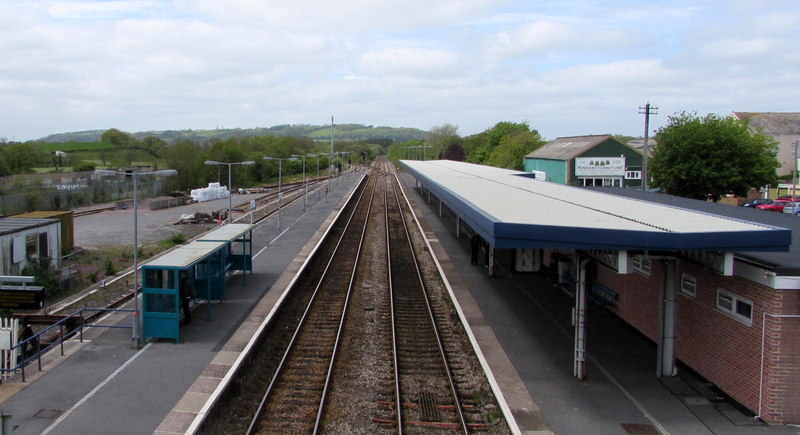
Whitland railway station
Whitland railway station serves the town of Whitland in Carmarthenshire, Wales. It is located on the West Wales Line from Swansea. To the west of the station...

Landsker Borderlands Trail
The Landsker Borderlands Trail is a waymarked long distance footpath in the United Kingdom running through Pembrokeshire and Carmarthenshire in West Wales...

Whitland
Whitland (Welsh: Hendy-gwyn, lit. 'Old White House', or Hendy-gwyn ar Daf, lit. 'Old White House on the River Taf', from the medieval Ty Gwyn ar Daf) is...

Ysgol Dyffryn Taf School
Dyffryn Taf is the name of a Comprehensive School with both English and Welsh classes in Whitland, Carmarthenshire, Wales, United Kingdom. == History... ==
Nearby Amenities
Located within 500m of 51.807799,-4.6291038Have you been to High Street?
Leave your review of High Street below (or comments, questions and feedback).