High Orchard
Settlement in Gloucestershire Gloucester
England
High Orchard
High Orchard is a small village located in the county of Gloucestershire in England. Situated in the South West region of the country, it lies approximately 10 miles south of the city of Gloucester and 30 miles north of Bristol. The village is nestled in the beautiful Cotswolds, an area renowned for its picturesque landscapes and charming rural communities.
High Orchard boasts a population of around 500 residents, creating a close-knit community atmosphere. The village is characterized by its traditional architecture, with many buildings dating back several centuries. The surrounding countryside offers stunning views of rolling hills, green fields, and meandering streams, providing ample opportunities for outdoor activities such as hiking and cycling.
Despite its small size, High Orchard benefits from a few essential amenities. The village has a local pub, offering a warm and welcoming environment for residents and visitors alike. Additionally, a village hall serves as a hub for community events and gatherings. For shopping and other services, residents can easily access nearby towns such as Stroud or Gloucester.
The village's location in the Cotswolds makes it an ideal base for exploring the wider region. Tourists are drawn to the area for its picturesque beauty, quaint villages, and historic landmarks. The nearby countryside offers numerous walking trails and nature reserves, allowing visitors to immerse themselves in the natural beauty of the Cotswolds.
In summary, High Orchard is a small and picturesque village in Gloucestershire, offering a tranquil and idyllic setting for residents and visitors to enjoy the charm of the Cotswolds.
If you have any feedback on the listing, please let us know in the comments section below.
High Orchard Images
Images are sourced within 2km of 51.859871/-2.2530074 or Grid Reference SO8217. Thanks to Geograph Open Source API. All images are credited.

High Orchard is located at Grid Ref: SO8217 (Lat: 51.859871, Lng: -2.2530074)
Administrative County: Gloucestershire
District: Gloucester
Police Authority: Gloucestershire
What 3 Words
///lend.rail.doctor. Near Gloucester, Gloucestershire
Nearby Locations
Related Wikis
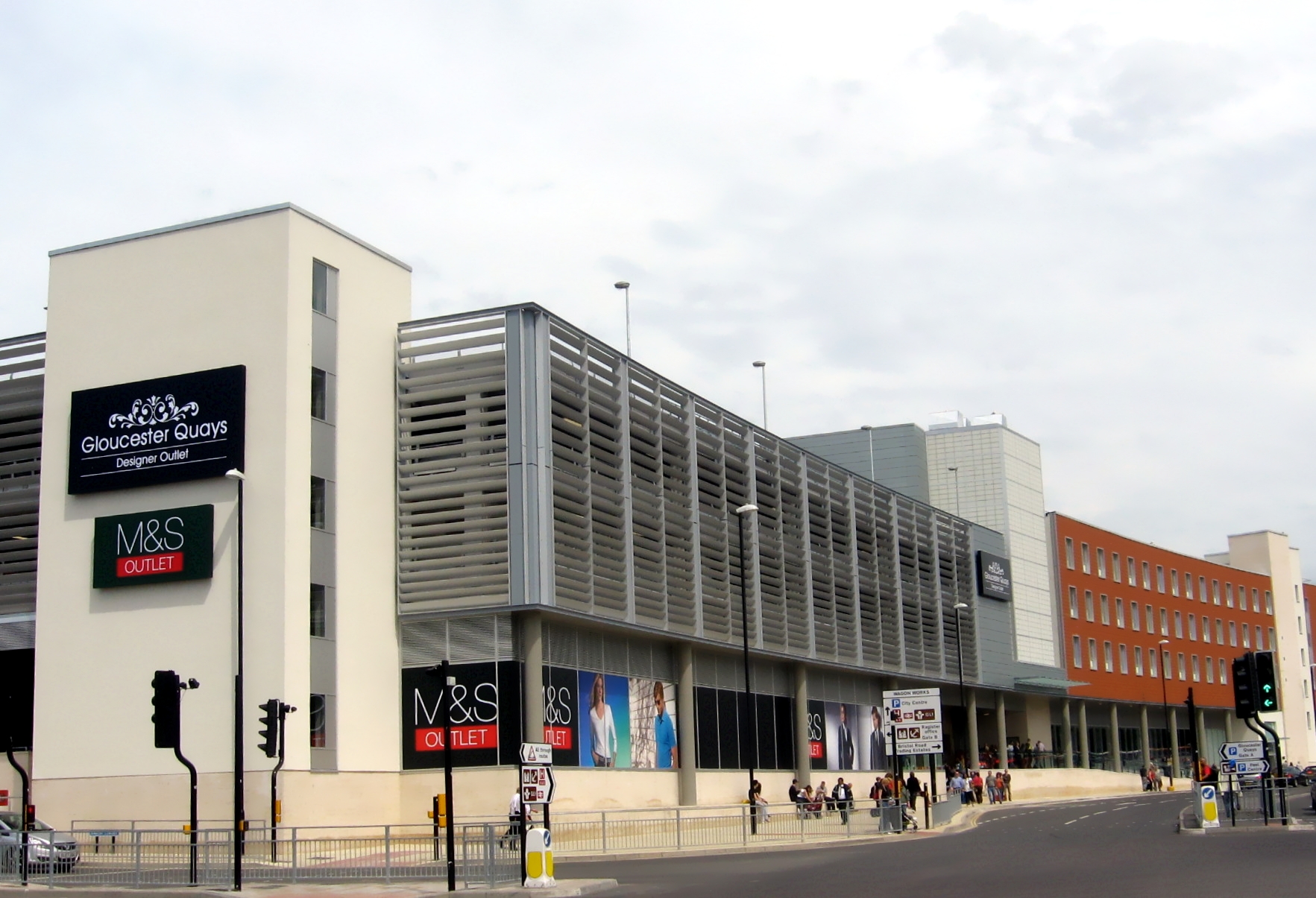
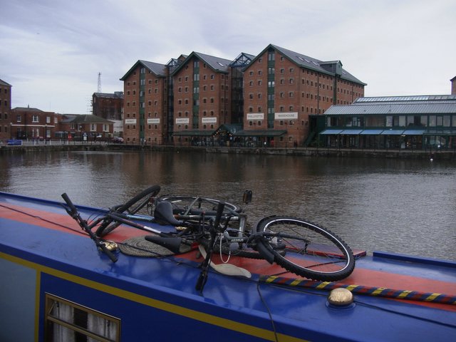
Gloucester Quays
Gloucester Quays (also known as Gloucester Quays Designer Outlet Centre) is an outlet shopping centre on St Ann Way, Gloucester, in the area of the city...
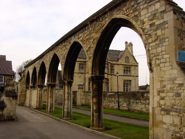
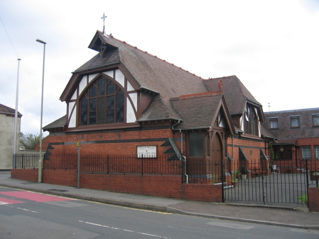
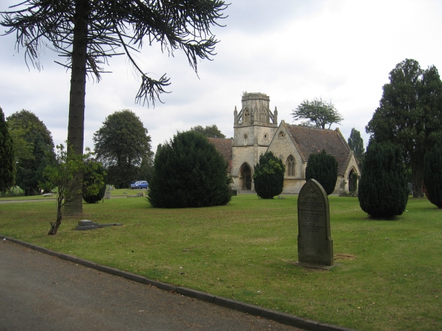
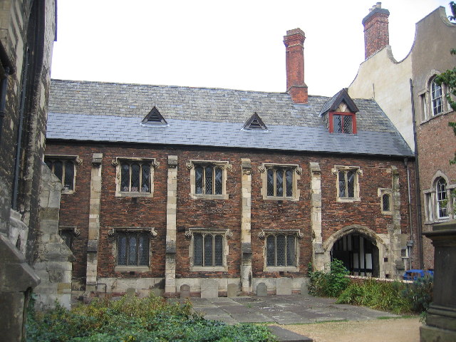
Church of St Luke, Gloucester
The Church of St Luke, High Orchard, Gloucester, was a Church of England church built and endowed by the Reverend Samuel Lysons, rector of Rodmarton, who...

LV 14 Sula
LV 14 Sula is a former Humber Conservancy Board lightvessel built in 1958 by Cook, Welton & Gemmell. Originally named SPURN, she was stationed on the Humber...

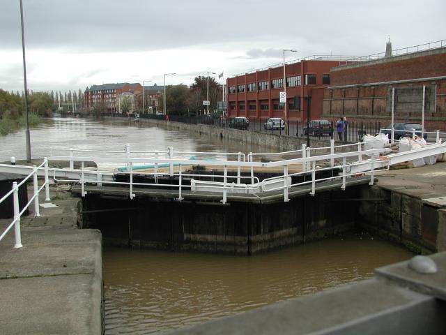
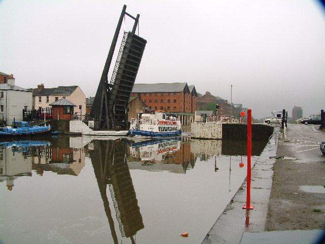
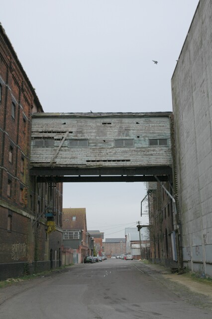
Llanthony Road Bridge
Llanthony Road Bridge is a bridge over the Gloucester and Sharpness Canal in the Gloucester Docks and High Orchard area. It is the third bridge on the...

The Tall Ship, Gloucester
The Tall Ship is a Grade II listed building at 134 Southgate Street, Gloucester. It is located at the entrance to Gloucester Docks. It became a listed...

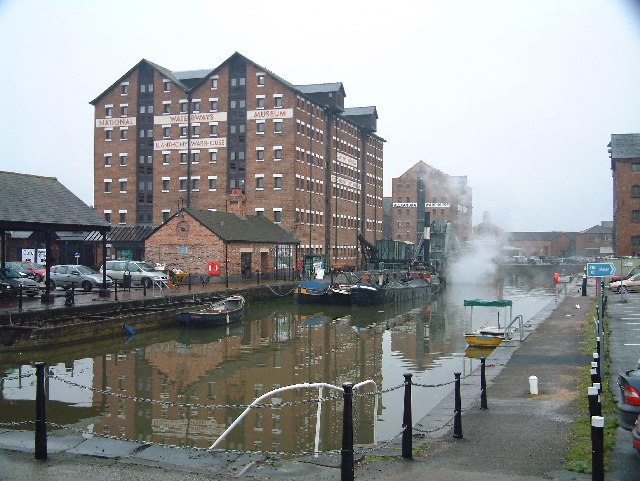
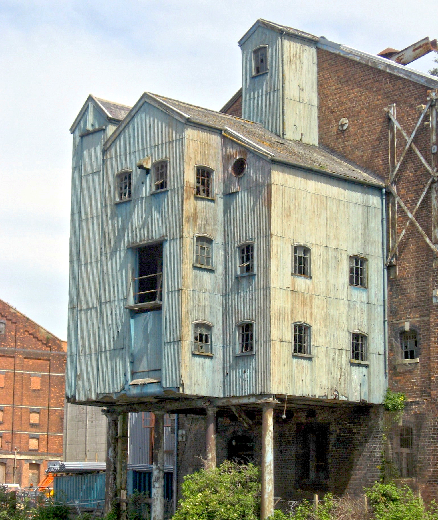
Gloucester Waterways Museum
Gloucester Waterways Museum is housed in a Victorian warehouse at Gloucester Docks in the city of Gloucester, England. It is located along the Gloucester...
High Orchard
High Orchard was an industrial area of the city of Gloucester in England that was developed in the 19th century on the former orchard of the Priory of...

High Orchard Bridge
High Orchard Bridge is a bascule bridge over the Gloucester and Sharpness Canal in High Orchard in the city of Gloucester, England. It was opened in 2008...
Nearby Amenities
Located within 500m of 51.859871,-2.2530074Have you been to High Orchard?
Leave your review of High Orchard below (or comments, questions and feedback).