High Park Corner

Settlement in Essex Colchester

England

High Park Corner

River Colne at Fingringhoe Wick Nature Reserve 'Fingringhoe Wick is one of the finest nature reserves in the county. In the reserve you will find nature trails, bird hides and view points with stunning estuary views. 

There were 40 years of gravel extraction on the nature reserve before Essex Wildlife Trust bought it.  It offers a wide range of habitats including areas of grassland, gorse heathland, reedbeds, ponds and the estuary itself.  

Fingringhoe Wick is famous for its Nightingales each spring.  The songsters ring out over the reserve and there are usually about 25 males to be heard.  Thousands of waders and wildfowl use the estuary in the winter and as many as 700 Avocets can be seen.'

See
<span class="nowrap"><a title="http://www.essexwt.org.uk/visitor_centres__nature_reserves/fingringhoe_wick/" rel="nofollow ugc noopener" href="http://www.essexwt.org.uk/visitor_centres__nature_reserves/fingringhoe_wick/">Link</a><img style="margin-left:2px;" alt="External link" title="External link - shift click to open in new window" src="https://s1.geograph.org.uk/img/external.png" width="10" height="10"/></span>
River Colne at Fingringhoe Wick Nature Reserve Credit: PAUL FARMER

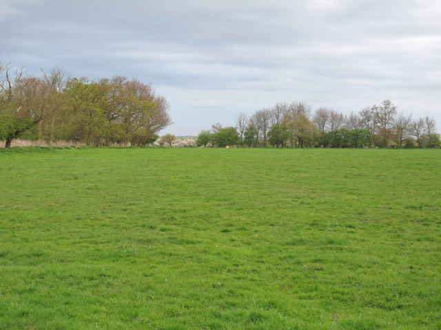
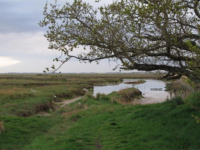
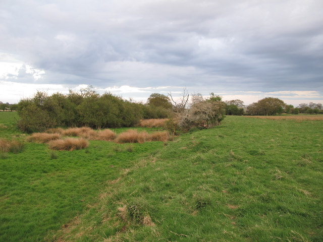
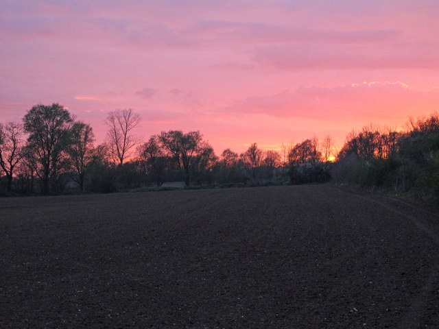
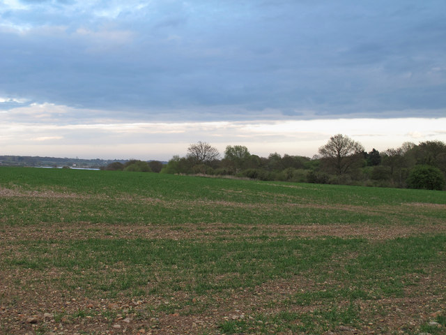
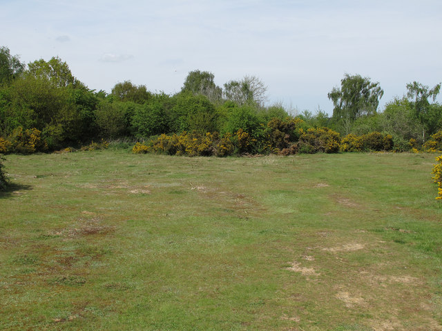
High Park Corner is a small village located in the county of Essex, England. Situated approximately 3 miles east of the town of Harlow, it is part of the Epping Forest district. The village is surrounded by picturesque countryside, with rolling hills and fields, providing a peaceful and scenic environment.

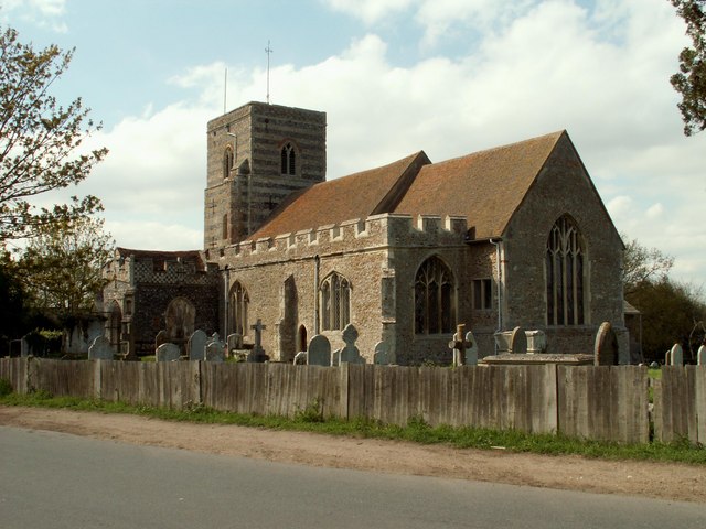
High Park Corner is a predominantly residential area, with a small population of around 500 residents. The village consists mainly of detached and semi-detached houses, offering a mix of modern and traditional architectural styles. The community is close-knit, and residents often engage in local activities and events, fostering a friendly and welcoming atmosphere.

Despite its rural setting, High Park Corner benefits from good transportation links. The village is conveniently located near major road networks, with the M11 motorway just a short drive away, allowing for easy access to nearby towns and cities. Public transport options are also available, with regular bus services connecting High Park Corner to Harlow and other surrounding areas.

In terms of amenities, High Park Corner has limited facilities within the village itself. However, residents can find a range of shops, supermarkets, and leisure facilities in the nearby town of Harlow. The village is also in close proximity to several schools, making it an attractive location for families with children.

Overall, High Park Corner offers a tranquil and idyllic countryside setting, while still providing convenient access to nearby towns and amenities. Its peaceful atmosphere and strong sense of community make it a desirable place to reside.

If you have any feedback on the listing, please let us know in the comments section below.

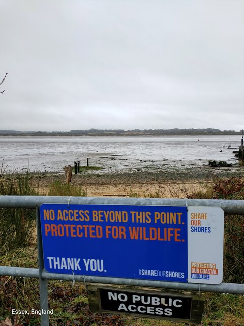
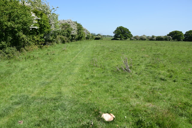
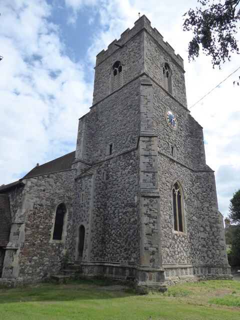
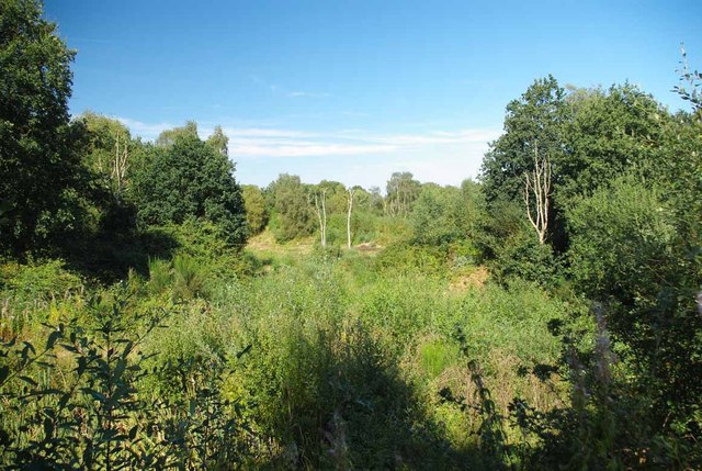
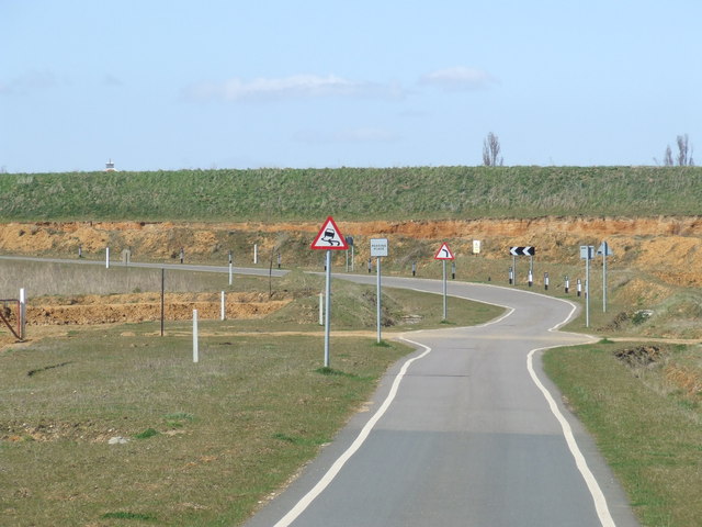
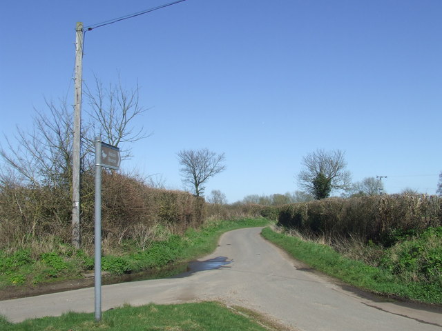
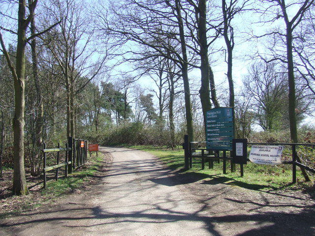
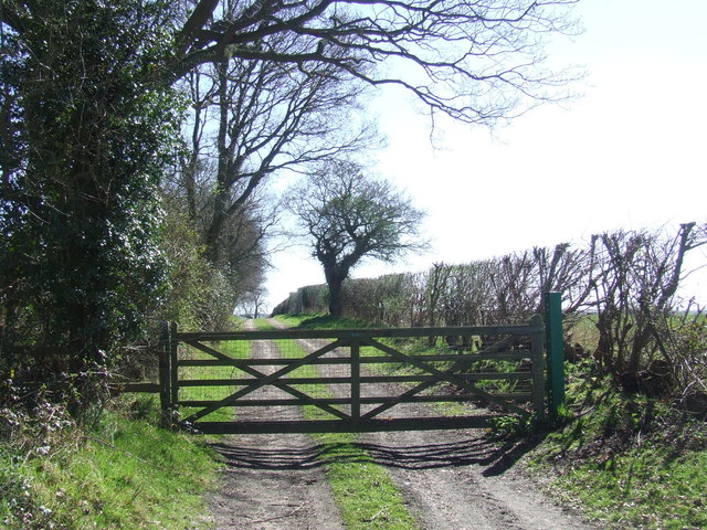
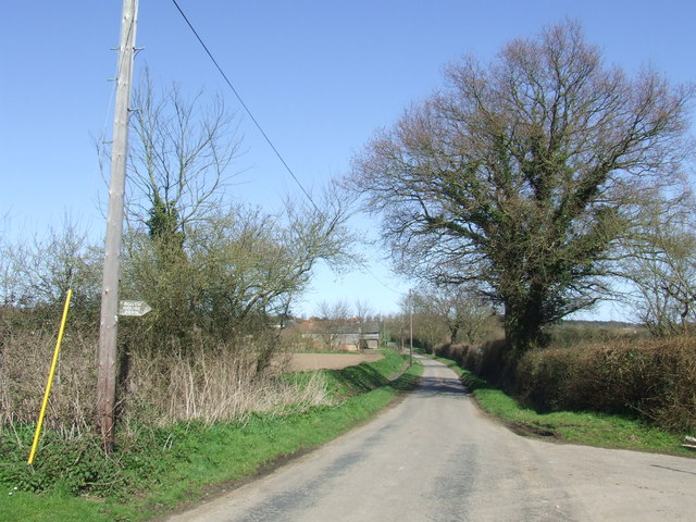
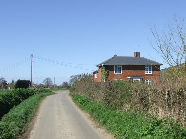
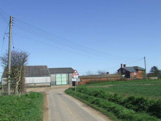
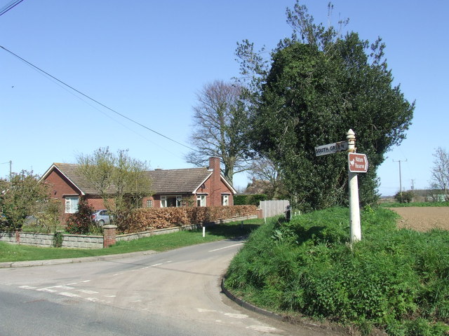
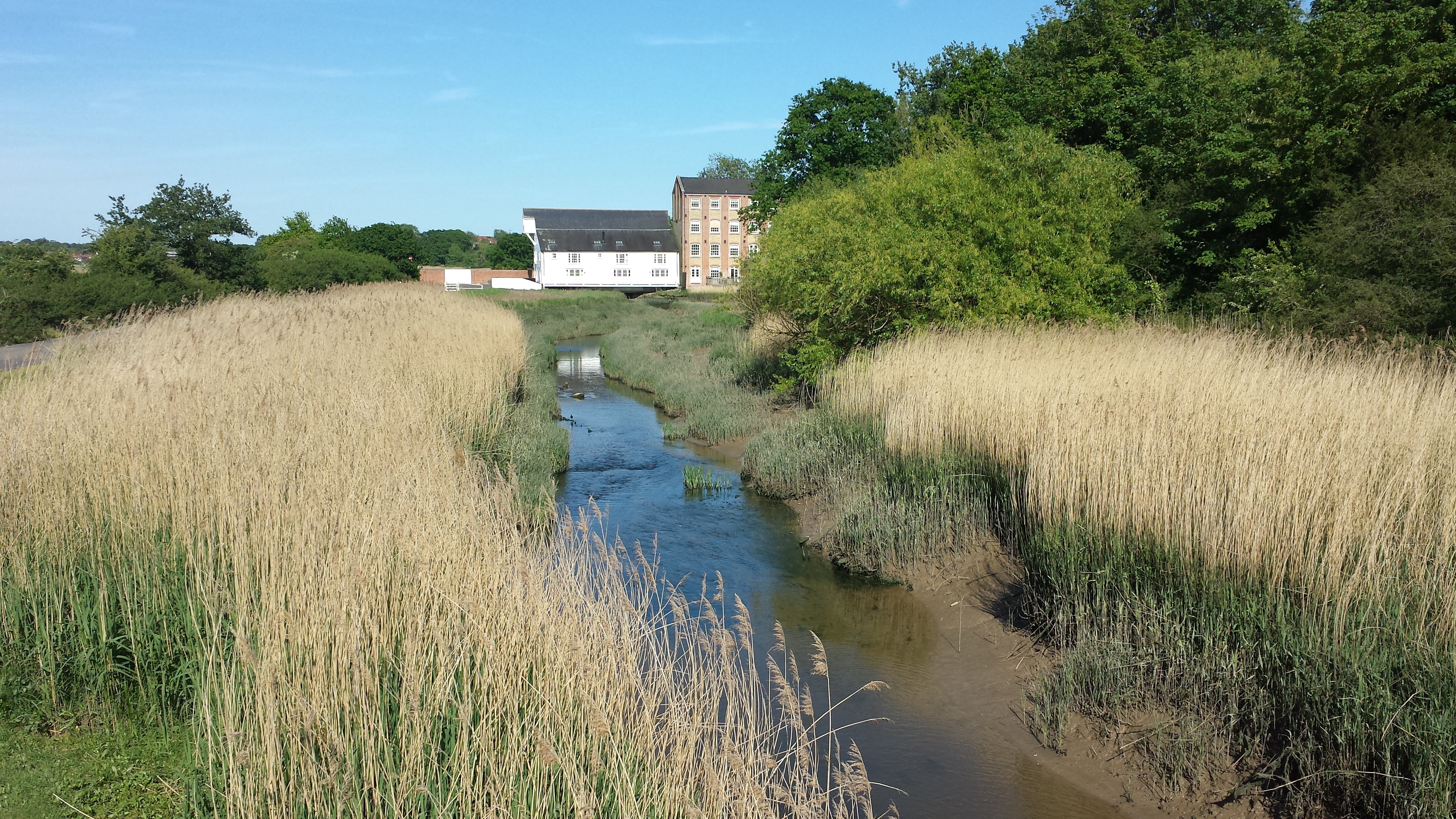
High Park Corner Images

Images are sourced within 2km of 51.846911/0.95629117 or Grid Reference TM0320. Thanks to Geograph Open Source API. All images are credited.

River Colne at Fingringhoe Wick Nature Reserve 'Fingringhoe Wick is one of the finest nature reserves in the county. In the reserve you will find nature trails, bird hides and view points with stunning estuary views. 

There were 40 years of gravel extraction on the nature reserve before Essex Wildlife Trust bought it.  It offers a wide range of habitats including areas of grassland, gorse heathland, reedbeds, ponds and the estuary itself.  

Fingringhoe Wick is famous for its Nightingales each spring.  The songsters ring out over the reserve and there are usually about 25 males to be heard.  Thousands of waders and wildfowl use the estuary in the winter and as many as 700 Avocets can be seen.'

See
<span class="nowrap"><a title="http://www.essexwt.org.uk/visitor_centres__nature_reserves/fingringhoe_wick/" rel="nofollow ugc noopener" href="http://www.essexwt.org.uk/visitor_centres__nature_reserves/fingringhoe_wick/">Link</a><img style="margin-left:2px;" alt="External link" title="External link - shift click to open in new window" src="https://s1.geograph.org.uk/img/external.png" width="10" height="10"/></span>
River Colne at Fingringhoe Wick Nature Reserve
'Fingringhoe Wick is one of the finest nature reserves in the county. In the reserve you will find nature trails, bird hides and view points with stunning estuary views. There were 40 years of gravel extraction on the nature reserve before Essex Wildlife Trust bought it. It offers a wide range of habitats including areas of grassland, gorse heathland, reedbeds, ponds and the estuary itself. Fingringhoe Wick is famous for its Nightingales each spring. The songsters ring out over the reserve and there are usually about 25 males to be heard. Thousands of waders and wildfowl use the estuary in the winter and as many as 700 Avocets can be seen.' See LinkExternal link
Sheep pasture on Fingrinhoe Ranges I am on the public footpath which skirts the norther edge of the military firing ranges. The path can only be walked when the red flags are not flying. Just in front of me is a large field mushroom.
Sheep pasture on Fingrinhoe Ranges
I am on the public footpath which skirts the norther edge of the military firing ranges. The path can only be walked when the red flags are not flying. Just in front of me is a large field mushroom.
Wivenhoe, St Mary the Virgin
Regrowth at Fingeringhoe Wick A view across one of the former gravel pits on Fingeringhoe Wick Nature Reserve <span class="nowrap"><a title="http://www.essexwt.org.uk/visitor_centres__nature_reserves/fingringhoe_wick/" rel="nofollow ugc noopener" href="http://www.essexwt.org.uk/visitor_centres__nature_reserves/fingringhoe_wick/">Link</a><img style="margin-left:2px;" alt="External link" title="External link - shift click to open in new window" src="https://s1.geograph.org.uk/img/external.png" width="10" height="10"/></span>
Regrowth at Fingeringhoe Wick
A view across one of the former gravel pits on Fingeringhoe Wick Nature Reserve LinkExternal link
Furneaux Lane near Fingringhoe Furneaux Lane passes through a sand and gravel pit.  Looking at the map, it appears that the road has recently been rerouted.  This image shows a new section of the road.
Furneaux Lane near Fingringhoe
Furneaux Lane passes through a sand and gravel pit. Looking at the map, it appears that the road has recently been rerouted. This image shows a new section of the road.
Country lane near Fingringhoe, Essex The signpost points to a nature reserve at the far end of this country lane.
Country lane near Fingringhoe, Essex
The signpost points to a nature reserve at the far end of this country lane.
Fingringhoe Wick Nature Reserve, Essex The entrance gates to the nature reserve at Fingringhoe Wick.

The nature reserve is managed by the Essex Wildlife Trust.  More information is available here: <span class="nowrap"><a title="http://www.essexwt.org.uk/reserves/fingringhoe-wick" rel="nofollow ugc noopener" href="http://www.essexwt.org.uk/reserves/fingringhoe-wick">Link</a><img style="margin-left:2px;" alt="External link" title="External link - shift click to open in new window" src="https://s1.geograph.org.uk/img/external.png" width="10" height="10"/></span>
Fingringhoe Wick Nature Reserve, Essex
The entrance gates to the nature reserve at Fingringhoe Wick. The nature reserve is managed by the Essex Wildlife Trust. More information is available here: LinkExternal link
Gated track near Fingringhoe
South Green Road near Fingringhoe, Essex South Green Road is a quiet lane in a rural part of Essex.
South Green Road near Fingringhoe, Essex
South Green Road is a quiet lane in a rural part of Essex.
South Green Road near Fingringhoe, Essex South Green Road is a lane on a rural part of Essex.  Here it passes a farmhouse.
South Green Road near Fingringhoe, Essex
South Green Road is a lane on a rural part of Essex. Here it passes a farmhouse.
Plane Hall Farm near Fingringhoe, Essex Plane Hall Farm is in a rural part of Essex.
Plane Hall Farm near Fingringhoe, Essex
Plane Hall Farm is in a rural part of Essex.
South Green Road, near Fingringhoe
Fingringhoe Ranges A public footpath leads through the military practice ranges - only accessible when the red flag is not flying.
Fingringhoe Ranges
A public footpath leads through the military practice ranges - only accessible when the red flag is not flying.
Fingringhoe Marsh This section of the marsh is close to a military practice range - only accessible when the red flag is not flying.
Fingringhoe Marsh
This section of the marsh is close to a military practice range - only accessible when the red flag is not flying.
Silted ditch between fields, Fingringhoe Ranges A silted up ditch close to a footpath near Fingringhoe Ranges, accessible only when the red flag is not flying.
Silted ditch between fields, Fingringhoe Ranges
A silted up ditch close to a footpath near Fingringhoe Ranges, accessible only when the red flag is not flying.
Red sky over arable land View over arable field, near South House Farm, just before sunset.
Red sky over arable land
View over arable field, near South House Farm, just before sunset.
Arable land near Fingringhoe Wick Looking towards the River Colne, adjacent to Fingringhoe Wick Nature Reserve.
Arable land near Fingringhoe Wick
Looking towards the River Colne, adjacent to Fingringhoe Wick Nature Reserve.
East Heath, Fingringhoe Wick Fingringhoe Wick Nature Reserve is owned and managed by the Essex Wildlife Trust.

Essex Wildlife Trust: <span class="nowrap"><a title="http://www.webcitation.org/6Gg3tDwDL" rel="nofollow ugc noopener" href="http://www.webcitation.org/6Gg3tDwDL">Link</a><img style="margin-left:2px;" alt="External link" title="External link - shift click to open in new window" src="https://s1.geograph.org.uk/img/external.png" width="10" height="10"/></span>
Wild Essex: <span class="nowrap"><a title="http://www.webcitation.org/6Gg3yL7hI" rel="nofollow ugc noopener" href="http://www.webcitation.org/6Gg3yL7hI">Link</a><img style="margin-left:2px;" alt="External link" title="External link - shift click to open in new window" src="https://s1.geograph.org.uk/img/external.png" width="10" height="10"/></span>
East Heath, Fingringhoe Wick
Fingringhoe Wick Nature Reserve is owned and managed by the Essex Wildlife Trust. Essex Wildlife Trust: LinkExternal link Wild Essex: LinkExternal link
Show me another place!

High Park Corner is located at Grid Ref: TM0320 (Lat: 51.846911, Lng: 0.95629117)

Administrative County: Essex

District: Colchester

Police Authority: Essex

What 3 Words

///wool.stamp.pirate. Near Wivenhoe, Essex

Nearby Locations

High Park Corner

Related Wikis

East Donyland

East Donyland is a civil parish in the City of Colchester district of Essex, England. The civil parish includes the village of Rowhedge. The parish touches...

Fingringhoe

Fingringhoe is a village and civil parish in the City of Colchester district of Essex, England. The centre of the village is classified as a conservation...

Roman River

The Roman River is a river that flows entirely through the English county of Essex. It is a tributary of the River Colne, flowing into its tidal estuary...

Wivenhoe railway station

Wivenhoe railway station is on the Sunshine Coast Line, a branch of the Great Eastern Main Line, in the East of England, serving the small town of Wivenhoe...

Nearby Amenities

Located within 500m of 51.846911,0.95629117
Bus Stop
Brook Hall Road
Naptan AtcoCode: 1500FINGBAA
Naptan Bearing: E
Naptan BusStopType: CUS
Naptan CommonName: Brook Hall Road
Naptan Crossing: Brook Hall Road
Naptan Indicator: Opp
Naptan Landmark: Brook Hall Road
Naptan NaptanCode: esxjagtd
Naptan Street: Abberton Road
Naptan Verified: no
Public Transport: platform
Source: naptan_import
Lat/Long: 51.8469742/0.9564625
Bus Stop
Brook Hall Road
Naptan AtcoCode: 1500FINGBRK
Naptan Bearing: W
Naptan BusStopType: CUS
Naptan CommonName: Brook Hall Road
Naptan Crossing: Brook Hall Road
Naptan Indicator: Adj
Naptan Landmark: Brook Hall Road
Naptan NaptanCode: esxgmjtp
Naptan Street: Abberton Road
Naptan Verified: no
Public Transport: platform
Source: naptan_import
Lat/Long: 51.8469109/0.9564729
Post Box
Collection Times: Mo-Fr 17:00; Sa 10:30
Operator: Royal Mail
Post Box Type: lamp
Ref: CO5 148
Royal Cypher: EIIR
Royal Cypher Wikidata: Q33102113
Source: Bing; survey; gps
Source Position: gps
Lat/Long: 51.8468379/0.9567632
Frere Way
Naptan AtcoCode: 1500IM1896
Naptan BusStopType: CUS
Naptan NaptanCode: esxgmjtw
Naptan Verified: no
Public Transport: platform
Source: naptan
Lat/Long: 51.8461934/0.9587708
Power: pole
Lat/Long: 51.8488317/0.9536661
Power: pole
Lat/Long: 51.8496717/0.954971
Power: pole
Lat/Long: 51.8500238/0.9541959
Power: pole
Lat/Long: 51.8504877/0.9532142
The data included in this document is from www.openstreetmap.org. The data is made available under ODbL.

Have you been to High Park Corner?

Leave your review of High Park Corner below (or comments, questions and feedback).