Happy Bottom

Settlement in Dorset

England

Happy Bottom

Footpath across golf course fairway A public right-of-way across one of the fairways at Broadstone Golf Course, at Corfe Hills.
Footpath across golf course fairway Credit: Peter Kazmierczak

Happy Bottom is a small village located in the county of Dorset, England. Situated in the southwest region of the country, it is nestled within the stunning landscape of the Purbeck Hills. The village derives its name from the lush green valley in which it is situated, characterized by its fertile farmland and scenic beauty.

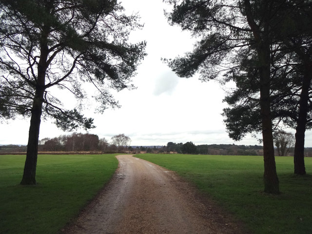
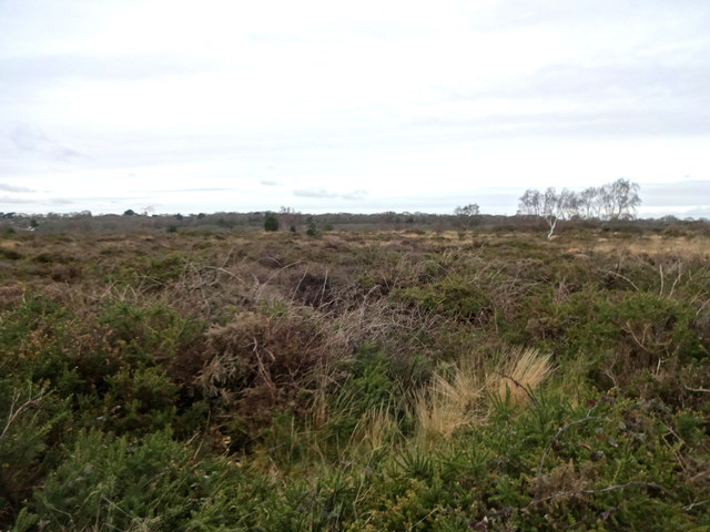
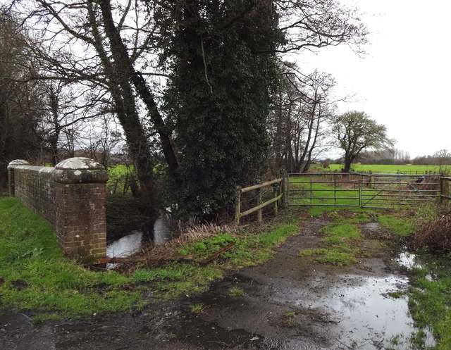
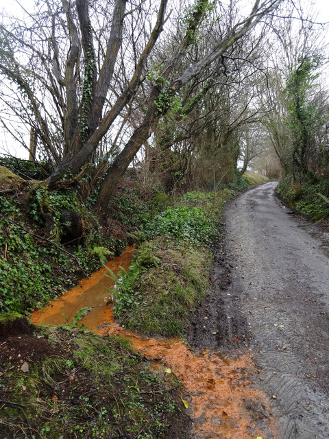
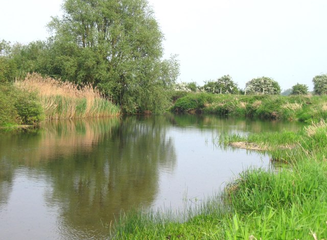
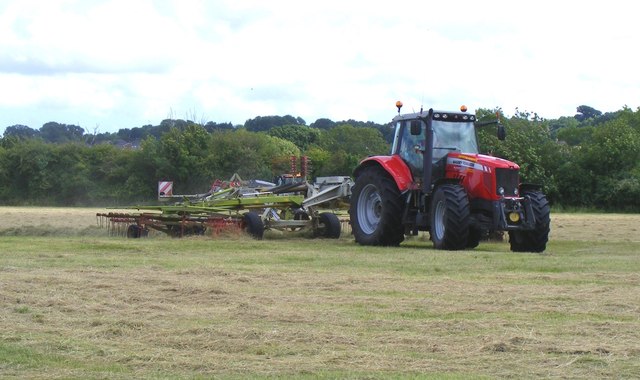
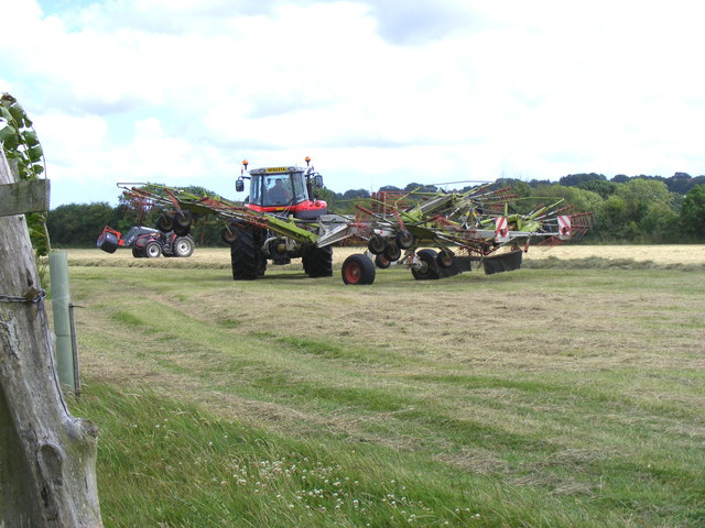
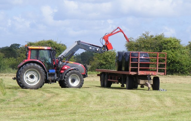
The village of Happy Bottom is home to a close-knit community of residents who enjoy a peaceful and idyllic lifestyle. The area is known for its picturesque countryside, with rolling hills, meandering streams, and an abundance of wildlife. The village is surrounded by vast expanses of green fields and meadows, providing a tranquil and serene atmosphere for its inhabitants.

Despite its small size, Happy Bottom offers a range of amenities for its residents. The village boasts a charming local pub, which serves as a central meeting point for locals and visitors alike. Additionally, there is a village hall that hosts various social events and activities throughout the year, fostering a strong sense of community spirit.

The village is well-positioned for those who enjoy outdoor activities, with numerous walking and cycling trails that wind through the surrounding countryside. The nearby Purbeck Heritage Coastline offers breathtaking views and opportunities for activities such as swimming, sailing, and fishing.

Overall, Happy Bottom, Dorset is a hidden gem in the heart of the English countryside. With its stunning natural beauty, strong community spirit, and access to outdoor pursuits, it provides a peaceful and fulfilling place to call home.

If you have any feedback on the listing, please let us know in the comments section below.
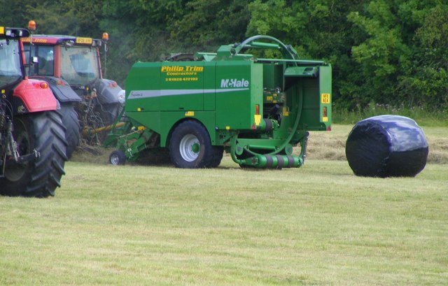
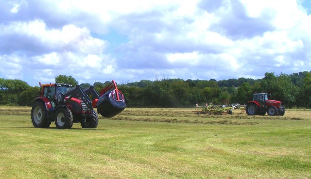
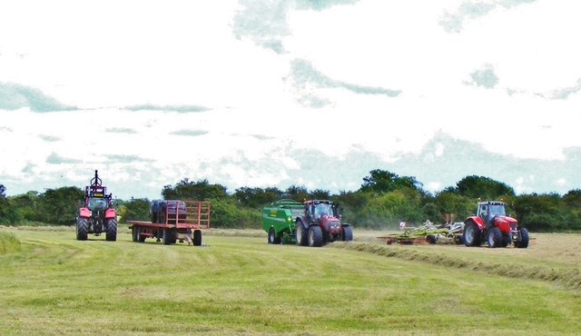
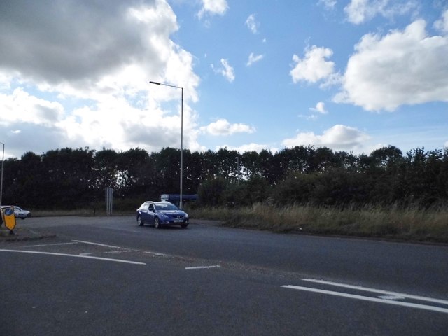
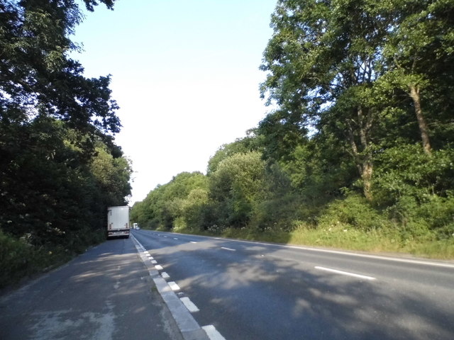
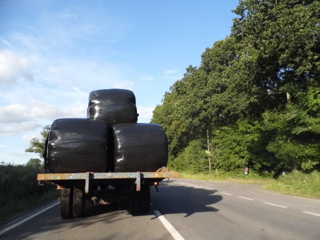
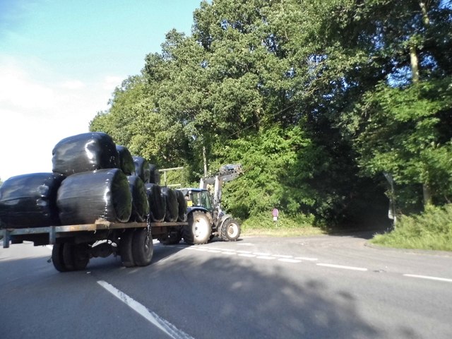
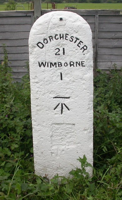
Happy Bottom Images

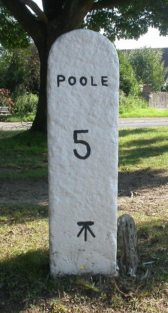
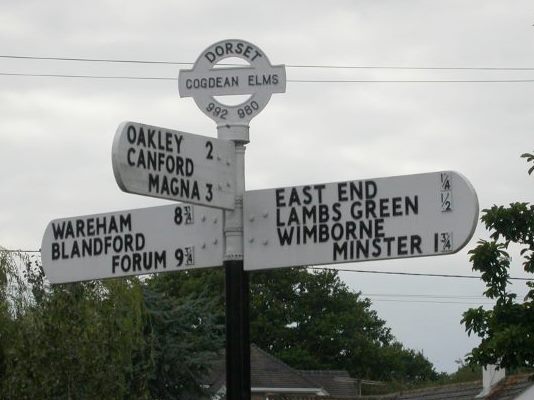
Images are sourced within 2km of 50.780937/-2.0022175 or Grid Reference SY9997. Thanks to Geograph Open Source API. All images are credited.

Footpath across golf course fairway A public right-of-way across one of the fairways at Broadstone Golf Course, at Corfe Hills.
Footpath across golf course fairway
A public right-of-way across one of the fairways at Broadstone Golf Course, at Corfe Hills.
Corfe and Barrow Hills Nature Reserve Looking towards Rushcombe Bottom, from the footpath across the Corfe and Barrow Hills Nature Reserve.
Corfe and Barrow Hills Nature Reserve
Looking towards Rushcombe Bottom, from the footpath across the Corfe and Barrow Hills Nature Reserve.
Tributary of the River Stour A stream passes under Mill Street, the B3078, leading to Netherwood Mead.
Tributary of the River Stour
A stream passes under Mill Street, the B3078, leading to Netherwood Mead.
Lambs Green Lane Not sure what's turning the water orange, with this field run-off.
Lambs Green Lane
Not sure what's turning the water orange, with this field run-off.
Beautiful stretch of the Dorset Stour Taken on the South side of the river, on the Bear Mead nature reserve, near Cowgrove.
Beautiful stretch of the Dorset Stour
Taken on the South side of the river, on the Bear Mead nature reserve, near Cowgrove.
Cutting the hay at Bear Mead nature reserve, near Cowgrove
Hay cutting at Bear Mead nature reserve One of the amazing machines that cut the hay and gather it into long piles to be subsequently picked up and baled.
Hay cutting at Bear Mead nature reserve
One of the amazing machines that cut the hay and gather it into long piles to be subsequently picked up and baled.
Loading the baled and wrapped hay, ready for removal Mid-summer hay cutting at Bear Mead nature reserve
Loading the baled and wrapped hay, ready for removal
Mid-summer hay cutting at Bear Mead nature reserve
The incredible baling machine at Bear Mead nature reserve The machine scoops up the pre-cut silage and forms it into bales, then wraps it in plastic before disgorging it onto the field to await collection.
The incredible baling machine at Bear Mead nature reserve
The machine scoops up the pre-cut silage and forms it into bales, then wraps it in plastic before disgorging it onto the field to await collection.
Hay cutting at Bear Mead nature reserve One machine still cutting the grass whilst another carries away the wrapped bales to be loaded and transported.
Hay cutting at Bear Mead nature reserve
One machine still cutting the grass whilst another carries away the wrapped bales to be loaded and transported.
Hay cutting at Bear Mead nature reserve Continuous operation. Cutting of the grass and forming long lines ready for the next machine to scoop it up, form it into round bales and wrap it in plastic. It then dumps it out of the back end ready for the third machine to collect and lift it onto the flat bed trailer for subsequent transportation.
Hay cutting at Bear Mead nature reserve
Continuous operation. Cutting of the grass and forming long lines ready for the next machine to scoop it up, form it into round bales and wrap it in plastic. It then dumps it out of the back end ready for the third machine to collect and lift it onto the flat bed trailer for subsequent transportation.
Roundabout on the A31, Lambs Green This was my first digital photo in SY
Roundabout on the A31, Lambs Green
This was my first digital photo in SY
Layby on the A31, Sleight
Bale carrier on the A31, Sleight
Old Milestone by the A31, west of Lambs Green Stone post (plate lost) by the A31, in parish of CORFE MULLEN (EAST DORSET District), opposite Eastern end of Little Chef car park, on wide verge 2.5m back from road, on North side of road. Dorset 2 (limestone), erected by the Puddletown & Wimborne turnpike trust in the 19th century. 

Inscription reads:-
DORCHESTER
21
WIMBORNE
1
Carved benchmark on front face beneath lettering.

Milestone Society National ID: DO_DOWB21
Old Milestone by the A31, west of Lambs Green
Stone post (plate lost) by the A31, in parish of CORFE MULLEN (EAST DORSET District), opposite Eastern end of Little Chef car park, on wide verge 2.5m back from road, on North side of road. Dorset 2 (limestone), erected by the Puddletown & Wimborne turnpike trust in the 19th century. Inscription reads:- DORCHESTER 21 WIMBORNE 1 Carved benchmark on front face beneath lettering. Milestone Society National ID: DO_DOWB21
Old Milestone by the B3074, Corfe Mullen Carved stone post by the B3074, in parish of CORFE MULLEN (EAST DORSET District), Blandford Road, Corfe Mullen, at junction of Wimborne Rd and B3074 by Lockyers Middle School, on East side of road. Dorset 2 (limestone), erected by the Blandford & Poole turnpike trust in the 19th century. 

Inscription reads:-
POOLE
5   
Carved benchmark front lower centre.  

Milestone Society National ID: DO_POBFA05
Old Milestone by the B3074, Corfe Mullen
Carved stone post by the B3074, in parish of CORFE MULLEN (EAST DORSET District), Blandford Road, Corfe Mullen, at junction of Wimborne Rd and B3074 by Lockyers Middle School, on East side of road. Dorset 2 (limestone), erected by the Blandford & Poole turnpike trust in the 19th century. Inscription reads:- POOLE 5 Carved benchmark front lower centre. Milestone Society National ID: DO_POBFA05
Old Direction Sign - Signpost by Wimborne Elms, Corfe Mullen parish Annulus and bar finial - 3 arms; Dorset halo with NGR by the UC road, in parish of Corfe Mullen (East Dorset District), Cogdean Elms, junction of Wimborne Road with Higher Merley Lane.

Surveyed

Milestone Society National ID: DO_SY9997
Old Direction Sign - Signpost by Wimborne Elms, Corfe Mullen parish
Annulus and bar finial - 3 arms; Dorset halo with NGR by the UC road, in parish of Corfe Mullen (East Dorset District), Cogdean Elms, junction of Wimborne Road with Higher Merley Lane. Surveyed Milestone Society National ID: DO_SY9997
Show me another place!

Happy Bottom is located at Grid Ref: SY9997 (Lat: 50.780937, Lng: -2.0022175)

Unitary Authority: Bournemouth, Christchurch and Poole

Police Authority: Dorset

What 3 Words

///fixed.buying.making. Near Wimborne Minster, Dorset

Related Wikis

Corfe Barrows Nature Park

Corfe Barrows Nature Park comprises around nine natural areas, covering an area of 90 hectares, within the Borough of Poole that are being managed for...

Ashington, Dorset

Ashington is a hamlet in Dorset, England. It lies within the unitary authority of Bournemouth, Christchurch and Poole, between the villages of Corfe Mullen...

Corfe Mullen Halt railway station

Corfe Mullen Halt was a station in the English county of Dorset. It was located between Bailey Gate and Broadstone stations on the Somerset and Dorset...

Corfe & Barrow Hills

Corfe & Barrow Hills is a 102.8 hectare biological Site of Special Scientific Interest in Dorset, notified in 1986. One part of it is a Local Nature Reserve...

Nearby Amenities

Located within 500m of 50.780937,-2.0022175
Barrier: kissing_gate
Bicycle: no
Foot: yes
Lat/Long: 50.7847259/-2.0032821
Post Box
Description: West of old railway bridge, next to old church.
Operator: Royal Mail
Operator Wikidata: Q638098
Post Box Type: lamp
Ref: BH21 133
Ref GB Uprn: 10015364999
Lat/Long: 50.781033/-2.002087
Happy Bottom
Place: hamlet
Source: OS OpenData StreetView
Lat/Long: 50.7832281/-2.0065214
Ashington
Place: hamlet
Source: OS OpenData StreetView
Wikidata: Q4805102
Lat/Long: 50.7848291/-1.999153
Board Type: history
Description: Stone Post
Information: board
Tourism: information
Lat/Long: 50.7843051/-2.0049653
Information: board
Tourism: information
Lat/Long: 50.7847527/-2.0059142
Tourism: viewpoint
Lat/Long: 50.7847662/-2.0058973
Information: board
Tourism: information
Lat/Long: 50.7812996/-2.0092595
Barrier: kissing_gate
Bicycle: no
Foot: yes
Lat/Long: 50.7793965/-2.0002792
Barrier: kissing_gate
Bicycle: no
Foot: yes
Lat/Long: 50.7809802/-2.0013713
Leisure: picnic_table
Lat/Long: 50.7810507/-2.0013091
Leisure: picnic_table
Lat/Long: 50.781052/-2.0012459
Access: no
Barrier: kissing_gate
Bicycle: no
Foot: permissive
Lat/Long: 50.7811036/-2.0079607
Access: no
Barrier: kissing_gate
Bicycle: no
Foot: permissive
Lat/Long: 50.7811578/-2.0079215
Barrier: kissing_gate
Bicycle: no
Foot: yes
Lat/Long: 50.7841105/-1.9994247
Power: pole
Lat/Long: 50.7846556/-2.0053679
Power: pole
Lat/Long: 50.7786446/-2.0071189
Power: pole
Lat/Long: 50.7788517/-2.0043828
Power: pole
Lat/Long: 50.7792419/-2.0037138
Power: pole
Lat/Long: 50.7795934/-2.0030233
Power: pole
Lat/Long: 50.78014/-2.0029374
Pole: transition
Power: pole
Lat/Long: 50.7808091/-2.0028071
Power: pole
Lat/Long: 50.781591/-2.0025458
Power: pole
Lat/Long: 50.7821646/-2.0022629
Power: pole
Lat/Long: 50.7826761/-2.0023775
Power: pole
Lat/Long: 50.7833525/-2.0024854
Power: pole
Lat/Long: 50.7840884/-2.0026404
Power: pole
Lat/Long: 50.7849302/-2.0027978
Power: pole
Lat/Long: 50.7795634/-2.0073105
Power: pole
Lat/Long: 50.7799892/-2.0084231
Power: pole
Lat/Long: 50.7786688/-2.0058185
Brookvale Farm
Place: farm
Source: OS OpenData StreetView
Lat/Long: 50.7784402/-2.0044202
Barrow Hill
Place: locality
Source: OS OpenData StreetView
Lat/Long: 50.7782265/-2.0074927
Barrier: kissing_gate
Foot: yes
Lat/Long: 50.7785799/-2.0059044
Barrier: kissing_gate
Foot: yes
Lat/Long: 50.7795183/-2.0070705
Barrier: kissing_gate
Foot: yes
Lat/Long: 50.780249/-2.0075316
Barrier: kissing_gate
Lat/Long: 50.780146/-2.008078
Barrier: kissing_gate
Lat/Long: 50.7797012/-2.0072036
Archaeological Site: tumulus
Historic: archaeological_site
Lat/Long: 50.77862/-2.007203
Archaeological Site: tumulus
Historic: archaeological_site
Lat/Long: 50.778754/-2.0075449
Barrier: kissing_gate
Foot: yes
Lat/Long: 50.7801893/-2.0073166
The data included in this document is from www.openstreetmap.org. The data is made available under ODbL.

Have you been to Happy Bottom?

Leave your review of Happy Bottom below (or comments, questions and feedback).