Hardhorn Village
Settlement in Lancashire Wyre
England
Hardhorn Village

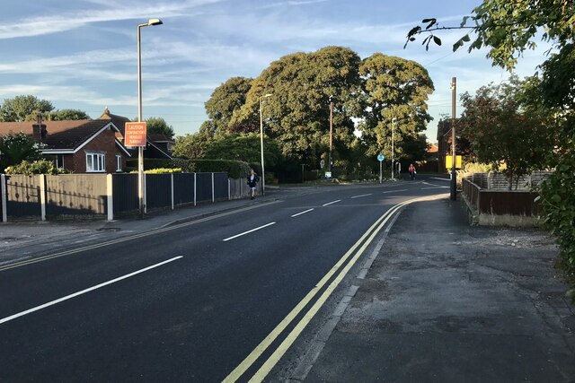
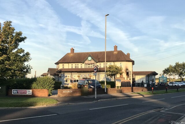
Hardhorn Village is a quaint and picturesque village located in the county of Lancashire, in northwest England. Nestled between the towns of Poulton-le-Fylde and Blackpool, the village is characterized by its rural charm and serene atmosphere.
The village dates back to medieval times and has managed to retain much of its historical architecture and heritage. The main focal point of Hardhorn Village is the beautiful St. Michael's Church, a Grade II listed building that stands tall in the heart of the village. This ancient church is known for its stunning stained glass windows and impressive architectural features.
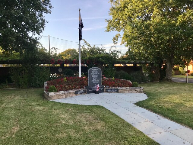
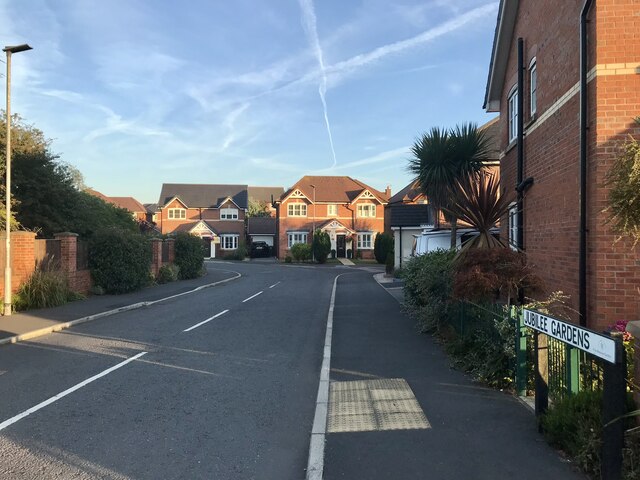
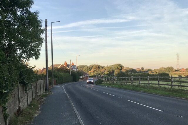
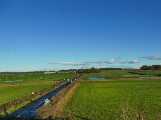
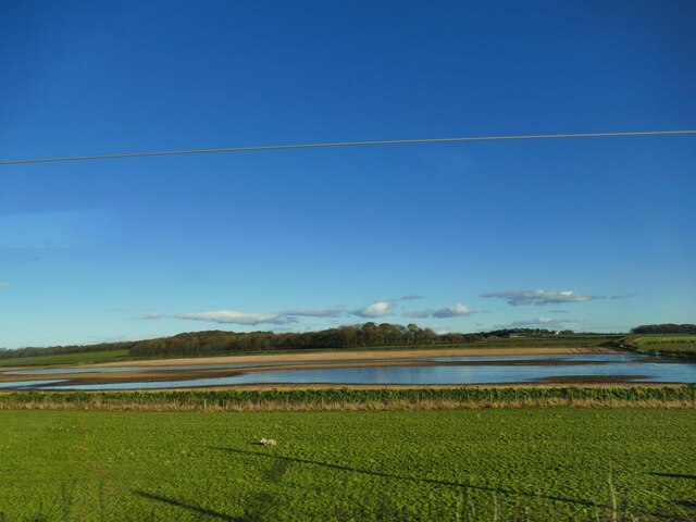
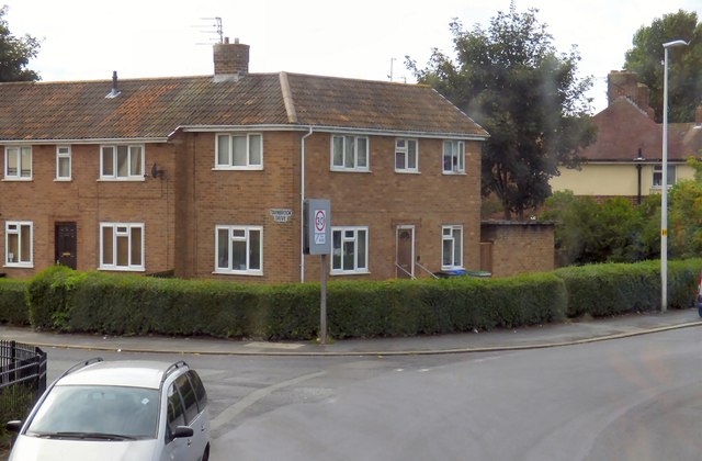
Surrounded by lush green fields and rolling hills, Hardhorn Village offers a peaceful escape from the hustle and bustle of larger towns. The village is also home to a number of quaint cottages and traditional stone houses, adding to its idyllic charm.
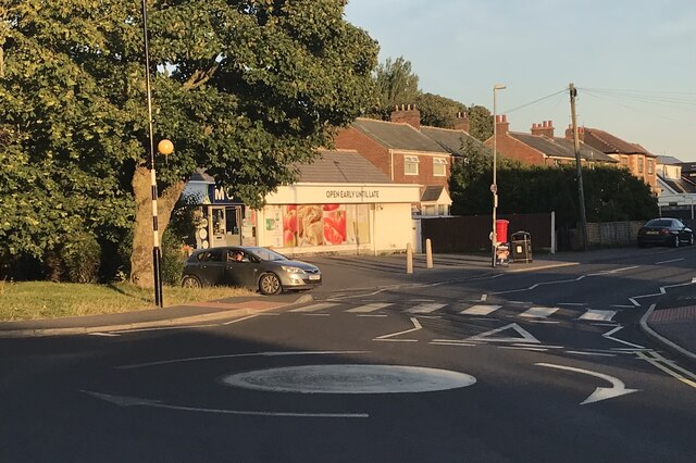
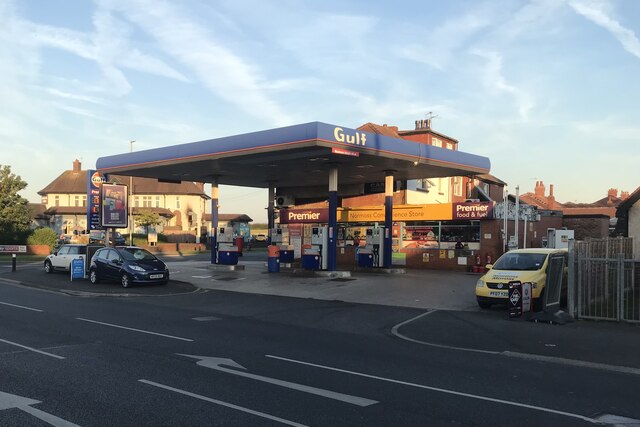
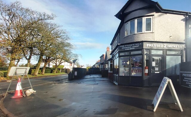
Despite its small size, Hardhorn Village offers a range of amenities for residents and visitors alike. There is a local pub which serves as a social hub for the community, offering a warm and welcoming atmosphere. Additionally, there are a few small shops and businesses that cater to the needs of the village's population.
Hardhorn Village benefits from its close proximity to the nearby towns, which provide additional services and amenities. The village is well-connected by road and public transport, making it easily accessible for those wishing to explore the surrounding areas.
Overall, Hardhorn Village is a delightful destination for those seeking a tranquil and picturesque setting in the heart of Lancashire. Its rich history, charming architecture, and beautiful countryside make it a truly captivating place to visit or call home.
If you have any feedback on the listing, please let us know in the comments section below.
Hardhorn Village Images
Images are sourced within 2km of 53.82899/-2.9853037 or Grid Reference SD3537. Thanks to Geograph Open Source API. All images are credited.

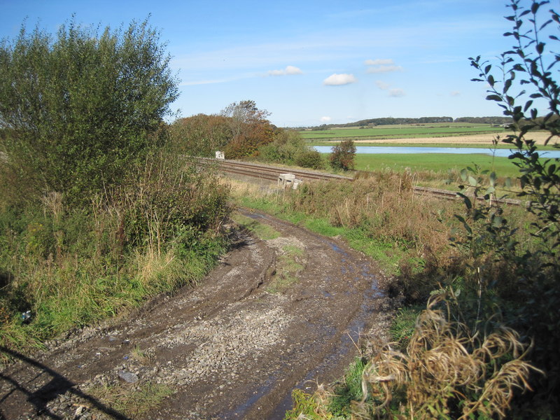
![Blackpool and Poulton le Fylde An aerial view from above The Fylde. Tower is between the North Pier [RH side] and the adjacent Central Pier.](https://s1.geograph.org.uk/geophotos/04/67/62/4676213_fcfb3834.jpg)


Hardhorn Village is located at Grid Ref: SD3537 (Lat: 53.82899, Lng: -2.9853037)
Administrative County: Lancashire
District: Wyre
Police Authority: Lancashire
What 3 Words
///slip.recall.detail. Near Poulton-le-Fylde, Lancashire
Nearby Locations
Related Wikis

Baines School
Baines School is a secondary school in Poulton-Le-Fylde, Lancashire, England. It was founded through James Baines will in 1717 and is a former grammar...
Staining, Lancashire
Staining is a village and civil parish in Lancashire, England, on the Fylde coast close to the seaside resorts of Blackpool and Lytham St Annes, and the...
Singleton railway station (Lancashire)
Singleton railway station served the village of Singleton in Lancashire, England. == History == The station was opened by the Preston and Wyre Joint Railway...
Grange Park, Blackpool
Grange Park is a council-built estate in Blackpool, Lancashire, England. It consists of about 1,800 dwellings mostly 1940s and 1970s housing, with a population...
Nearby Amenities
Located within 500m of 53.82899,-2.9853037Have you been to Hardhorn Village?
Leave your review of Hardhorn Village below (or comments, questions and feedback).