Hall Green

Settlement in Norfolk Breckland

England

Hall Green

Longham Hall The top of the tower of St Mary's church > <a title="https://www.geograph.org.uk/photo/1830231" href="https://www.geograph.org.uk/photo/1830231">Link</a> can be seen in the background.
Longham Hall Credit: Evelyn Simak

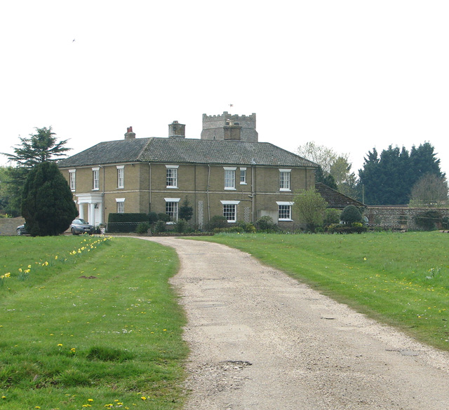
Hall Green is a small village located in the county of Norfolk, England. Situated approximately 15 miles northeast of the city of Norwich, Hall Green is nestled in a rural setting surrounded by picturesque countryside. The village is part of the Broadland district and falls within the civil parish of Rackheath.

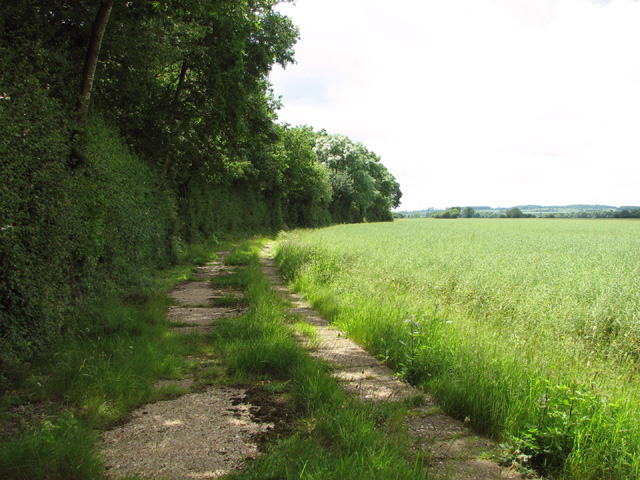
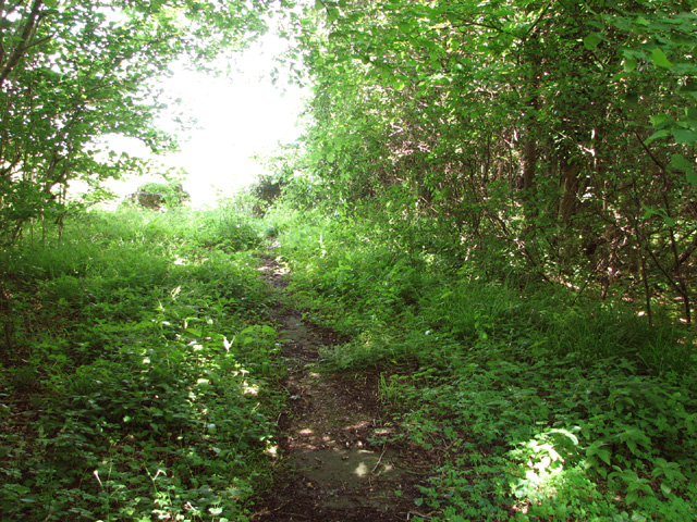
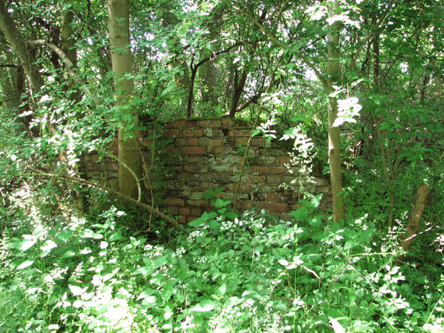
Hall Green is characterized by its quaint and peaceful atmosphere, offering residents a tranquil place to call home. The village is primarily residential, with a small population that fosters a tight-knit community spirit. The houses in Hall Green are predominantly traditional, reflecting the village's historical roots.

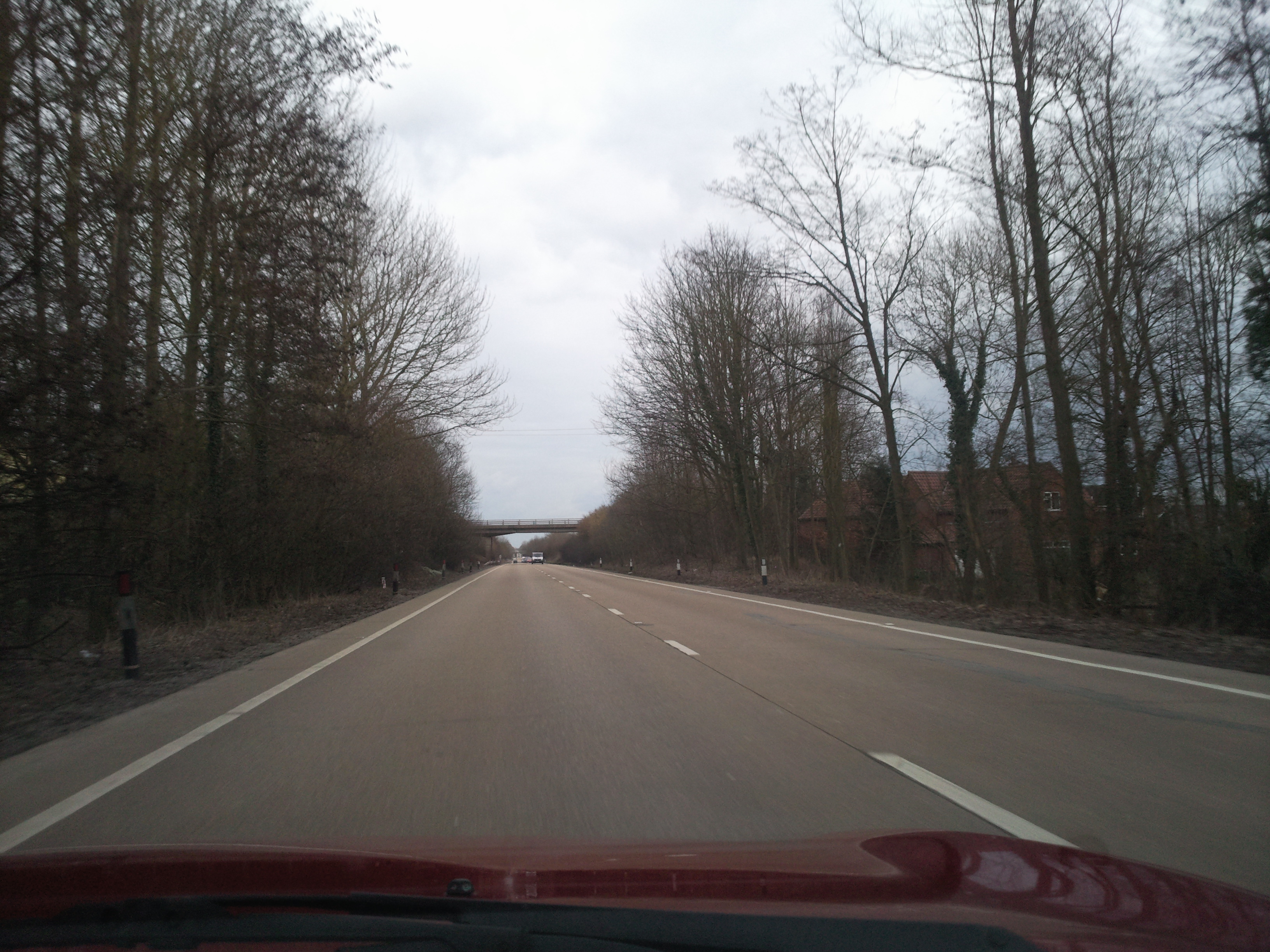
Despite its tranquil surroundings, Hall Green benefits from its proximity to nearby towns and cities. The bustling city of Norwich is easily accessible, providing residents with a range of amenities including shopping centers, restaurants, and cultural attractions. The village is well-connected by road, with the A1270 Norwich outer ring road passing close by, linking Hall Green to other major routes in the region.

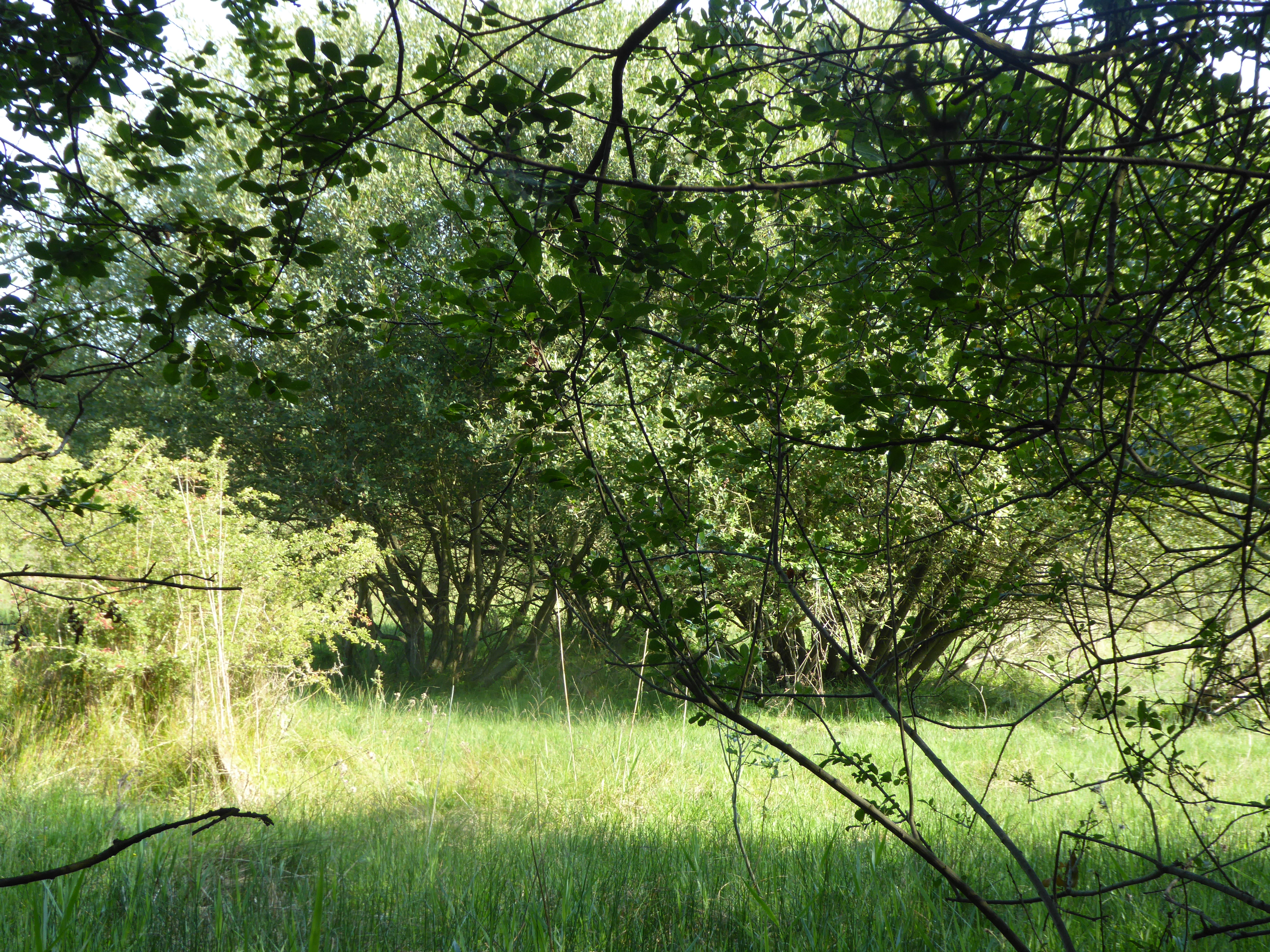
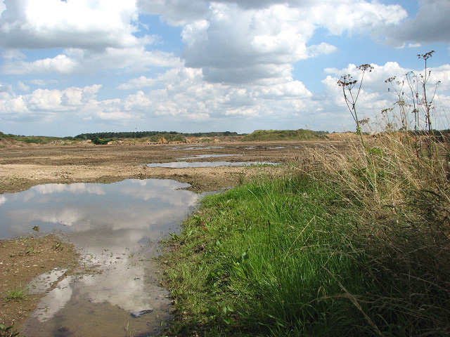
Nature enthusiasts will appreciate the abundance of green spaces and nature reserves in the area. The nearby Whitlingham Country Park offers opportunities for outdoor activities such as walking, cycling, and water sports. The Norfolk Broads, a network of lakes and rivers, are also within reach, providing scenic boat trips and wildlife spotting opportunities.

In summary, Hall Green offers a peaceful and idyllic setting for residents seeking a rural lifestyle, while still enjoying the convenience of nearby urban amenities and natural beauty.

If you have any feedback on the listing, please let us know in the comments section below.
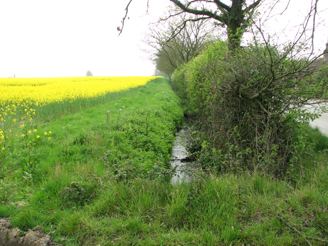
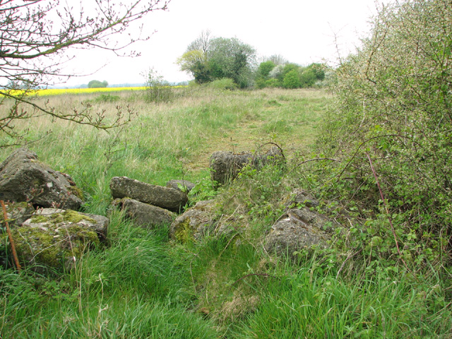
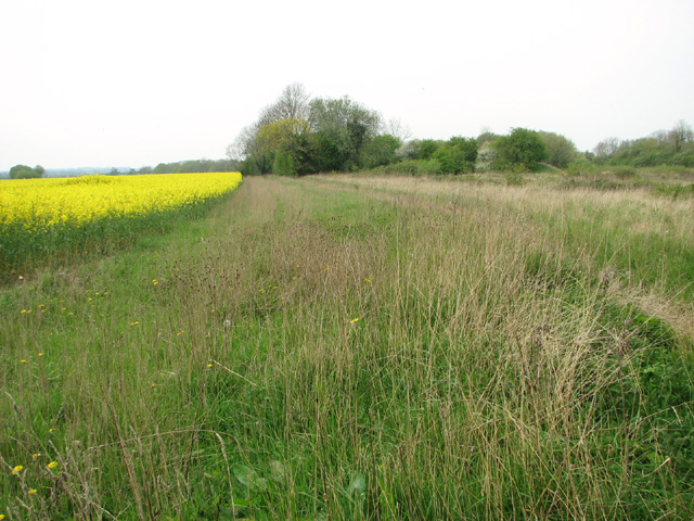
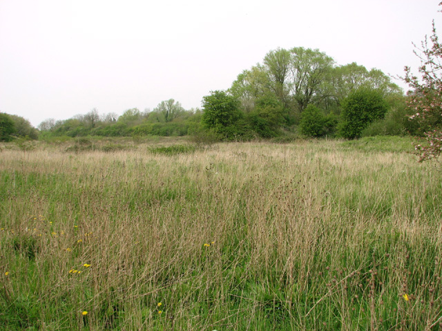
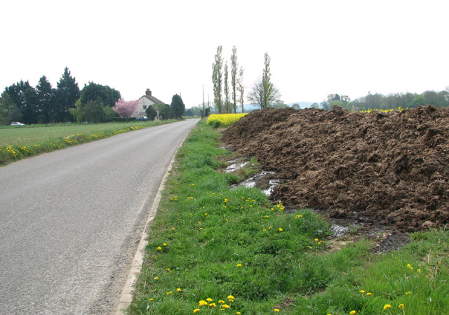
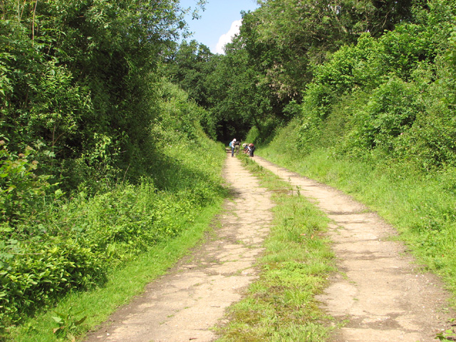
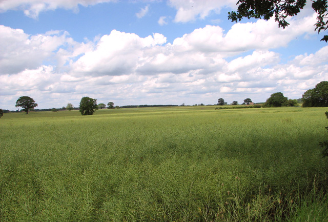
Hall Green Images

Images are sourced within 2km of 52.699137/0.86047705 or Grid Reference TF9315. Thanks to Geograph Open Source API. All images are credited.

Longham Hall The top of the tower of St Mary's church > <a title="https://www.geograph.org.uk/photo/1830231" href="https://www.geograph.org.uk/photo/1830231">Link</a> can be seen in the background.
Longham Hall
The top of the tower of St Mary's church > Link can be seen in the background.
Shed by the Old Rectory
Flowering oilseed rape by Hall Green
Field boundary hedge by the Old Rectory
Field boundary ditch and hedge
Track into Honeypot Wood The wood was used by the 392nd Bombing Group  for the storage of munitions, using the natural camouflage of the woods.
Track into Honeypot Wood
The wood was used by the 392nd Bombing Group for the storage of munitions, using the natural camouflage of the woods.
Oilseed rape crop by Honeypot Wood
Honeypot Wood The wood was used by the 392nd Bombing Group  for the storage of munitions, using the natural camouflage of the woods.
Honeypot Wood
The wood was used by the 392nd Bombing Group for the storage of munitions, using the natural camouflage of the woods.
View along High Street
Old RAF service road through Honeypot Wood The four people seen in the distance were crouched around a clump of sedges they were trying to identify and then record, armed with a magnifying glass, scissors, tweezers and little plastic bags for collecting samples.

Honeypot Wood, an SSSI in the care of the Norfolk Wildlife Trust, is believed to be a remnant of a wild wood dating back to the retreat of the last ice age.  The main track follows the course of the old concrete service roads which in the more overgrown areas are no wider than narrow trails.   In WW2 the wood was used by the 392nd Bombardment Group based at RAF Wendling (USAAF Station 118) > <a title="https://www.geograph.org.uk/photo/3943063" href="https://www.geograph.org.uk/photo/3943063">Link</a> for the storage of bombs and munitions.
Old RAF service road through Honeypot Wood
The four people seen in the distance were crouched around a clump of sedges they were trying to identify and then record, armed with a magnifying glass, scissors, tweezers and little plastic bags for collecting samples. Honeypot Wood, an SSSI in the care of the Norfolk Wildlife Trust, is believed to be a remnant of a wild wood dating back to the retreat of the last ice age. The main track follows the course of the old concrete service roads which in the more overgrown areas are no wider than narrow trails. In WW2 the wood was used by the 392nd Bombardment Group based at RAF Wendling (USAAF Station 118) > Link for the storage of bombs and munitions.
High seat on the western edge of Honeypot Wood This was the road leading from the airfield to the bomb dump. 

Honeypot Wood, an SSSI in the care of the Norfolk Wildlife Trust, is believed to be a remnant of a wild wood dating back to the retreat of the last ice age.  The main track follows the course of the old concrete service roads which in the more overgrown areas are no wider than narrow trails.   In WW2 the wood was used by the 392nd Bombardment Group based at RAF Wendling (USAAF Station 118) > <a title="https://www.geograph.org.uk/photo/3943063" href="https://www.geograph.org.uk/photo/3943063">Link</a> for the storage of bombs and munitions.
High seat on the western edge of Honeypot Wood
This was the road leading from the airfield to the bomb dump. Honeypot Wood, an SSSI in the care of the Norfolk Wildlife Trust, is believed to be a remnant of a wild wood dating back to the retreat of the last ice age. The main track follows the course of the old concrete service roads which in the more overgrown areas are no wider than narrow trails. In WW2 the wood was used by the 392nd Bombardment Group based at RAF Wendling (USAAF Station 118) > Link for the storage of bombs and munitions.
Oilseed rape crops west of Honeypot Wood
Old RAF service road on the western edge of Honeypot Wood This was the road leading from the airfield to the bomb dump.

Honeypot Wood, an SSSI in the care of the Norfolk Wildlife Trust, is believed to be a remnant of a wild wood dating back to the retreat of the last ice age.  The main track follows the course of the old concrete service roads which in the more overgrown areas are no wider than narrow trails.   In WW2 the wood was used by the 392nd Bombardment Group based at RAF Wendling (USAAF Station 118) > <a title="https://www.geograph.org.uk/photo/3943063" href="https://www.geograph.org.uk/photo/3943063">Link</a> for the storage of bombs and munitions.
Old RAF service road on the western edge of Honeypot Wood
This was the road leading from the airfield to the bomb dump. Honeypot Wood, an SSSI in the care of the Norfolk Wildlife Trust, is believed to be a remnant of a wild wood dating back to the retreat of the last ice age. The main track follows the course of the old concrete service roads which in the more overgrown areas are no wider than narrow trails. In WW2 the wood was used by the 392nd Bombardment Group based at RAF Wendling (USAAF Station 118) > Link for the storage of bombs and munitions.
Ex RAF/USAAF building  in Honeypot Wood This was the SAA (Small Arms Ammunition)  store.

Honeypot Wood, an SSSI in the care of the Norfolk Wildlife Trust, is believed to be a remnant of a wild wood dating back to the retreat of the last ice age.  The main track follows the course of the old concrete service roads which in the more overgrown areas are no wider than narrow trails.   In WW2 the wood was used by the 392nd Bombardment Group based at RAF Wendling (USAAF Station 118) > <a title="https://www.geograph.org.uk/photo/3943063" href="https://www.geograph.org.uk/photo/3943063">Link</a> for the storage of bombs and munitions.
Ex RAF/USAAF building in Honeypot Wood
This was the SAA (Small Arms Ammunition) store. Honeypot Wood, an SSSI in the care of the Norfolk Wildlife Trust, is believed to be a remnant of a wild wood dating back to the retreat of the last ice age. The main track follows the course of the old concrete service roads which in the more overgrown areas are no wider than narrow trails. In WW2 the wood was used by the 392nd Bombardment Group based at RAF Wendling (USAAF Station 118) > Link for the storage of bombs and munitions.
Track into Honeypot Wood Two displaced air vents from air raid shelters flank the entrance into the wood.

Honeypot Wood, an SSSI in the care of the Norfolk Wildlife Trust, is believed to be a remnant of a wild wood dating back to the retreat of the last ice age.  The main track follows the course of the old concrete service roads which in the more overgrown areas are no wider than narrow trails.   In WW2 the wood was used by the 392nd Bombardment Group based at RAF Wendling (USAAF Station 118) > <a title="https://www.geograph.org.uk/photo/3943063" href="https://www.geograph.org.uk/photo/3943063">Link</a> for the storage of bombs and munitions.
Track into Honeypot Wood
Two displaced air vents from air raid shelters flank the entrance into the wood. Honeypot Wood, an SSSI in the care of the Norfolk Wildlife Trust, is believed to be a remnant of a wild wood dating back to the retreat of the last ice age. The main track follows the course of the old concrete service roads which in the more overgrown areas are no wider than narrow trails. In WW2 the wood was used by the 392nd Bombardment Group based at RAF Wendling (USAAF Station 118) > Link for the storage of bombs and munitions.
Fields west of Honeypot Wood An ash sapling is growing in the displaced air vent of a WW2 air raid shelter.

Honeypot Wood, an SSSI in the care of the Norfolk Wildlife Trust, is believed to be a remnant of a wild wood dating back to the retreat of the last ice age.  The main track follows the course of the old concrete service roads which in the more overgrown areas are no wider than narrow trails.   In WW2 the wood was used by the 392nd Bombardment Group based at RAF Wendling (USAAF Station 118) > <a title="https://www.geograph.org.uk/photo/3943063" href="https://www.geograph.org.uk/photo/3943063">Link</a> for the storage of bombs and munitions.
Fields west of Honeypot Wood
An ash sapling is growing in the displaced air vent of a WW2 air raid shelter. Honeypot Wood, an SSSI in the care of the Norfolk Wildlife Trust, is believed to be a remnant of a wild wood dating back to the retreat of the last ice age. The main track follows the course of the old concrete service roads which in the more overgrown areas are no wider than narrow trails. In WW2 the wood was used by the 392nd Bombardment Group based at RAF Wendling (USAAF Station 118) > Link for the storage of bombs and munitions.
Narrow track in Honeypot Wood The concrete service road here is so overgrown that only a narrow track remains.

Honeypot Wood, an SSSI in the care of the Norfolk Wildlife Trust, is believed to be a remnant of a wild wood dating back to the retreat of the last ice age.  The main track follows the course of the old concrete service roads which in the more overgrown areas are no wider than narrow trails.   In WW2 the wood was used by the 392nd Bombardment Group based at RAF Wendling (USAAF Station 118) > <a title="https://www.geograph.org.uk/photo/3943063" href="https://www.geograph.org.uk/photo/3943063">Link</a> for the storage of bombs and munitions.
Narrow track in Honeypot Wood
The concrete service road here is so overgrown that only a narrow track remains. Honeypot Wood, an SSSI in the care of the Norfolk Wildlife Trust, is believed to be a remnant of a wild wood dating back to the retreat of the last ice age. The main track follows the course of the old concrete service roads which in the more overgrown areas are no wider than narrow trails. In WW2 the wood was used by the 392nd Bombardment Group based at RAF Wendling (USAAF Station 118) > Link for the storage of bombs and munitions.
Remains of  bomb storage in Honeypot Wood Honeypot Wood, an SSSI in the care of the Norfolk Wildlife Trust, is believed to be a remnant of a wild wood dating back to the retreat of the last ice age.  The main track follows the course of the old concrete service roads which in the more overgrown areas are no wider than narrow trails.   In WW2 the wood was used by the 392nd Bombardment Group based at RAF Wendling (USAAF Station 118) > <a title="https://www.geograph.org.uk/photo/3943063" href="https://www.geograph.org.uk/photo/3943063">Link</a> for the storage of bombs and munitions.
Remains of bomb storage in Honeypot Wood
Honeypot Wood, an SSSI in the care of the Norfolk Wildlife Trust, is believed to be a remnant of a wild wood dating back to the retreat of the last ice age. The main track follows the course of the old concrete service roads which in the more overgrown areas are no wider than narrow trails. In WW2 the wood was used by the 392nd Bombardment Group based at RAF Wendling (USAAF Station 118) > Link for the storage of bombs and munitions.
Show me another place!

Hall Green is located at Grid Ref: TF9315 (Lat: 52.699137, Lng: 0.86047705)

Administrative County: Norfolk

District: Breckland

Police Authority: Norfolk

What 3 Words

///porridge.callers.caller. Near East Dereham, Norfolk

Nearby Locations

Longham Hall Green

Related Wikis

Honeypot Wood

Honeypot Wood is a 9.5-hectare (23-acre) biological Site of Special Scientific Interest west of Dereham in Norfolk. It is managed by the Norfolk Wildlife...

Longham

Longham is a village situated in the Breckland District of Norfolk and covers an area of 540 hectares (2.1 square miles) with a population of 219 in 100...

Wendling railway station

Wendling railway station was a railway station in Wendling, Norfolk on the Great Eastern line between Dereham and King's Lynn. It closed in 1968. This...

Holly Farm Meadow, Wendling

Holly Farm Meadow, Wendling is a 2.6-hectare (6.4-acre) biological Site of Special Scientific Interest west of Dereham in Norfolk, England.This meadow...

Beeston with Bittering

Beeston with Bittering is a civil parish in the Breckland district of Norfolk, England. According to the 2001 census it had a population of 505, increasing...

Wendling, Norfolk

Wendling is a village and civil parish in the English county of Norfolk. It covers an area of 5.25 km2 (2.03 sq mi) and had a population of 323 in 140...

Wendling Abbey

Wendling Abbey was monastic house in Norfolk, England. The Abbey once stood on marshy ground near a small rivulet (small stream) which runs to the south...

Beeston, Norfolk

Beeston is a village in the county of Norfolk, England, in the civil parish of Beeston with Bittering , west of East Dereham and south of Fakenham. It...

Have you been to Hall Green?

Leave your review of Hall Green below (or comments, questions and feedback).