Longham

Civil Parish in Norfolk Breckland

England

Longham

Longham Hall The top of the tower of St Mary's church > <a title="https://www.geograph.org.uk/photo/1830231" href="https://www.geograph.org.uk/photo/1830231">Link</a> can be seen in the background.
Longham Hall Credit: Evelyn Simak

Longham is a civil parish located in the county of Norfolk, England. Situated approximately 7 miles northwest of the city of Norwich, this rural community covers an area of around 5 square miles. The parish is bordered by the parishes of Swanton Morley, Bawdeswell, and North Elmham.

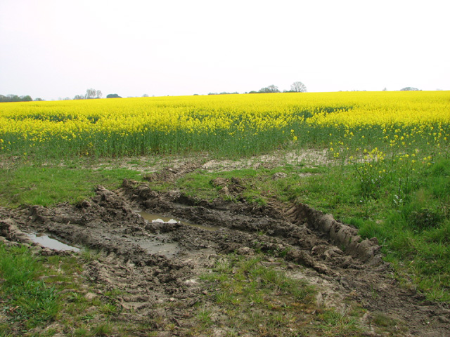
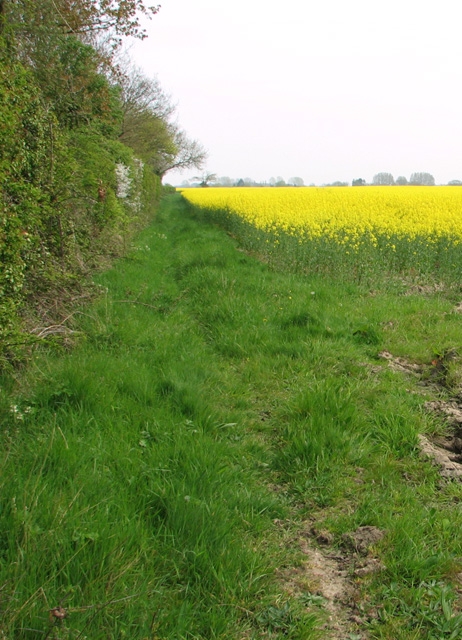
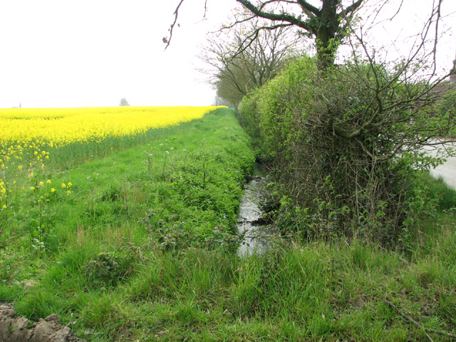
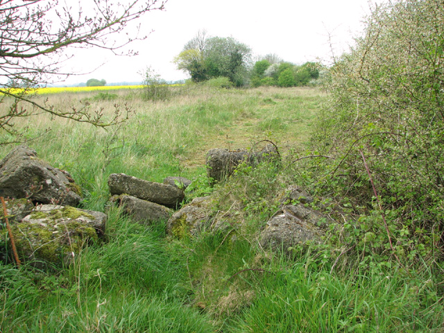
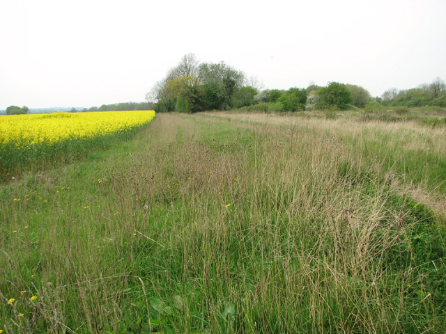
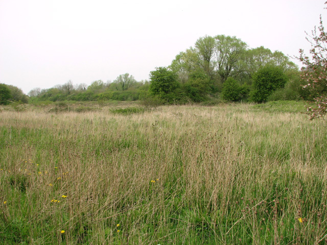
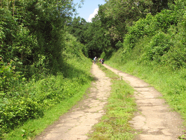
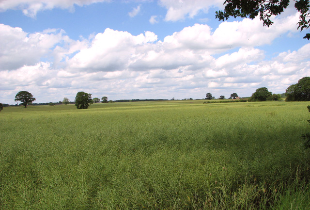
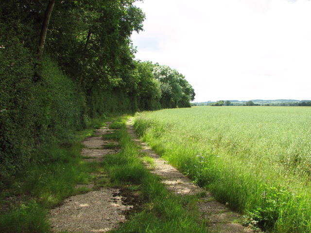
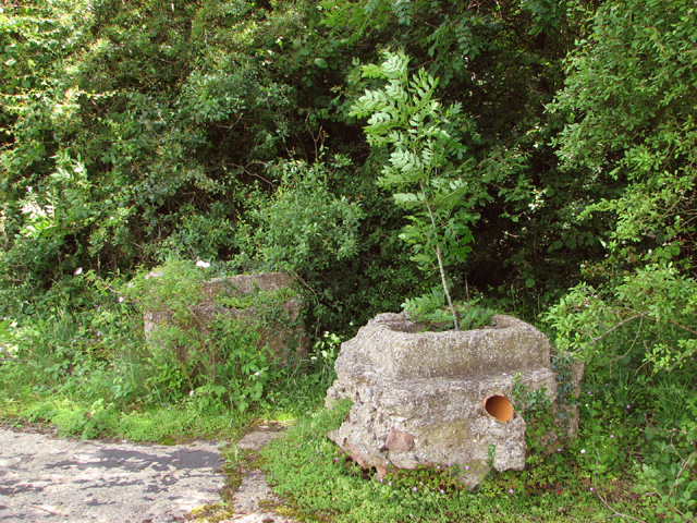
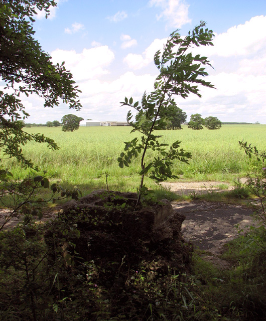
Longham is home to a small population of around 200 residents. The village itself is characterized by its picturesque countryside surroundings, with a mix of agricultural fields, meadows, and woodlands. The River Wensum flows through the eastern part of the parish, adding to the natural beauty of the area.

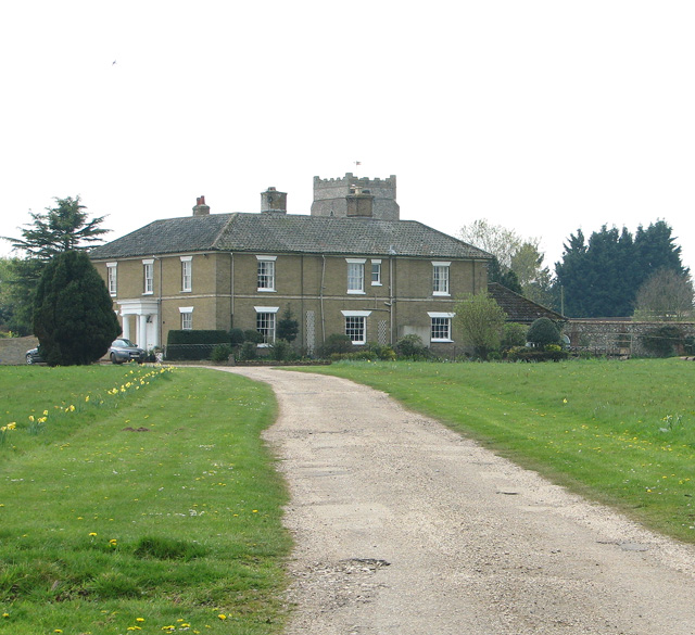
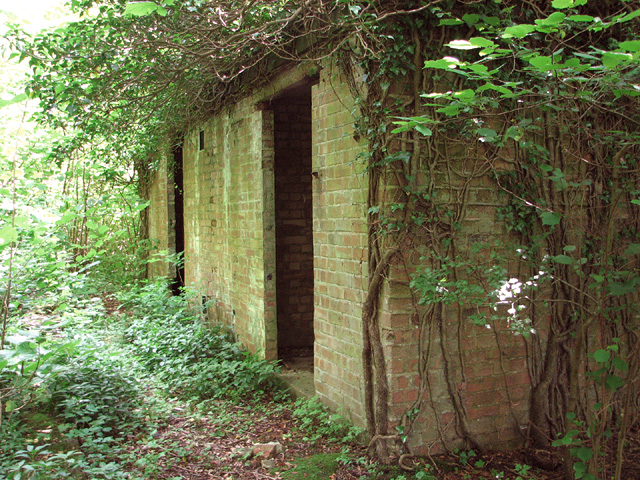
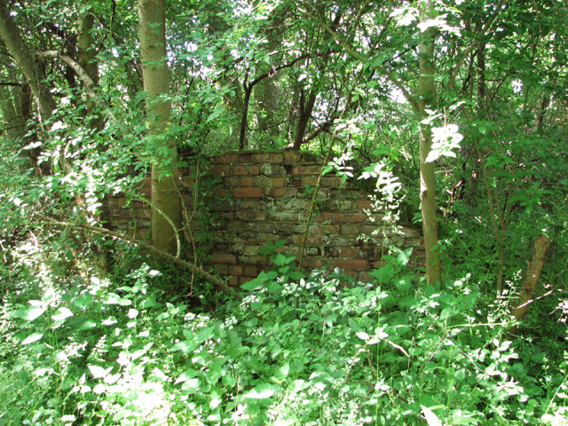
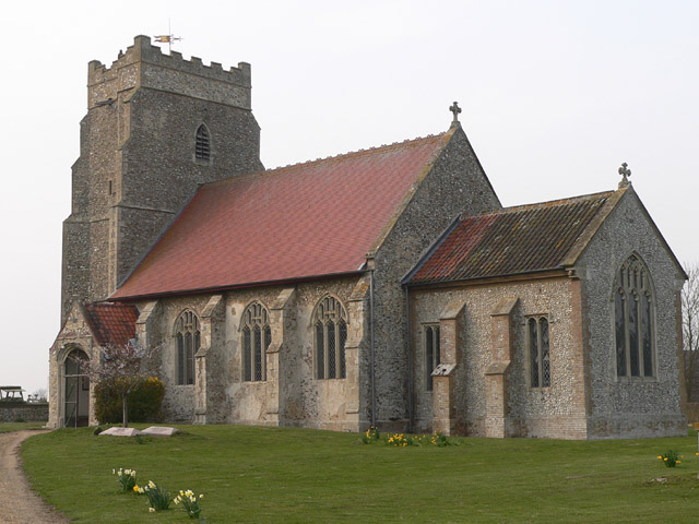
The village of Longham has a rich history that dates back centuries. The name "Longham" is believed to derive from the Old English words "lang" (meaning long) and "ham" (meaning settlement), suggesting that the village has been established since ancient times. Several historical landmarks can be found within the parish, including St. Peter and St. Paul Church, which dates back to the 14th century.

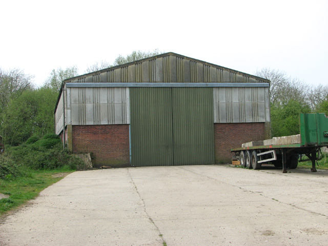
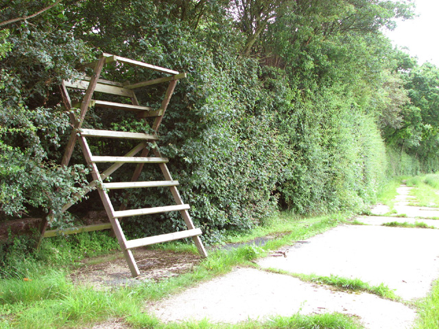
Although primarily a residential area, Longham is also known for its farming activities. Agriculture plays a significant role in the local economy, with fields of crops and livestock grazing in the surrounding countryside.

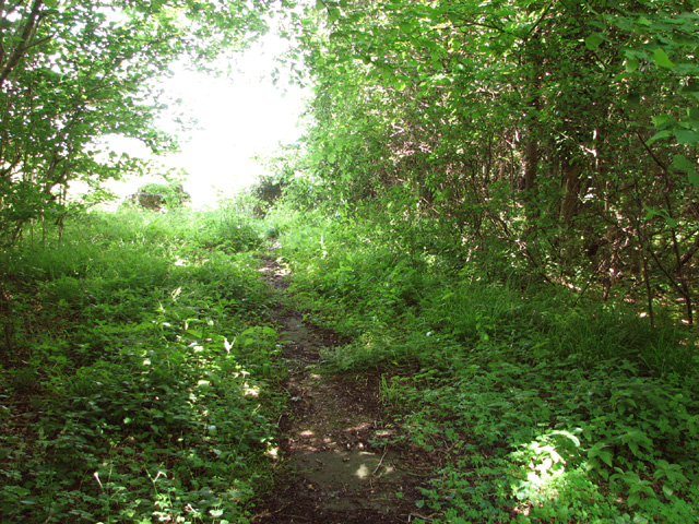
Longham offers a tranquil and scenic environment for residents, with opportunities for outdoor activities such as walking, cycling, and birdwatching. The village benefits from its close proximity to Norwich, providing easy access to a range of amenities and services.

If you have any feedback on the listing, please let us know in the comments section below.
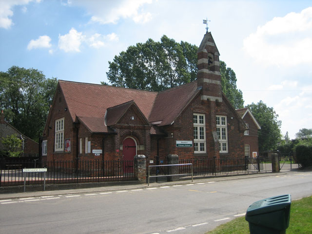
Longham Images

Images are sourced within 2km of 52.706197/0.862543 or Grid Reference TF9315. Thanks to Geograph Open Source API. All images are credited.

Longham Hall The top of the tower of St Mary's church > <a title="https://www.geograph.org.uk/photo/1830231" href="https://www.geograph.org.uk/photo/1830231">Link</a> can be seen in the background.
Longham Hall
The top of the tower of St Mary's church > Link can be seen in the background.
Shed by the Old Rectory
Flowering oilseed rape by Hall Green
Field boundary hedge by the Old Rectory
Field boundary ditch and hedge
Track into Honeypot Wood The wood was used by the 392nd Bombing Group  for the storage of munitions, using the natural camouflage of the woods.
Track into Honeypot Wood
The wood was used by the 392nd Bombing Group for the storage of munitions, using the natural camouflage of the woods.
Oilseed rape crop by Honeypot Wood
Honeypot Wood The wood was used by the 392nd Bombing Group  for the storage of munitions, using the natural camouflage of the woods.
Honeypot Wood
The wood was used by the 392nd Bombing Group for the storage of munitions, using the natural camouflage of the woods.
Old RAF service road through Honeypot Wood The four people seen in the distance were crouched around a clump of sedges they were trying to identify and then record, armed with a magnifying glass, scissors, tweezers and little plastic bags for collecting samples.

Honeypot Wood, an SSSI in the care of the Norfolk Wildlife Trust, is believed to be a remnant of a wild wood dating back to the retreat of the last ice age.  The main track follows the course of the old concrete service roads which in the more overgrown areas are no wider than narrow trails.   In WW2 the wood was used by the 392nd Bombardment Group based at RAF Wendling (USAAF Station 118) > <a title="https://www.geograph.org.uk/photo/3943063" href="https://www.geograph.org.uk/photo/3943063">Link</a> for the storage of bombs and munitions.
Old RAF service road through Honeypot Wood
The four people seen in the distance were crouched around a clump of sedges they were trying to identify and then record, armed with a magnifying glass, scissors, tweezers and little plastic bags for collecting samples. Honeypot Wood, an SSSI in the care of the Norfolk Wildlife Trust, is believed to be a remnant of a wild wood dating back to the retreat of the last ice age. The main track follows the course of the old concrete service roads which in the more overgrown areas are no wider than narrow trails. In WW2 the wood was used by the 392nd Bombardment Group based at RAF Wendling (USAAF Station 118) > Link for the storage of bombs and munitions.
High seat on the western edge of Honeypot Wood This was the road leading from the airfield to the bomb dump. 

Honeypot Wood, an SSSI in the care of the Norfolk Wildlife Trust, is believed to be a remnant of a wild wood dating back to the retreat of the last ice age.  The main track follows the course of the old concrete service roads which in the more overgrown areas are no wider than narrow trails.   In WW2 the wood was used by the 392nd Bombardment Group based at RAF Wendling (USAAF Station 118) > <a title="https://www.geograph.org.uk/photo/3943063" href="https://www.geograph.org.uk/photo/3943063">Link</a> for the storage of bombs and munitions.
High seat on the western edge of Honeypot Wood
This was the road leading from the airfield to the bomb dump. Honeypot Wood, an SSSI in the care of the Norfolk Wildlife Trust, is believed to be a remnant of a wild wood dating back to the retreat of the last ice age. The main track follows the course of the old concrete service roads which in the more overgrown areas are no wider than narrow trails. In WW2 the wood was used by the 392nd Bombardment Group based at RAF Wendling (USAAF Station 118) > Link for the storage of bombs and munitions.
Oilseed rape crops west of Honeypot Wood
Old RAF service road on the western edge of Honeypot Wood This was the road leading from the airfield to the bomb dump.

Honeypot Wood, an SSSI in the care of the Norfolk Wildlife Trust, is believed to be a remnant of a wild wood dating back to the retreat of the last ice age.  The main track follows the course of the old concrete service roads which in the more overgrown areas are no wider than narrow trails.   In WW2 the wood was used by the 392nd Bombardment Group based at RAF Wendling (USAAF Station 118) > <a title="https://www.geograph.org.uk/photo/3943063" href="https://www.geograph.org.uk/photo/3943063">Link</a> for the storage of bombs and munitions.
Old RAF service road on the western edge of Honeypot Wood
This was the road leading from the airfield to the bomb dump. Honeypot Wood, an SSSI in the care of the Norfolk Wildlife Trust, is believed to be a remnant of a wild wood dating back to the retreat of the last ice age. The main track follows the course of the old concrete service roads which in the more overgrown areas are no wider than narrow trails. In WW2 the wood was used by the 392nd Bombardment Group based at RAF Wendling (USAAF Station 118) > Link for the storage of bombs and munitions.
Ex RAF/USAAF building  in Honeypot Wood This was the SAA (Small Arms Ammunition)  store.

Honeypot Wood, an SSSI in the care of the Norfolk Wildlife Trust, is believed to be a remnant of a wild wood dating back to the retreat of the last ice age.  The main track follows the course of the old concrete service roads which in the more overgrown areas are no wider than narrow trails.   In WW2 the wood was used by the 392nd Bombardment Group based at RAF Wendling (USAAF Station 118) > <a title="https://www.geograph.org.uk/photo/3943063" href="https://www.geograph.org.uk/photo/3943063">Link</a> for the storage of bombs and munitions.
Ex RAF/USAAF building in Honeypot Wood
This was the SAA (Small Arms Ammunition) store. Honeypot Wood, an SSSI in the care of the Norfolk Wildlife Trust, is believed to be a remnant of a wild wood dating back to the retreat of the last ice age. The main track follows the course of the old concrete service roads which in the more overgrown areas are no wider than narrow trails. In WW2 the wood was used by the 392nd Bombardment Group based at RAF Wendling (USAAF Station 118) > Link for the storage of bombs and munitions.
Track into Honeypot Wood Two displaced air vents from air raid shelters flank the entrance into the wood.

Honeypot Wood, an SSSI in the care of the Norfolk Wildlife Trust, is believed to be a remnant of a wild wood dating back to the retreat of the last ice age.  The main track follows the course of the old concrete service roads which in the more overgrown areas are no wider than narrow trails.   In WW2 the wood was used by the 392nd Bombardment Group based at RAF Wendling (USAAF Station 118) > <a title="https://www.geograph.org.uk/photo/3943063" href="https://www.geograph.org.uk/photo/3943063">Link</a> for the storage of bombs and munitions.
Track into Honeypot Wood
Two displaced air vents from air raid shelters flank the entrance into the wood. Honeypot Wood, an SSSI in the care of the Norfolk Wildlife Trust, is believed to be a remnant of a wild wood dating back to the retreat of the last ice age. The main track follows the course of the old concrete service roads which in the more overgrown areas are no wider than narrow trails. In WW2 the wood was used by the 392nd Bombardment Group based at RAF Wendling (USAAF Station 118) > Link for the storage of bombs and munitions.
Fields west of Honeypot Wood An ash sapling is growing in the displaced air vent of a WW2 air raid shelter.

Honeypot Wood, an SSSI in the care of the Norfolk Wildlife Trust, is believed to be a remnant of a wild wood dating back to the retreat of the last ice age.  The main track follows the course of the old concrete service roads which in the more overgrown areas are no wider than narrow trails.   In WW2 the wood was used by the 392nd Bombardment Group based at RAF Wendling (USAAF Station 118) > <a title="https://www.geograph.org.uk/photo/3943063" href="https://www.geograph.org.uk/photo/3943063">Link</a> for the storage of bombs and munitions.
Fields west of Honeypot Wood
An ash sapling is growing in the displaced air vent of a WW2 air raid shelter. Honeypot Wood, an SSSI in the care of the Norfolk Wildlife Trust, is believed to be a remnant of a wild wood dating back to the retreat of the last ice age. The main track follows the course of the old concrete service roads which in the more overgrown areas are no wider than narrow trails. In WW2 the wood was used by the 392nd Bombardment Group based at RAF Wendling (USAAF Station 118) > Link for the storage of bombs and munitions.
Narrow track in Honeypot Wood The concrete service road here is so overgrown that only a narrow track remains.

Honeypot Wood, an SSSI in the care of the Norfolk Wildlife Trust, is believed to be a remnant of a wild wood dating back to the retreat of the last ice age.  The main track follows the course of the old concrete service roads which in the more overgrown areas are no wider than narrow trails.   In WW2 the wood was used by the 392nd Bombardment Group based at RAF Wendling (USAAF Station 118) > <a title="https://www.geograph.org.uk/photo/3943063" href="https://www.geograph.org.uk/photo/3943063">Link</a> for the storage of bombs and munitions.
Narrow track in Honeypot Wood
The concrete service road here is so overgrown that only a narrow track remains. Honeypot Wood, an SSSI in the care of the Norfolk Wildlife Trust, is believed to be a remnant of a wild wood dating back to the retreat of the last ice age. The main track follows the course of the old concrete service roads which in the more overgrown areas are no wider than narrow trails. In WW2 the wood was used by the 392nd Bombardment Group based at RAF Wendling (USAAF Station 118) > Link for the storage of bombs and munitions.
Remains of  bomb storage in Honeypot Wood Honeypot Wood, an SSSI in the care of the Norfolk Wildlife Trust, is believed to be a remnant of a wild wood dating back to the retreat of the last ice age.  The main track follows the course of the old concrete service roads which in the more overgrown areas are no wider than narrow trails.   In WW2 the wood was used by the 392nd Bombardment Group based at RAF Wendling (USAAF Station 118) > <a title="https://www.geograph.org.uk/photo/3943063" href="https://www.geograph.org.uk/photo/3943063">Link</a> for the storage of bombs and munitions.
Remains of bomb storage in Honeypot Wood
Honeypot Wood, an SSSI in the care of the Norfolk Wildlife Trust, is believed to be a remnant of a wild wood dating back to the retreat of the last ice age. The main track follows the course of the old concrete service roads which in the more overgrown areas are no wider than narrow trails. In WW2 the wood was used by the 392nd Bombardment Group based at RAF Wendling (USAAF Station 118) > Link for the storage of bombs and munitions.
Dog rose beside narrow track in Honeypot Wood Honeypot Wood, an SSSI in the care of the Norfolk Wildlife Trust, is believed to be a remnant of a wild wood dating back to the retreat of the last ice age.  The main track follows the course of the old concrete service roads which in the more overgrown areas are no wider than narrow trails.   In WW2 the wood was used by the 392nd Bombardment Group based at RAF Wendling (USAAF Station 118) > <a title="https://www.geograph.org.uk/photo/3943063" href="https://www.geograph.org.uk/photo/3943063">Link</a> for the storage of bombs and munitions.
Dog rose beside narrow track in Honeypot Wood
Honeypot Wood, an SSSI in the care of the Norfolk Wildlife Trust, is believed to be a remnant of a wild wood dating back to the retreat of the last ice age. The main track follows the course of the old concrete service roads which in the more overgrown areas are no wider than narrow trails. In WW2 the wood was used by the 392nd Bombardment Group based at RAF Wendling (USAAF Station 118) > Link for the storage of bombs and munitions.
Show me another place!

Longham is located at Grid Ref: TF9315 (Lat: 52.706197, Lng: 0.862543)

Administrative County: Norfolk

District: Breckland

Police Authority: Norfolk

What 3 Words

///duos.crowbar.operated. Near East Dereham, Norfolk

Nearby Locations

Longham Hall Green

Related Wikis

Longham

Longham is a village situated in the Breckland District of Norfolk and covers an area of 540 hectares (2.1 square miles) with a population of 219 in 100...

Honeypot Wood

Honeypot Wood is a 9.5-hectare (23-acre) biological Site of Special Scientific Interest west of Dereham in Norfolk. It is managed by the Norfolk Wildlife...

Beeston with Bittering

Beeston with Bittering is a civil parish in the Breckland district of Norfolk, England. According to the 2001 census it had a population of 505, increasing...

Bittering, Norfolk

Bittering is a hamlet in the county of Norfolk, England, now in the civil parish of Beeston with Bittering. It lies west of East Dereham and south of Fakenham...

Beeston, Norfolk

Beeston is a village in the county of Norfolk, England, in the civil parish of Beeston with Bittering , west of East Dereham and south of Fakenham. It...

Gressenhall

Gressenhall is a village and civil parish in the English county of Norfolk. The villages name origin is uncertain possibly 'Grassy nook of land' or 'gravelly...

Wendling railway station

Wendling railway station was a railway station in Wendling, Norfolk on the Great Eastern line between Dereham and King's Lynn. It closed in 1968. This...

Holly Farm Meadow, Wendling

Holly Farm Meadow, Wendling is a 2.6-hectare (6.4-acre) biological Site of Special Scientific Interest west of Dereham in Norfolk, England.This meadow...

Nearby Amenities

Located within 500m of 52.706197,0.862543
Entrance: main
Lat/Long: 52.7088285/0.858149
Give Way
Lat/Long: 52.7064534/0.859757
Give Way
Lat/Long: 52.7063603/0.8596431
The data included in this document is from www.openstreetmap.org. The data is made available under ODbL.

Have you been to Longham?

Leave your review of Longham below (or comments, questions and feedback).