Hall Green
Settlement in Nottinghamshire Ashfield
England
Hall Green
Hall Green is a small village located in the Rushcliffe district of Nottinghamshire, England. Situated about 7 miles south of Nottingham city center, it is nestled within a picturesque rural landscape, offering a tranquil and idyllic environment for its residents.
The village is characterized by its charming architecture, with many traditional cottages and farmhouses dotting the area. It retains a strong sense of community, with a population of approximately 500 people, making it a close-knit and friendly place to live.
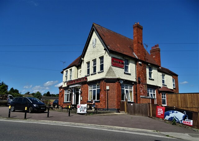
Despite its small size, Hall Green offers a range of amenities to its residents. The village boasts a local pub, The Green Man, which serves as a popular meeting place for locals and visitors alike. Additionally, there is a village hall that hosts various events and gatherings throughout the year, contributing to the communal spirit of the area.
Surrounded by beautiful countryside, Hall Green appeals to nature lovers and outdoor enthusiasts. The nearby countryside offers ample opportunities for walking, cycling, and exploring the scenic surroundings.
In terms of transportation, Hall Green is well-connected to the wider region by road. It is conveniently located near the A52 and A606, providing easy access to Nottingham and other nearby towns and cities. Public transport options are limited, with a bus service running through the village, connecting it to surrounding areas.
Overall, Hall Green offers a peaceful and picturesque setting for those seeking a rural lifestyle, while still being within easy reach of urban amenities.
If you have any feedback on the listing, please let us know in the comments section below.
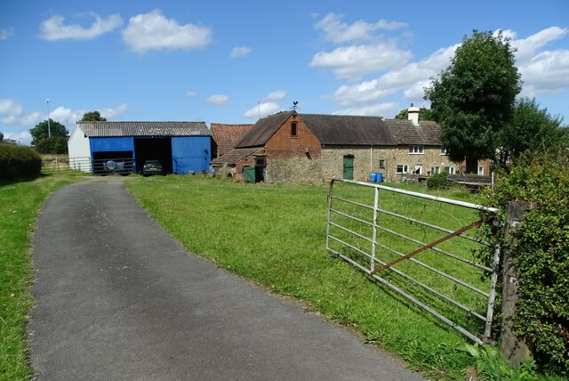
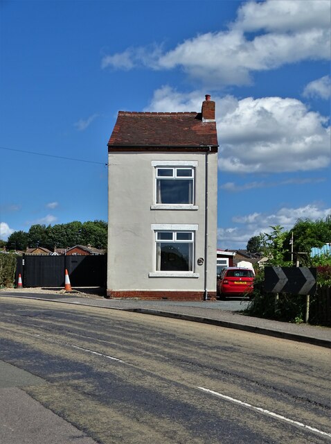
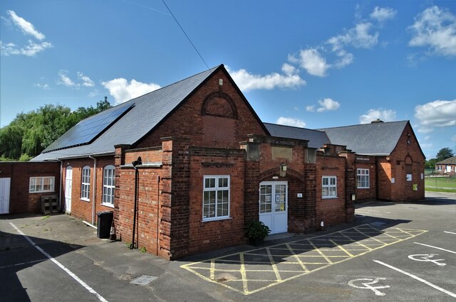
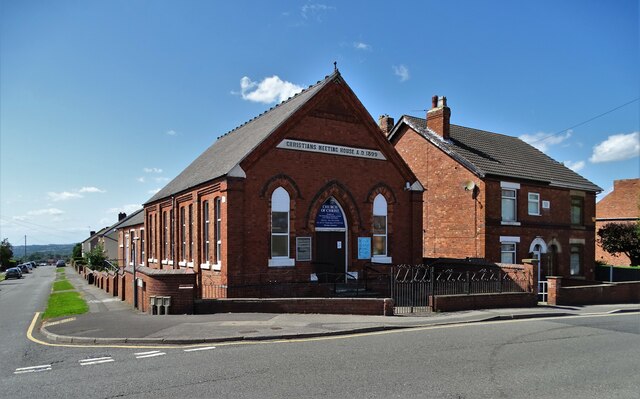
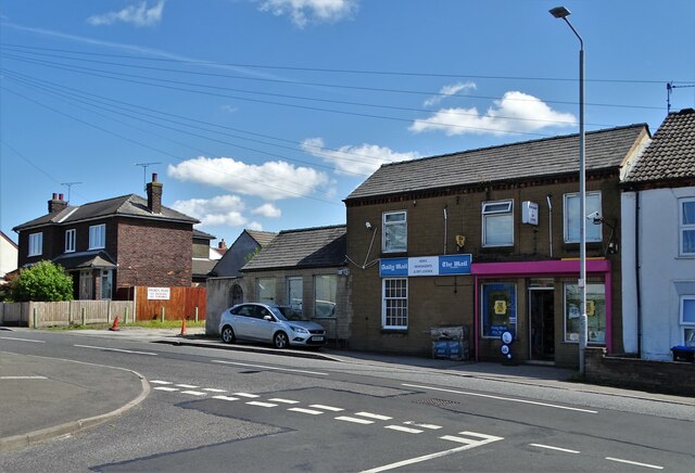
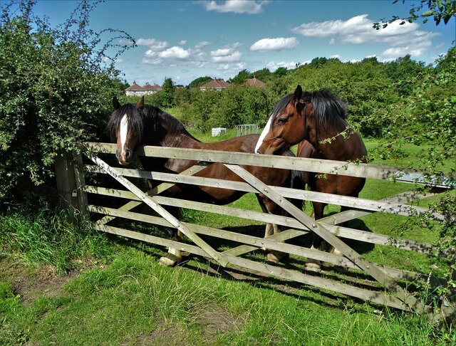
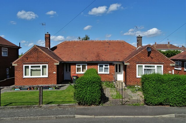
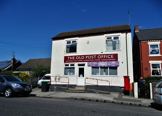
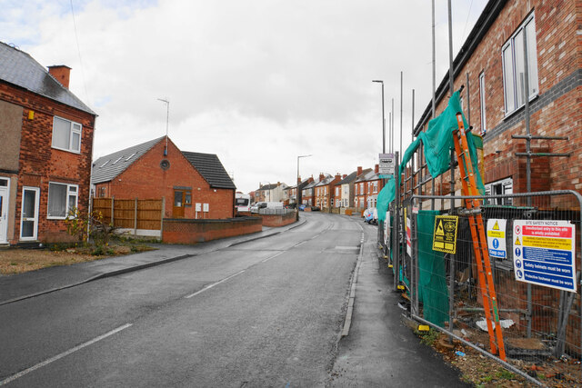
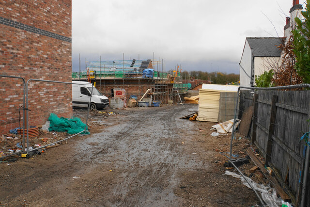
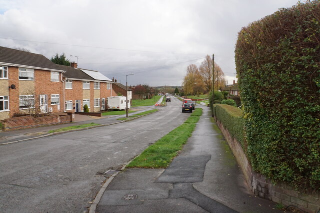
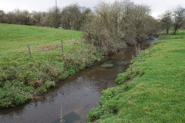
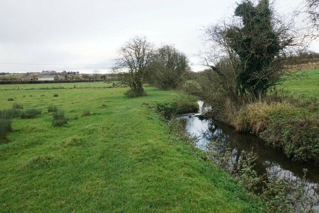
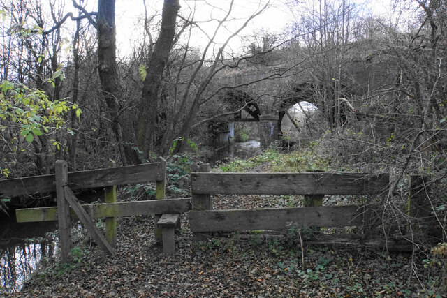
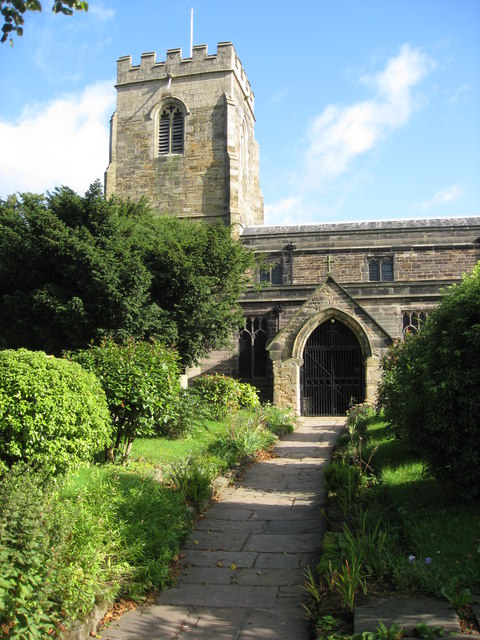
Hall Green Images
Images are sourced within 2km of 53.079219/-1.3118463 or Grid Reference SK4653. Thanks to Geograph Open Source API. All images are credited.
Hall Green is located at Grid Ref: SK4653 (Lat: 53.079219, Lng: -1.3118463)
Administrative County: Nottinghamshire
District: Ashfield
Police Authority: Nottinghamshire
What 3 Words
///amicably.popular.speeding. Near Pinxton, Derbyshire
Nearby Locations
Related Wikis

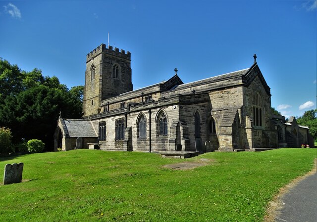
St Helen's Church, Selston
St. Helen's Church, Selston is a parish church in the Church of England in Selston, Nottinghamshire. The church is Grade II* listed by the Department for...

Pinxton and Selston railway station
Pinxton and Selston railway station served the villages of Pinxton, Derbyshire and Selston, Nottinghamshire. It was located on the Midland Railway's Mansfield...

Selston High School
Selston High School is a mixed secondary school that educates students aged 11–16. It is located in Selston, Nottinghamshire, England. The headteacher...
Selston F.C.
Selston F.C. is a football club based in Selston, Nottinghamshire. They are currently members of the United Counties League Division One and play at the...
Pinxton South railway station
Pinxton South railway station was a former railway station that served Pinxton, Derbyshire; the station site lies within the parish of Selston, Nottinghamshire...
Selston
Selston is a large village and civil parish in the Ashfield District of Nottinghamshire, England. It is situated 12 miles (19.3 km) north-northwest of...

Pinxton
Pinxton is a village and civil parish in Derbyshire on the western boundary of Nottinghamshire, England, just south of the Pinxton Interchange at Junction...
Pye Hill and Somercotes railway station
Pye Hill and Somercotes railway station was a railway station on the Great Northern Railway (Great Britain) on its Derbyshire Extension on the branch between...
Nearby Amenities
Located within 500m of 53.079219,-1.3118463Have you been to Hall Green?
Leave your review of Hall Green below (or comments, questions and feedback).