Hall Hills
Settlement in Lincolnshire Boston
England
Hall Hills
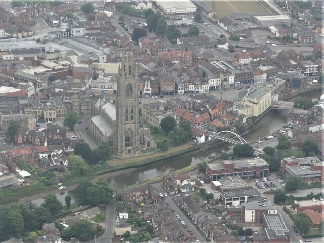
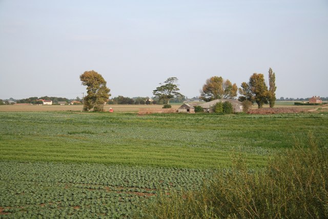
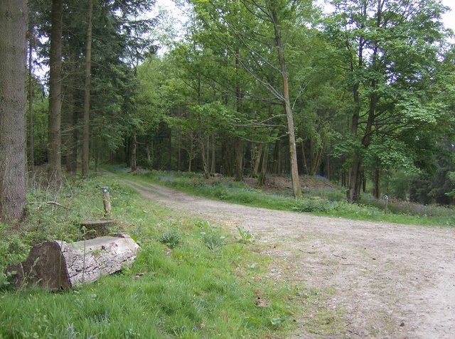
Hall Hills is a village located in the county of Lincolnshire, England. Situated in the North Kesteven district, it is approximately 10 miles north of the city of Lincoln. The village is nestled within the picturesque countryside of this rural area, offering residents and visitors a peaceful and idyllic setting.
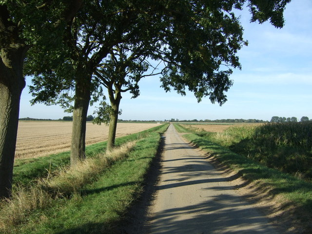
With a population of around 200 people, Hall Hills is a close-knit community that values its traditional heritage. The village is characterized by charming stone cottages and well-maintained gardens, contributing to its distinct English countryside appeal. The surrounding fields and rolling hills provide a stunning backdrop, making it an ideal location for nature enthusiasts and those seeking a tranquil escape from the hustle and bustle of city life.
Despite its small size, Hall Hills boasts a strong sense of community spirit. The village has a local pub, The Green Dragon, which serves as a hub for social gatherings and events. The pub offers a warm and friendly atmosphere, where locals and visitors can enjoy a pint of locally brewed ale and engage in lively conversations.
Hall Hills is conveniently located near several amenities and attractions. The nearby city of Lincoln provides easy access to shopping centers, restaurants, and cultural sites such as Lincoln Cathedral and Lincoln Castle. The village is also well-connected to major road networks, making it easily accessible for commuters and tourists alike.
In conclusion, Hall Hills is a charming village that offers a peaceful and picturesque countryside setting. With its strong sense of community, natural beauty, and proximity to nearby amenities, it is an attractive destination for those seeking a quintessential English village experience.
If you have any feedback on the listing, please let us know in the comments section below.
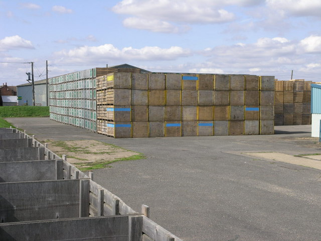
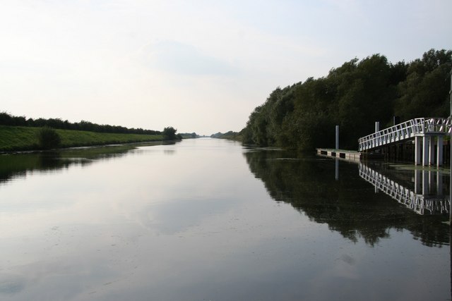
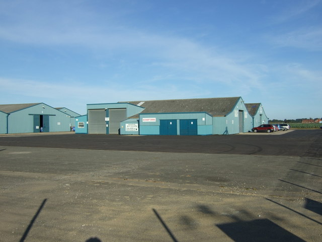
Hall Hills Images
Images are sourced within 2km of 52.997527/-0.046838858 or Grid Reference TF3146. Thanks to Geograph Open Source API. All images are credited.


Hall Hills is located at Grid Ref: TF3146 (Lat: 52.997527, Lng: -0.046838858)
Division: Parts of Holland
Administrative County: Lincolnshire
District: Boston
Police Authority: Lincolnshire
What 3 Words
///evoke.slacker.playoffs. Near Boston, Lincolnshire
Nearby Locations
Related Wikis
Pepper Gowt Plot
Pepper Gowt Plot, also known as Rowlands Marsh, was a hamlet and small tract of extra-parochial land, created when the River Witham was straightened in...

Boston Town F.C.
Boston Town Football Club is a football club based in Boston, Lincolnshire, England. They are currently a members of the United Counties League Premier...
Witham Way Country Park
Witham Way Country Park is a country park in Boston, Lincolnshire, England. == Facilities == There is walking, cycling, horse riding, children's play areas...
Anton's Gowt
Anton's Gowt is a hamlet in the East Lindsey district of Lincolnshire, England. It is situated approximately 2 miles (3 km) north-west from the market...
Haven High Academy
Haven High Academy (formerly Haven High Technology College and Haven High School) is a secondary school with academy status located on Marian Road in the...
Excell International School
Excell International School was a small independent, co-educational, day and boarding school located in Boston, Lincolnshire, England for children aged...

Boston railway station
Boston railway station serves the town of Boston in Lincolnshire, England. It is on the Poacher Line. The station is now owned by Network Rail and managed...
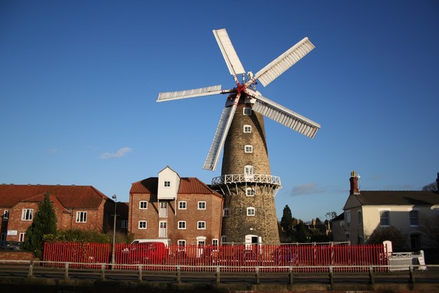
Maud Foster Windmill
Maud Foster Windmill is a seven-storey, five sail windmill located by the Maud Foster Drain in Skirbeck, Boston, Lincolnshire, from which she is named...
Nearby Amenities
Located within 500m of 52.997527,-0.046838858Have you been to Hall Hills?
Leave your review of Hall Hills below (or comments, questions and feedback).