Hall Senna
Settlement in Cumberland Copeland
England
Hall Senna
Hall Senna is a small village located in the county of Cumberland, England. Situated in the picturesque countryside, this rural settlement is known for its scenic beauty and peaceful atmosphere. With a population of around 300 residents, Hall Senna offers a tranquil escape from the hustle and bustle of city life.
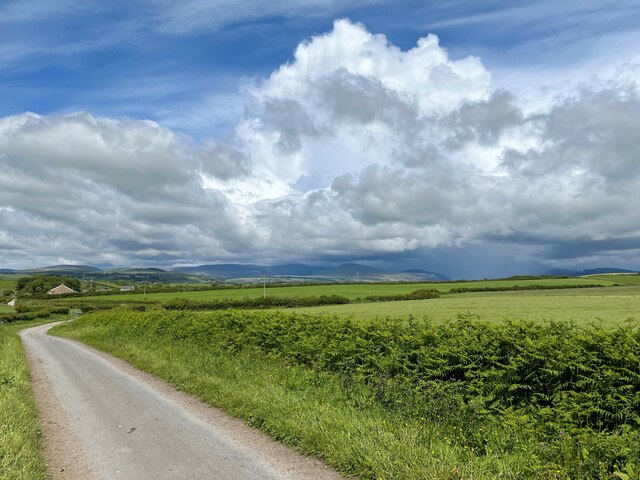
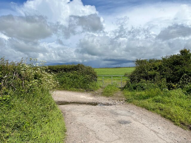
The village is characterized by its traditional English architecture, with charming stone houses and well-maintained gardens adding to its quaint charm. The surrounding landscape is predominantly made up of rolling hills, lush green fields, and dense woodlands, providing ample opportunities for outdoor activities such as hiking, cycling, and nature walks.
Despite its small size, Hall Senna is well-equipped with basic amenities to cater to the needs of its residents. There is a local village hall that serves as a community center where various events and gatherings take place. Additionally, the village has a primary school, a small grocery store, and a post office, ensuring that essential services are readily available to the locals.
Hall Senna is also known for its strong sense of community spirit. The villagers actively engage in several community initiatives and events, fostering a close-knit and friendly atmosphere. Annual festivals and fairs are held, providing opportunities for locals and visitors alike to come together and celebrate.
In conclusion, Hall Senna is a charming village nestled in the scenic countryside of Cumberland. With its beautiful landscapes, traditional architecture, and vibrant community spirit, it is a place that offers a peaceful and idyllic lifestyle for its residents.
If you have any feedback on the listing, please let us know in the comments section below.
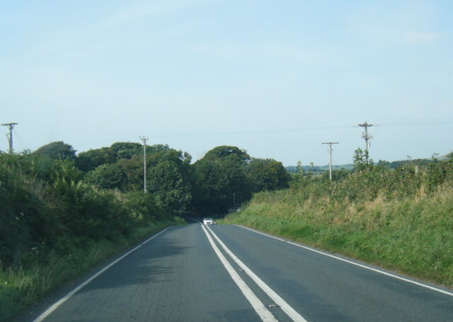
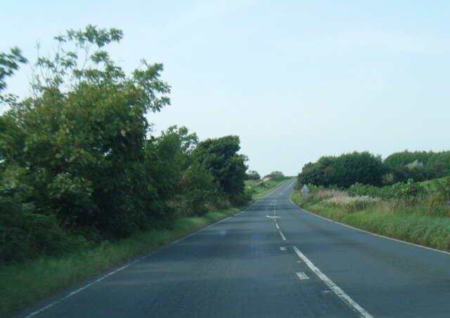
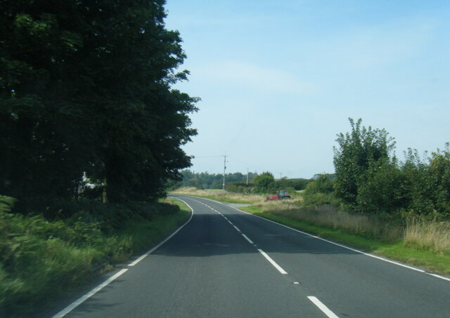
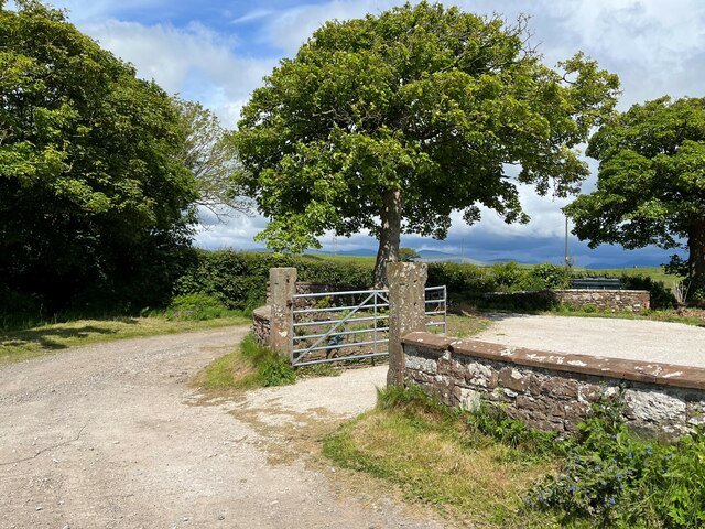
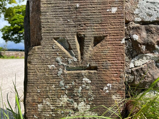
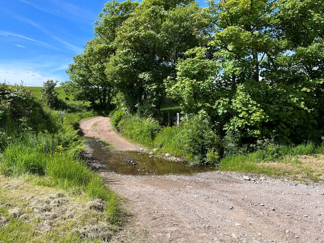
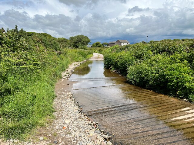
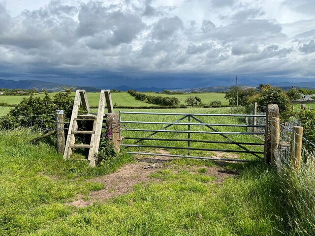
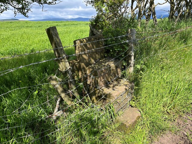
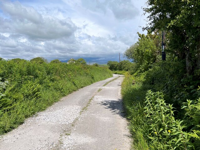
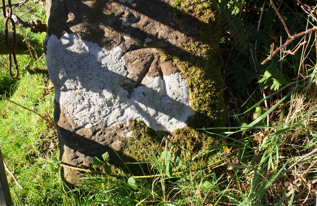
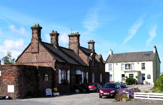
Hall Senna Images
Images are sourced within 2km of 54.397404/-3.4443311 or Grid Reference NY0601. Thanks to Geograph Open Source API. All images are credited.


Hall Senna is located at Grid Ref: NY0601 (Lat: 54.397404, Lng: -3.4443311)
Administrative County: Cumbria
District: Copeland
Police Authority: Cumbria
What 3 Words
///uppermost.tried.disco. Near Seascale, Cumbria
Nearby Locations
Related Wikis
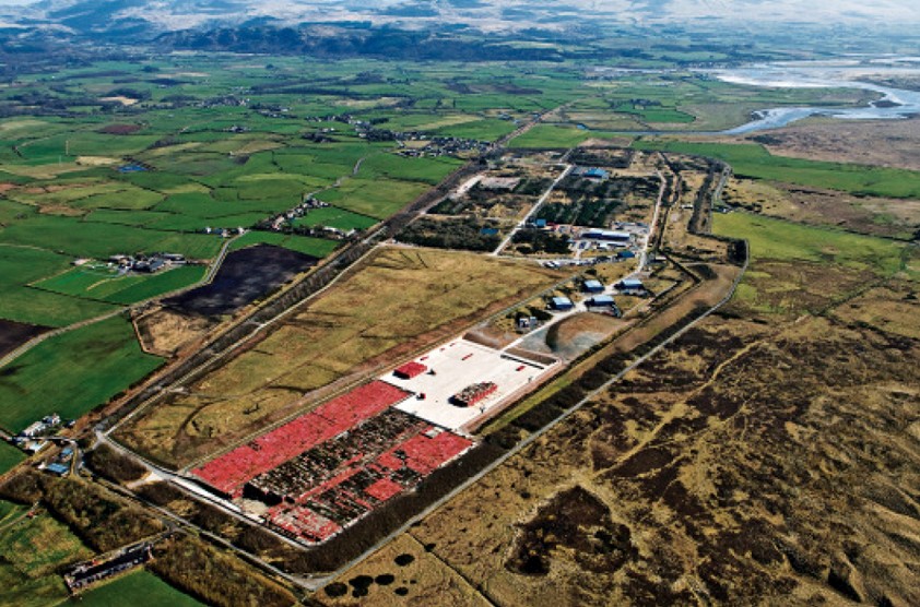
Low Level Waste Repository
The Low Level Waste Repository is the UK's central long-term store for low-level radioactive waste located on the West Cumbrian coast near Drigg village...
Drigg
Drigg is a village situated in the civil parish of Drigg and Carleton on the West Cumbria coast of the Irish Sea and on the boundary of the Lake District...

Holmrook
Holmrook is a linear village in the English county of Cumbria. It lies along the A595 road on the west banks of the River Irt. The B5344 road connects...
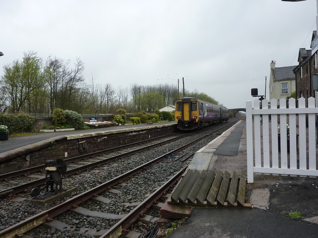
Drigg railway station
Drigg is a railway station on the Cumbrian Coast Line, which runs between Carlisle and Barrow-in-Furness. The station, situated 31 miles (50 km) north...
Nearby Amenities
Located within 500m of 54.397404,-3.4443311Have you been to Hall Senna?
Leave your review of Hall Senna below (or comments, questions and feedback).