Gwehelog Common

Settlement in Monmouthshire

Wales

Gwehelog Common

Track and bridleway Towards The Poplars Farm, crossing the Cayo Brook in the foreground.
Track and bridleway Credit: Jonathan Billinger

Gwehelog Common is a small village located in the county of Monmouthshire, Wales. Situated in the southeastern part of the country, the village is surrounded by picturesque countryside and rolling hills, making it an ideal location for those seeking a tranquil and scenic setting.

The village itself is home to a close-knit community of residents who enjoy the peacefulness and natural beauty of the area. Gwehelog Common is characterized by its charming rural atmosphere, with traditional stone cottages and farmhouses dotting the landscape. The village also boasts a number of well-preserved historic buildings, including a 12th-century church that adds to the village's architectural charm.

Despite its small size, Gwehelog Common offers a range of amenities for its residents. There is a local pub where locals and visitors can enjoy a drink or a meal, and a village hall that serves as a hub for community events and activities. The surrounding area offers plenty of opportunities for outdoor pursuits, such as walking, cycling, and horse riding, with numerous scenic trails and paths to explore.

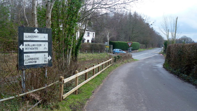
Gwehelog Common is located within easy reach of larger towns and cities, including the nearby town of Usk, which provides additional amenities and services. The village's convenient location also allows for easy access to the beautiful Monmouthshire countryside and the renowned Brecon Beacons National Park.

Overall, Gwehelog Common offers a peaceful and idyllic setting for those seeking a rural lifestyle within a close-knit community, surrounded by stunning natural beauty.

If you have any feedback on the listing, please let us know in the comments section below.

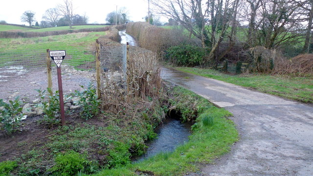
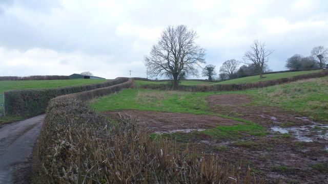
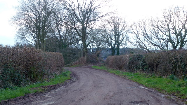
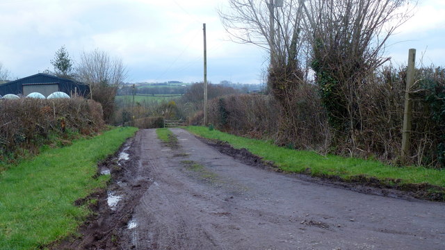
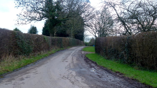
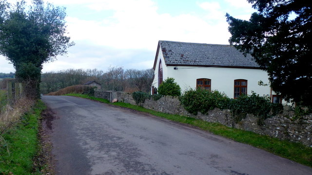
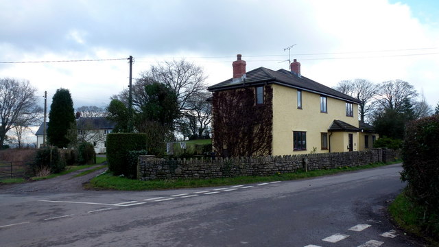
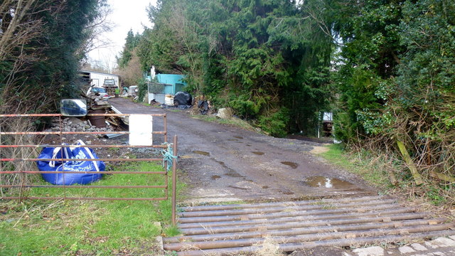
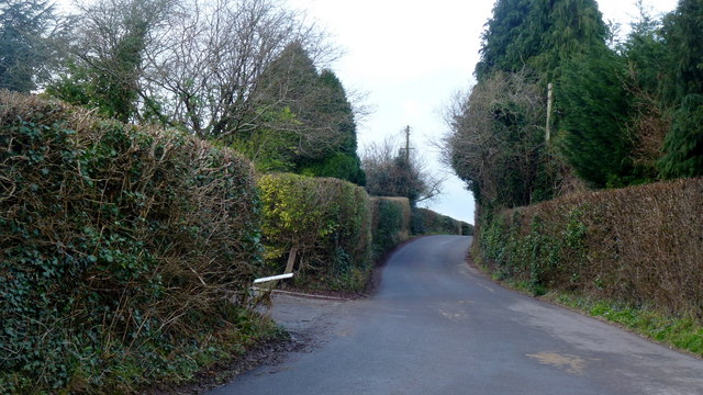
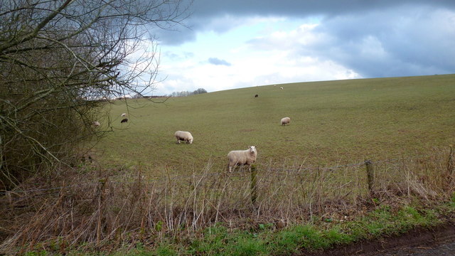
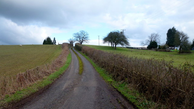
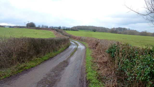
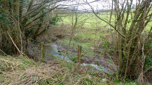
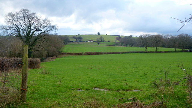
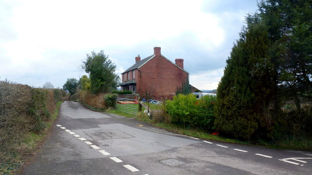
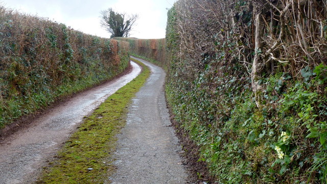
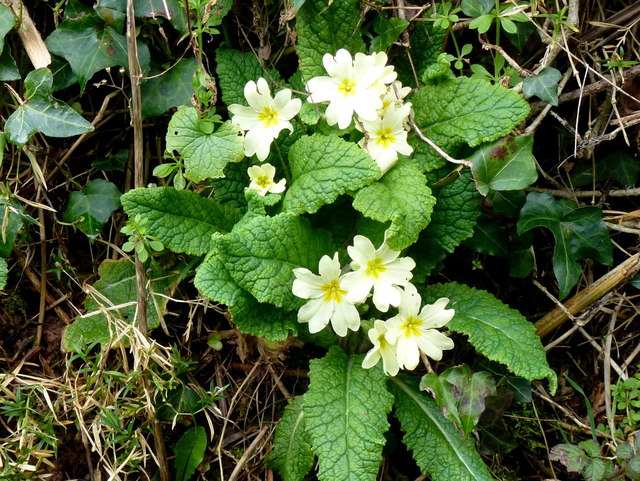
Gwehelog Common Images

Images are sourced within 2km of 51.735071/-2.8874873 or Grid Reference SO3804. Thanks to Geograph Open Source API. All images are credited.

Track and bridleway Towards The Poplars Farm, crossing the Cayo Brook in the foreground.
Track and bridleway
Towards The Poplars Farm, crossing the Cayo Brook in the foreground.
Wet fields by the lane to Gwehelog Common Looking north-west.
Wet fields by the lane to Gwehelog Common
Looking north-west.
Private drive to Pentwyn Not a public right of way.
Private drive to Pentwyn
Not a public right of way.
Track to Chapel Farm Also a bridleway leading north-west from Gwehelog Common.
Track to Chapel Farm
Also a bridleway leading north-west from Gwehelog Common.
Gwehelog Common Road heading south-east with scattered housing.
Gwehelog Common
Road heading south-east with scattered housing.
Gwehelog Methodist Chapel Still apparently in use in February 2016. See also <a href="https://www.geograph.org.uk/photo/407245">SO3804 : Gwehelog Methodist Chapel</a> and <a href="https://www.geograph.org.uk/photo/3224187">SO3804 : Gwehelog Methodist Chapel</a>.
Gwehelog Methodist Chapel
Still apparently in use in February 2016. See also SO3804 : Gwehelog Methodist Chapel and SO3804 : Gwehelog Methodist Chapel.
Houses at Gwehelog Near the Methodist Chapel.
Houses at Gwehelog
Near the Methodist Chapel.
Road junction with pre-Worboys sign Junction on the Usk Road at Keeper's Cottage. The sign has been 'liberated' from the vegetation seen in an early Geograph; <a href="https://www.geograph.org.uk/photo/409645">SO3904 : Old road sign, leaving Gwehelog</a>.
Road junction with pre-Worboys sign
Junction on the Usk Road at Keeper's Cottage. The sign has been 'liberated' from the vegetation seen in an early Geograph; SO3904 : Old road sign, leaving Gwehelog.
Rural business Adjacent to the Usk Road junction at Gwehelog Common.
Rural business
Adjacent to the Usk Road junction at Gwehelog Common.
Lane to Gwehelog Common Leading west from the junction shown in <a href="https://www.geograph.org.uk/photo/5052242">SO3904 : Road junction with pre-Worboys sign</a>.
Lane to Gwehelog Common
Leading west from the junction shown in SO3904 : Road junction with pre-Worboys sign.
Sheep pasture Near Pen-y-rheol.
Sheep pasture
Near Pen-y-rheol.
Lane towards Pen-y-rheol A narrow Monmouthshire lane; Ton Cottages to the right.
Lane towards Pen-y-rheol
A narrow Monmouthshire lane; Ton Cottages to the right.
Lane to Llanwilcae-fach A narrow lane west of the Usk Road.
Lane to Llanwilcae-fach
A narrow lane west of the Usk Road.
Small stream Feeds into the Nant y Wilcae then Olway Brook and finally the River Usk to the sea.
Small stream
Feeds into the Nant y Wilcae then Olway Brook and finally the River Usk to the sea.
Farmland at Llanwilcae-fach Pasture predominates here.
Long Wood farm can be seen in the distance.
Farmland at Llanwilcae-fach
Pasture predominates here. Long Wood farm can be seen in the distance.
Farm cottages at Llanwilcae-fach Lane heads south towards Gwehelog Common and Usk.
Farm cottages at Llanwilcae-fach
Lane heads south towards Gwehelog Common and Usk.
Narrow Monmouthshire lane Towards Llanwilcae-fach.
Narrow Monmouthshire lane
Towards Llanwilcae-fach.
Wild primrose, Primula veris Seen in context on the laneside bank in <a href="https://www.geograph.org.uk/photo/5052293">SO3805 : Narrow Monmouthshire lane</a>.
Wild primrose, Primula veris
Seen in context on the laneside bank in SO3805 : Narrow Monmouthshire lane.
Show me another place!

Gwehelog Common is located at Grid Ref: SO3804 (Lat: 51.735071, Lng: -2.8874873)

Unitary Authority: Monmouthshire

Police Authority: Gwent

What 3 Words

///scrapping.drain.perky. Near Usk, Monmouthshire

Related Wikis

Gwehelog

Gwehelog is a village settlement in the community of Llanarth, in Monmouthshire, south east Wales. == Location == Gwehelog is located 2 miles (3.2 km)...

Trostrey Court

Trostrey Court House, Trostrey, Monmouthshire is a late 16th century gentry house. The current building replaced an earlier medieval court. The house played...

Cefntilla Court

Cefn Tilla Court, Llandenny, Monmouthshire, Wales, is a country house dating from the mid-19th century. Its origins date from 1616. During the English...

Cefntilla Halt railway station

Cefntilla Halt was a request stop on the former Coleford, Monmouth, Usk and Pontypool Railway. It was opened on 27 March 1954 and was open for less than...

Nearby Amenities

Located within 500m of 51.735071,-2.8874873
Gwehelog Common
Place: hamlet
Lat/Long: 51.7322747/-2.8860252
Entrance: yes
Lat/Long: 51.7367792/-2.8856558
Direction: 165
Generator Method: photovoltaic
Generator Output Electricity: yes
Generator Solar Modules: 15
Generator Source: solar
Generator Type: solar_photovoltaic_panel
Location: roof
Power: generator
Lat/Long: 51.7323318/-2.8858168
Direction: 165
Generator Method: photovoltaic
Generator Output Electricity: yes
Generator Solar Modules: 8
Generator Source: solar
Generator Type: solar_photovoltaic_panel
Location: roof
Power: generator
Lat/Long: 51.7324439/-2.8860126
Bus Stop
Trostrey (SE-bound)
Bus: yes
Naptan AtcoCode: 5330AWB35030
Network: Newport Bus
Operator: Newport Bus
Public Transport: platform
Ref: gwegdam
Lat/Long: 51.7347196/-2.8812999
Bus Stop
Trostrey (NW-bound)
Bus: yes
Naptan AtcoCode: 5330AWB35063
Network: Newport Bus
Operator: Newport Bus
Public Transport: platform
Ref: gwegdap
Lat/Long: 51.7350979/-2.8816972
The data included in this document is from www.openstreetmap.org. The data is made available under ODbL.

Have you been to Gwehelog Common?

Leave your review of Gwehelog Common below (or comments, questions and feedback).