Gwalchmai Isaf
Settlement in Anglesey
Wales
Gwalchmai Isaf
Gwalchmai Isaf is a small village located on the island of Anglesey, off the northwest coast of Wales. It is situated approximately 6 miles northwest of the town of Holyhead and 14 miles southwest of the island's largest town, Llangefni.
This rural village is surrounded by picturesque countryside, with rolling hills and farmland dominating the landscape. Gwalchmai Isaf is home to a tight-knit community, with a population of around 300 residents. The village exudes a peaceful and tranquil atmosphere, making it an ideal place for those seeking a quiet and idyllic lifestyle.
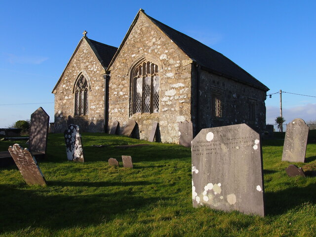
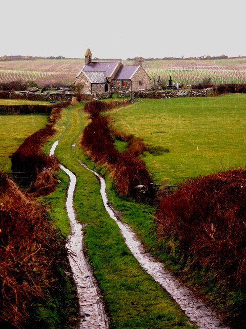
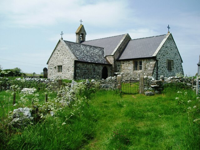
The village features a few amenities to cater to the needs of its residents, including a primary school, a village hall, and a small convenience store. Additionally, Gwalchmai Isaf boasts a charming 12th-century church called St. Morhaiarn's Church, which adds to the historical significance of the area.
The surrounding area offers plenty of opportunities for outdoor activities and exploration. The nearby Cors Goch National Nature Reserve is a haven for birdwatchers and nature enthusiasts, with its diverse range of flora and fauna. The coastal village of Rhosneigr, known for its sandy beaches and water sports, is also just a short drive away.
Overall, Gwalchmai Isaf provides a peaceful and close-knit community lifestyle, surrounded by beautiful countryside and offering easy access to both rural and coastal attractions.
If you have any feedback on the listing, please let us know in the comments section below.
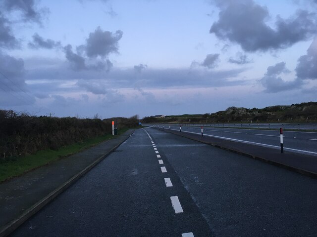
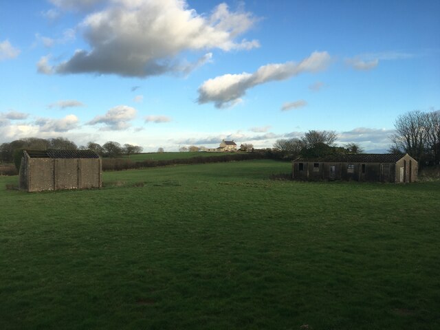
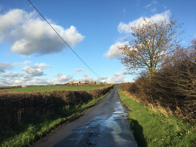
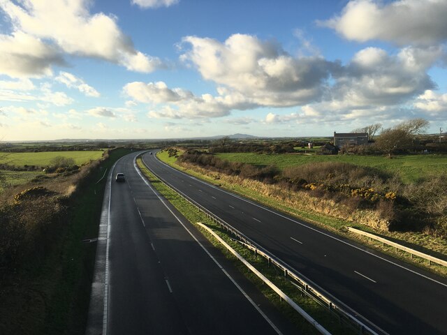
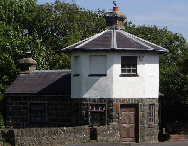
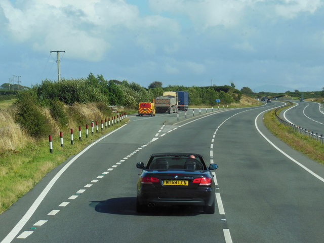
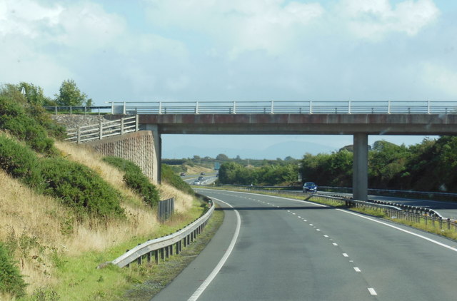
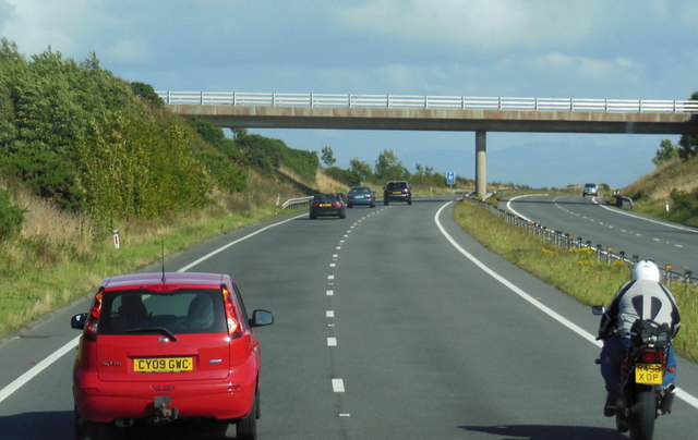
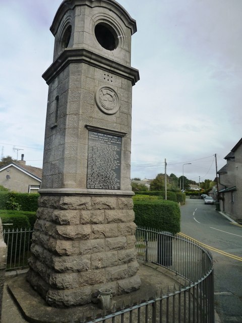
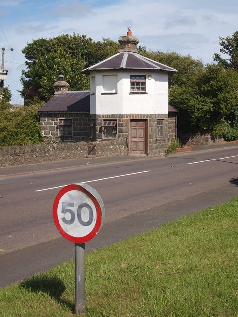
Gwalchmai Isaf Images
Images are sourced within 2km of 53.259719/-4.4163466 or Grid Reference SH3876. Thanks to Geograph Open Source API. All images are credited.
Gwalchmai Isaf is located at Grid Ref: SH3876 (Lat: 53.259719, Lng: -4.4163466)
Unitary Authority: Isle of Anglesey
Police Authority: North Wales
What 3 Words
///refusals.succumbs.dries. Near Bodedern, Isle of Anglesey
Nearby Locations
Related Wikis

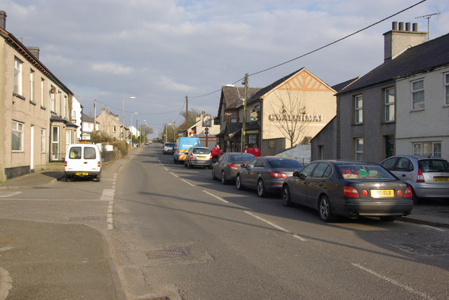
Gwalchmai, Anglesey
Gwalchmai () is a village on Anglesey in north Wales, within the Trewalchmai community. The community's population in the 2011 census was 1009. The village...
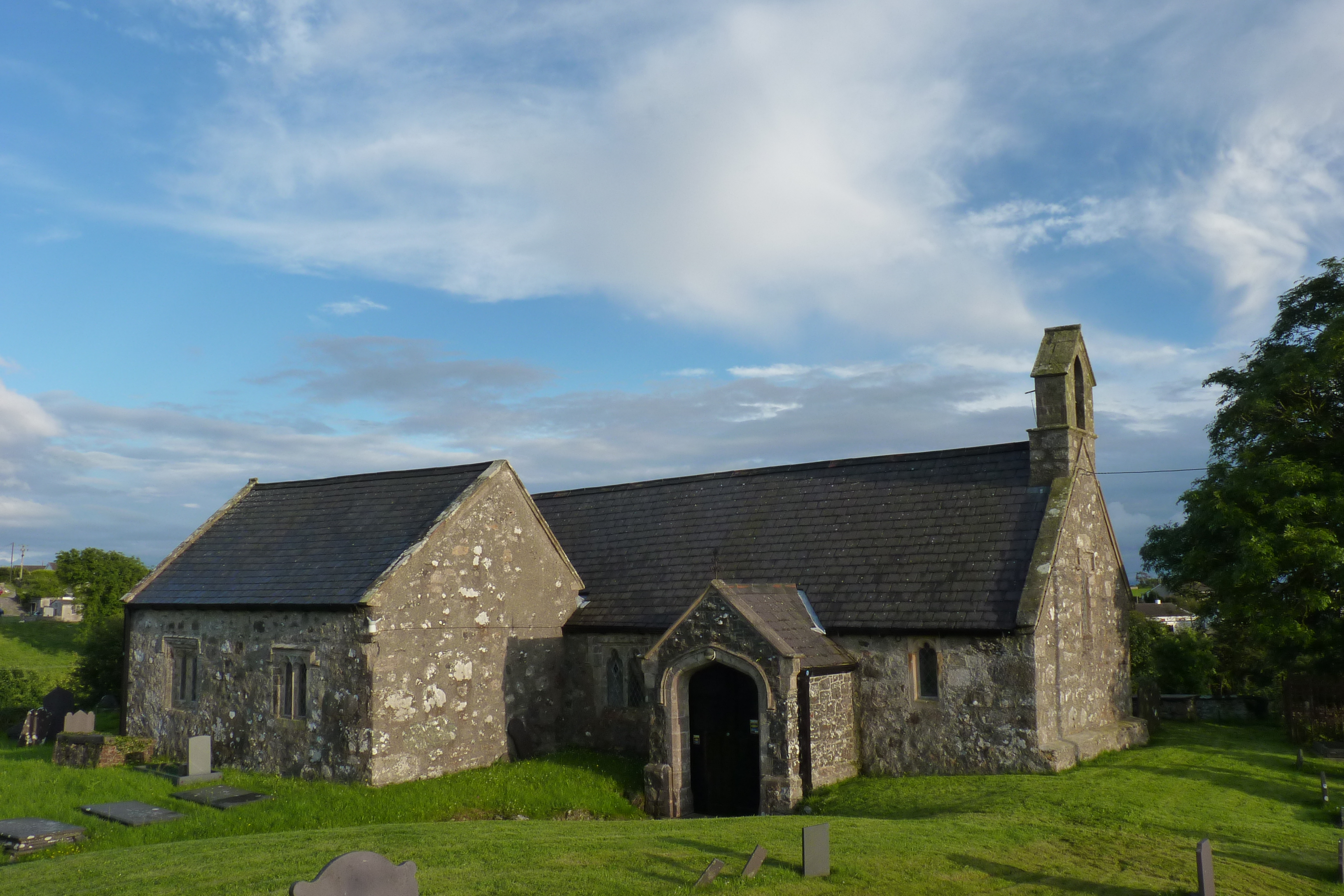
St Morhaiarn's Church, Gwalchmai
St Morhaiarn's Church is a medieval church in the village of Gwalchmai in Anglesey, Wales. The building dates from the 14th century and underwent extensive...
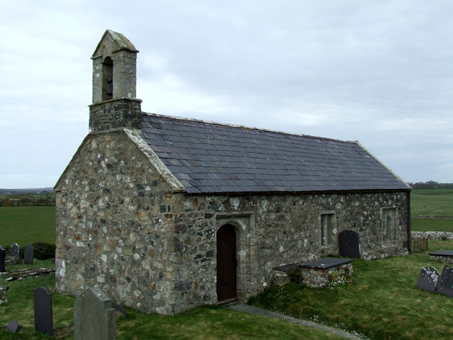
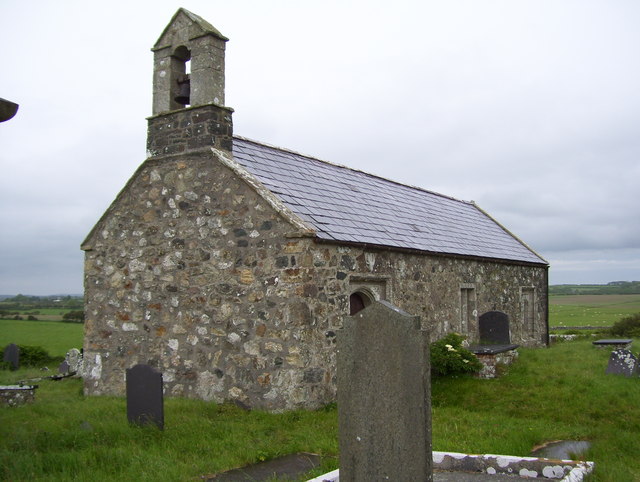
St Twrog's Church, Bodwrog
St Twrog's Church is a small rural church at Bodwrog in Anglesey, North Wales. Built in the late 15th century in a medieval style, some alterations have...

St Peulan's Church, Llanbeulan
St Peulan's Church, Llanbeulan is a redundant Anglican church in Llanbeulan, in Anglesey, north Wales. The nave, which is the oldest part of the building...

Cors Bodwrog
Cors Bodwrog is a mesotrophic mire and a Site of Special Scientific Interest (or SSSI) in Anglesey, North Wales. It has been designated as a Site of Special...
Engedi, Anglesey
Engedi is a hamlet in the community of Bryngwran, Anglesey, Wales, which is 134.1 miles (215.9 km) from Cardiff and 218.9 miles (352.3 km) from London...
Glan-yr-afon, Bodffordd
Glan-yr-afon is a hamlet in the community of Bodffordd, Anglesey, Wales, which is 135 miles (217.3 km) from Cardiff and 218.1 miles (351 km) from London...

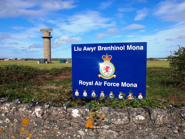
RAF Mona
Royal Air Force Mona, or more simply RAF Mona, (ICAO: EGOQ) is a Royal Air Force station near Bodffordd on the island of Anglesey, Wales. It is primarily...
Nearby Amenities
Located within 500m of 53.259719,-4.4163466Have you been to Gwalchmai Isaf?
Leave your review of Gwalchmai Isaf below (or comments, questions and feedback).