Gwehelog Fawr

Settlement in Monmouthshire

Wales

Gwehelog Fawr

Trostrey Court and Farm Viewed from over 500m away from Church Lane.
This large farm sits in a gentle side valley of the Usk. Its main businesses are dairy and poultry.
The owner is (2015) President of the Royal Welsh Show; see an article on him here; <span class="nowrap"><a title="http://www.southwalesargus.co.uk/news/features/13611591.First_Person__Usk_farmer_David_Morgan/" rel="nofollow ugc noopener" href="http://www.southwalesargus.co.uk/news/features/13611591.First_Person__Usk_farmer_David_Morgan/">Link</a><img style="margin-left:2px;" alt="External link" title="External link - shift click to open in new window" src="https://s1.geograph.org.uk/img/external.png" width="10" height="10"/></span>
Trostrey Court and Farm Credit: Jonathan Billinger

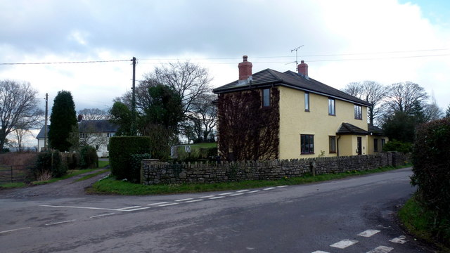
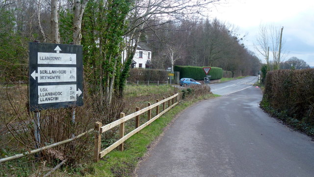
Gwehelog Fawr is a small village located in Monmouthshire, Wales. Situated approximately 5 miles northeast of Usk, the village is nestled in the picturesque countryside of the county. With a population of around 200 residents, it offers a peaceful and close-knit community for its inhabitants.

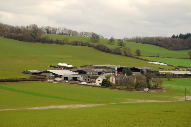
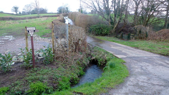
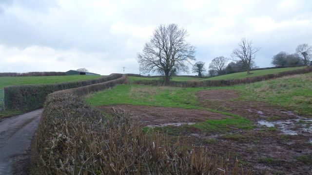
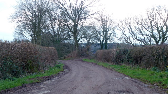
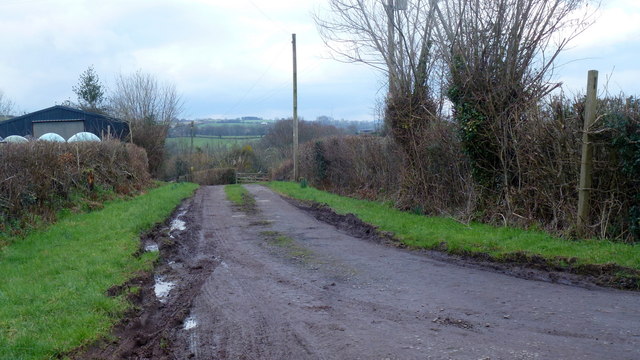
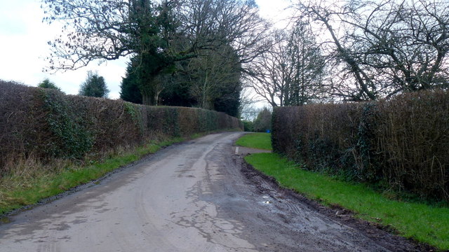
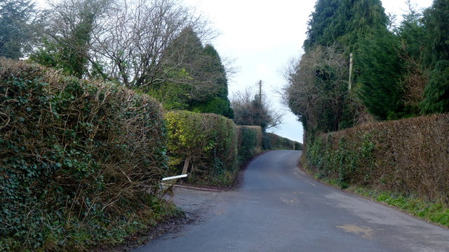
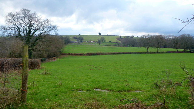
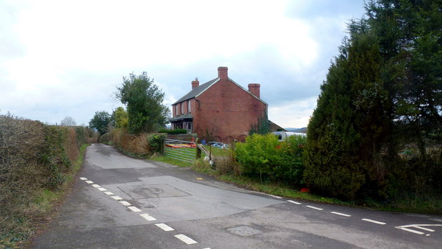
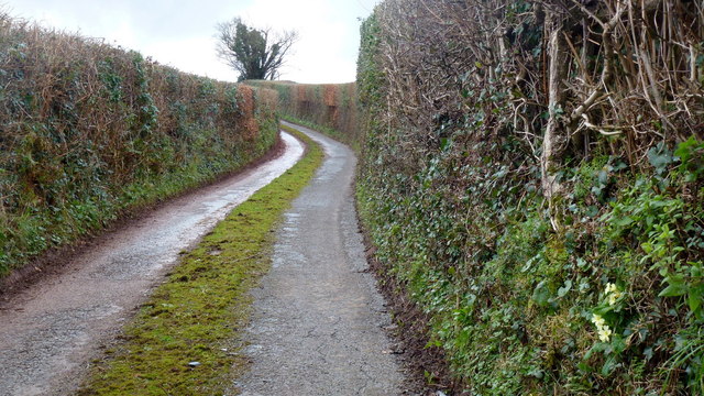
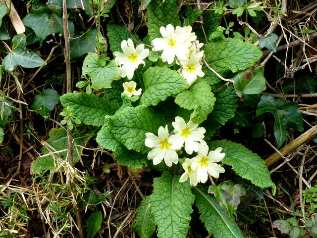
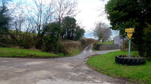
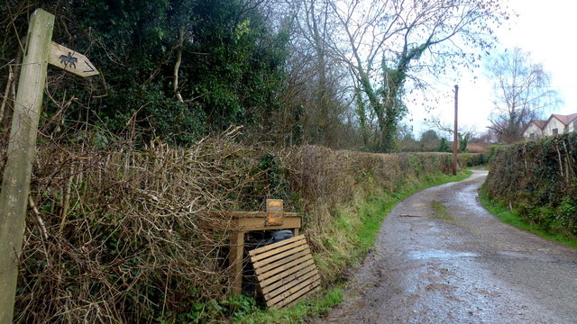
The village is characterized by its charming rural setting, surrounded by rolling green hills, meadows, and farmland. It is blessed with stunning natural beauty, making it an ideal place for nature lovers and those seeking a tranquil lifestyle. The area is also known for its abundant wildlife, with various species of birds and animals inhabiting the countryside.

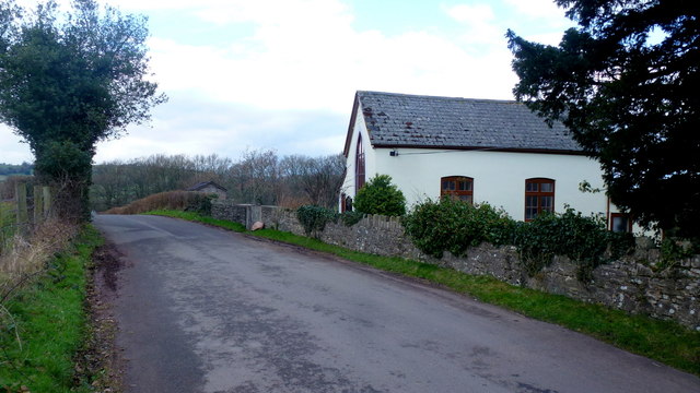
Gwehelog Fawr has a rich history that can be traced back to medieval times. The village is home to several historical landmarks, including St. Catherine's Church, a Grade II listed building dating back to the 12th century. The church is an architectural gem, featuring a beautiful stone tower and intricate stained glass windows.

Although small in size, Gwehelog Fawr offers a range of amenities for its residents. These include a local pub, a village hall for community events, and a primary school. For additional amenities, residents can easily access the nearby town of Usk, which offers a wider range of services and facilities.

Overall, Gwehelog Fawr is a charming village that provides a peaceful and idyllic setting for its residents. It combines natural beauty with a rich historical background, making it an attractive place to live for those seeking a close-knit community and a rural lifestyle.

If you have any feedback on the listing, please let us know in the comments section below.

Gwehelog Fawr Images

Images are sourced within 2km of 51.731269/-2.8991416 or Grid Reference SO3804. Thanks to Geograph Open Source API. All images are credited.

Trostrey Court and Farm Viewed from over 500m away from Church Lane.
This large farm sits in a gentle side valley of the Usk. Its main businesses are dairy and poultry.
The owner is (2015) President of the Royal Welsh Show; see an article on him here; <span class="nowrap"><a title="http://www.southwalesargus.co.uk/news/features/13611591.First_Person__Usk_farmer_David_Morgan/" rel="nofollow ugc noopener" href="http://www.southwalesargus.co.uk/news/features/13611591.First_Person__Usk_farmer_David_Morgan/">Link</a><img style="margin-left:2px;" alt="External link" title="External link - shift click to open in new window" src="https://s1.geograph.org.uk/img/external.png" width="10" height="10"/></span>
Trostrey Court and Farm
Viewed from over 500m away from Church Lane. This large farm sits in a gentle side valley of the Usk. Its main businesses are dairy and poultry. The owner is (2015) President of the Royal Welsh Show; see an article on him here; LinkExternal link
Track and bridleway Towards The Poplars Farm, crossing the Cayo Brook in the foreground.
Track and bridleway
Towards The Poplars Farm, crossing the Cayo Brook in the foreground.
Wet fields by the lane to Gwehelog Common Looking north-west.
Wet fields by the lane to Gwehelog Common
Looking north-west.
Private drive to Pentwyn Not a public right of way.
Private drive to Pentwyn
Not a public right of way.
Track to Chapel Farm Also a bridleway leading north-west from Gwehelog Common.
Track to Chapel Farm
Also a bridleway leading north-west from Gwehelog Common.
Gwehelog Common Road heading south-east with scattered housing.
Gwehelog Common
Road heading south-east with scattered housing.
Gwehelog Methodist Chapel Still apparently in use in February 2016. See also <a href="https://www.geograph.org.uk/photo/407245">SO3804 : Gwehelog Methodist Chapel</a> and <a href="https://www.geograph.org.uk/photo/3224187">SO3804 : Gwehelog Methodist Chapel</a>.
Gwehelog Methodist Chapel
Still apparently in use in February 2016. See also SO3804 : Gwehelog Methodist Chapel and SO3804 : Gwehelog Methodist Chapel.
Houses at Gwehelog Near the Methodist Chapel.
Houses at Gwehelog
Near the Methodist Chapel.
Road junction with pre-Worboys sign Junction on the Usk Road at Keeper's Cottage. The sign has been 'liberated' from the vegetation seen in an early Geograph; <a href="https://www.geograph.org.uk/photo/409645">SO3904 : Old road sign, leaving Gwehelog</a>.
Road junction with pre-Worboys sign
Junction on the Usk Road at Keeper's Cottage. The sign has been 'liberated' from the vegetation seen in an early Geograph; SO3904 : Old road sign, leaving Gwehelog.
Rural business Adjacent to the Usk Road junction at Gwehelog Common.
Rural business
Adjacent to the Usk Road junction at Gwehelog Common.
Lane to Gwehelog Common Leading west from the junction shown in <a href="https://www.geograph.org.uk/photo/5052242">SO3904 : Road junction with pre-Worboys sign</a>.
Lane to Gwehelog Common
Leading west from the junction shown in SO3904 : Road junction with pre-Worboys sign.
Farmland at Llanwilcae-fach Pasture predominates here.
Long Wood farm can be seen in the distance.
Farmland at Llanwilcae-fach
Pasture predominates here. Long Wood farm can be seen in the distance.
Farm cottages at Llanwilcae-fach Lane heads south towards Gwehelog Common and Usk.
Farm cottages at Llanwilcae-fach
Lane heads south towards Gwehelog Common and Usk.
Narrow Monmouthshire lane Towards Llanwilcae-fach.
Narrow Monmouthshire lane
Towards Llanwilcae-fach.
Wild primrose, Primula veris Seen in context on the laneside bank in <a href="https://www.geograph.org.uk/photo/5052293">SO3805 : Narrow Monmouthshire lane</a>.
Wild primrose, Primula veris
Seen in context on the laneside bank in SO3805 : Narrow Monmouthshire lane.
Dead-end lane Leads to Hill Farm, passing a house named Pleasant View seen to the left.
Dead-end lane
Leads to Hill Farm, passing a house named Pleasant View seen to the left.
Lane by Long Wood Farm Narrow lane heads north towards Berllwyd.
Lane by Long Wood Farm
Narrow lane heads north towards Berllwyd.
Track and bridleway Towards Walnut Tree House, Trostrey Common.
Track and bridleway
Towards Walnut Tree House, Trostrey Common.
Show me another place!

Gwehelog Fawr is located at Grid Ref: SO3804 (Lat: 51.731269, Lng: -2.8991416)

Unitary Authority: Monmouthshire

Police Authority: Gwent

What 3 Words

///assorted.corrupted.depend. Near Usk, Monmouthshire

Related Wikis

Gwehelog

Gwehelog is a village settlement in the community of Llanarth, in Monmouthshire, south east Wales. == Location == Gwehelog is located 2 miles (3.2 km)...

Trostrey Court

Trostrey Court House, Trostrey, Monmouthshire is a late 16th century gentry house. The current building replaced an earlier medieval court. The house played...

Llancayo

Llancayo is a village in Monmouthshire, south east Wales, United Kingdom. It is located two miles north of Usk on the B4598 road to Abergavenny, in the...

Trostrey

Trostrey (Welsh: Trostre) is a small hamlet and parish in Monmouthshire, in southeast Wales located about 2+1⁄2 miles (4.0 km) north/northwest of Usk....

Nearby Amenities

Located within 500m of 51.731269,-2.8991416
Trostrey Common
Place: hamlet
Lat/Long: 51.73515/-2.895952
The data included in this document is from www.openstreetmap.org. The data is made available under ODbL.

Have you been to Gwehelog Fawr?

Leave your review of Gwehelog Fawr below (or comments, questions and feedback).