Gwenddwr
Settlement in Brecknockshire
Wales
Gwenddwr
Gwenddwr is a small village located in the county of Brecknockshire, Wales. Situated in the heart of the Brecon Beacons National Park, it is surrounded by picturesque landscapes and stunning natural beauty. The village is positioned approximately 8 miles southwest of the town of Builth Wells.
Gwenddwr is characterized by its charming rural atmosphere and traditional Welsh architecture. The village is home to a close-knit community that takes pride in preserving its cultural heritage. The local economy is primarily based on agriculture, with farming being the main occupation for many residents.
One of the notable features of Gwenddwr is its historic church, St. Dubricius, which dates back to the 12th century. The church is an architectural gem, with its medieval stone walls, stained glass windows, and ancient tombs. It serves as a spiritual and social hub for the villagers, hosting regular religious services and community events.
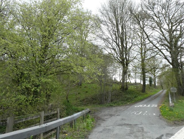
The surrounding countryside offers a plethora of outdoor activities for nature enthusiasts. The nearby Brecon Beacons National Park provides opportunities for hiking, cycling, and wildlife spotting. The tranquil River Irfon flows through the village, offering a peaceful setting for fishing and leisurely walks along its banks.
Despite its small size, Gwenddwr is well-connected to the neighboring towns and cities. The village has convenient road links, making it easily accessible for visitors. It also benefits from being in close proximity to amenities and services available in Builth Wells, such as schools, shops, and healthcare facilities.
In summary, Gwenddwr is a delightful village nestled in the natural beauty of Brecknockshire. Its rich history, idyllic surroundings, and strong sense of community make it a desirable place to live and visit.
If you have any feedback on the listing, please let us know in the comments section below.
Gwenddwr Images
Images are sourced within 2km of 52.079953/-3.36293 or Grid Reference SO0643. Thanks to Geograph Open Source API. All images are credited.


Gwenddwr is located at Grid Ref: SO0643 (Lat: 52.079953, Lng: -3.36293)
Unitary Authority: Powys
Police Authority: Dyfed Powys
What 3 Words
///smiling.narrate.happening. Near Builth Wells, Powys
Related Wikis

Brecon and Radnorshire (UK Parliament constituency)
Brecon and Radnorshire (Welsh: Brycheiniog a Sir Faesyfed) is a county constituency in Wales of the House of Commons of the Parliament of the United Kingdom...

Brecon and Radnorshire (Senedd constituency)
Brecon and Radnorshire (Welsh: Brycheiniog a Sir Faesyfed) is a constituency of the Senedd. It elects one Member of the Senedd by the first past the post...
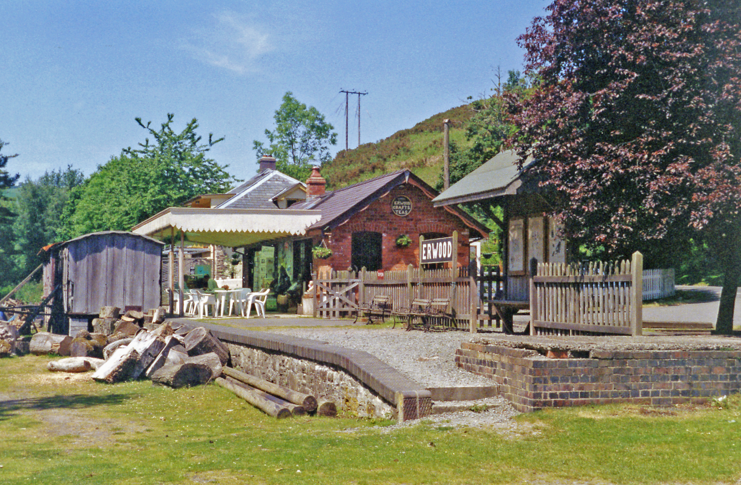
Erwood railway station
Erwood railway station is a former station on the Mid Wales Railway in Erwood, between Brecon and Llanidloes, Powys, Wales.The station building has been...

Erwood
Erwood (Welsh: Erwyd) is a village and community lying beside the River Wye, on the A470 road some 6 miles south-east of Builth Wells in Powys, Wales....
Nearby Amenities
Located within 500m of 52.079953,-3.36293Have you been to Gwenddwr?
Leave your review of Gwenddwr below (or comments, questions and feedback).