Gwern Estyn

Settlement in Flintshire

Wales

Gwern Estyn

Caergwrle Castle
Caergwrle Castle Credit: Chris Andrews

Gwern Estyn is a small village located in the county of Flintshire, Wales. Situated near the town of Mold, it is surrounded by picturesque countryside and offers a peaceful and rural setting. The village is home to a close-knit community that takes pride in its beautiful landscape and rich history.

Gwern Estyn is known for its charming traditional Welsh cottages, which add to its idyllic atmosphere. The village is primarily residential, with a small number of amenities, including a local pub and a community center. The nearby market town of Mold provides additional services and facilities, such as shops, restaurants, and leisure activities.

One of the notable features of Gwern Estyn is its proximity to various natural attractions. The village is located near the beautiful Loggerheads Country Park, which offers stunning woodland walks, picnic spots, and a visitor center. Additionally, the popular Moel Famau Country Park, which is part of the Clwydian Range Area of Outstanding Natural Beauty, is within easy reach.

Gwern Estyn is well-connected to neighboring towns and cities via road links, making it a convenient location for commuters. The village benefits from its tranquil setting, allowing residents to enjoy a peaceful lifestyle while still being within reach of urban amenities.

Overall, Gwern Estyn offers a charming and scenic environment for those seeking a peaceful village lifestyle in the heart of the Flintshire countryside.

If you have any feedback on the listing, please let us know in the comments section below.
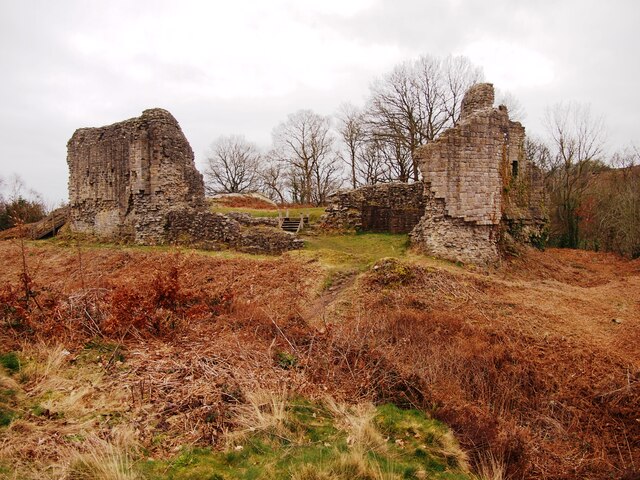
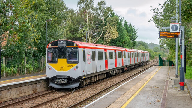
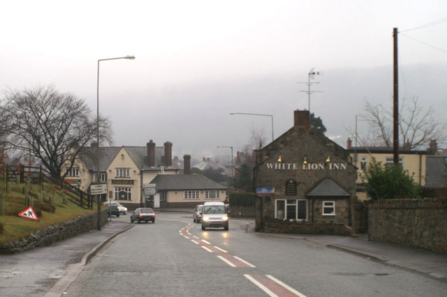
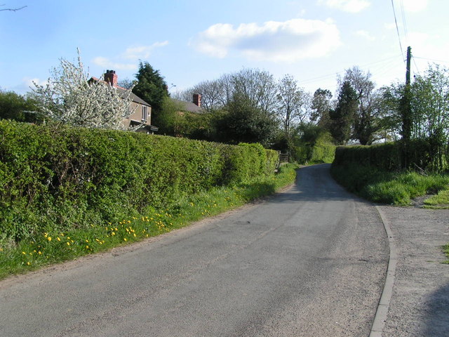
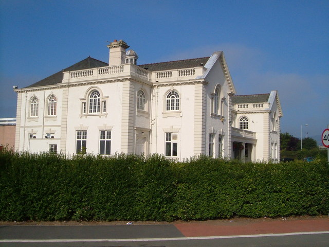
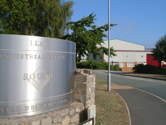
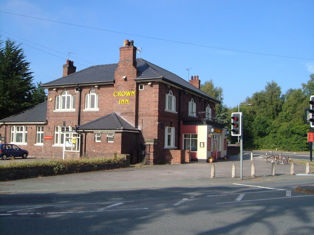
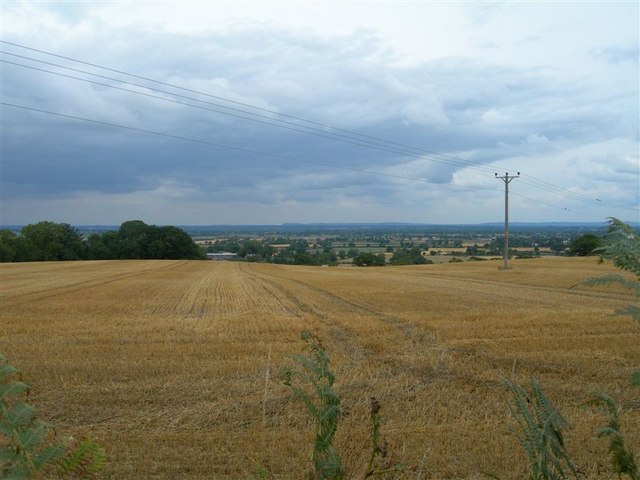
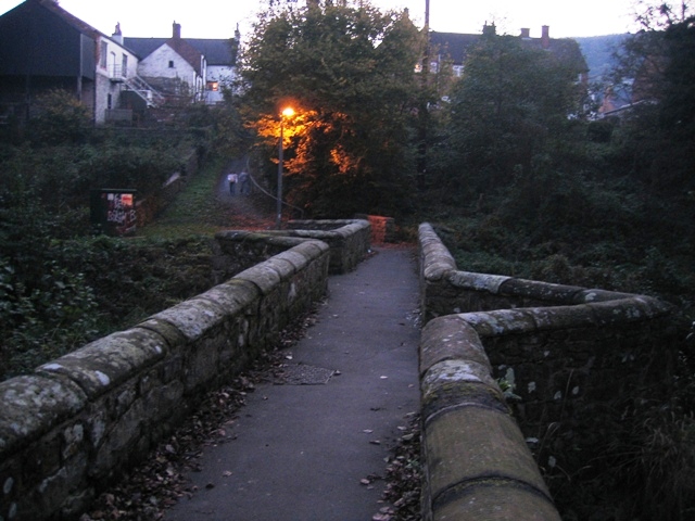
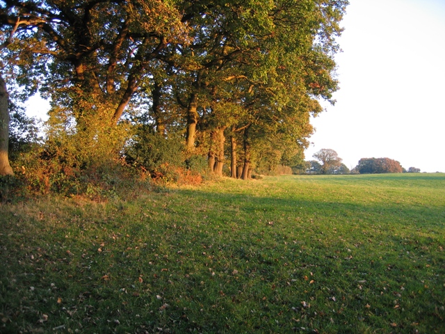
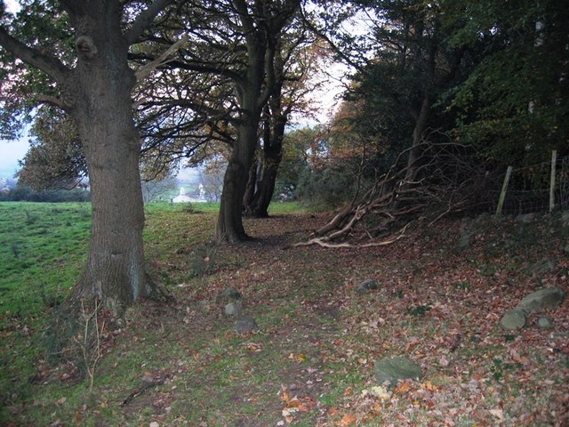
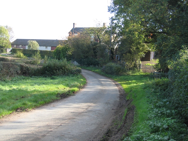
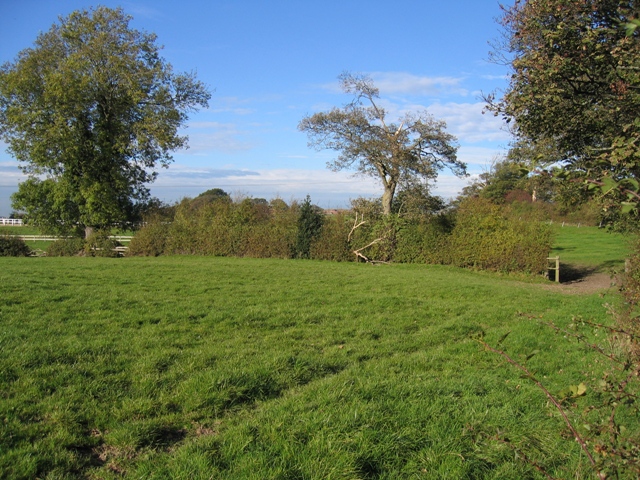
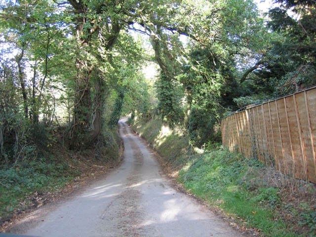
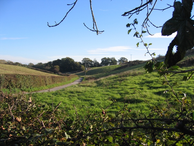
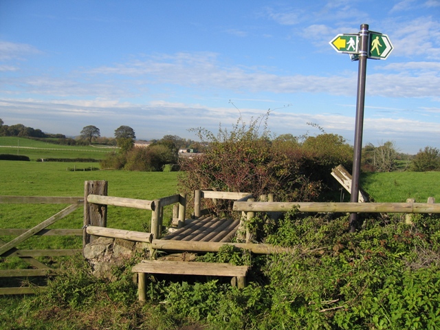
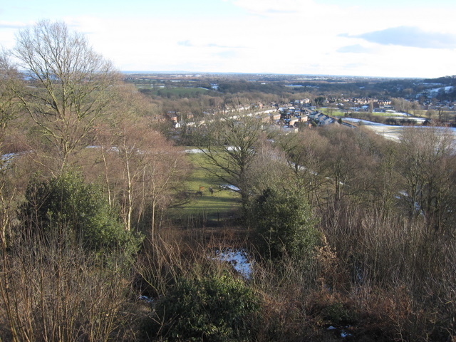
Gwern Estyn Images

Images are sourced within 2km of 53.112991/-3.010267 or Grid Reference SJ3257. Thanks to Geograph Open Source API. All images are credited.

Caergwrle Castle
Caergwrle Castle
DEMU 230007 leaving Hope (Flintshire) Station for Wrexham Converted from London Underground stock
DEMU 230007 leaving Hope (Flintshire) Station for Wrexham
Converted from London Underground stock
Red, or White, Sir? The two pubs on the hill into Hope are the White Lion and the Red Lion
Red, or White, Sir?
The two pubs on the hill into Hope are the White Lion and the Red Lion
Burton Green Cottages at Burton Green, a small hamlet of older cottages and more modern housing.
Burton Green
Cottages at Burton Green, a small hamlet of older cottages and more modern housing.
Llay Miners Welfare Institute This magnificent building was, on completion in 1931, the largest institute in the country built with mining funds. It now offers facilities for conferences, meetings and sports.
Llay Miners Welfare Institute
This magnificent building was, on completion in 1931, the largest institute in the country built with mining funds. It now offers facilities for conferences, meetings and sports.
Llay Industrial Estate south Aerial Road, from the junction with the B5102.
Llay Industrial Estate south
Aerial Road, from the junction with the B5102.
Crown Inn, Llay At the traffic lights where five roads meet at the northern end of Llay.
Crown Inn, Llay
At the traffic lights where five roads meet at the northern end of Llay.
Cottages on Chapel Lane, near Llay Taken from the junction of Higher Lane, Dark Lane and Chapel Lane, looking towards Llay.
Cottages on Chapel Lane, near Llay
Taken from the junction of Higher Lane, Dark Lane and Chapel Lane, looking towards Llay.
View from Higher Lane near Llay The view over fields from Higher Lane near Llay. Beacon Hill near Frodsham is in the far distance.
View from Higher Lane near Llay
The view over fields from Higher Lane near Llay. Beacon Hill near Frodsham is in the far distance.
Caergwrle's Packhorse Bridge/Y Bont Pynfarch Late afternoon on the mid 17th century packhorse bridge at Caergwrle. One of the finest examples of its type in Wales it was restored in 2001 after flood damage. It features low walls to allow for the passage of bulging side packs, and the two triangular recesses allow pedestrians to step out of the way of a packhorse train.
Caergwrle's Packhorse Bridge/Y Bont Pynfarch
Late afternoon on the mid 17th century packhorse bridge at Caergwrle. One of the finest examples of its type in Wales it was restored in 2001 after flood damage. It features low walls to allow for the passage of bulging side packs, and the two triangular recesses allow pedestrians to step out of the way of a packhorse train.
Caergwrle Packhorse Bridge Information Plaque This plaque, which provides information about the old bridge is high up on the wall of the last house on the lane down to the bridge, on the east side.
Caergwrle Packhorse Bridge Information Plaque
This plaque, which provides information about the old bridge is high up on the wall of the last house on the lane down to the bridge, on the east side.
Field boundary in the afternoon sun Taken from the public footpath in the corner of the field, the afternoon sun gives a warm glow to the trees that mark this old field boundary.
Field boundary in the afternoon sun
Taken from the public footpath in the corner of the field, the afternoon sun gives a warm glow to the trees that mark this old field boundary.
Ancient track near Bridge End, Caergwrle Taken on the public footpath/track that crosses the hill above Bridge End.  It seems to be ancient and designed to avoid the low ground alongside the River Alyn.
Ancient track near Bridge End, Caergwrle
Taken on the public footpath/track that crosses the hill above Bridge End. It seems to be ancient and designed to avoid the low ground alongside the River Alyn.
Golly Farm in the hamlet of Golly The lane turns left in front of Golly Farm.  Where the lane narrows there are bridge parapets for the stream shown on the O.S.25,000 map.
Golly Farm in the hamlet of Golly
The lane turns left in front of Golly Farm. Where the lane narrows there are bridge parapets for the stream shown on the O.S.25,000 map.
Field hedge and Ash tree Taken just inside Sj3158 with the field gate and boundary hedge in front at right angles across the field.  The hedge on the right continues past the gate and curves to the left in the distance.
Field hedge and Ash tree
Taken just inside Sj3158 with the field gate and boundary hedge in front at right angles across the field. The hedge on the right continues past the gate and curves to the left in the distance.
Lane at Town Ditch Looking North down the lane at Town Ditch.  In the distance the lane veers right as it crosses into SJ 3259.
Lane at Town Ditch
Looking North down the lane at Town Ditch. In the distance the lane veers right as it crosses into SJ 3259.
Valley near Caer-Estyn This farm track is in a shallow valley with the top of the bank to the right carrying Rackery Lane towards Gresford.
Valley near Caer-Estyn
This farm track is in a shallow valley with the top of the bank to the right carrying Rackery Lane towards Gresford.
Three way stile Not for the indecisive amongst us.
Three way stile
Not for the indecisive amongst us.
Show me another place!

Gwern Estyn is located at Grid Ref: SJ3257 (Lat: 53.112991, Lng: -3.010267)

Unitary Authority: Flintshire

Police Authority: North Wales

What 3 Words

///bubble.haircuts.satin. Near Hope, Flintshire

Related Wikis

Hope Hall

Hope Hall, Hope, Flintshire, Wales was a country house, built in 1740 and demolished in 1960. == The building == Hope Hall was built on the site of am...

Rhydyn Hall

Rhydyn Hall (or Rhyddyn Hall), near Caergwrle in Flintshire, Wales, is an 18th-century building with two storeys with a later wing to the north-west....

Caergwrle railway station

Caergwrle railway station serves the village of Caergwrle in Flintshire, Wales. The station is 4¾ miles (7 km) north of Wrexham Central on the Borderlands...

Abermorddu

Abermorddu () is a village in the county of Flintshire, Wales, in the community of Hope. Approximately 5 miles north of Wrexham along the A541 road, it...

Related Videos

Charlie DOG at the CASTLE

castle #cutedog #cutepet #olddog #oldcastle #northwales #flintshire #caergwle #wrexham #dogwalking #chirk #ryanreynolds.

Caergwrle To Hope | North Wales

From One Station To Another By Foot.

Hope To Penyffordd | North Wales

Walking between these two stations.

Caergwrle Castle - Welsh or English?

King Edward the 1st of England famously built a chain of castles through Wales. Known as the ring of iron, the castles were ...

Nearby Amenities

Located within 500m of 53.112991,-3.010267
The data included in this document is from www.openstreetmap.org. The data is made available under ODbL.

Have you been to Gwern Estyn?

Leave your review of Gwern Estyn below (or comments, questions and feedback).